Plizio Visual Lab
Vreed-en-Hoop

ℹ️Practical info — Vreed-en-Hoop
▾
🌤 Weather — 5 days
📍 Nearby
Sights nearby
💡 Tips
- Take the speedboat taxi across the Demerara River to Georgetown for a quick and scenic commute.
- The stelling (wharf) area is very busy; keep an eye on your belongings.
- It serves as a major transport hub for the West Coast.
- Visit the local market for a bustling Guyanese experience.
🍽 Food
Available in local eateries near the stelling.
Try the egg balls and pine tarts from vendors near the minibus park.
Hearty meals at restaurants along the main road.
🛍 Shopping · 🧘 Quiet spots
A busy hub for fresh produce, clothing, and household goods.
Quick snacks and drinks before catching a boat.
Walk along the coastal defense structure for ocean views.
Move away from the transport hub to find quieter residential streets.
Water temperature…
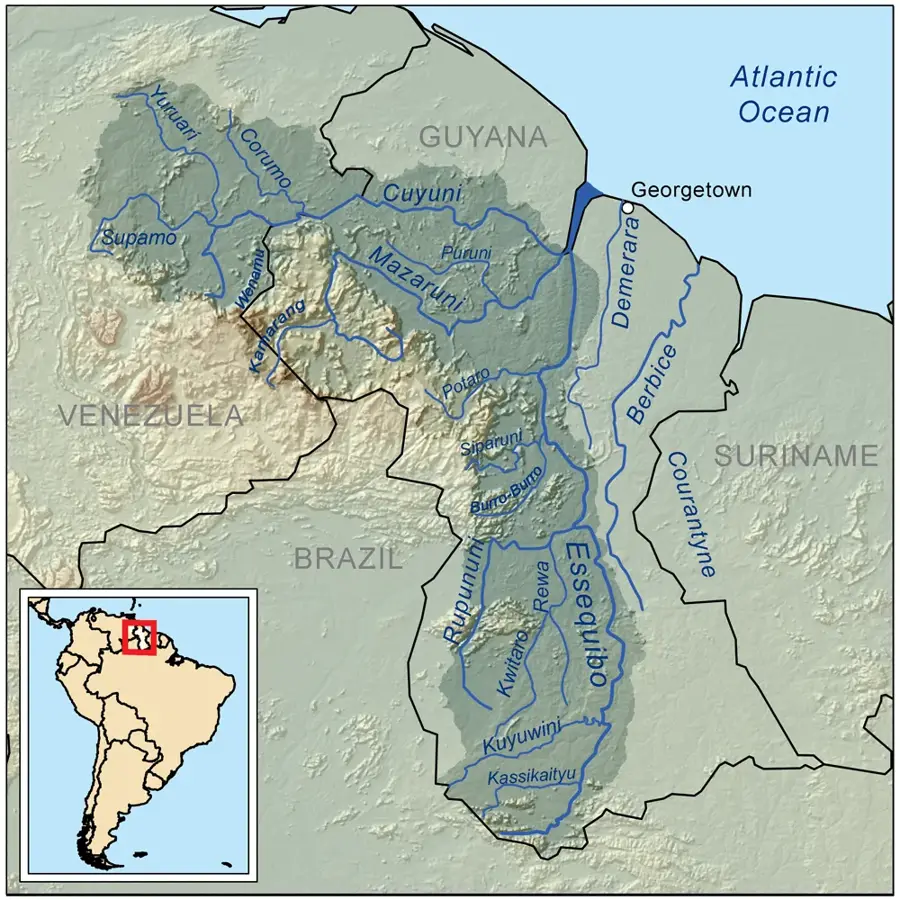
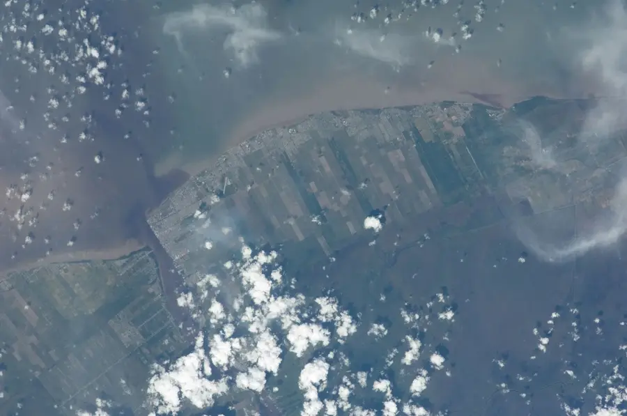
Vreed-en-Hoop, situated on the West Bank of the Demerara River directly opposite Georgetown, is the administrative capital of the Essequibo Islands-West Demerara region. Its Dutch name, meaning 'Peace and Hope,' reflects its origins as a colonial plantation site. Today, the town serves as a bustling commercial hub and the primary gateway to the West Coast Demerara area. The economic pulse of the town is sustained by the constant ferry traffic and the large daily movement of commuters to Georgetown. Vreed-en-Hoop acts as a major distribution center for goods destined for the interior of Region 3. The architecture is dense and functional, centered around markets, financial institutions, and government offices. Recently, the town has seen significant transformation due to the oil boom, with new shore bases and industrial parks being developed nearby to support offshore energy operations. Geographically, it occupies a flat coastal stretch protected by the Seawall. Vreed-en-Hoop is a social melting pot, where Georgetown's urban energy meets the industrious commercial spirit of Guyana's western coast.
- Location: Guyana
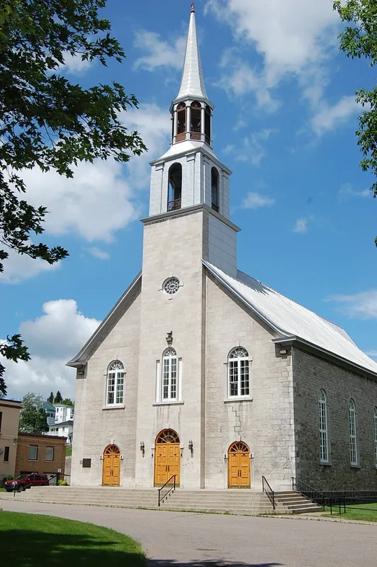
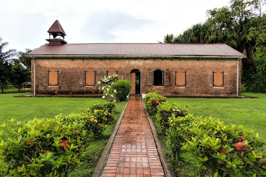
- Top sights: 125 · Crane Mandir · Wesleyan Church
- Nearby: Nismes (5 km)
- Population: ~3.073 (2025)
Best time to visit & climate
The most pleasant time to visit is Feb, Mar, Sep.
| Jan | Feb | Mar | Apr | May | Jun | Jul | Aug | Sep | Oct | Nov | Dec | |
|---|---|---|---|---|---|---|---|---|---|---|---|---|
| Avg °C | 26 | 26 | 27 | 27 | 27 | 27 | 27 | 27 | 28 | 28 | 28 | 27 |
| Rain mm | 181 | 117 | 94 | 144 | 315 | 314 | 302 | 193 | 102 | 103 | 181 | 257 |
Geography
Facts
- Vreed-en-Hoop is the busiest river transit point in Guyana for speedboats.
- The site historically hosted one of the most advanced sugar estates in the Demerara colony.
- It serves as the administrative headquarters for the regional government of Region 3.
- The Vreed-en-Hoop Shore Base is a critical piece of infrastructure for offshore oil support.
- The town features a high density of retail shops serving the West Bank population.
- Its location makes it the primary transition point between the capital and the Essequibo coast.
Explore nearby
Notable places around
Route planner — Car & Motorhome
Where do you start? We build the route here, with stops and country notes along the way.
© OpenStreetMap contributors · OpenRouteService
Sights in the town Vreed-en-Hoop (3)
Frequently asked questions
How do I cross the Demerara River to Vreed-en-Hoop?
What does the name Vreed-en-Hoop mean?
Is the Demerara Harbour Bridge nearby?
What is the commercial center of the town?
Are there banks available?
Vreed-en-Hoop: where is it located?
Vreed-en-Hoop: what is there to see?
Vreed-en-Hoop: when is the best time to visit?
Vreed-en-Hoop: why is it worth visiting?

Nearby cities


History & landmarks
More places