Plizio Visual Lab
Barima River

Weather…
Water temperature…
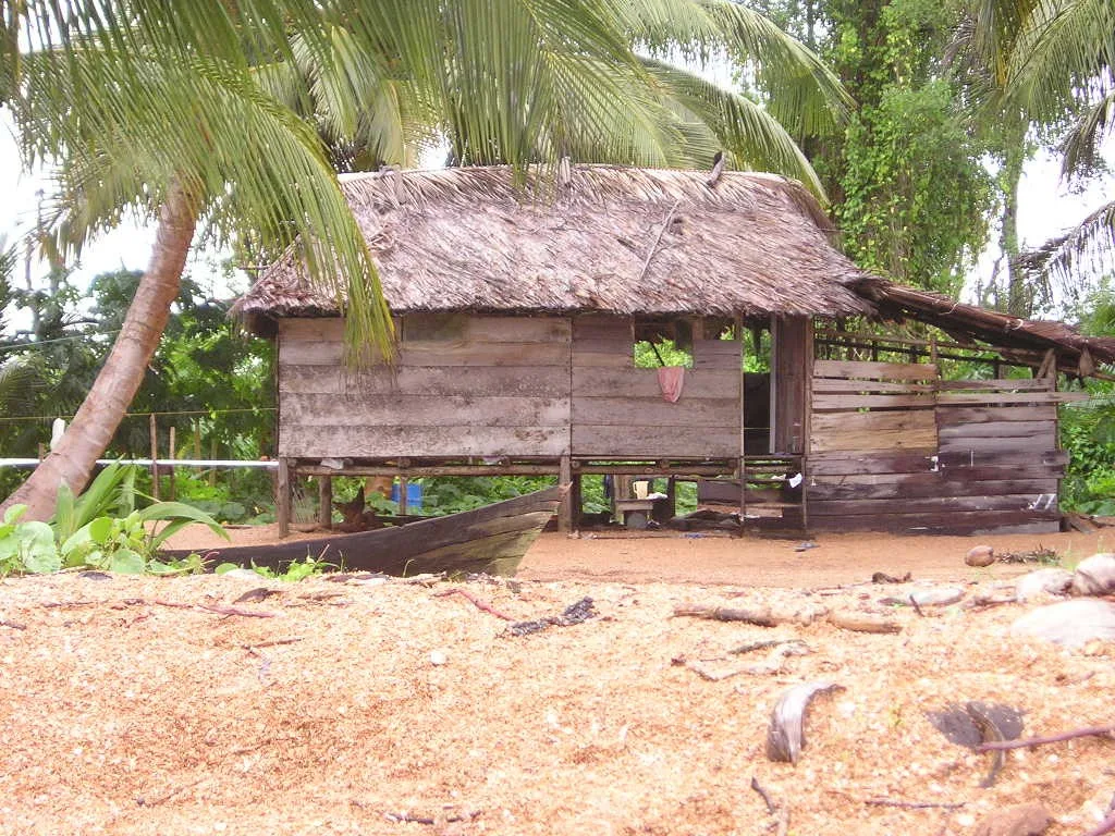
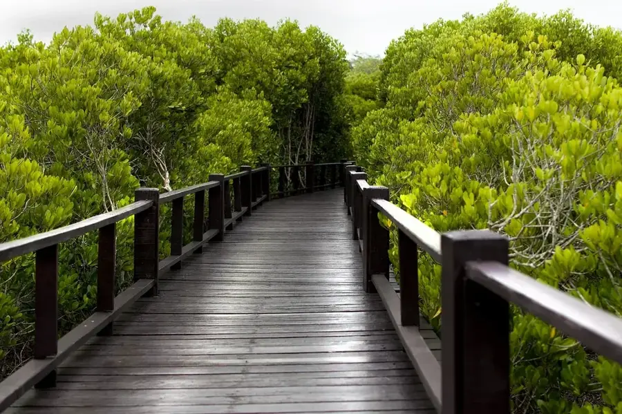
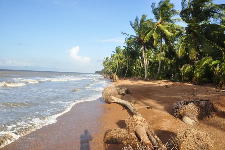
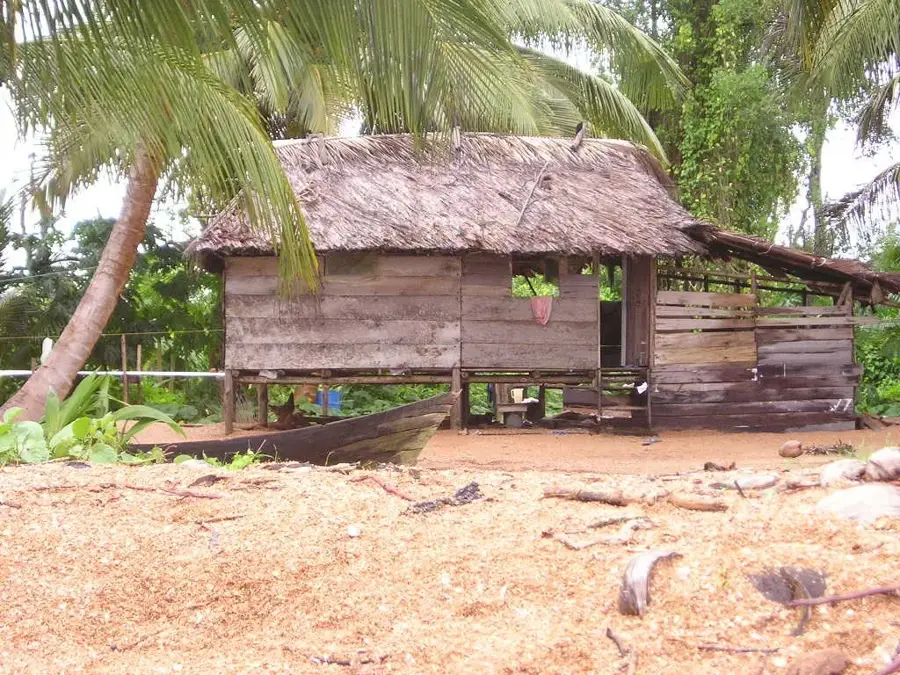
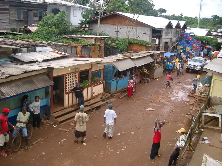
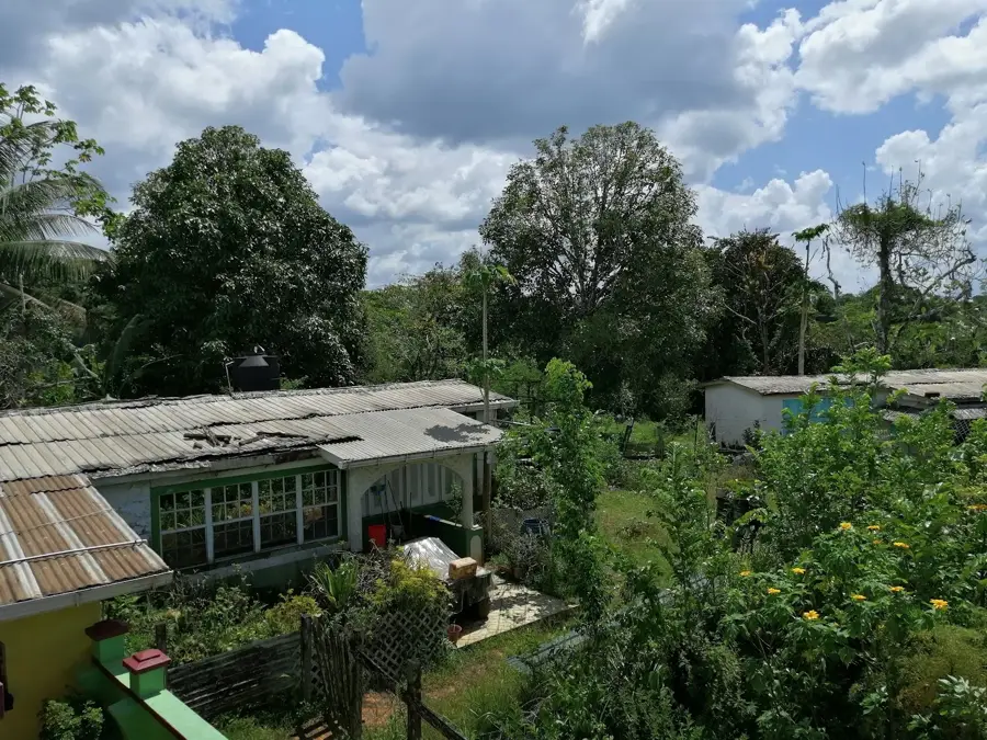
The Barima River is a vital waterway in north-western Guyana, originating in the highlands near the Venezuelan border and flowing into the Atlantic Ocean. Stretching for about 340 kilometers, the river winds through the dense swamp forests and mangroves of the Barima-Waini region, providing a crucial transport link for remote communities. Historically, the Barima has been at the center of territorial claims between Britain and Venezuela, reflecting its strategic importance as a gateway to the region's interior. The town of Morawhanna, located near its mouth, serves as a key administrative and trading post for this frontier area. The river's lower reaches are heavily influenced by Atlantic tides, which shape the local environment and dictate the schedules of river traffic. Economically, the basin supports small-scale mining and timber extraction, though it remains largely wild and undeveloped. The Barima is an important habitat for endangered species, including West Indian manatees and various river turtles, making it a priority for regional conservation. Its untouched banks continue to offer a glimpse into the pristine biodiversity of the Guiana Shield.
- Location: Guyana
- Nearby: Shell Beach (25 km)
Best time to visit & climate
The most pleasant time to visit is Feb–Apr.
| Jan | Feb | Mar | Apr | May | Jun | Jul | Aug | Sep | Oct | Nov | Dec | |
|---|---|---|---|---|---|---|---|---|---|---|---|---|
| Avg °C | 26 | 26 | 27 | 27 | 27 | 27 | 27 | 27 | 27 | 27 | 27 | 26 |
| Rain mm | 122 | 75 | 57 | 85 | 208 | 262 | 245 | 191 | 120 | 137 | 199 | 209 |
📋 Practical info
Geography
Facts
- The river has a length of approximately 340 kilometers.
- It flows into the Atlantic Ocean near the mouth of the Waini River.
- Barima is a significant area for the extraction of precious metals.
- The river basin is home to the indigenous Warrau people.
- Tidal fluctuations can affect the river level up to 80 kilometers inland.
- It is one of the few rivers in Guyana that flows almost parallel to the coast for a distance.
Explore nearby
Notable places around
Route planner — Car & Motorhome
Where do you start? We build the route here, with stops and country notes along the way.
© OpenStreetMap contributors · OpenRouteService
Sights nearby
Frequently asked questions
Where does the Barima River flow?
Is the region developed for tourism?
What communities live there?
How do you get to the Barima River?
What can you do at the Barima River?
Barima River: where is it located?
Barima River: when is the best time to visit?
Barima River: why is it worth visiting?

Nearby cities

Nature
More places