Plizio Visual Lab
Faranah Hills

Weather…
Water temperature…
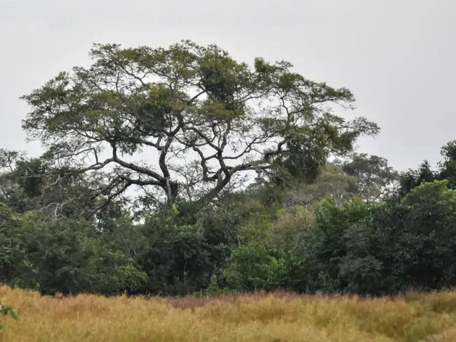
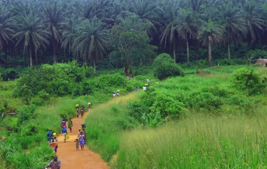
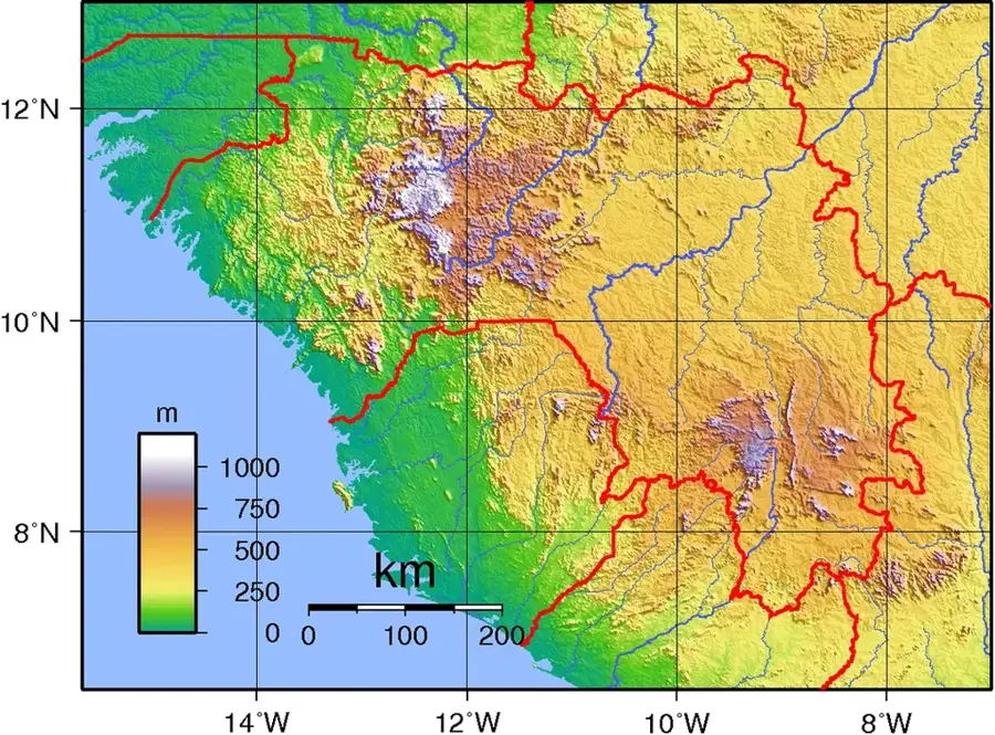
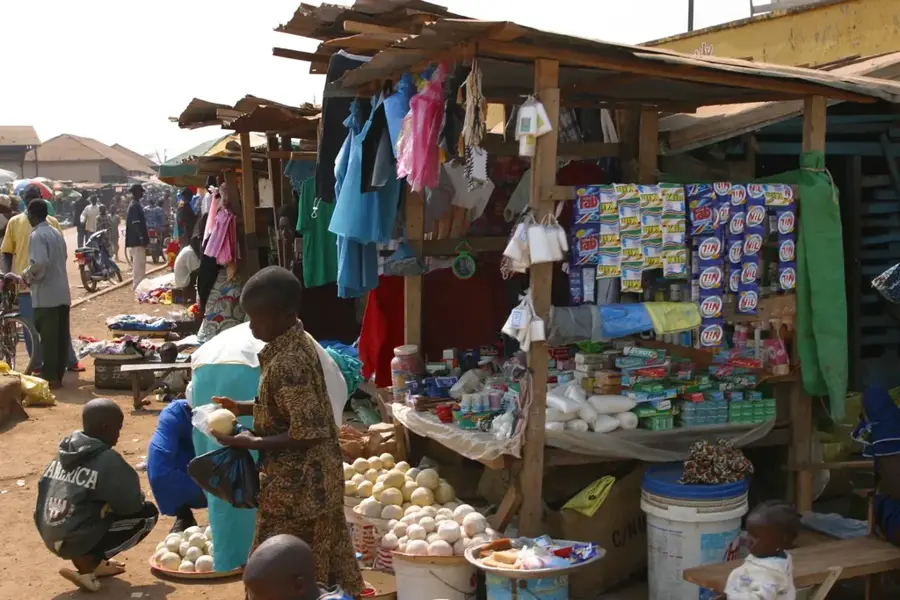
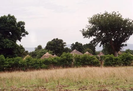
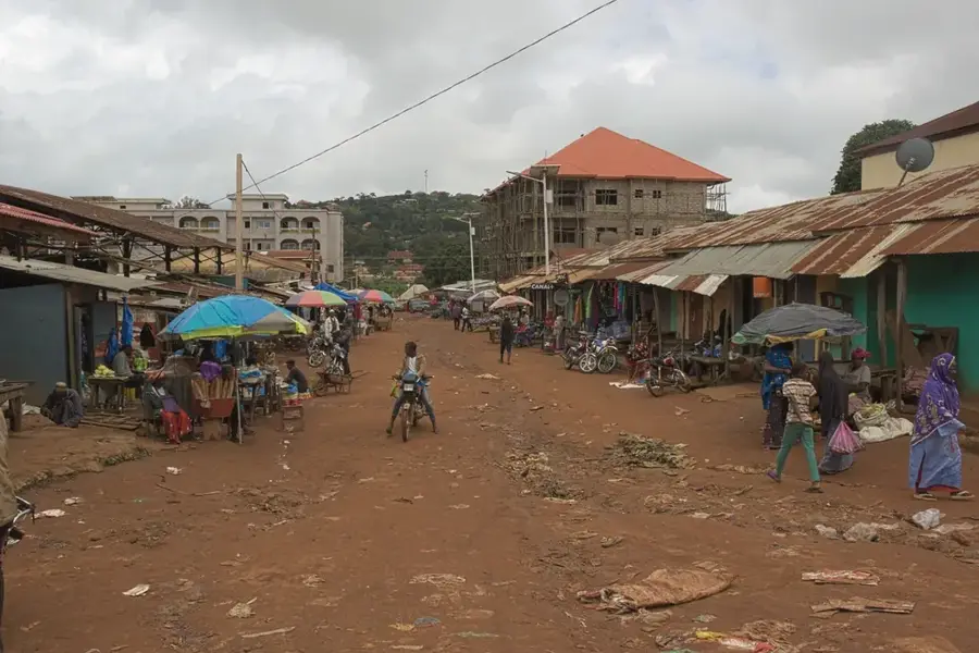
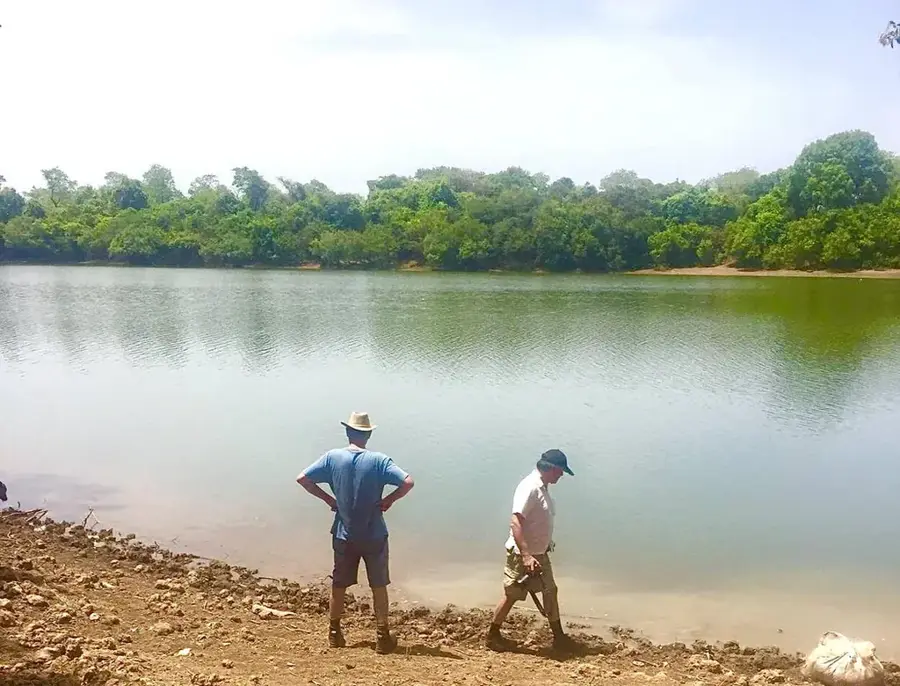
The Faranah Hills in Central Guinea form the significant watershed between the Niger Basin and the coastal rivers. The landscape is characterized by gently rolling hills consisting geologically of granites and gneisses from the ancient African shield. Amidst these hills, near Tembakounda, the mighty Niger River originates, giving the region enormous symbolic and geographical significance. The vegetation is a mix of forest savanna and dense gallery forest in the valleys. Thanks to the fertile soils and regular rainfall, the hill country is an important center for livestock farming and cultivation. The region is also known for its rich oral tradition and the cultural diversity of the ethnic groups living here. The Faranah Hills remain an original space marking the transition from the highlands to the savanna.
- Location: Guinea
- Nearby: Dalaba (70 km)
📋 Practical info
Geography
Facts
- The source of the Niger is at an elevation of about 800m.
- Faranah is the birthplace of the first president, Ahmed Sékou Touré.
- The region hosts the Haut-Niger National Park.
- The hill country is rich in volcanic residual rocks.
- Annual rainfall is between 1,500 and 2,000 mm.
- Important location for breeding Ndama cattle.
Explore nearby
Notable places around
Route planner — Car & Motorhome
Where do you start? We build the route here, with stops and country notes along the way.
© OpenStreetMap contributors · OpenRouteService
Sights in the town Faranah Hills (1)
Sights nearby
Frequently asked questions
How difficult is hiking in the Faranah hills?
When is the best time to visit?
Is there parking available?
Are there restrooms or restaurants?
What is the weather risk?
Faranah Hills: where is it located?
Faranah Hills: why is it worth visiting?

Nearby cities
Nature
More places