Plizio Visual Lab
Tristao Islands
Weather…
Water temperature…
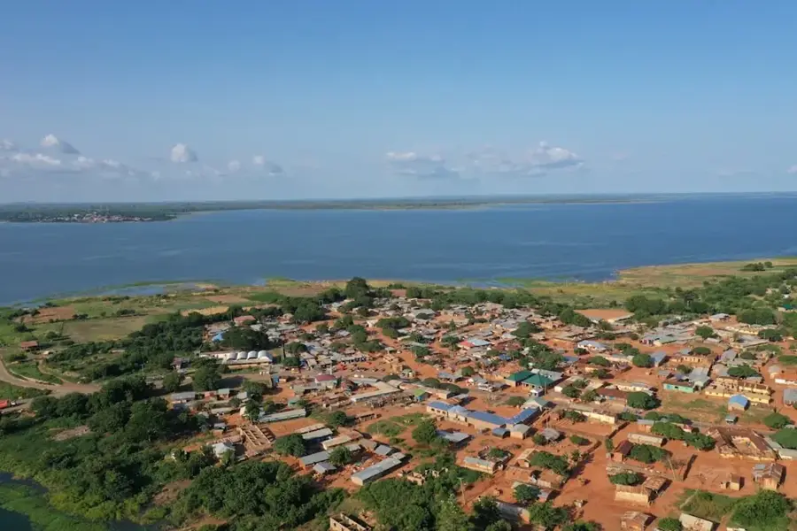
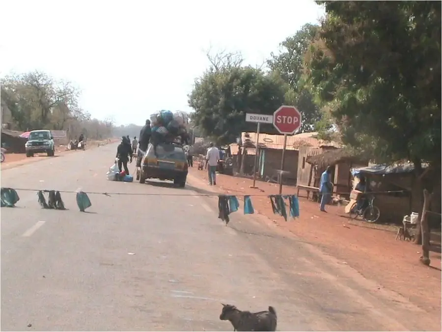
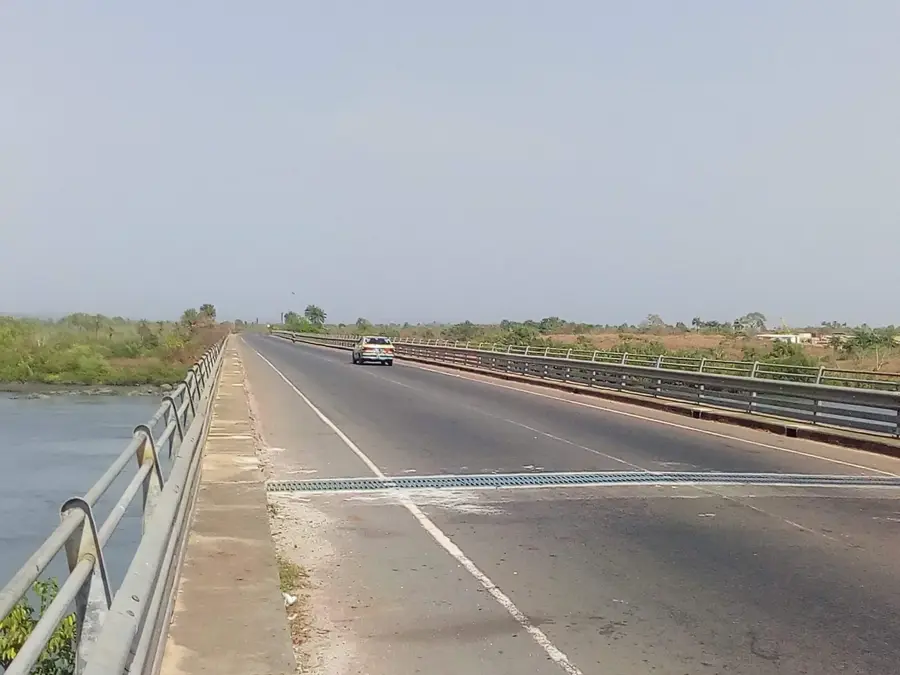
The Tristao Islands (Îles Tristao) form a remote and ecologically vital archipelago in the far northwest of Guinea, near the border with Guinea-Bissau. Geographically, the islands are situated at the mouth of the Rio Nuñez and Rio Kapachez, defined by low-lying terrain, extensive sandbars, and a complex labyrinth of tidal creeks. The archipelago is primarily renowned for its massive mangrove forests, which are among the best-preserved in West Africa and protected as a RAMSAR site of international importance. These habitats provide a critical sanctuary for endangered species, including the West African manatee, green sea turtles, and numerous migratory birds traveling along the East Atlantic Flyway. The lives of the local communities, primarily the Baga and Nalu peoples, are entirely oriented toward the archipelago's natural resources, specifically artisanal fishing and rice cultivation in tidal polders. Economically, the region remains largely underdeveloped due to its isolation, yet it holds significant potential for scientific eco-tourism. Historically, the islands served as a sanctuary for groups seeking to preserve their traditional customs from colonial and religious encroachment. For visitors, Tristao stands as one of the last pristine coastal landscapes in West Africa, where the pulse of the tides still dictates daily life.
- Location: Guinea
- Top sights: Maison des jeunes de kasmak · Maison des jeunes de kougha · Maison des jeunes de kakignini
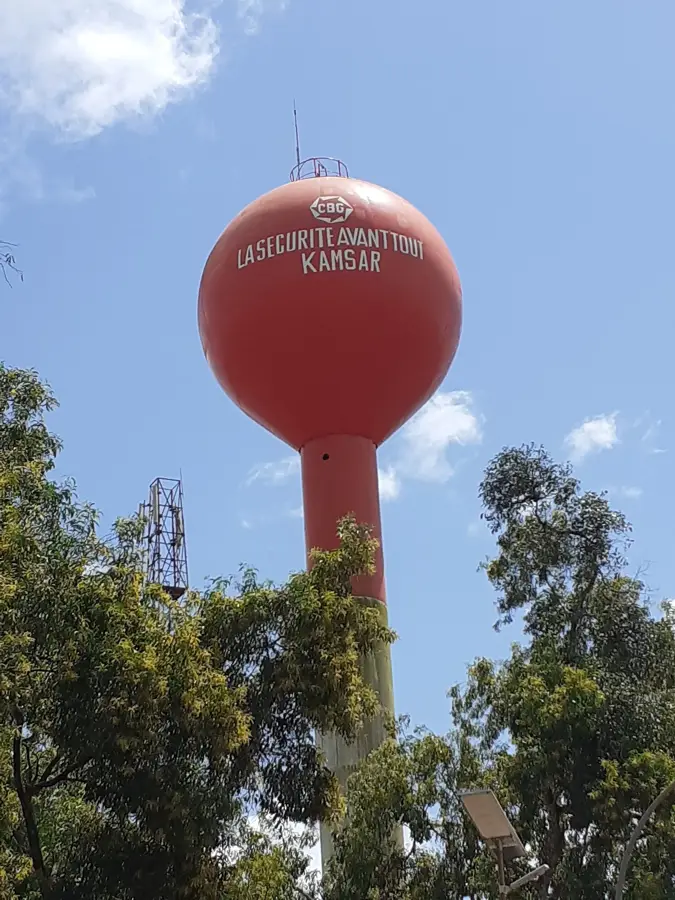
- Nearby: Kamsar (40 km)
Best time to visit & climate
The most pleasant time to visit is Jan, Feb, Dec.
| Jan | Feb | Mar | Apr | May | Jun | Jul | Aug | Sep | Oct | Nov | Dec | |
|---|---|---|---|---|---|---|---|---|---|---|---|---|
| Avg °C | 26 | 28 | 28 | 29 | 29 | 28 | 26 | 26 | 26 | 27 | 27 | 26 |
| Rain mm | 0 | 0 | 2 | 1 | 32 | 193 | 454 | 575 | 376 | 185 | 23 | 0 |
📋 Practical info
Geography
Facts
- The Tristao Islands have been a designated RAMSAR wetland since 1992.
- The archipelago is a primary sanctuary for the endangered West African manatee.
- Access to the islands is highly dependent on tidal cycles and local maritime knowledge.
- It serves as a major breeding and stopover ground for several species of terns.
- The local Baga people have engineered sophisticated polder systems for coastal rice farming.
- Tristao marks the northernmost geographic limit of Guinea's maritime territory.
Explore nearby
Notable places around
Route planner — Car & Motorhome
Where do you start? We build the route here, with stops and country notes along the way.
© OpenStreetMap contributors · OpenRouteService
Sights in the town Tristao Islands (3)
Sights nearby
Frequently asked questions
Where are the Tristao Islands located?
What animals are protected here?
How can you get there?
Is there tourist accommodation?
What culture is found on the islands?
Tristao Islands: where is it located?
Tristao Islands: what is there to see?
Tristao Islands: when is the best time to visit?
Tristao Islands: why is it worth visiting?

Nearby cities


Nature
More places