Plizio Visual Lab
Bubaque Coastal Rocks
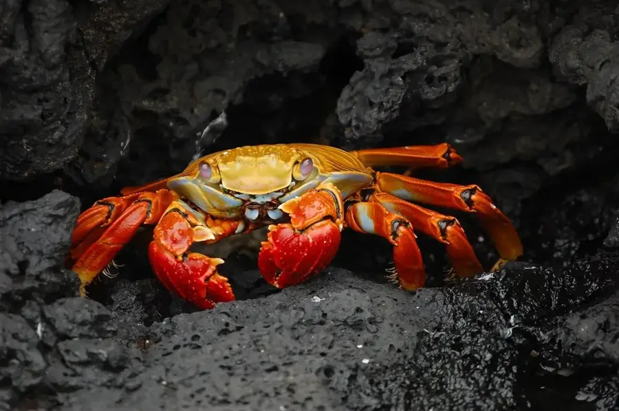
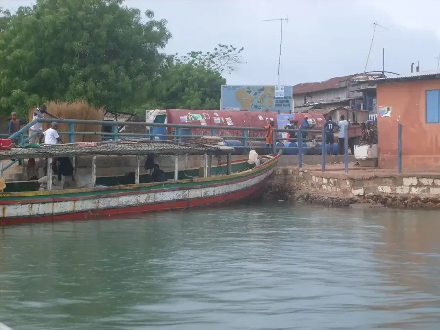
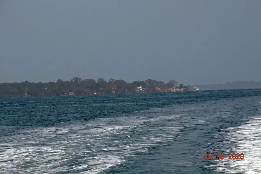
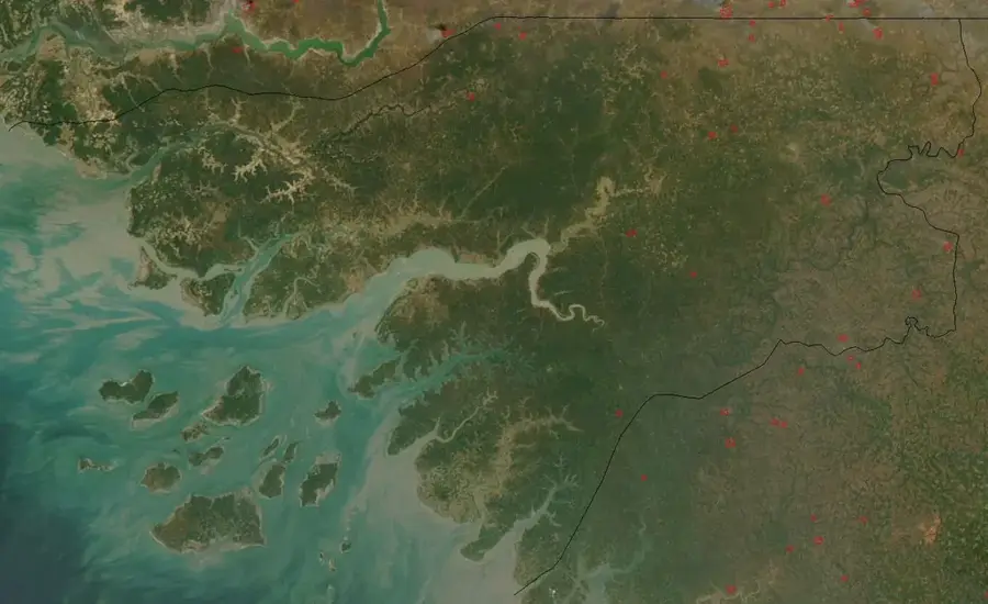
The coastal relief of Bubaque in the Bijagós Archipelago is characterized by a fascinating sequence of sandy bays and rugged laterite formations. In contrast to the muddy estuaries of the mainland, Bubaque gives a relief directly exposed to the influence of the open Atlantic. Characteristic are the red laterite rocks (Ponta) that jut into the sea as small capes, forming natural barriers against wave erosion. These rock formations are geologically ancient and feature a distinctively rugged surface that reveals numerous tide pools at low tide. Flat sandy beaches stretch between the capes, their relief constantly reshaped by seasonal currents. The coastline's topography is further defined by the significant tidal range of up to 6 meters, leading to a daily drastic change in the visible relief. This dynamic coastal zone is not only scenically spectacular but also ecologically valuable, as the rock crevices provide habitat for specialized crustaceans and mollusks. The coastal relief of Bubaque is a symbol of the maritime resilience of the islands in the archipelago.
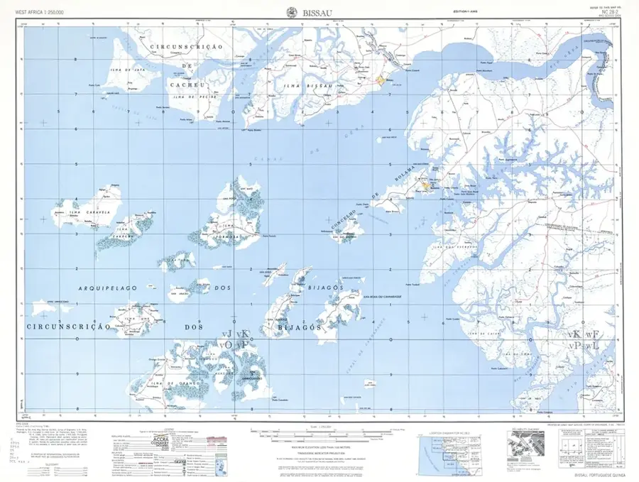
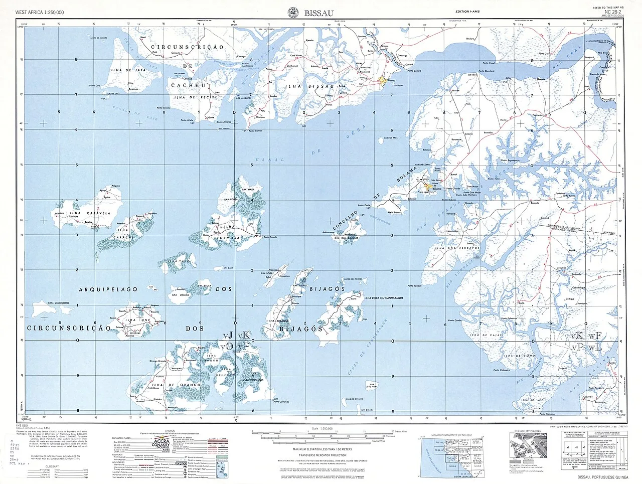
- Location: Guinea-Bissau
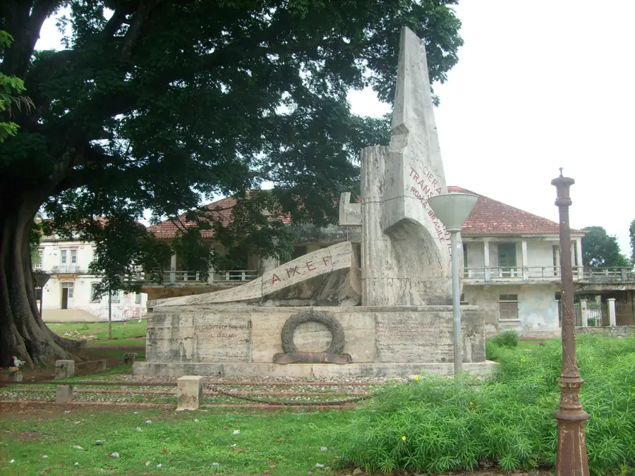
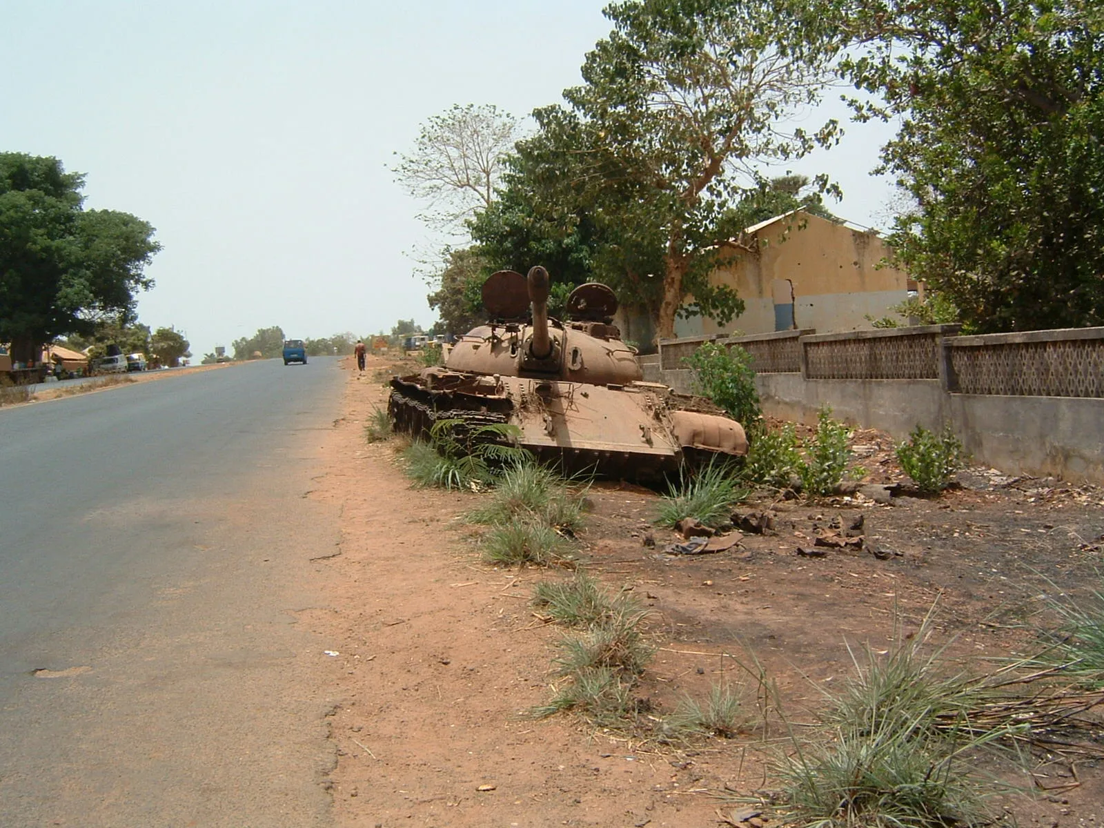
- Top sights: Ruined pier · Praia di Escadinha
- Nearby: Soga Island (7 km)
Best time to visit & climate
The most pleasant time to visit is Jan, Feb, Dec.
| Jan | Feb | Mar | Apr | May | Jun | Jul | Aug | Sep | Oct | Nov | Dec | |
|---|---|---|---|---|---|---|---|---|---|---|---|---|
| Avg °C | 25 | 25 | 26 | 26 | 27 | 27 | 27 | 27 | 27 | 28 | 28 | 26 |
| Rain mm | 1 | 0 | 3 | 1 | 10 | 122 | 410 | 521 | 359 | 189 | 13 | 0 |
📋 Practical info
Geography
Facts
- The relief exhibits the most intense wave erosion in the entire archipelago.
- The laterite capes rise steeply out of the water up to 10 meters high.
- Tide pools within the relief host a high density of endemic species.
- The sand in the bays is of volcanic origin and fine-grained.
- The topography provides natural mooring spots for small fishing boats.
- Strong ocean currents shape the relief of the offshore sandbanks.
Explore nearby
Notable places around
Route planner — Car & Motorhome
Where do you start? We build the route here, with stops and country notes along the way.
© OpenStreetMap contributors · OpenRouteService
Sights in the town Bubaque Coastal Rocks (2)
Sights nearby
Frequently asked questions
What makes the Bubaque coast so special?
Is there tourist infrastructure on Bubaque?
Can the coast be explored on foot?
How do you get to Bubaque?
Is snorkeling possible at the coastal rocks?
Bubaque Coastal Rocks: where is it located?
Bubaque Coastal Rocks: what is there to see?
Bubaque Coastal Rocks: when is the best time to visit?
Bubaque Coastal Rocks: why is it worth visiting?

Nearby cities


History & landmarks
More places