Plizio Visual Lab
Oti River
Weather…
Water temperature…
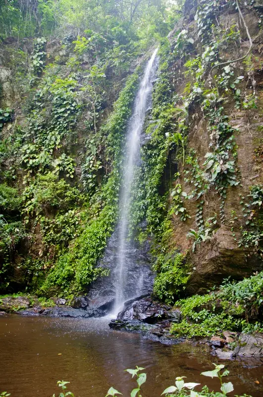
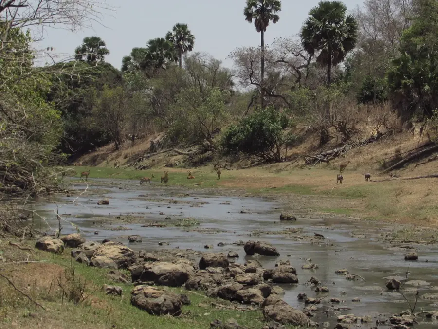
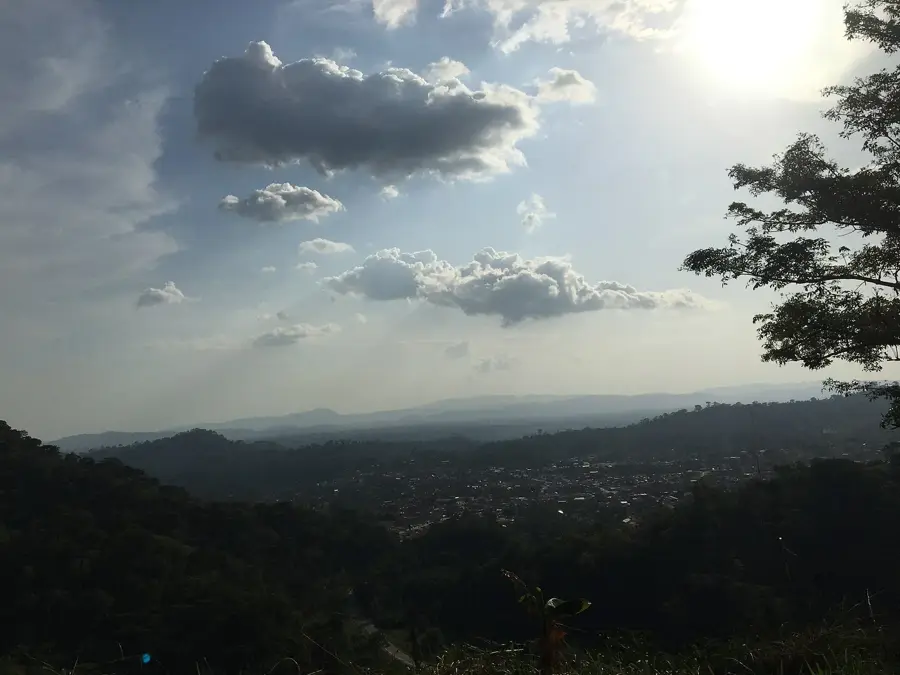
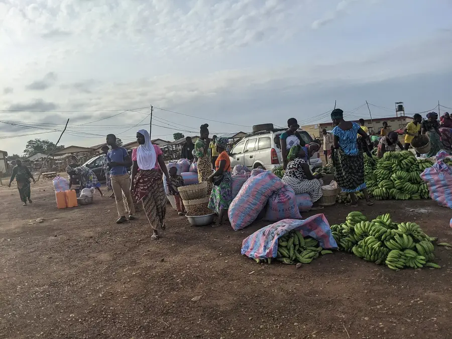
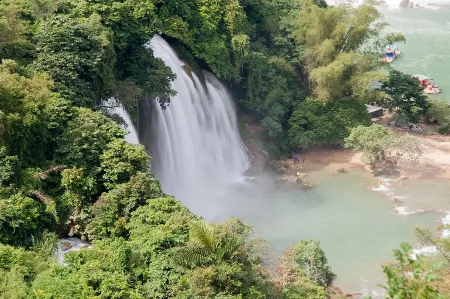
The Oti River, also known as the Pendjari, is a major tributary of the Volta River system in West Africa. It originates in the Atakora Mountains of Benin and traverses through Burkina Faso and Togo before eventually emptying into Lake Volta in Ghana. With a total length of approximately 520 kilometers, the river plays a vital role in the region's hydrology, particularly during the rainy season when its volume increases dramatically. Along its course, the Oti serves as a natural international boundary between several nations and flows through ecologically significant areas like the Pendjari National Park. The riparian zones are characterized by savanna landscapes and gallery forests, providing essential habitats for diverse wildlife, including hippopotamuses and crocodiles. For the local populations, the river is of existential importance, supporting fishing activities and irrigation in an otherwise semi-arid region. The construction of the Akosombo Dam has significantly altered the lower Oti, as it now flows directly into the backwaters of Lake Volta. Seasonal fluctuations in water levels remain a critical factor governing the daily lives and agricultural cycles of nearby rural communities.
Best time to visit & climate
The most pleasant time to visit is Jan, Nov, Dec.
| Jan | Feb | Mar | Apr | May | Jun | Jul | Aug | Sep | Oct | Nov | Dec | |
|---|---|---|---|---|---|---|---|---|---|---|---|---|
| Avg °C | 24 | 26 | 27 | 26 | 26 | 25 | 24 | 24 | 24 | 25 | 25 | 25 |
| Rain mm | 14 | 21 | 63 | 117 | 147 | 192 | 254 | 216 | 255 | 152 | 18 | 6 |
📋 Practical info
Geography
Facts
- The Oti has a total length of approximately 520 kilometers.
- It originates in the Atakora Mountains of Benin at 640 meters elevation.
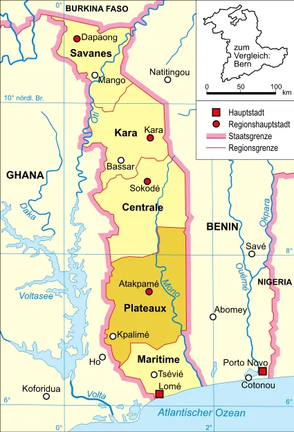
- The river forms the border between Ghana and Togo for about 100 km.
- In its upper reaches, it flows through the Pendjari National Park.
- The Oti drains a massive basin of about 72,900 square kilometers.
- It contributes approximately 30 to 40 percent of the inflow to Lake Volta.
Explore nearby
Notable places around
Route planner — Car & Motorhome
Where do you start? We build the route here, with stops and country notes along the way.
© OpenStreetMap contributors · OpenRouteService
Sights nearby
Frequently asked questions
Where is the Oti River?
Are there ferries across the Oti?
Can you see wildlife there?
What significance does it have for fishermen?
Is the river navigable?
Oti River: where is it located?
Oti River: when is the best time to visit?
Oti River: why is it worth visiting?

Nearby cities
More places