Plizio Visual Lab
Usedom
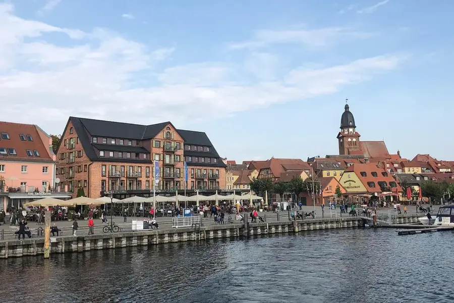
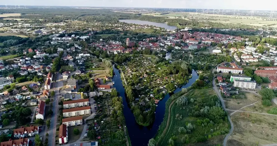
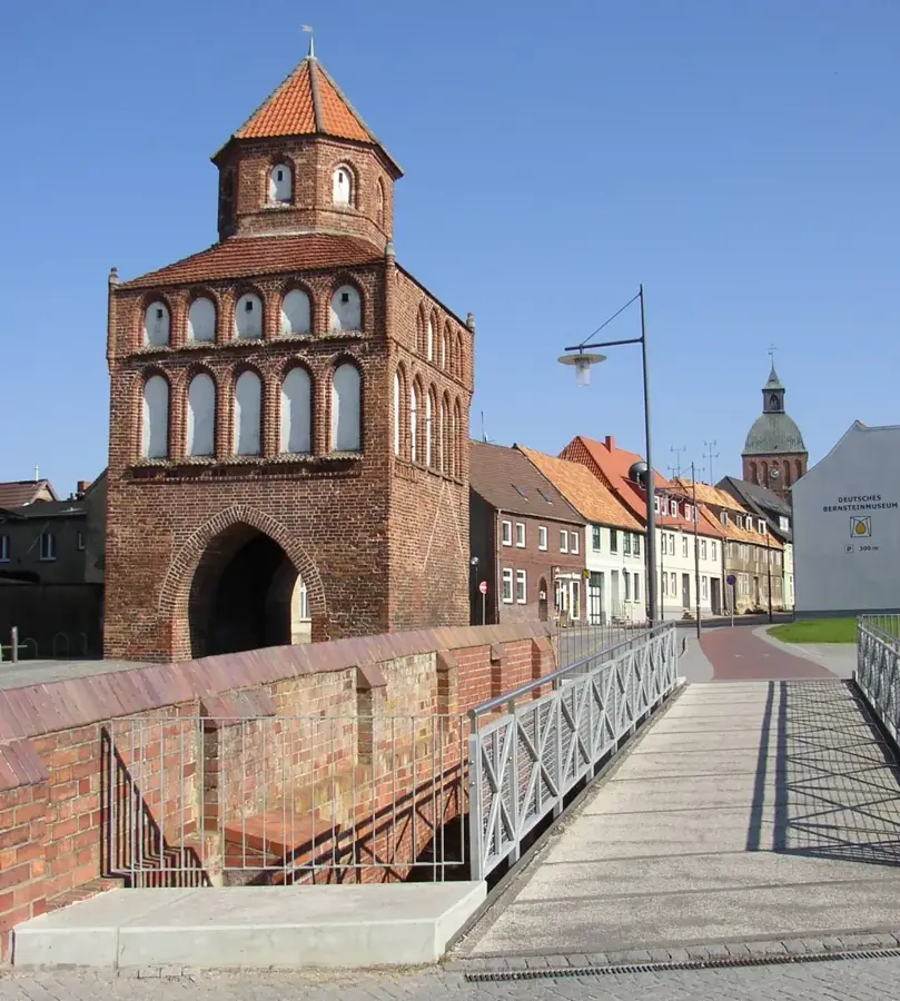
Usedom is Germany's second largest island, located in the Pomeranian Bay with its eastern portion belonging to Poland. Known as the 'Sun Island,' it consistently records the highest number of sunshine hours in the country and features a striking 40-kilometer-long fine-sand Baltic beach. The island is world-famous for the three 'Imperial Spas', Ahlbeck, Heringsdorf, and Bansin, which have preserved their grand Wilhelminian resort architecture and iconic piers from the 19th century. Historically, the island gained notoriety due to Peenemünde, where the world's first long-range missiles were developed and tested during World War II. Geographically, Usedom is separated from the mainland to the west by the Peenestrom and the Achterwasser lagoon, creating a rich landscape of coastline, lakes, and forests. Today, Usedom is a key cross-border tourist destination, connected to the Polish city of Świnoujście by Europe's longest beach promenade. The blend of elegant spa traditions, historical sites, and the pristine nature of its hinterland defines the island's unique appeal.
- Location: Mecklenburg-Western Pomerania, Germany
- Top sights: Inseln Böhmke und Werder · Mellenthiner Os · Halbinsel Cosim
- Nearby: Loddin (8 km)
Best time to visit & climate
The most pleasant time to visit is Jun–Aug.
| Jan | Feb | Mar | Apr | May | Jun | Jul | Aug | Sep | Oct | Nov | Dec | |
|---|---|---|---|---|---|---|---|---|---|---|---|---|
| Avg °C | 0 | 1 | 3 | 8 | 13 | 16 | 19 | 19 | 15 | 10 | 5 | 2 |
| Rain mm | 56 | 43 | 43 | 33 | 50 | 61 | 81 | 66 | 55 | 58 | 53 | 56 |
📋 Practical info
Geography
Facts
- Usedom has a total surface area of approximately 445 square kilometers.
- About 373 square kilometers of the island's territory are in Germany.
- The Ahlbeck pier, built in 1898, is the oldest surviving pier in Germany.
- The beach promenade between Bansin and Świnoujście is roughly 12 km long.
- The highest point on the island is the Golm hill at 69 meters.
- Usedom averages more than 1,900 hours of sunshine per year.
Explore nearby
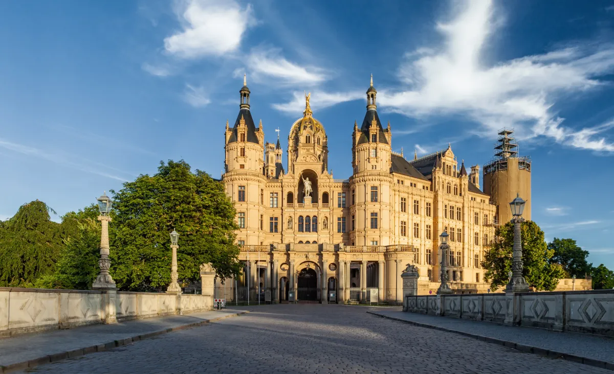
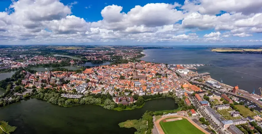
Notable places around
Route planner — Car & Motorhome
Where do you start? We build the route here, with stops and country notes along the way.
© OpenStreetMap contributors · OpenRouteService
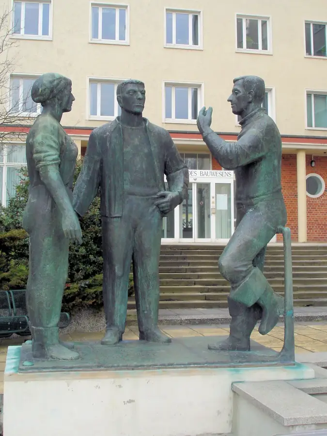
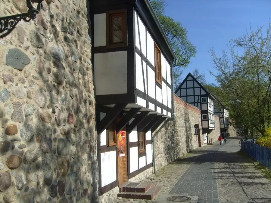
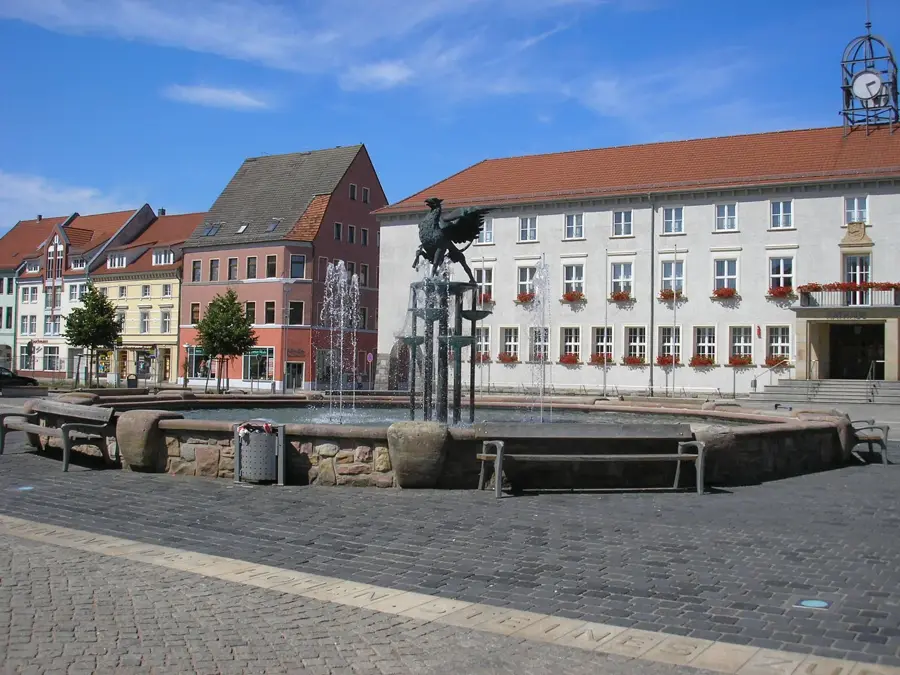
Sights in the town Usedom (8)
Sights nearby
Frequently asked questions
Is Usedom the sunniest island in Germany?
What are the Imperial Spas?
Can I travel from Usedom to Poland?
Is there a bridge to Usedom?
What can you visit in Peenemünde?
Usedom: where is it located?
Usedom: what is there to see?
Usedom: when is the best time to visit?
Usedom: why is it worth visiting?

Nearby cities