Plizio Visual Lab
Donau
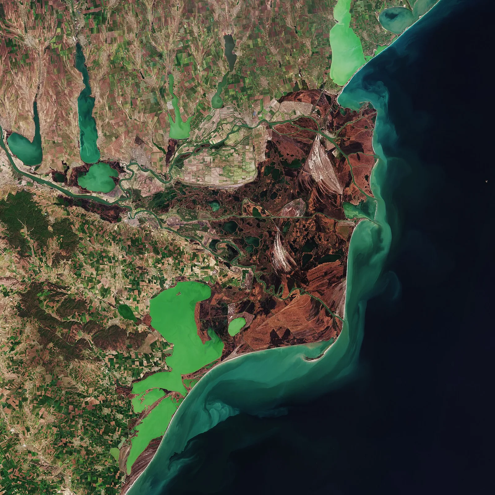
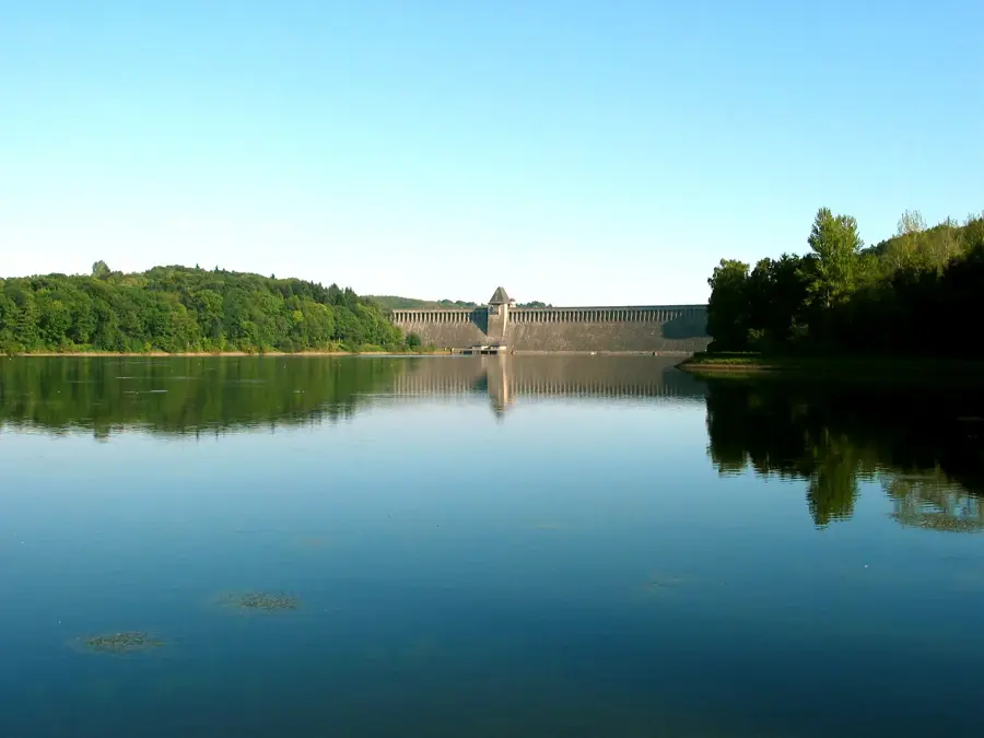
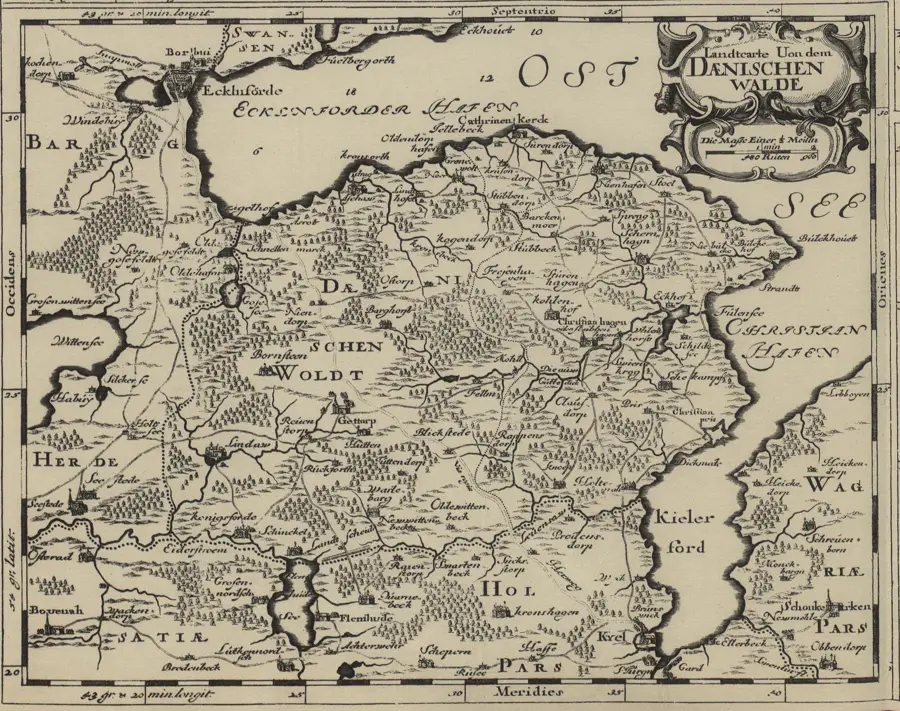
The Danube, stretching approximately 2,850 kilometers, is Europe's second-longest river and its most vital west-to-east hydrological artery. It originates in the Black Forest through the confluence of the Brigach and Breg streams at Donaueschingen, traversing ten countries on its way to the Black Sea. Its massive drainage basin covers about 801,000 square kilometers, hosting an extraordinary range of ecosystems from the Bavarian wetlands to the vast Danube Delta. Historically, the river served for centuries as the Limes, the fortified northern frontier of the Roman Empire, and was later the stage for power struggles between the Habsburg and Ottoman Empires. Today, the Danube is a strategic international waterway that, via the Main-Danube Canal, provides a direct link between the North Sea and the Black Sea. Economically, it is indispensable for energy production through numerous hydroelectric plants and for tourism in major capitals like Vienna, Budapest, and Belgrade. The Danube Delta has been a UNESCO World Natural Heritage site since 1991 and remains one of the world's premier bird sanctuaries.
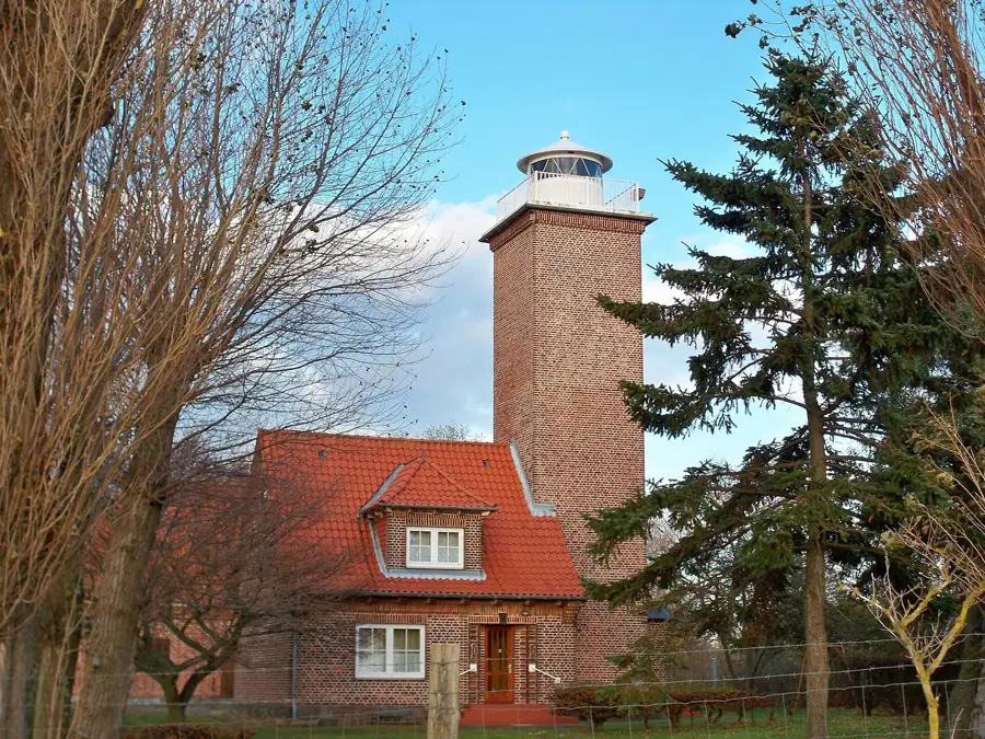
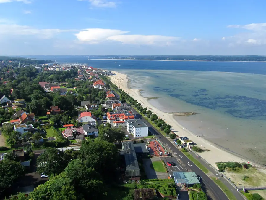
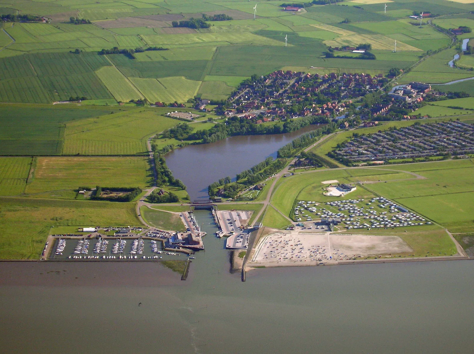
- Location: Germany
- Top sights: Erlebnisstation Geologie · Donaualtwasser Staatshaufen · Infohaus Isarmündung
- Nearby: Deggendorf (7 km)
Best time to visit & climate
The most pleasant time to visit is Jun–Aug.
| Jan | Feb | Mar | Apr | May | Jun | Jul | Aug | Sep | Oct | Nov | Dec | |
|---|---|---|---|---|---|---|---|---|---|---|---|---|
| Avg °C | -3 | -2 | 3 | 8 | 12 | 16 | 18 | 18 | 13 | 8 | 3 | -1 |
| Rain mm | 78 | 58 | 64 | 49 | 89 | 99 | 97 | 100 | 68 | 64 | 63 | 73 |
📋 Practical info
Geography
Facts
- Length: 2,850 kilometers from Donaueschingen to the Black Sea.
- Nations: The Danube flows through or borders 10 different countries.
- Basin Area: The river's hydrological basin covers 801,463 km².
- Elevation Change: The source is at 678 m, while the mouth is at sea level.
- Navigation: The Main-Danube Canal has connected the basins since 1992.
- Capitals: Vienna, Bratislava, Budapest, and Belgrade are located on its banks.
Explore nearby
Notable places around
Route planner — Car & Motorhome
Where do you start? We build the route here, with stops and country notes along the way.
© OpenStreetMap contributors · OpenRouteService
Sights in the town Donau (5)
Ausstellung "Kraft im Fluss"
Exhibition on hydropower and river dynamics, showing historical and modern use of the Danube.
Sights nearby
Frequently asked questions
Where does the Danube begin?
How many countries does the Danube flow through?
What is the Danube Cycle Path?
Are there river cruises on the Danube?
What is the Danube Sinkhole?
Donau: where is it located?
Donau: what is there to see?
Donau: when is the best time to visit?
Donau: why is it worth visiting?

Nearby cities