Plizio Visual Lab
Likhi Range
Weather…
Water temperature…
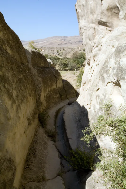
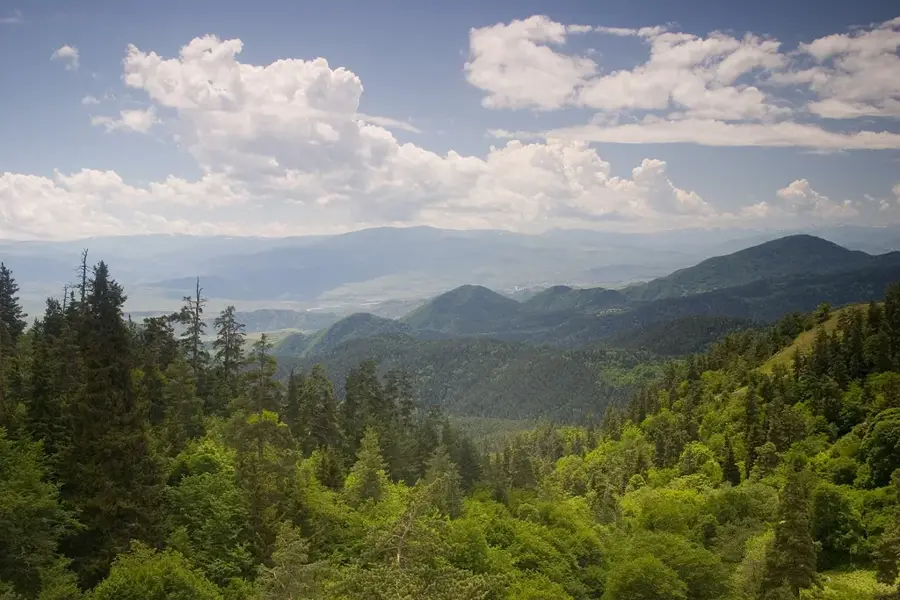
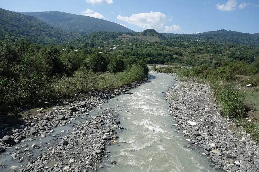
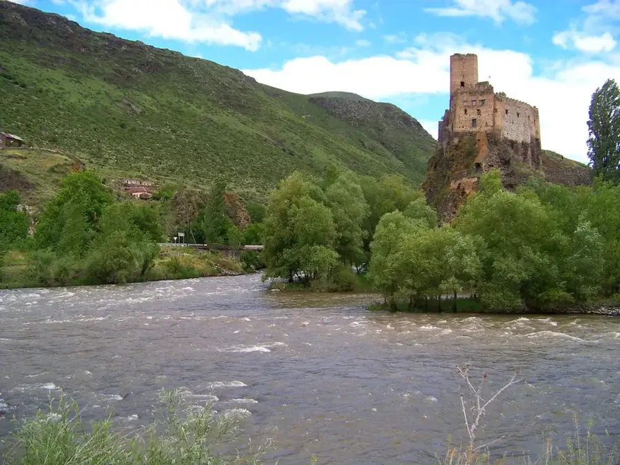
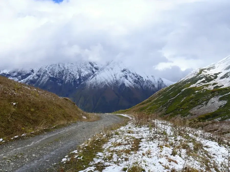
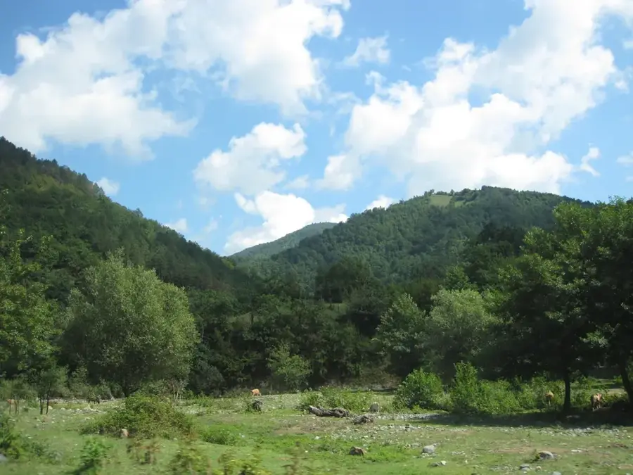
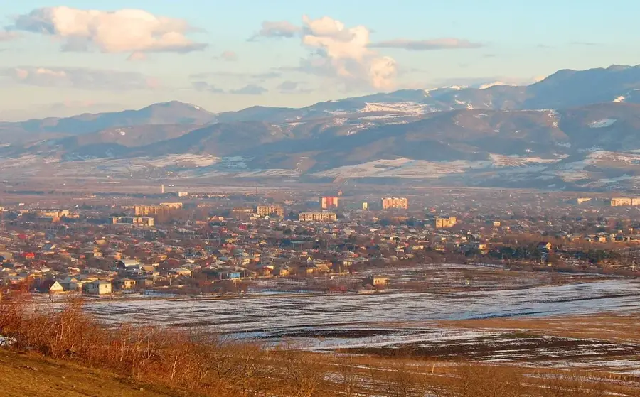
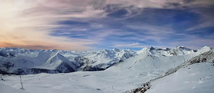
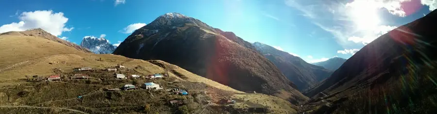
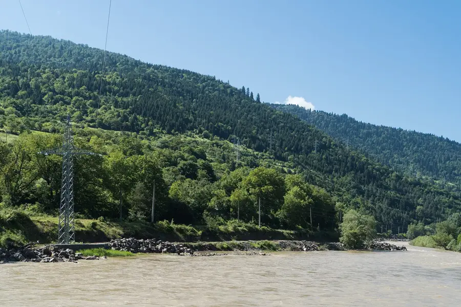
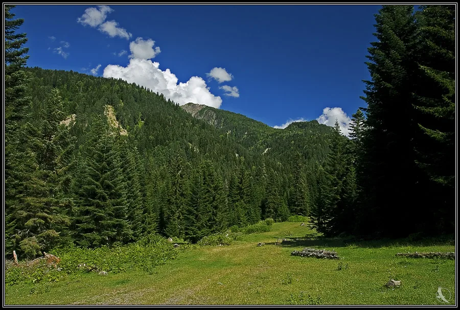
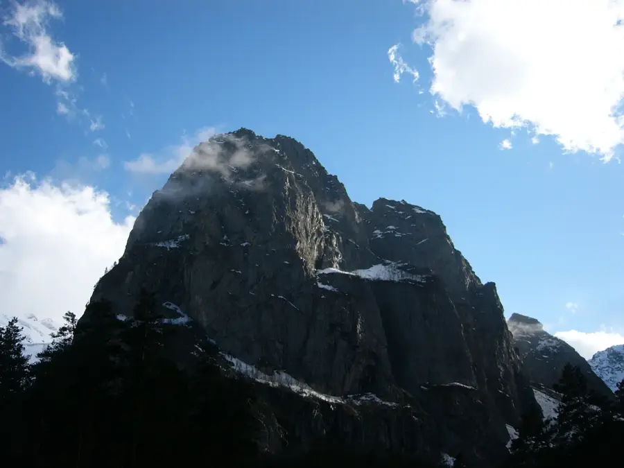
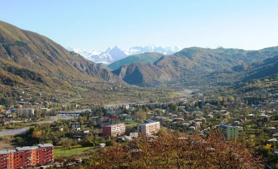
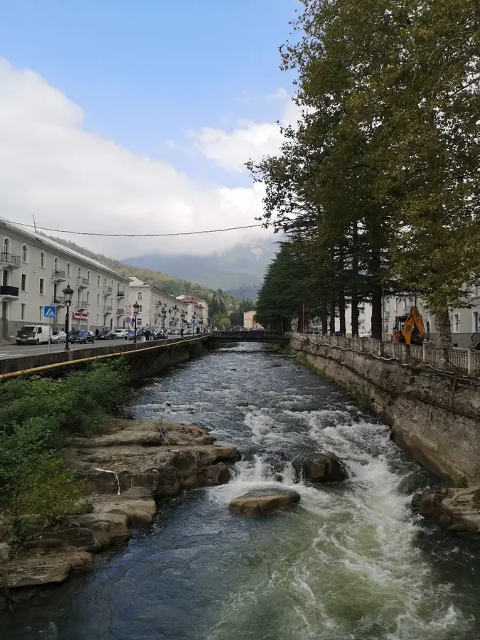
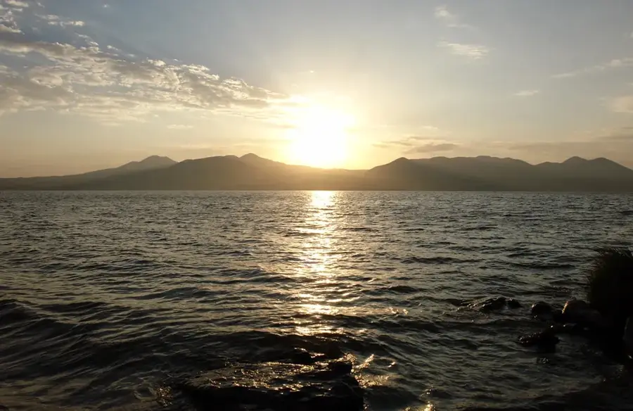
The Likhi Range is a strategically and geographically vital mountain range in Georgia, serving as the bridge between the Greater and Lesser Caucasus mountains. It forms the primary watershed between the Black Sea and Caspian Sea basins and physically divides the country into Western Georgia (Colchis) and Eastern Georgia (Iberia). Reaching a maximum elevation of 1926 meters at Mount Ribisa, the range is not as high as the main Caucasus chains but plays a critical role in the country's climate by obstructing moist air masses from the west. Geologically, the range is composed mostly of crystalline rocks and sedimentary deposits. One of Georgia's most essential transport arteries, the Rikoti Pass, cuts through the Likhi Range, linking the two halves of the nation. The slopes are densely forested with deciduous and mixed woodlands, supporting high levels of biodiversity. Historically, the range often served as a natural defensive line and a frontier between various Georgian principalities. Today, it is a popular area for trekking, offering unique insights into the distinct landscapes of both eastern and western Georgia.
- Location: Georgia
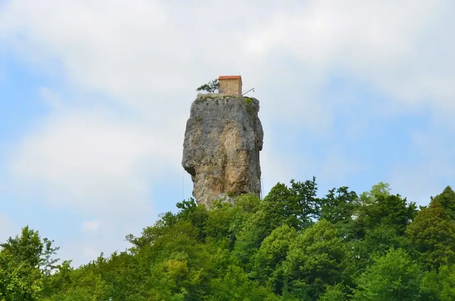
- Top sights: giganturi adamianis p`exis kvali · Barbatsminda · naeklesiari (choshoras cm. giorgis eklesia) (nangrevebi)
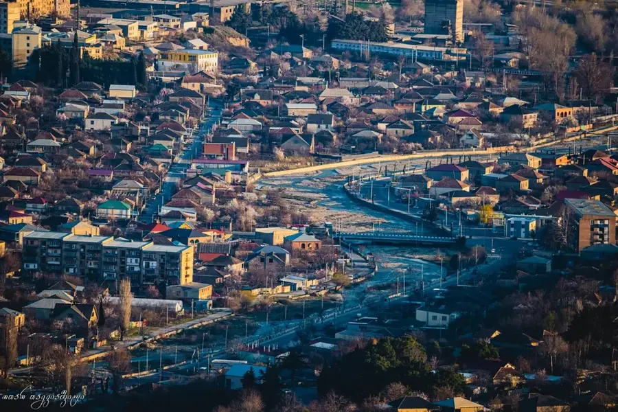
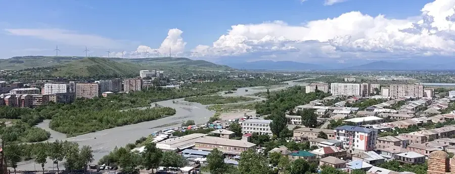
- Nearby: Khashuri (14 km)
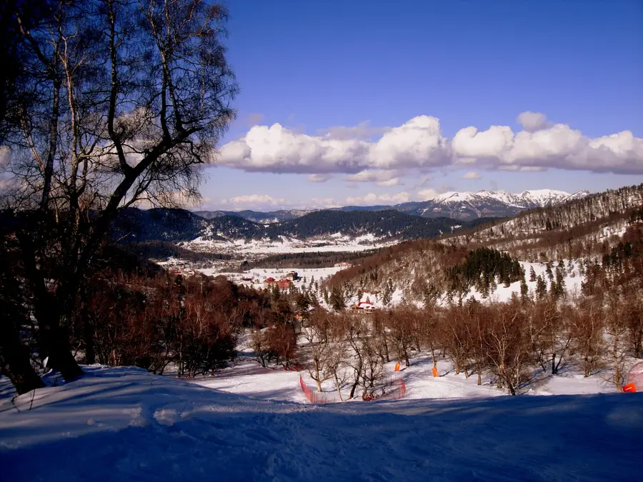
Best time to visit & climate
The most pleasant time to visit is Jun–Aug.
| Jan | Feb | Mar | Apr | May | Jun | Jul | Aug | Sep | Oct | Nov | Dec | |
|---|---|---|---|---|---|---|---|---|---|---|---|---|
| Avg °C | -2 | 0 | 4 | 8 | 14 | 19 | 22 | 22 | 17 | 12 | 5 | 0 |
| Rain mm | 46 | 36 | 54 | 57 | 69 | 64 | 45 | 43 | 49 | 57 | 52 | 46 |
📋 Practical info
Geography
Facts
- The Likhi Range connects the Greater and Lesser Caucasus.
- The highest peak is Mount Ribisa at 1926 meters.
- It divides Georgia into western and eastern climatic zones.
- The critical Rikoti Tunnel passes through this range.
- The range is the watershed between the Rioni and Kura rivers.
- Geologically, it is part of the Transcaucasian Massif.
Explore nearby
Notable places around
Route planner — Car & Motorhome
Where do you start? We build the route here, with stops and country notes along the way.
© OpenStreetMap contributors · OpenRouteService
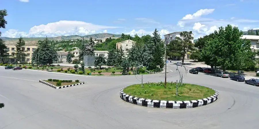
Sights in the town Likhi Range (4)
Sights nearby
Frequently asked questions
What is the Likhi Range?
How does the range affect the climate?
Which important pass crosses the Likhi Range?
Are there hiking opportunities?
How high are the peaks of the Likhi Range?
Likhi Range: where is it located?
Likhi Range: what is there to see?
Likhi Range: when is the best time to visit?
Likhi Range: why is it worth visiting?

Nearby cities
History & landmarks
Nature
More places