Plizio Visual Lab
Mayombe Mountains
Weather…
Water temperature…
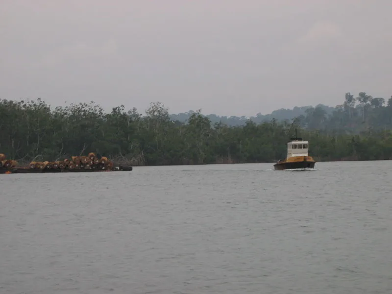
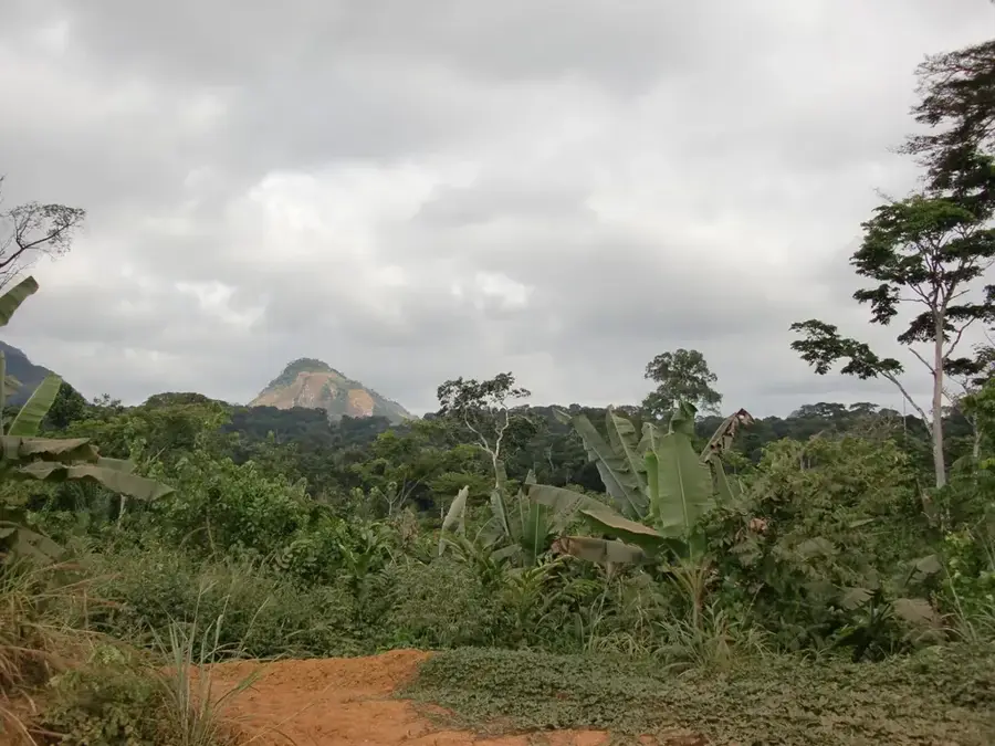
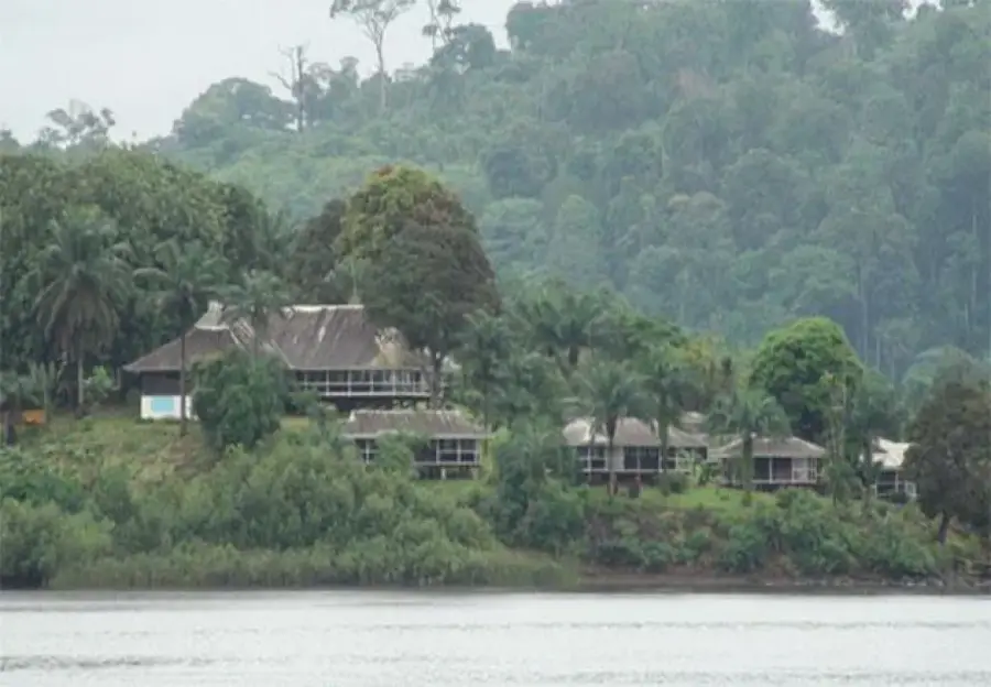
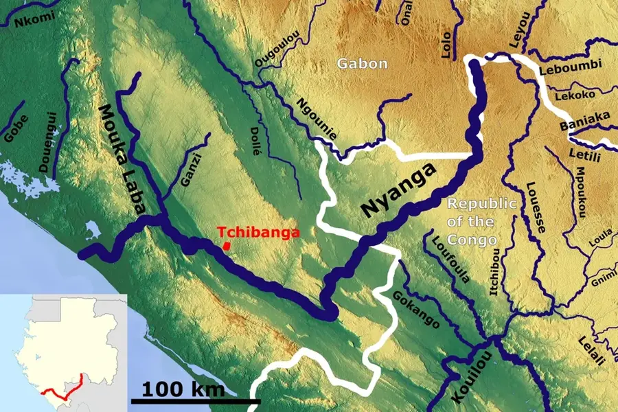
The Mayombe Mountains form an impressive geographical formation stretching along the West African coast. This mountain range, which runs through the Democratic Republic of the Congo, Angola, the Republic of the Congo, and southwestern Gabon, consists predominantly of Precambrian metamorphic rocks. With an average elevation of about 600 to 800 meters, they represent a prominent relief that serves as a barrier to moist air masses from the Atlantic. This leads to extremely high rainfall amounts, often exceeding 2,000 millimeters per year, which has enabled the creation of one of the densest and most biodiverse rainforests in the world. Historically, the mountains were difficult to access and served local communities as a place of refuge as well as a natural border between coastal peoples and interior kingdoms. Today, the region is a focus of international conservation projects, as it provides critical habitat for endangered primates such as the western lowland gorilla. Despite the challenging topography, the area is known for its forestry resources and significant mineral deposits, requiring a constant balance between economic use and ecological protection.
- Location: Gabon
- Nearby: Moulengui-Binza (36 km)
Best time to visit & climate
The most pleasant time to visit is Jun–Aug.
| Jan | Feb | Mar | Apr | May | Jun | Jul | Aug | Sep | Oct | Nov | Dec | |
|---|---|---|---|---|---|---|---|---|---|---|---|---|
| Avg °C | 25 | 26 | 26 | 26 | 25 | 23 | 23 | 23 | 25 | 25 | 25 | 25 |
| Rain mm | 172 | 141 | 162 | 137 | 88 | 4 | 1 | 3 | 28 | 146 | 230 | 184 |
📋 Practical info
Geography
Facts
- The mountain range extends over a total length of approximately 550 kilometers.
- The highest elevations in the range reach about 830 meters above sea level.
- The region records annual rainfall amounts between 1,200 and 2,000 mm.
- The rock consists mainly of granite, gneiss, and schist from the Proterozoic era.
- The mountains house the Luki Biosphere Reserve in the DR Congo.
- Major rivers such as the Kouilou-Niari originate in or flow through this range.
Explore nearby
Notable places around
Route planner — Car & Motorhome
Where do you start? We build the route here, with stops and country notes along the way.
© OpenStreetMap contributors · OpenRouteService
Sights nearby
Frequently asked questions
What is the Mayombe range?
What flora awaits visitors?
Are there wild animals there?
What is the climate like in the Mayombe range?
Can you go hiking in the region?
Mayombe Mountains: where is it located?
Mayombe Mountains: when is the best time to visit?
Mayombe Mountains: why is it worth visiting?

Nearby cities
Nature
More places