Plizio Visual Lab
Port of Papeete
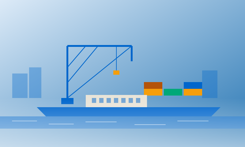
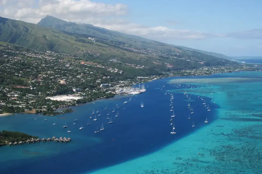
The Port of Papeete on the island of Tahiti is the logistical and economic gateway to French Polynesia. Established in the early 19th century within a sheltered lagoon, it has since evolved into the primary hub for international maritime trade. Much of the port's infrastructure is concentrated on the artificial island of Motu Uta, which is linked to the mainland by a causeway and hosts modern container terminals. The port is indispensable for supplying the territory's 118 islands with food, fuel, and consumer goods. Beyond cargo operations, it plays a vital role in the tourism sector, serving as the main terminal for international cruise ships and the departure point for inter-island ferries to Moorea and the Leeward Islands. With wharfage extending over 500 meters and ongoing modernization efforts, the port ensures that the remote archipelagos remain connected to global trade routes while supporting the region's domestic growth.
Explore on the map
How well do you know French Polynesia?
Find cities, landscapes and regions in 10 varied challenges on the interactive map.
Your journey, your memory
A postcard from Port of Papeete
Turn your own photo into a personal postcard with a local stamp. Free and no sign-up required.
Create a postcard- Location: French Polynesia
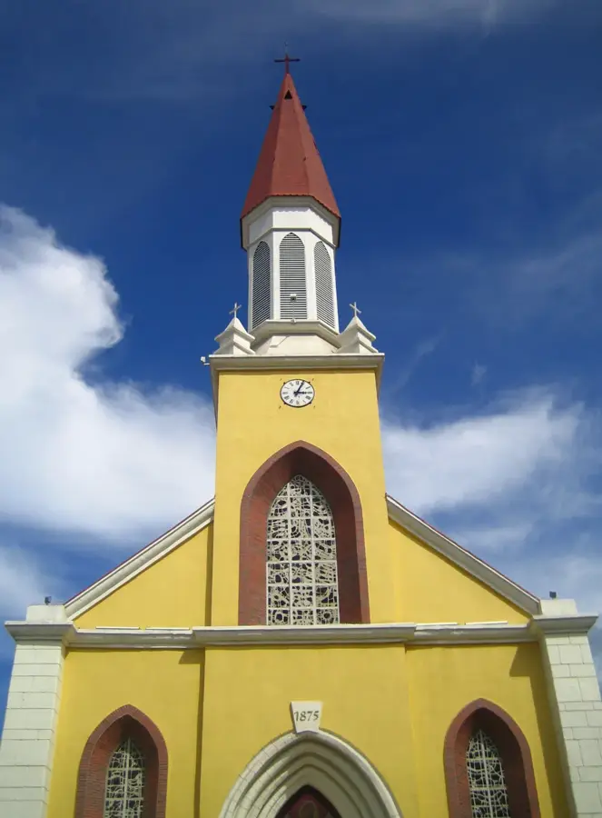
- Highlights: Temple de l'Église Sanito Rautahi · Place de l'Autonomie · Galerie Winkler
- Nearby: Arue (7 km)
Best time to visit & climate
The most pleasant time to visit is Jul–Sep.
| Jan | Feb | Mar | Apr | May | Jun | Jul | Aug | Sep | Oct | Nov | Dec | |
|---|---|---|---|---|---|---|---|---|---|---|---|---|
| Avg °C | 27 | 27 | 27 | 27 | 27 | 26 | 25 | 25 | 25 | 26 | 26 | 27 |
| Rain mm | 190 | 175 | 134 | 116 | 90 | 69 | 52 | 47 | 40 | 84 | 113 | 221 |
📋 Practical info
Geography
Facts
- The Port of Papeete has a quay length of 1,200 meters.
- Annual cargo volume exceeds 1.5 million tons.
- The port employs around 500 people.
- Water depth in the harbor basin is up to 12 meters.
- There are berths for up to 4 cruise ships simultaneously.
- The port was expanded in 1960.
Explore nearby
Notable places around
Route planner — Car & Motorhome
Where do you start? We build the route here, with stops and country notes along the way.
© OpenStreetMap contributors · OpenRouteService
Sights in the town Port of Papeete (10)
Chapelle de l'Église de J-C des St des derniers jo
The Chapelle de l'Église de J-C des St des derniers jo is located near the Port of Papeete and is worth visiting for its local features.
Cathédrale Notre-Dame de Papeete
The Cathédrale Notre-Dame de Papeete is located in the Port of Papeete and is listed as a sight with that place name.
Synagogue Ahava Ve Ahva
The Synagogue Ahava Ve Ahva is located in the Port of Papeete and is listed there as a sight under that name.
Temple chinois Kanti
The Temple chinois Kanti is located in the Port of Papeete and is recorded as a sight under that place name.
Papeete Tahiti Temple
The Papeete Tahiti Temple is located in the Port of Papeete and is listed there as a sight with that name.
Plage Hokule'a
The Plage Hokule'a is located in the Port of Papeete and is identified as a sight under that place name.
Temple Etaretia Teretetiano
The Temple Etaretia Teretetiano is located in the Port of Papeete and is listed there as a sight under that name.
Sights nearby
Frequently asked questions
What is the role of the port of Papeete?
Is the port accessible to visitors?
What is near the port?
When is the best time to visit?
Are there guided tours?
Port of Papeete: where is it located?
Port of Papeete: what is there to see?
Port of Papeete: when is the best time to visit?
Port of Papeete: why is it worth visiting?

Nearby cities


History & landmarks
More places