Plizio Visual Lab
Pierrelaye
ℹ️Practical info — Pierrelaye
▾
🌤 Weather — 5 days
📍 Nearby
Sights nearby
💡 Tips
- Explore the remnants of its agricultural past by walking along the historical farming plots on the town's edge.
- For exploring the wider region, use the Transilien or RER lines directly from Pierrelaye station; it's much faster than driving to Paris.
- Don't miss the local bakery on the main street early in the morning for the freshest baguettes and croissants.
- Keep an eye on local community boards for seasonal farmers' markets celebrating regional produce.
🍽 Food
Visit a local boulangerie in the town center in the early morning.
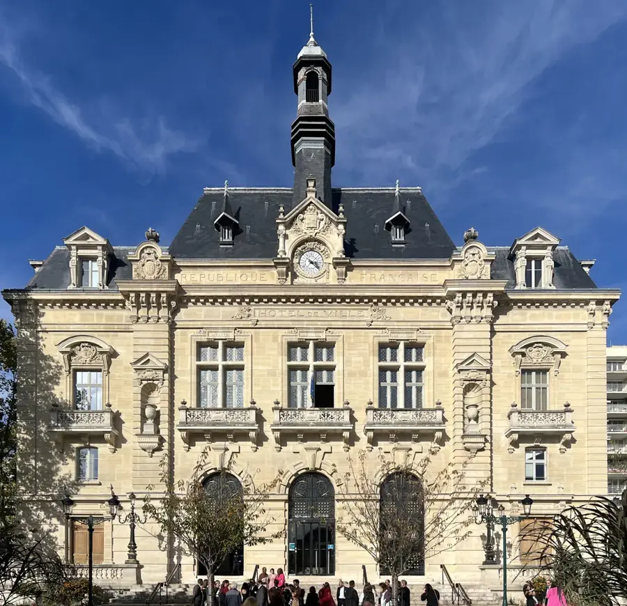
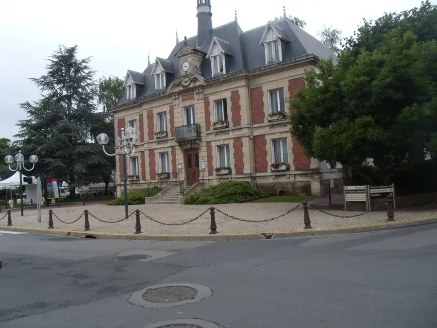
Try the neighborhood patisseries near the town hall.
Look for a cozy brasserie on the main road for a traditional plat du jour.
🛍 Shopping · 🧘 Quiet spots
Check the weekly open-air market for fresh regional produce and cheeses.
Browse the small independent shops scattered along the central avenue.
A great open area for a peaceful afternoon walk or a quick jog.
Walk towards the outskirts where the suburban areas meet small forested patches.
Water temperature…
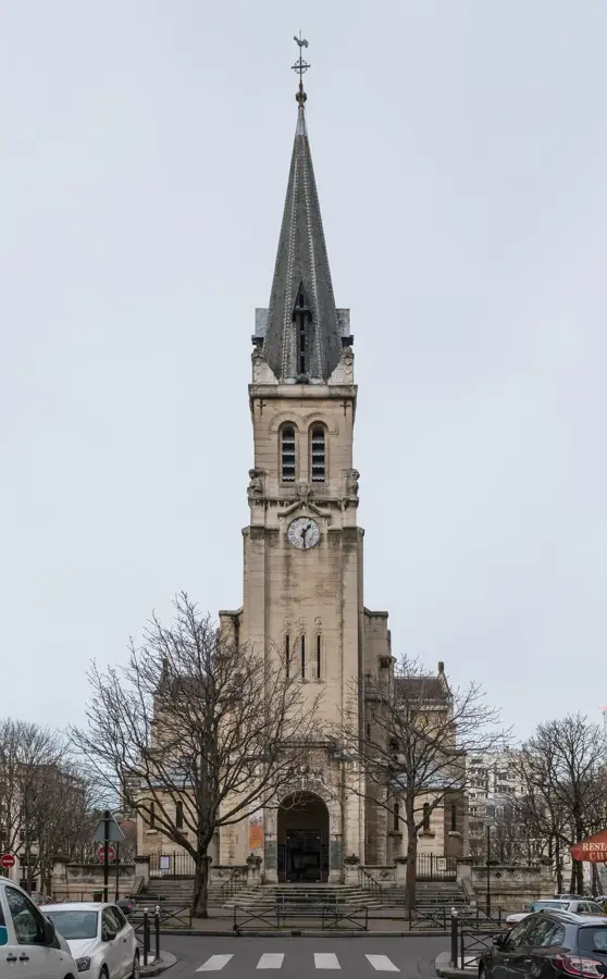
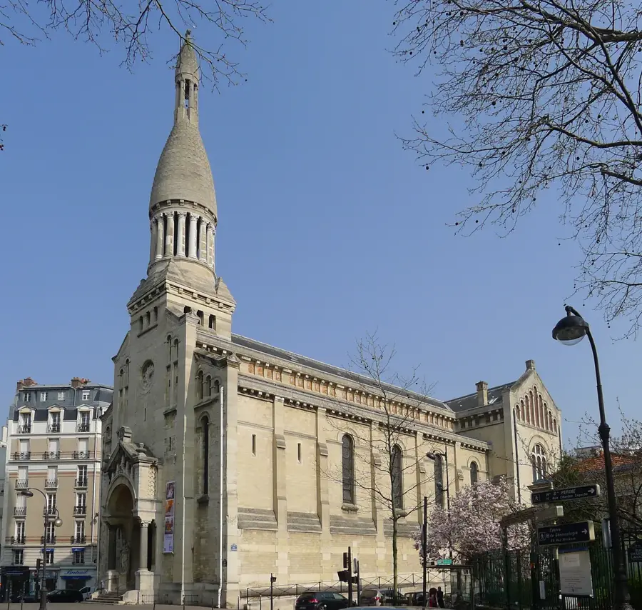
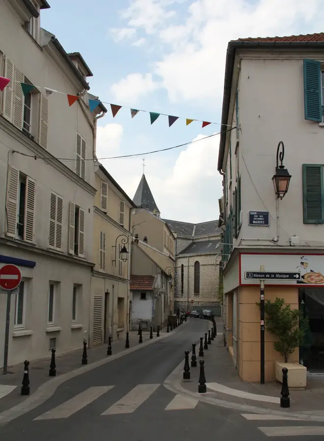
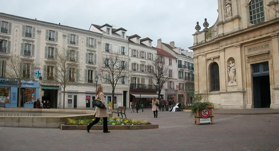
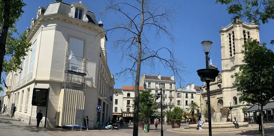
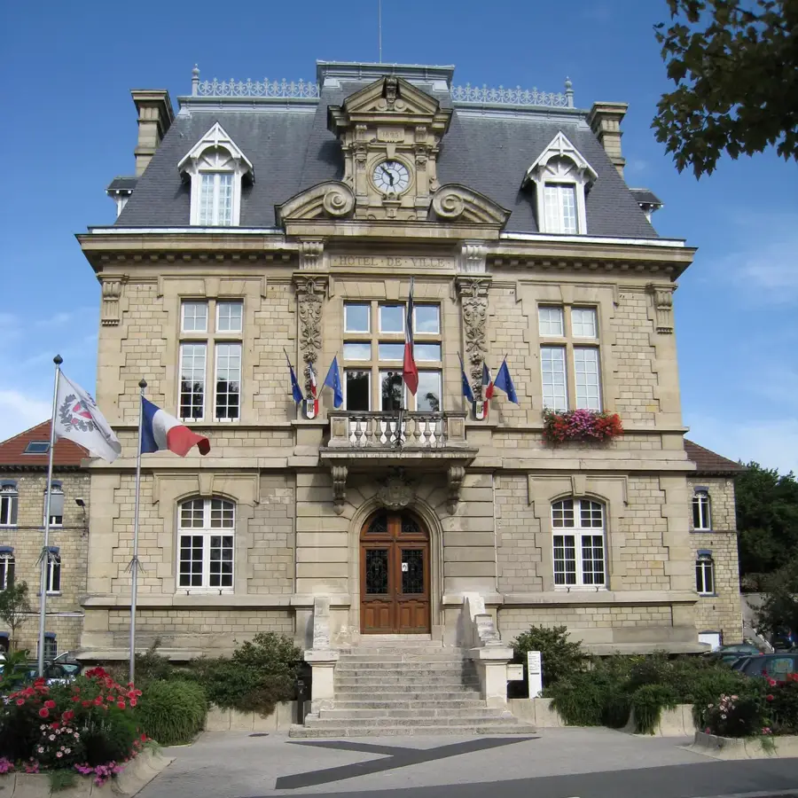
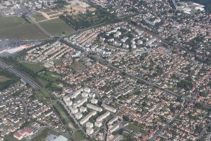
Located in the Val-d'Oise department, Pierrelaye is a town historically defined by its wide, flat agricultural plain. For over a century, the Plain of Pierrelaye served as a highly productive zone for market gardening, famously irrigated by channeled wastewater from Paris. Today, the area is the site of a monumental modern ecological project: the planting of the new Forêt de Maubuisson. This massive afforestation initiative is actively transforming the former agricultural grid into a huge new woodland designed to act as a green lung for the region. Within the town center itself, the traditional Saint-Jean-Baptiste church anchors the older streets. History enthusiasts will also note the path of the Chaussée Jules César traversing the municipality; this engineered Roman road once connected ancient Paris (Lutetia) to Rouen and currently serves as a designated walking path in several sections. Connected to central Paris via the RER C train line, Pierrelaye presents a factual case study of large-scale environmental regeneration operating over ancient historical routes.
Explore on the map
How well do you know France?
Find cities, landscapes and regions in 10 varied challenges on the interactive map.
Your journey, your memory
A postcard from Pierrelaye
Turn your own photo into a personal postcard with a local stamp. Free and no sign-up required.
Create a postcard- Location: Île-de-France, France
- Nearby: Éragny (4 km)
- Population: ~10.230
Best time to visit & climate
The most pleasant time to visit is Jun–Aug.
| Jan | Feb | Mar | Apr | May | Jun | Jul | Aug | Sep | Oct | Nov | Dec | |
|---|---|---|---|---|---|---|---|---|---|---|---|---|
| Avg °C | 3 | 4 | 7 | 10 | 13 | 17 | 19 | 19 | 15 | 12 | 7 | 4 |
| Rain mm | 56 | 50 | 54 | 41 | 65 | 58 | 55 | 58 | 42 | 61 | 64 | 71 |
Geography
Facts
- The Church of Saint-Jean-Baptiste was constructed in 1852.
- Pierrelaye is located about 20 km from central Paris.
- The municipal land area is 9.21 square kilometers.
- The 'Forêt de la Plaine' project spans over 1,000 hectares.
- The town lies on the ancient Roman road from Paris to Rouen.
- Pierrelaye is accessible via RER C and Transilien H lines.
Explore nearby
Notable places around
Route planner — Car & Motorhome
Where do you start? We build the route here, with stops and country notes along the way.
© OpenStreetMap contributors · OpenRouteService
Sights in the town Pierrelaye (1)
Frequently asked questions
Where exactly is Pierrelaye located?
What is the 'Forêt de Pierrelaye-Maubuisson' project?
Is there a train station in Pierrelaye?
What can you see at the Saint-Jean-Baptiste church?
How long does the journey to Paris take?
Pierrelaye: where is it located?
Pierrelaye: when is the best time to visit?
Pierrelaye: why is it worth visiting?

Nearby cities