Plizio Visual Lab

Vitry-le-François

Plizio editorial teamData Sources
City
—°2510
Vitry-le-François (France)
ℹ️

Practical info — Vitry-le-François

🌤 Weather — 5 days

📍 Nearby

Sights nearby

💡 Tips

  • The central square, Place d'Armes, is the heart of the grid layout and great for getting your bearings.
  • The town is a great, quieter base for exploring the Champagne region compared to the main hubs.
  • Take a short drive to Lake Der-Chantecoq (Lac du Der) for nature walks and birdwatching.
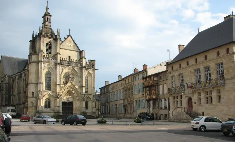
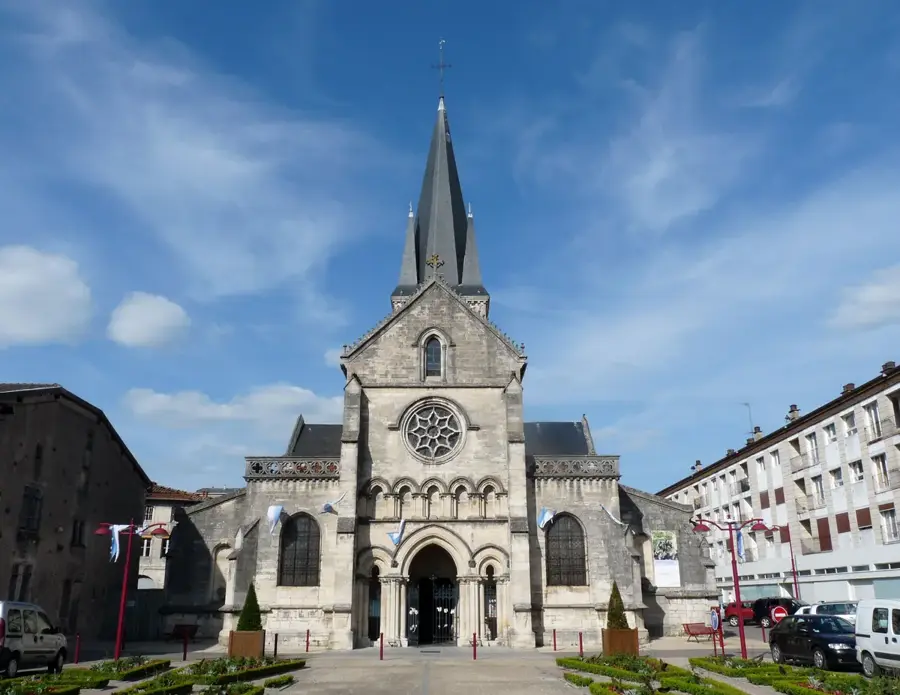
  • Look out for the Collegiate Church of Notre-Dame with its impressive facade right on the main square.
  • Finding street parking can be tricky during the lively Thursday morning market.

🍽 Food

🍽
Local Champagne

Enjoy a glass at a cafe near the Place d'Armes.

🍽
Andouillette

A French sausage specialty, try it in a traditional brasserie.

🍽
French pastries

Pick up local treats at bakeries along the main grid streets.

🛍 Shopping · 🧘 Quiet spots

🛍
Thursday Market

Weekly market on Place d'Armes offering regional produce.

🛍
Champagne boutiques

Find smaller grower Champagnes in specialized shops in the town center.

🧘
Marne-Rhine Canal

Great for a peaceful stroll along the water.

🧘
Parc du Jard

A quiet green space good for a relaxing afternoon.

Highlights of 2026

2

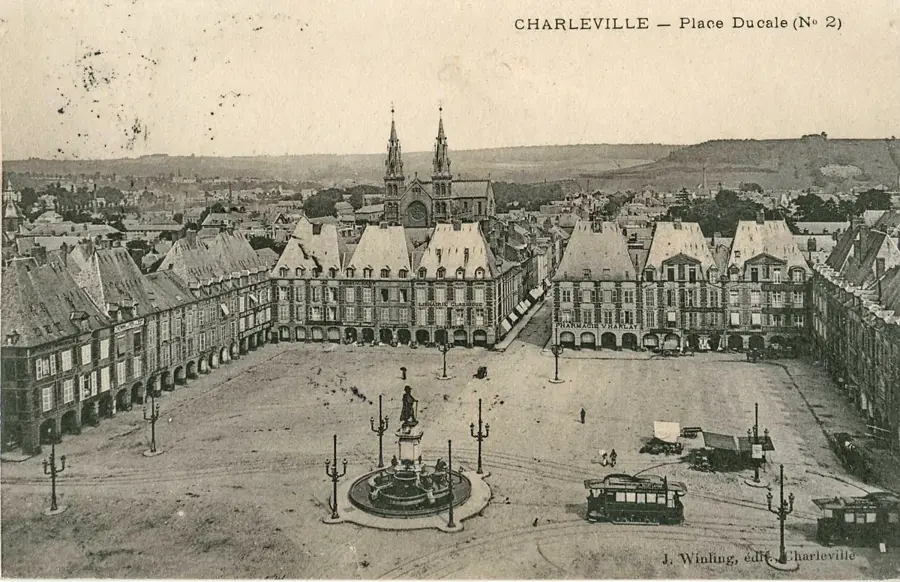
Vitry-le-François stands as an exceptional testament to 16th-century Renaissance urbanism in northeastern France. The city was commissioned by King Francis I in 1544 after the original settlement of Vitry-en-Perthois was destroyed by the forces of Charles V. Italian architect Girolamo Marini designed the new city according to a strict geometric grid, which was considered a well-suited model of the time. The layout centers around the square Place d'Armes, from which streets branch out at right angles, a structure that has been preserved despite the city being almost entirely destroyed during World War II and subsequently rebuilt according to the original plan. Geographically, it is located at a vital crossroads of French inland waterways, where the Marne river meets three major canals: the Marne-Rhine, the Marne-Saône, and the Lateral to the Marne. This makes Vitry-le-François a significant hub for river tourism and agricultural transport. Economically, the region is a major agricultural center of the Champagne department, focusing on cereal farming and Champagne production. The Collegiate Church of Notre-Dame remains the most significant religious landmark, reflecting the original grandeur of this Renaissance foundation.

Explore on the map

How well do you know France?

Find cities, landscapes and regions in 10 varied challenges on the interactive map.

Start the map quiz 10 challenges

Your journey, your memory

A postcard from Vitry-le-François

Turn your own photo into a personal postcard with a local stamp. Free and no sign-up required.

Create a postcard

Best time to visit & climate

The most pleasant time to visit is Jun–Aug.

JanFebMarAprMayJunJulAugSepOctNovDec
Avg °C2361014182020161163
Rain mm615456477460616352686572

Geography

Population
17,250
Coordinates
48.72470, 4.58440

Facts

  • Foundation: Established in 1544 to replace Vitry-en-Perthois.
  • Urban Design: Square grid based on a 100m module.
  • Waterways: Intersection of the Marne-Rhine and Marne-Saône canals.
  • WWII Impact: Nearly total destruction during the German invasion.
  • Population trend: Stable around 19,000 residents.
  • Agriculture: Surrounded by the fertile plains of the Champagne-Ardenne.

Explore nearby

Notable places around

Route planner — Car & Motorhome

Where do you start? We build the route here, with stops and country notes along the way.

Vehicle
Only stops with (optional):
Motorhome dimensions

© OpenStreetMap contributors · OpenRouteService

Sights in the town Vitry-le-François (5)

Collegiate Church of Notre-Dame⛪ religious

This impressive 17th-century church dominates the main square with its monumental classical facade and grand interior.

Place d'Armes🏙 civic

The town's central square, surrounded by harmonious architecture, serves as the animated heart of local urban life.

Porte du Pont🏺 historical

A monumental city gate built in 1746 to honor King Louis XV, standing as a significant historical landmark today.

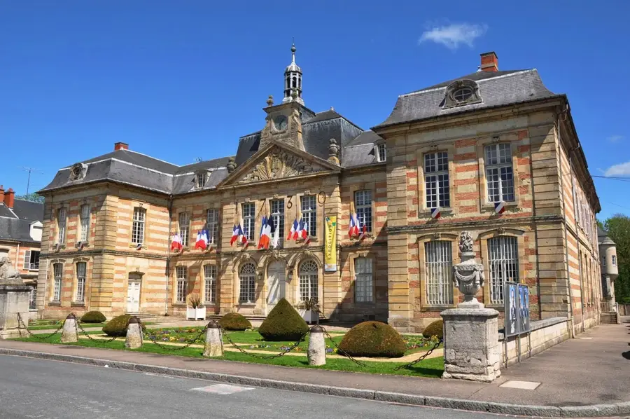
Town Hall🏙 civic

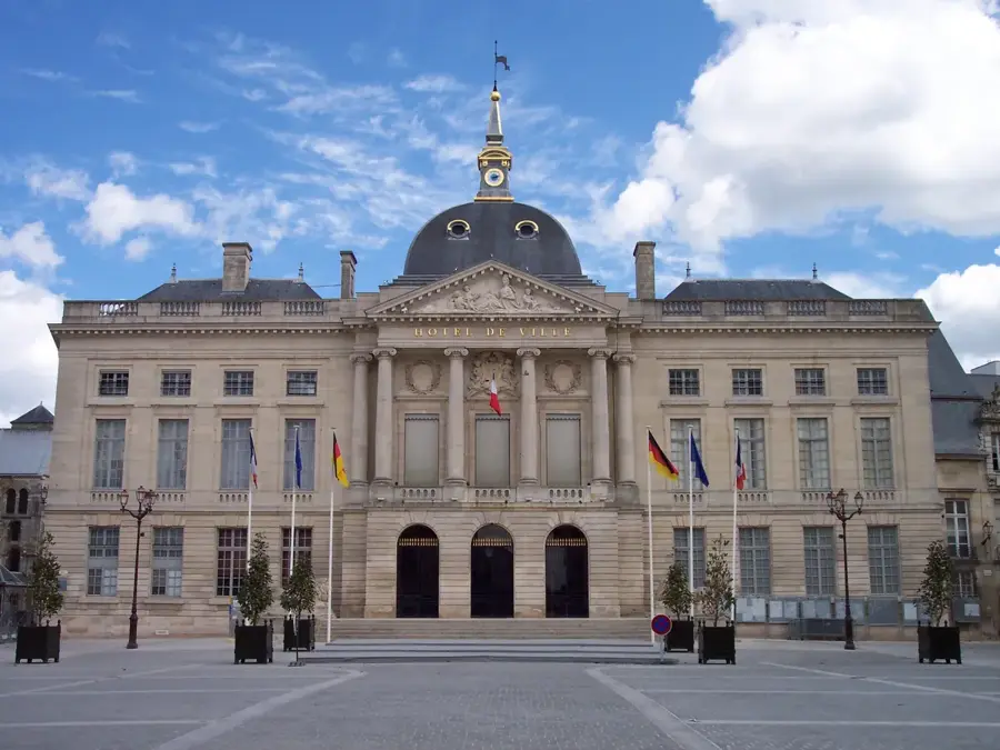
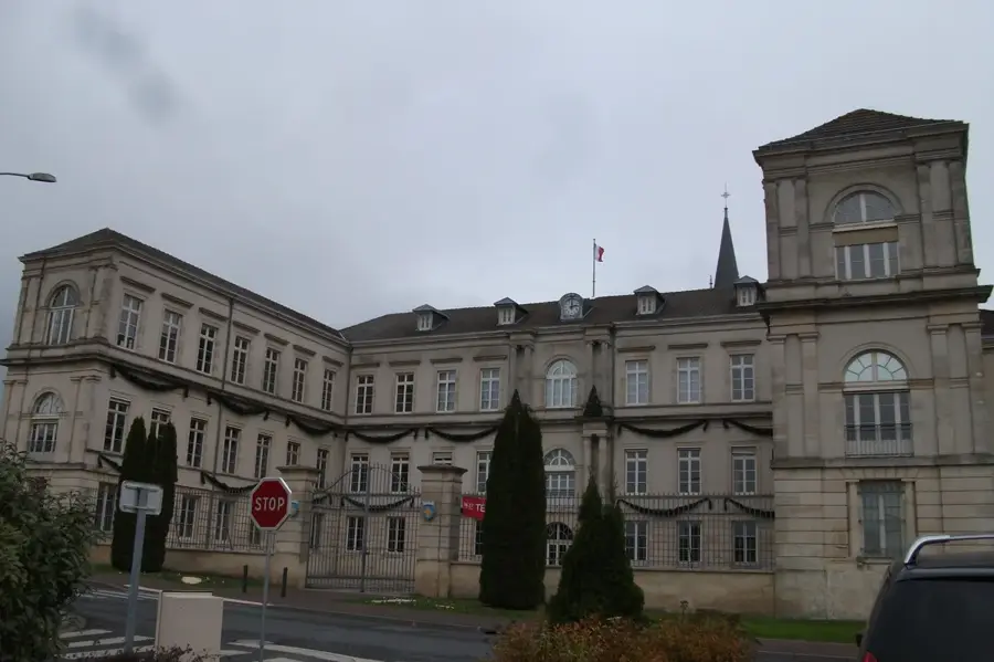
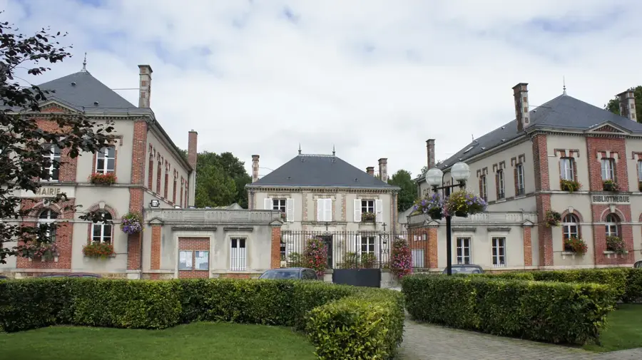
Located in a former 17th-century Franciscan monastery, the town hall features a beautiful and well-preserved cloister.

Canal entre Champagne et Bourgogne🎡 recreation

This scenic canal provides peaceful waterside paths for walking and cycling through the pleasant regional landscape.

Frequently asked questions

Why does the city have such a regular layout?
It was refounded in the 16th century by Francis I according to a modern Renaissance checkerboard pattern.
What is the Porte du Pont?
A monumental city gate in honor of Louis XIV, rebuilt after the Second World War.
How far is Lac du Der?
Lac du Der-Chantecoq, one of Europe's largest artificial lakes, is only about 20 km from the city.
Are there champagne cellars nearby?
Yes, Vitry-le-François is located on the Champagne tourist route, in the Côte des Blancs region.
What is special about the Notre-Dame Collegiate Church?
It is a fine example of classical architecture and dominates the city's central square.
Vitry-le-François: where is it located?
Vitry-le-François is located in Grand Est, France.
Vitry-le-François: what is there to see?
Highlights include Collegiate Church of Notre-Dame, Place d'Armes, Porte du Pont.
Vitry-le-François: when is the best time to visit?
The most pleasant time to visit is Jun, Aug.
Vitry-le-François: why is it worth visiting?
Vitry-le-François stands as an exceptional testament to 16th-century Renaissance urbanism in northeastern France.
View on map → The Top 50 Attractions → Most beautiful beaches → OpenStreetMap →
Europe
Explore with Plizio Discover more places in Europe
More places in France →

Nearby cities