Plizio Visual Lab
Meythet
ℹ️Practical info — Meythet
▾
🌤 Weather — 5 days
📍 Nearby
Sights nearby
💡 Tips
- Meythet is well-connected by bus to central Annecy; leave your car here to avoid lakeside traffic jams.
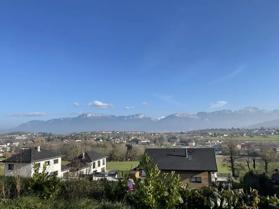
- Enjoy views of the surrounding mountains from the quiet town parks.
- Many local businesses traditionally close for lunch between 12 PM and 2 PM.
- The town features excellent, affordable accommodation as an alternative to the expensive Annecy center.
🍽 Food
Look for tartiflette and hearty cheese fondue in traditional restaurants just outside the industrial zones.
Grab a filled baguette or a hot sandwich from the bakeries along the main transit routes.
Enjoy a strong coffee and a fresh croissant at the small bistros near the town hall.
🛍 Shopping · 🧘 Quiet spots
Check out the large outdoor stores in the commercial zones; they offer ski and hiking equipment at good prices.
Buy local Savoyard charcuterie and cheeses at the smaller artisan shops in the center.
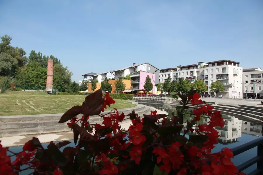
A green stream area that provides a peaceful contrast to the region's industrial activity.
A well-kept small green space, good for reading a book or enjoying a short break.
Water temperature…
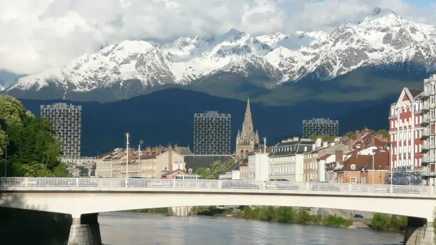
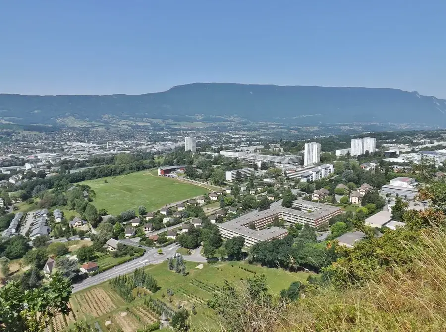
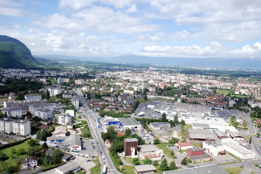
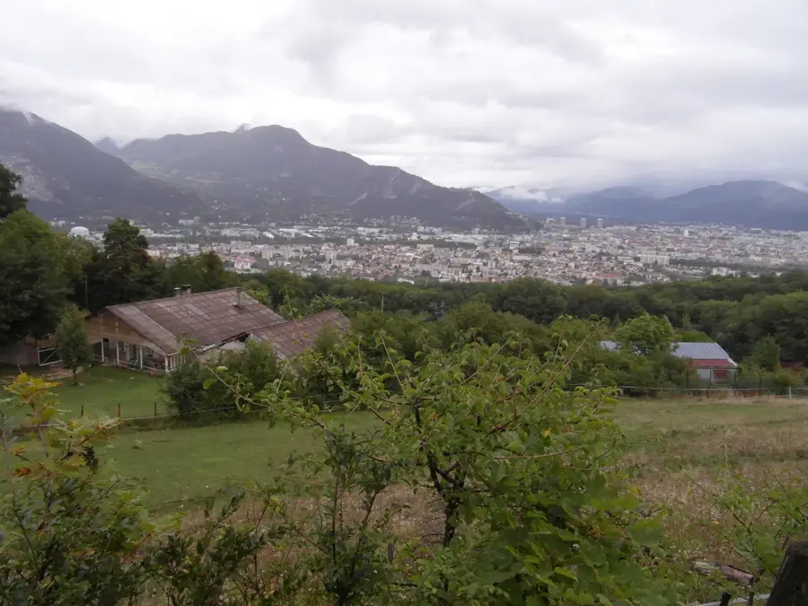
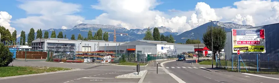
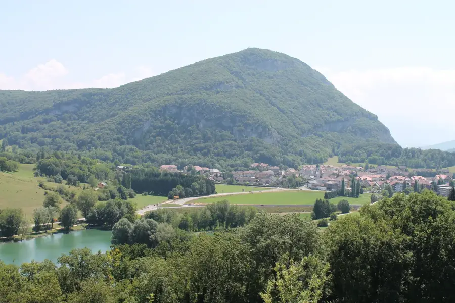
Meythet is located in the Savoy Alps, just west of Annecy, and has been a delegated commune of the new Annecy municipality since 2017. Geographically positioned on a plateau overlooking the Fier river valley, it provides impressive views of the surrounding mountains, such as the Semnoz and the Bauges massif. Historically a small farming village, Meythet experienced rapid urbanization and industrial growth starting in the 1960s, becoming a vital part of the Annecy industrial basin. It is particularly known for hosting the Annecy-Haute-Savoie-Mont-Blanc Airport, which serves as a major gateway for business and leisure aviation in the Alps. The town's economy is robust, featuring high-tech manufacturing, aerospace components, and retail sectors. Despite its urbanized character, Meythet maintains a focus on community and culture, highlighted by the 'Le Rabelais' cultural center, which hosts a variety of film festivals and theatrical performances. Its proximity to Lake Annecy and numerous mountain trails provides residents with high-quality outdoor recreational opportunities, blending urban living with Alpine nature.
Explore on the map
How well do you know France?
Find cities, landscapes and regions in 10 varied challenges on the interactive map.
Your journey, your memory
A postcard from Meythet
Turn your own photo into a personal postcard with a local stamp. Free and no sign-up required.
Create a postcard- Location: Auvergne-Rhône-Alpes, France
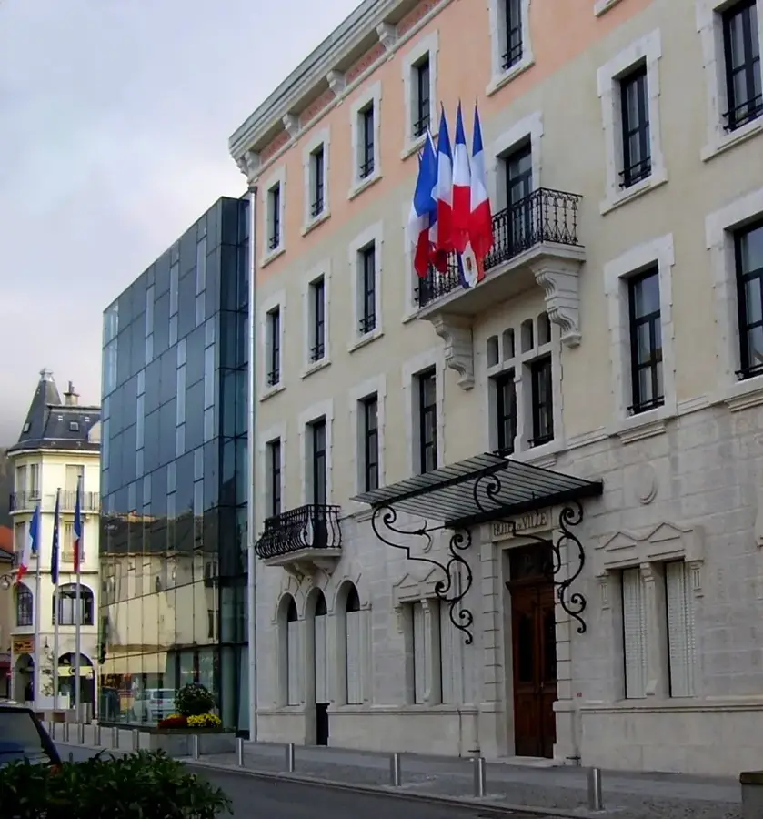
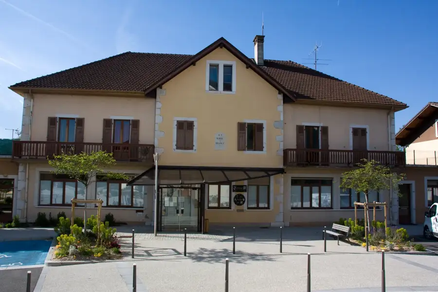
- Highlights: Le Rabelais Cultural Center · Town Hall of Meythet · Old Meythet
- Nearby: Sillingy (6 km)
- Population: ~8.424
Best time to visit & climate
The most pleasant time to visit is Jun–Aug.
| Jan | Feb | Mar | Apr | May | Jun | Jul | Aug | Sep | Oct | Nov | Dec | |
|---|---|---|---|---|---|---|---|---|---|---|---|---|
| Avg °C | -1 | 0 | 4 | 8 | 12 | 17 | 19 | 18 | 14 | 10 | 4 | 0 |
| Rain mm | 98 | 73 | 90 | 75 | 111 | 100 | 93 | 99 | 76 | 92 | 96 | 106 |
Geography
Facts
- Total area of approximately 3.24 km²
- Merged with Annecy on January 1, 2017
- Home to the Le Rabelais cultural center
- Hosts part of the Annecy-Haute-Savoie-Mont-Blanc Airport
- Maximum altitude reaches 460 meters above sea level
- A significant hub for precision engineering companies
Explore nearby
Notable places around
Route planner — Car & Motorhome
Where do you start? We build the route here, with stops and country notes along the way.
© OpenStreetMap contributors · OpenRouteService
Sights in the town Meythet (7)
Frequently asked questions
How close is Meythet to Lake Annecy?
What sporting activities are available?
Which cheese should I try in the region?
Are there bus connections to Annecy?
When is the local market held?
Meythet: where is it located?
Meythet: what is there to see?
Meythet: when is the best time to visit?
Meythet: why is it worth visiting?

Nearby cities