Plizio Visual Lab

Aavasaksa
Plizio editorial teamData Sources
Mountain
—°7
Aavasaksa (Finland)

Weather…

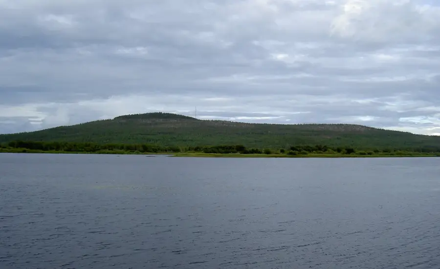
Aavasaksa is a 242-meter-high hill in the Ylitornio municipality of Finnish Lapland, serving as a significant geographical and cultural landmark. It is renowned as the southernmost point in Finland where the midnight sun can be seen above the horizon during the summer solstice. Due to its exceptional vistas, the summit was visited as early as the 18th century by scientific expeditions, such as Pierre Louis Maupertuis's 1736 mission to determine the shape of the Earth. Later, Aavasaksa was included in the UNESCO World Heritage List as part of the Struve Geodetic Arc. On the summit stands the historic Imperial Pavilion, built in 1882 for a planned visit by Russian Tsar Alexander III. The hill's flora is typical of the northern taiga, with steep slopes characterized by granite formations exposed by glacial erosion.

Explore on the map

How well do you know Finland?

Find cities, landscapes and regions in 10 varied challenges on the interactive map.

Start the map quiz 10 challenges

Your journey, your memory

A postcard from Aavasaksa

Turn your own photo into a personal postcard with a local stamp. Free and no sign-up required.

Create a postcard

Best time to visit & climate

The most pleasant time to visit is Jun–Aug.

JanFebMarAprMayJunJulAugSepOctNovDec
Avg °C-13-12-7-1712161381-6-10
Rain mm493940446585928678606059

📋 Practical info

🧭
Getting there
Aavasaksa is typically accessed via regional roads leading to Ylitornio, serving as a well-known starting point for explorations along the Tornionjoki river. You can usually reach the general base area by driving.
📅
Best season
The most favorable season for a visit usually spans the summer months, allowing travelers to experience the pleasant weather near the Swedish border. Winter visits are typically possible but require appropriate preparation.
⛰️
Terrain & paths
The terrain primarily features a well-known hill environment, meaning visitors can expect varied elevations and potentially uneven natural paths. While generally accessible, some sections typically involve moderate ascents.
🎒
What to bring
Visitors are generally advised to wear sturdy walking shoes and layer their clothing to adapt to the changing weather conditions near the river. Carrying sufficient water and a reliable windbreaker is typically recommended.
🅿️
Parking
Parking facilities are usually found in the vicinity of Ylitornio or near the designated starting points for local hill exploration. It is typically advisable to leave vehicles at officially marked spots to avoid obstructing traffic.
⚠️
Safety
Safety precautions typically include staying on established paths where available and being mindful of sudden weather shifts near the Swedish border. Visitors should generally exercise caution when navigating the natural outdoor surfaces.
⏱️
Time needed
A typical visit to this well-known hill often lasts anywhere from a couple of hours to a half-day, depending on the chosen activity level. This duration usually allows enough time to explore the surroundings at a relaxed pace.

Geography

Coordinates
66.40000, 23.70000

Facts

  • Aavasaksa is part of the UNESCO World Heritage Struve Geodetic Arc.
  • The hill reaches an elevation of 242 meters above sea level.
  • In 1736, Maupertuis conducted a major degree measurement expedition here.
  • The Imperial Pavilion was constructed in 1882 in a neoclassical style.
  • It is the southernmost point in Finland to experience the midnight sun.
  • The observation tower on the summit was built in 1969.

Explore nearby

Notable places around
Route planner — Car & Motorhome

Where do you start? We build the route here, with stops and country notes along the way.

Vehicle
Only stops with (optional):
Motorhome dimensions

© OpenStreetMap contributors · OpenRouteService

Sights in the town Aavasaksa (7)

BRO -stranden🎡 recreation

BRO beach near Aavasaksa hill.

Aunesgården🏛 museum

A local history museum in Övertorneå showcasing life in a historic farmstead.

Keisarinmaja🏛 museum

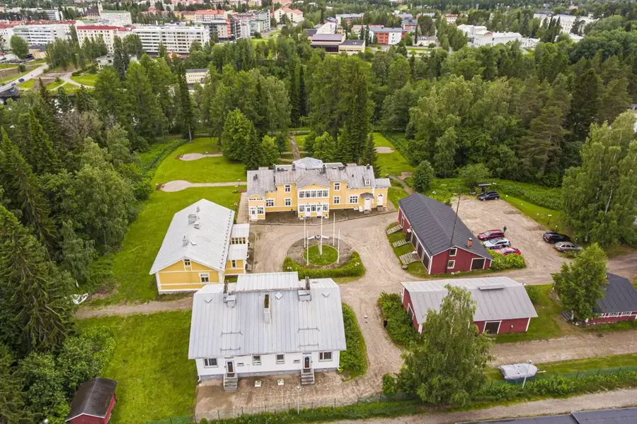
A historic hunting lodge on Aavasaksa hill, built for the visit of Alexander II.

Kruununnäyttämö🎭 culture

An outdoor summer theatre venue located on the Aavasaksa hill.

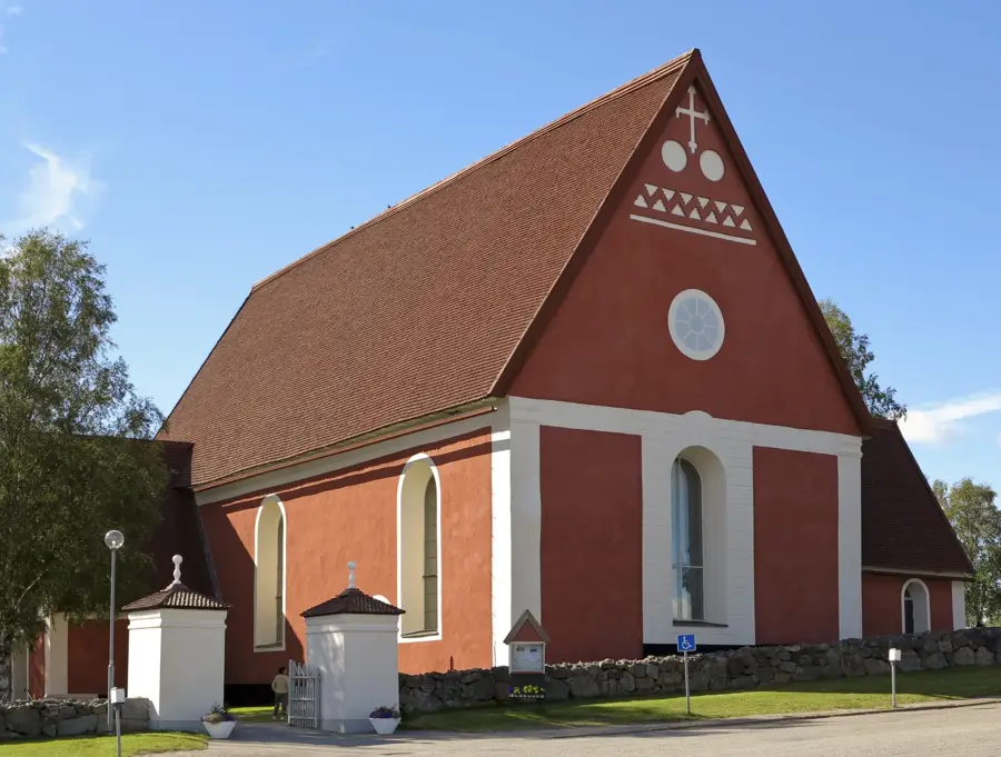
Övertorneå kyrka⛪ religious

A historic wooden church in Övertorneå, known for its well-preserved 18th-century organ.

Polar-Badet🎡 recreation

A public bath offering swimming facilities in Aavasaksa.

Ekobadet🎡 recreation

An environmentally friendly swimming pool located in Aavasaksa.

Sights nearby

Frequently asked questions

Why is Aavasaksa famous?
It is the southernmost point in Finland where the midnight sun can be seen during the summer solstice.
What is the Struve Geodetic Arc?
A UNESCO World Heritage site used to measure the Earth's shape, with one point located here.
What is the Imperial Lodge?
A historic hunting lodge built in 1882 for a visit by the Tsar.
Is there an observation tower?
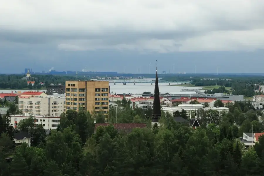
Yes, a tower has a wide view over the Tornio River valley.
Can you stay overnight?
There is a holiday village nearby with cottages and camping facilities.
Aavasaksa: where is it located?
Aavasaksa is located in Finland.
Aavasaksa: what is there to see?
Highlights include BRO -stranden, Aunesgården, Keisarinmaja.
Aavasaksa: when is the best time to visit?
The most pleasant time to visit is Jun, Aug.
Aavasaksa: why is it worth visiting?
Aavasaksa is a 242-meter-high hill in the Ylitornio municipality of Finnish Lapland, serving as a significant geographical and cultural landmark.
View on map → The Top 50 Attractions → Most beautiful beaches → OpenStreetMap →
Europe
Explore with Plizio Discover more places in Europe
More places in Finland →

Nearby cities

History & landmarks