Plizio Visual Lab
Tuuliku-Nukk
Weather…
Water temperature…
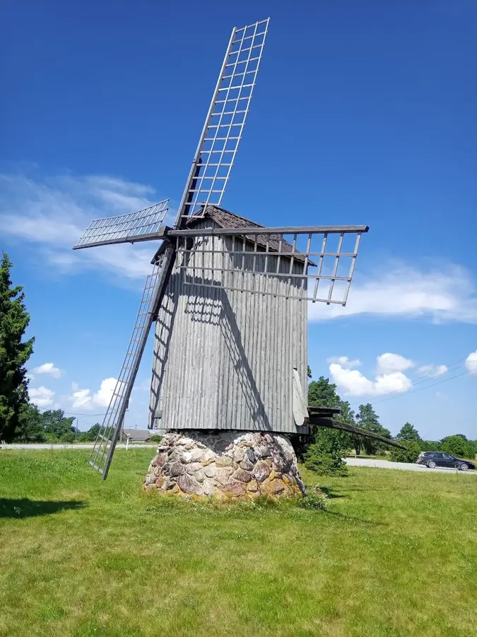
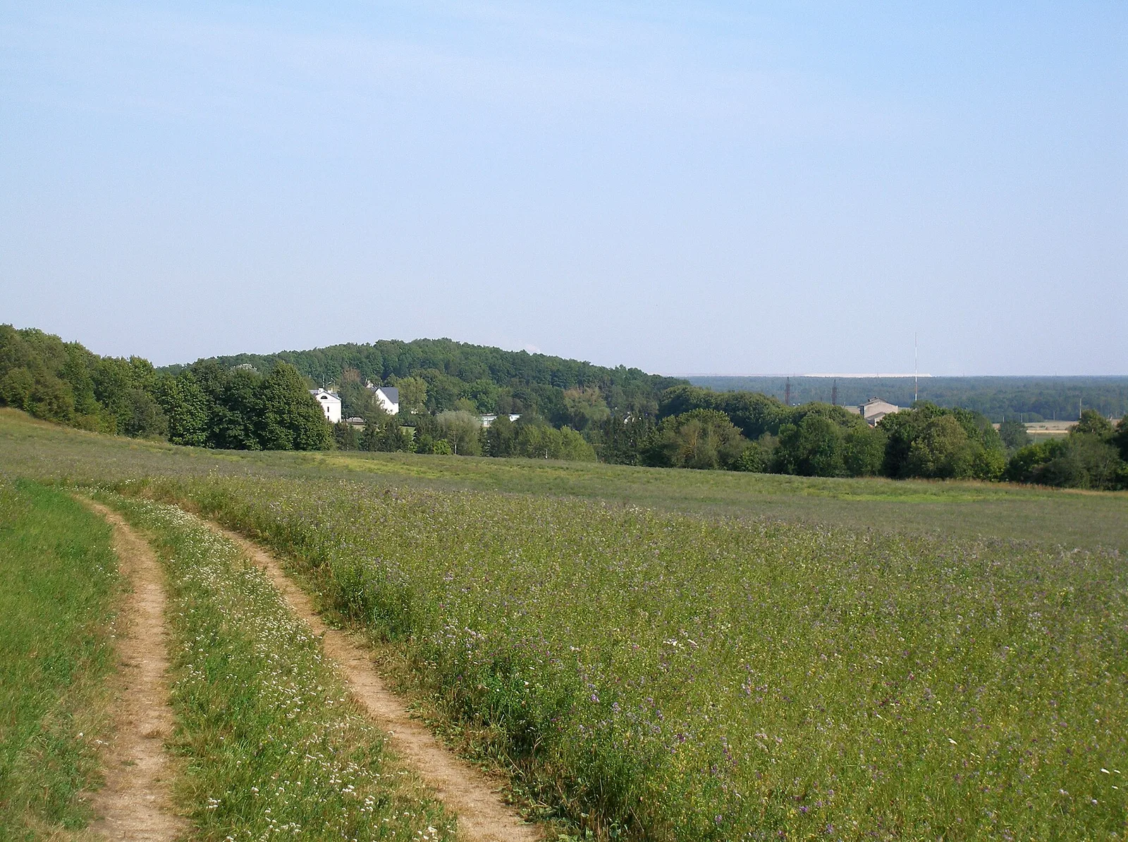
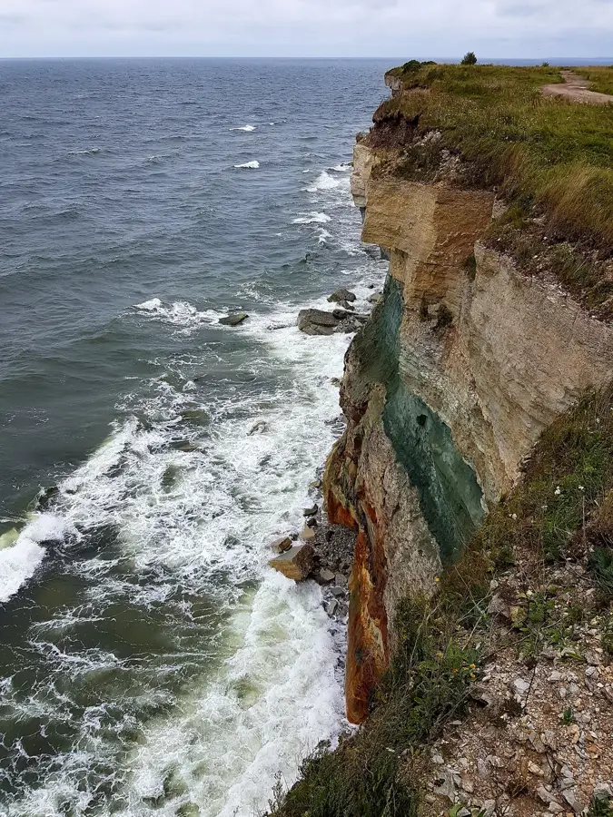
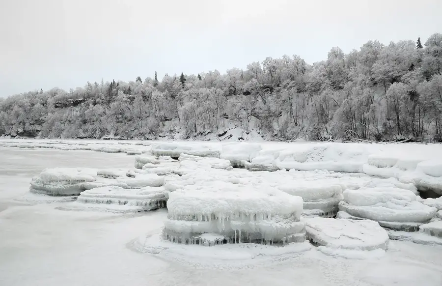
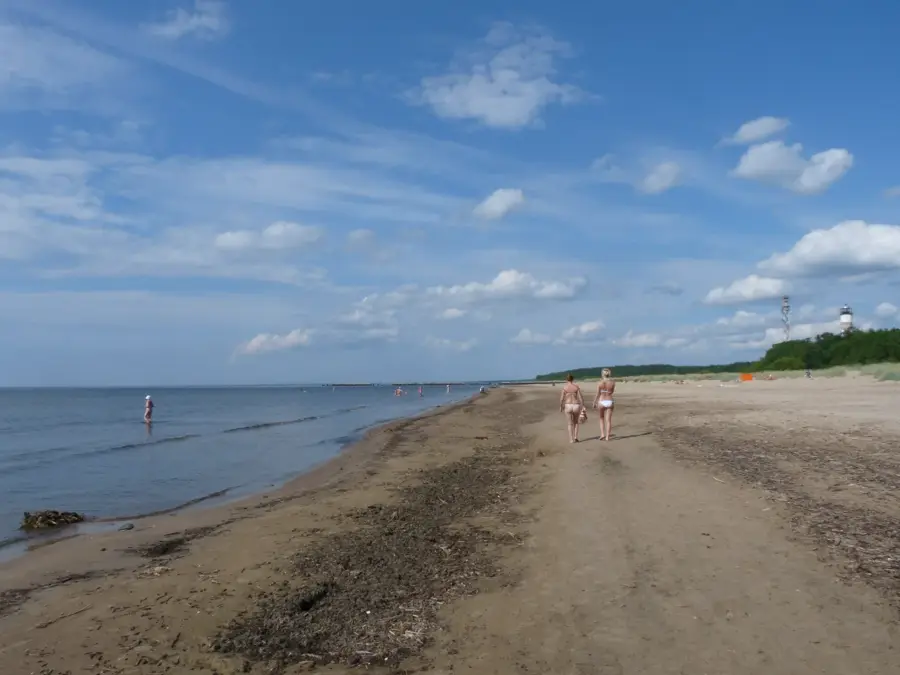
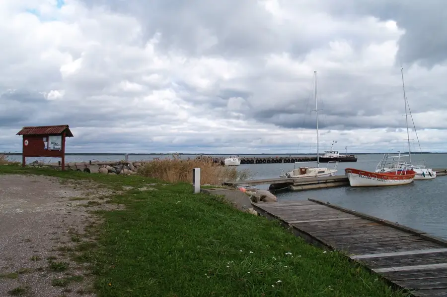
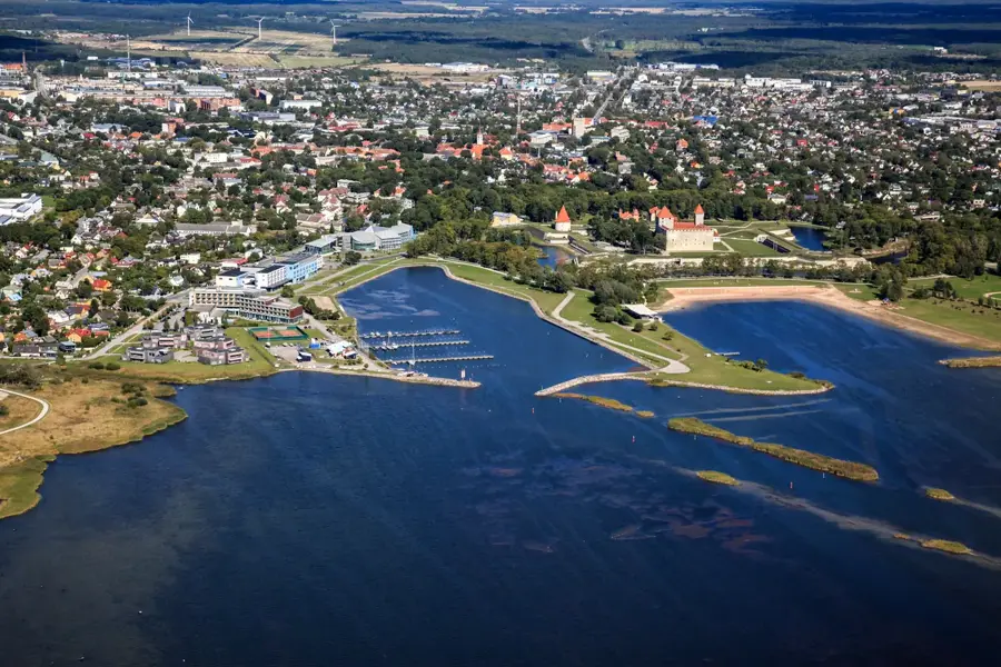
Tuuliku-Nukk is a coastal promontory located on the northwest shore of Saaremaa island, specifically on the Tagamõisa Peninsula in Estonia. Geologically, the area is defined by Silurian limestone bedrock, which forms low-lying coastal ledges extending into the Baltic Sea. Historically, this region was significant for local fishing activities, although the treacherous shallow waters and hidden reefs posed a constant risk to maritime traffic. Today, the site is integrated into a protected natural area, serving as a sanctuary for rare plant species and vital nesting grounds for various seabirds. The ongoing process of post-glacial isostatic rebound causes the coastline to slowly rise, gradually converting former underwater rises into dry land. The landscape provides a raw and pristine environment, showcasing the characteristic coastal features of the Estonian archipelago.
Explore on the map
How well do you know Estonia?
Find cities, landscapes and regions in 10 varied challenges on the interactive map.
Your journey, your memory
A postcard from Tuuliku-Nukk
Turn your own photo into a personal postcard with a local stamp. Free and no sign-up required.
Create a postcard- Location: Estonia
- Highlights: Jüri rand · Tuulevälja AÜ ujumiskoht · Estonian Liberation Movement Museum at Lagedi
- Nearby: Saue (20 km)
Best time to visit & climate
The most pleasant time to visit is Jun–Aug.
| Jan | Feb | Mar | Apr | May | Jun | Jul | Aug | Sep | Oct | Nov | Dec | |
|---|---|---|---|---|---|---|---|---|---|---|---|---|
| Avg °C | -4 | -5 | -2 | 4 | 10 | 14 | 18 | 18 | 13 | 7 | 3 | -1 |
| Rain mm | 52 | 42 | 40 | 40 | 48 | 72 | 65 | 72 | 57 | 71 | 68 | 57 |
📋 Practical info
Geography
Facts
- Located on the Tagamõisa Peninsula in the northwestern part of Saaremaa.
- The bedrock consists primarily of Silurian limestone deposits.
- The area experiences a post-glacial land uplift of about 2-3 mm per year.
- Shallow coastal waters near the point make it hazardous for maritime navigation.
- Serves as a significant stopover for migratory birds on the East Atlantic Flyway.
- The surrounding landscape is part of Estonia's network of protected nature sites.
Explore nearby
Notable places around
Route planner — Car & Motorhome
Where do you start? We build the route here, with stops and country notes along the way.
© OpenStreetMap contributors · OpenRouteService
Sights in the town Tuuliku-Nukk (5)
Sights nearby
Frequently asked questions
Was there a windmill on Tuuliku-Nukk in the past?
Does the place offer a good view?
Is the place easily accessible on foot?
Can you have a picnic there?
Are there still working mills nearby today?
Tuuliku-Nukk: where is it located?
Tuuliku-Nukk: what is there to see?
Tuuliku-Nukk: when is the best time to visit?
Tuuliku-Nukk: why is it worth visiting?

Nearby cities
History & landmarks
Nature
More places