Plizio Visual Lab
Liiva-Mägi
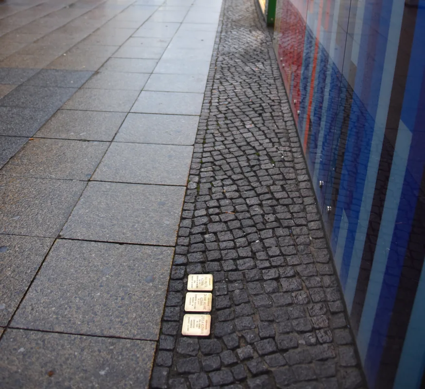
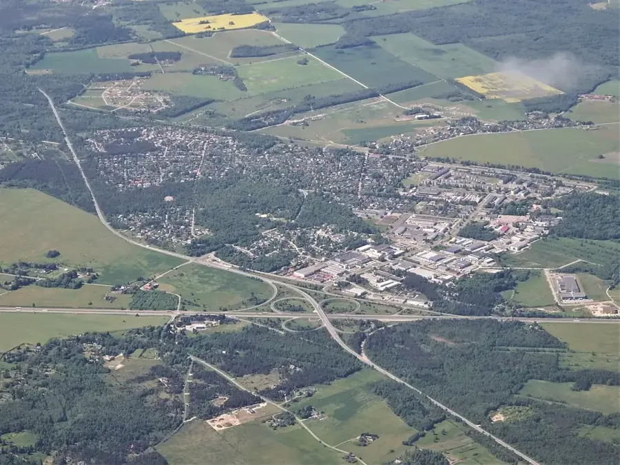
Liiva-Magi is a characteristic sand ridge stretching through the lake-rich landscape of central Estonia. Geologically, it is an esker, a long, winding ridge of stratified sand and gravel deposited by meltwater streams flowing within or beneath glacial ice. The name translates to Sand Hill, reflecting the fine-grained sandy composition of its soil, which is typical for this type of glacial feature. Due to the high permeability of the ground, Liiva-Magi is often covered with open pine forests, creating a sharp contrast to the surrounding bogs and wet meadows. The ridge acts as a natural corridor for wildlife and was historically used as a dry passage through difficult, swampy terrain. For geologists, Liiva-Magi provides an excellent case study for reconstructing the flow paths of prehistoric ice sheets. Today, the elevation is a popular destination for hikers and mushroom foragers who value the unique flora associated with sandy environments.
Explore on the map
How well do you know Estonia?
Find cities, landscapes and regions in 10 varied challenges on the interactive map.
Your journey, your memory
A postcard from Liiva-Mägi
Turn your own photo into a personal postcard with a local stamp. Free and no sign-up required.
Create a postcard- Location: Estonia
- Highlights: Härgesoo tiigi supelrand · Kuristu talu miniloomad · Maidla ujumiskoht
- Nearby: Keila (13 km)
Best time to visit & climate
The most pleasant time to visit is Jun–Aug.
| Jan | Feb | Mar | Apr | May | Jun | Jul | Aug | Sep | Oct | Nov | Dec | |
|---|---|---|---|---|---|---|---|---|---|---|---|---|
| Avg °C | -5 | -5 | -2 | 4 | 11 | 15 | 18 | 17 | 13 | 6 | 2 | -2 |
| Rain mm | 52 | 44 | 40 | 41 | 47 | 70 | 67 | 73 | 53 | 66 | 66 | 56 |
📋 Practical info
Geography
Facts
- Classified as an esker (glacial sand ridge).
- The name Liiva-Magi means Sand Hill in Estonian.
- Formed by meltwater deposits beneath the continental ice sheet.
- Consists primarily of fine-grained prehistoric sand.
- Serves as a natural elevated path through boggy areas.
- The typical vegetation consists of open, dry pine forests.
Explore nearby
Notable places around
Route planner — Car & Motorhome
Where do you start? We build the route here, with stops and country notes along the way.
© OpenStreetMap contributors · OpenRouteService
Sights in the town Liiva-Mägi (3)
Sights nearby
Frequently asked questions
What is Liiva-Mägi?
Is the soil loose there?
Are there special animals there?
Is off-road driving allowed?
Can you walk barefoot there?
Liiva-Mägi: where is it located?
Liiva-Mägi: what is there to see?
Liiva-Mägi: when is the best time to visit?
Liiva-Mägi: why is it worth visiting?

Nearby cities
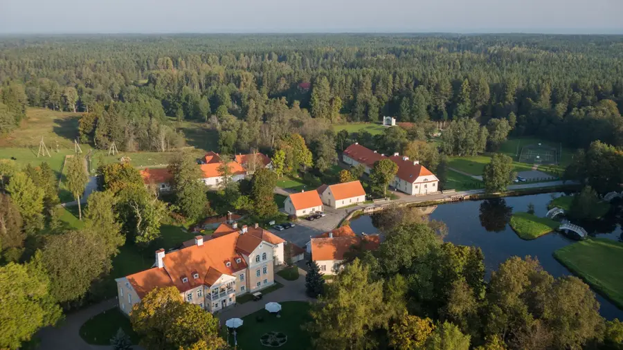
History & landmarks
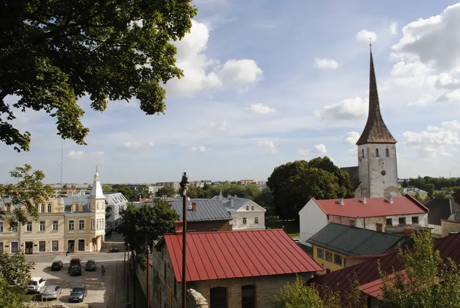
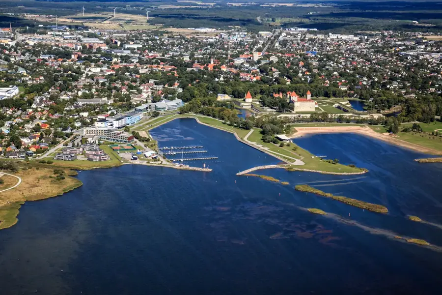
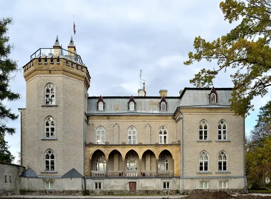
Nature
More places