Plizio Visual Lab
Keren
ℹ️Practical info — Keren
▾
🌤 Weather — 5 days
📍 Nearby
Sights nearby
💡 Tips
- Visit the famous camel market on Mondays early in the morning for the best and most authentic experience.
- The city is surrounded by mountains, making its climate generally warmer and milder than Asmara.
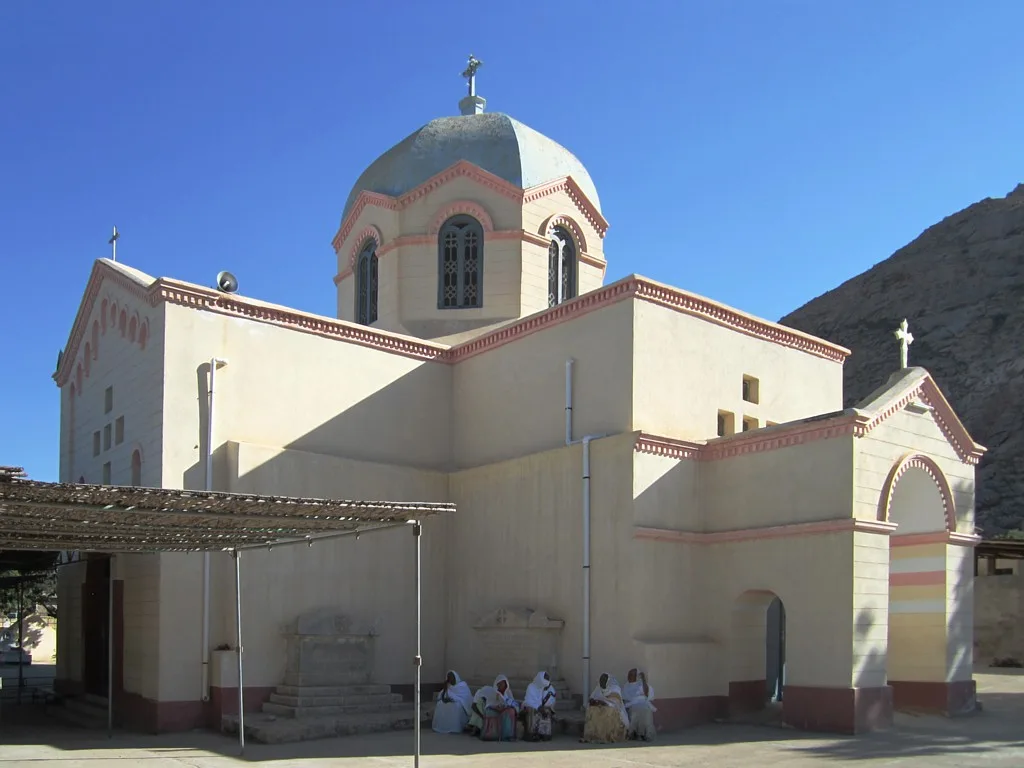
- Don't miss the Chapel of Mariam Dearit, uniquely situated inside a hollow baobab tree.
- Respect local dress codes by keeping your shoulders and knees covered in public areas.
🍽 Food
A spicy meat stew available in most traditional restaurants.
Shredded flatbread with spices, a hearty and flavorful breakfast option.
Enjoy a strong, perfectly brewed coffee at cafes around the main square.
🛍 Shopping · 🧘 Quiet spots
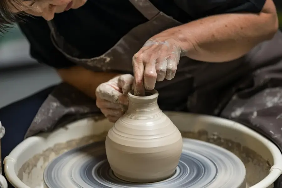
Local silversmiths offer intricate, traditional designs in small shops.
Find an animated selection at the bustling central market.
Colorful and practical handicrafts made by local women.
A deeply peaceful and shaded spot under the giant baobab tree.
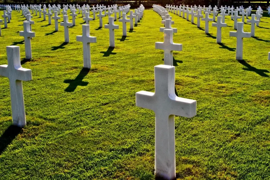
A well-kept, historical, and serene resting place.
Take a walking trail for quiet views over the town.
Water temperature…
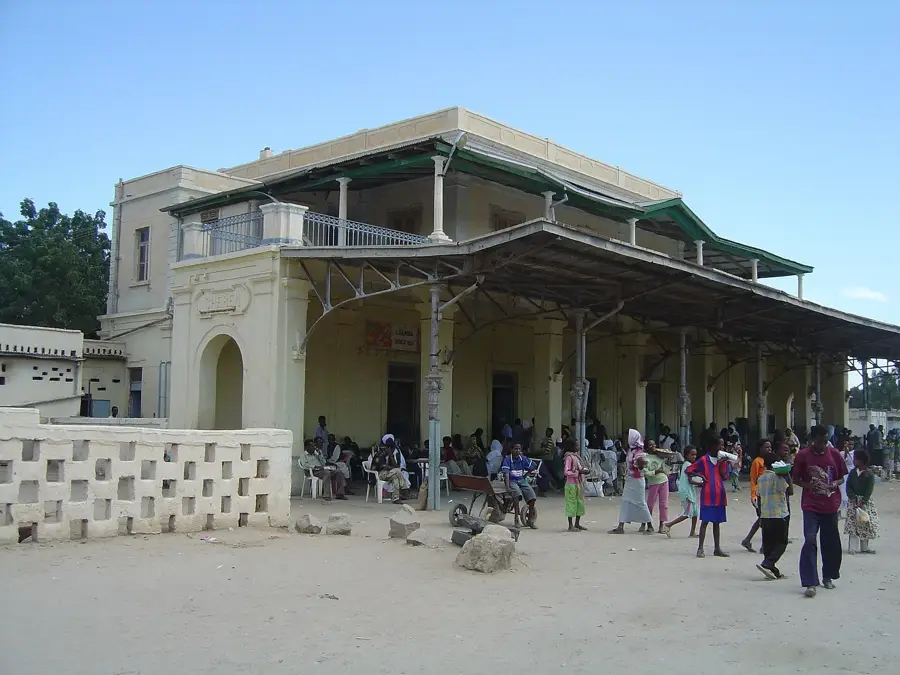
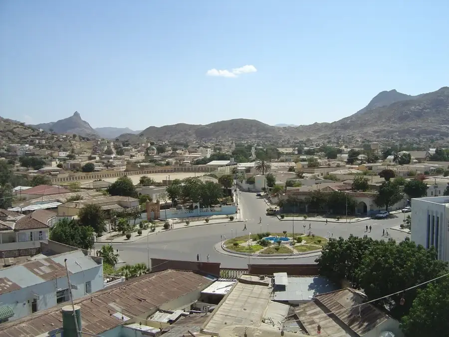
Keren, Eritrea's second-largest city, is beautifully situated in a wide valley surrounded by granite mountains, approximately 91 kilometers northwest of Asmara. Located at an elevation of 1,390 meters, it serves as the capital of the Anseba region and is favored for its moderate climate and relatively lush surroundings. The city gained international historical prominence as the site of the Battle of Keren in 1941, a decisive confrontation during World War II between British Commonwealth forces and the Italian army. The meticulously maintained British and Italian war cemeteries remain poignant landmarks of this era. A unique spiritual site in Keren is the Shrine of St. Maryam Dearit, famously housed within the hollow of a massive, ancient baobab tree, attracting thousands of pilgrims annually. Every Monday, the city hosts a world-renowned livestock market, where pastoralists from across the region gather to trade camels and cattle. The cultural tapestry of Keren is woven from the traditions of the Bilen and Tigre ethnic groups, creating a hospitable and multi-faith community that reflects the enduring spirit of the Eritrean highlands.
- Location: Eritrea
- Nearby: Filfil (55 km)
- Population: ~74.800 (2021)
Best time to visit & climate
The most pleasant time to visit is Jan, Feb, Dec.
| Jan | Feb | Mar | Apr | May | Jun | Jul | Aug | Sep | Oct | Nov | Dec | |
|---|---|---|---|---|---|---|---|---|---|---|---|---|
| Avg °C | 20 | 22 | 23 | 26 | 28 | 30 | 28 | 26 | 27 | 24 | 23 | 21 |
| Rain mm | 3 | 5 | 4 | 17 | 13 | 20 | 92 | 120 | 27 | 7 | 7 | 3 |
Geography
Facts
- Keren is located at an altitude of 1,390 meters in a granite valley.
- The Battle of Keren (1941) was a critical victory for the Allied forces.
- The Mariam Dearit shrine is integrated into a hollowed-out baobab tree.
- Keren is the administrative capital of the Anseba administrative region.
- The city's weekly livestock market is a major regional economic event.
- Keren is noted for its distinctive blend of Bilen and Tigre cultures.
Explore nearby
Notable places around
Route planner — Car & Motorhome
Where do you start? We build the route here, with stops and country notes along the way.
© OpenStreetMap contributors · OpenRouteService
Frequently asked questions
What is Keren known for?
When is the best day to visit?
What is Mariam Dearit?
What is the atmosphere like in Keren?
Are there hotels there?
Keren: where is it located?
Keren: when is the best time to visit?
Keren: why is it worth visiting?

Nearby cities
History & landmarks
More places