Plizio Visual Lab
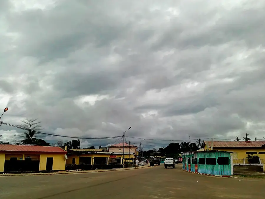
Mbini Estuary

Weather…
Water temperature…
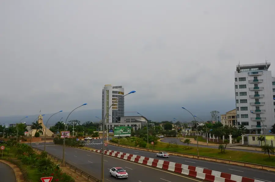
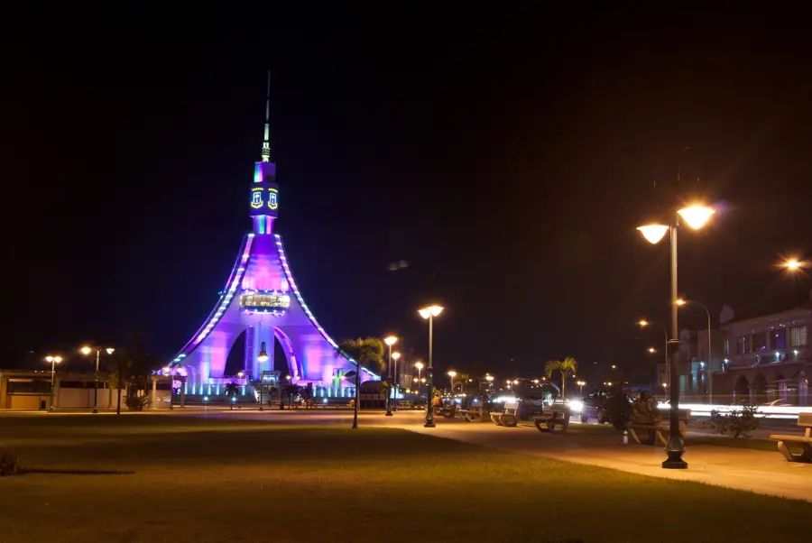
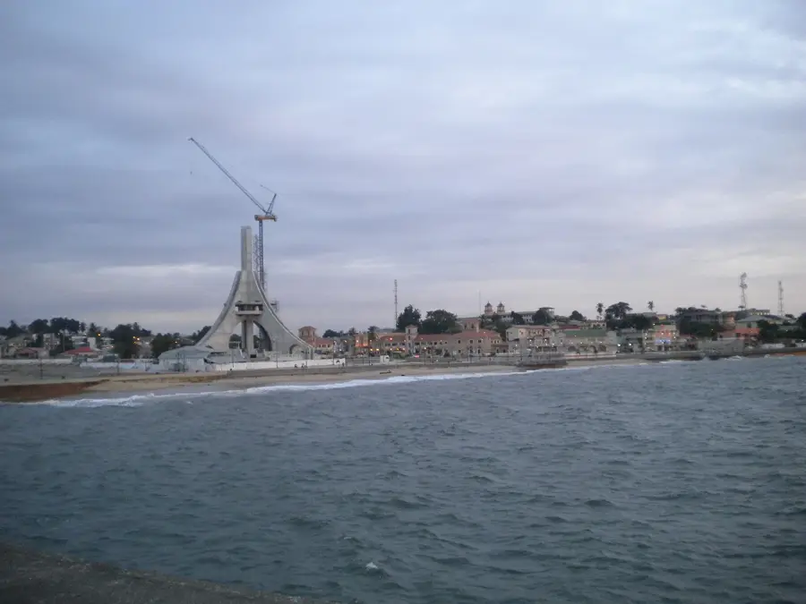
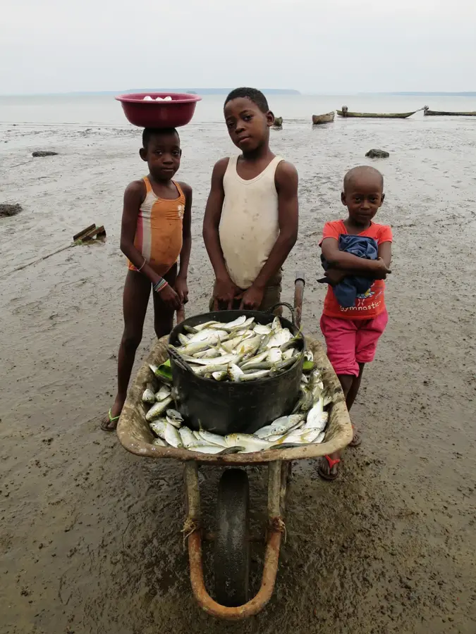
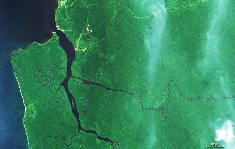
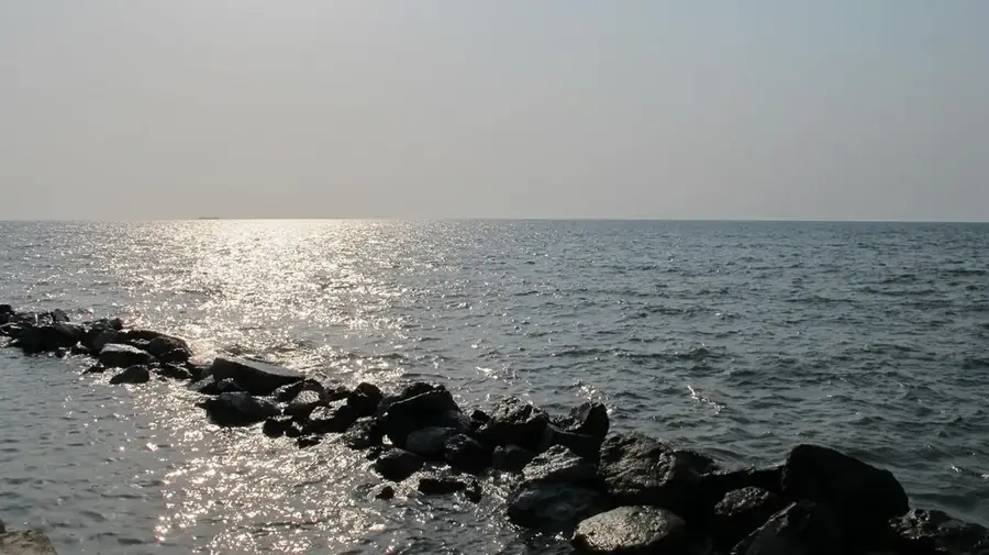
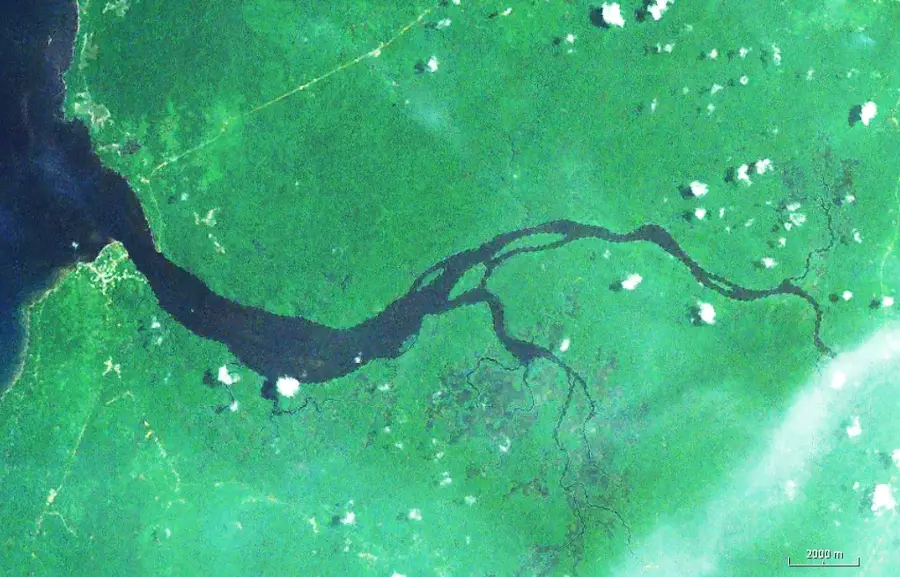
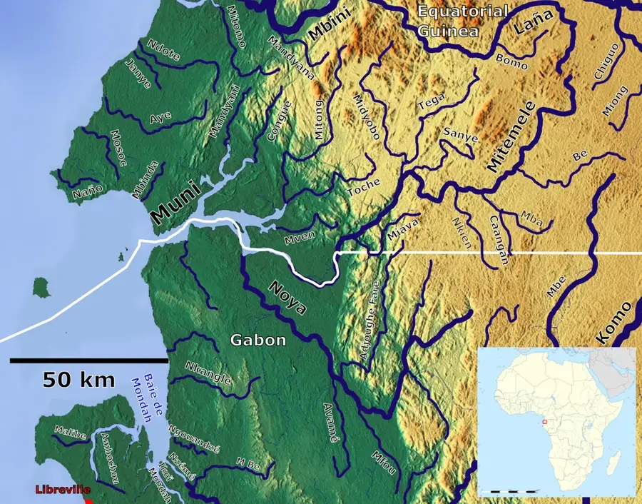
The Mbini Estuary is the dynamic mouth of the Benito River where it meets the Atlantic Ocean in the Litoral Province. This vast brackish water zone is characterized by shifting sandbars, extensive mangrove fringes, and a powerful tidal exchange that creates a highly productive environment. The estuary is a critical center for the regional fishing industry, providing an abundance of crustaceans and a wide variety of fish essential for the local diet. The Mbini Bridge, a major infrastructure feat completed in 2012, spans the estuary for 1.8 kilometers, providing a vital link for the coastal highway. It is a site of great natural beauty where the river's fresh water mixes with the Gulf of Guinea. The estuary also serves as a refuge for endangered species like the West African manatee and various migratory water birds, highlighting its ecological importance.
- Location: Equatorial Guinea
- Top sights: Bolondo · Mbini
- Nearby: Bitica (17 km)
Best time to visit & climate
The most pleasant time to visit is Jun–Aug.
| Jan | Feb | Mar | Apr | May | Jun | Jul | Aug | Sep | Oct | Nov | Dec | |
|---|---|---|---|---|---|---|---|---|---|---|---|---|
| Avg °C | 27 | 27 | 28 | 28 | 27 | 26 | 25 | 25 | 26 | 26 | 26 | 27 |
| Rain mm | 199 | 185 | 288 | 267 | 219 | 70 | 32 | 48 | 158 | 378 | 386 | 222 |
📋 Practical info
Geography
Facts
- The dynamic Atlantic mouth of the 338 km long Benito River.
- A productive zone of brackish water and sandbar formations.
- Features important mangrove ecosystems along its banks.
- Spanned by the 1.8 km long Mbini Bridge, completed in 2012.
- Critical sanctuary for the endangered West African manatee.
- Primary center for the regional harvest of saltwater fish.
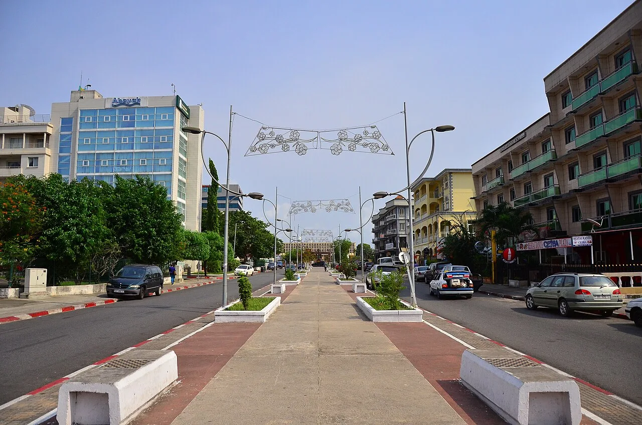
Explore nearby
Notable places around
Route planner — Car & Motorhome
Where do you start? We build the route here, with stops and country notes along the way.
© OpenStreetMap contributors · OpenRouteService
Sights in the town Mbini Estuary (2)
Sights nearby
Frequently asked questions
What is the Mbini Estuary?
Can you cross the bridge over the estuary?
Are there beaches in Mbini?
Can you eat fish there?
How do you get from Bata to Mbini?
Mbini Estuary: where is it located?
Mbini Estuary: what is there to see?
Mbini Estuary: when is the best time to visit?
Mbini Estuary: why is it worth visiting?

Nearby cities


History & landmarks

Nature
More places