Plizio Visual Lab
Qattara Escarpment

Weather…
Water temperature…
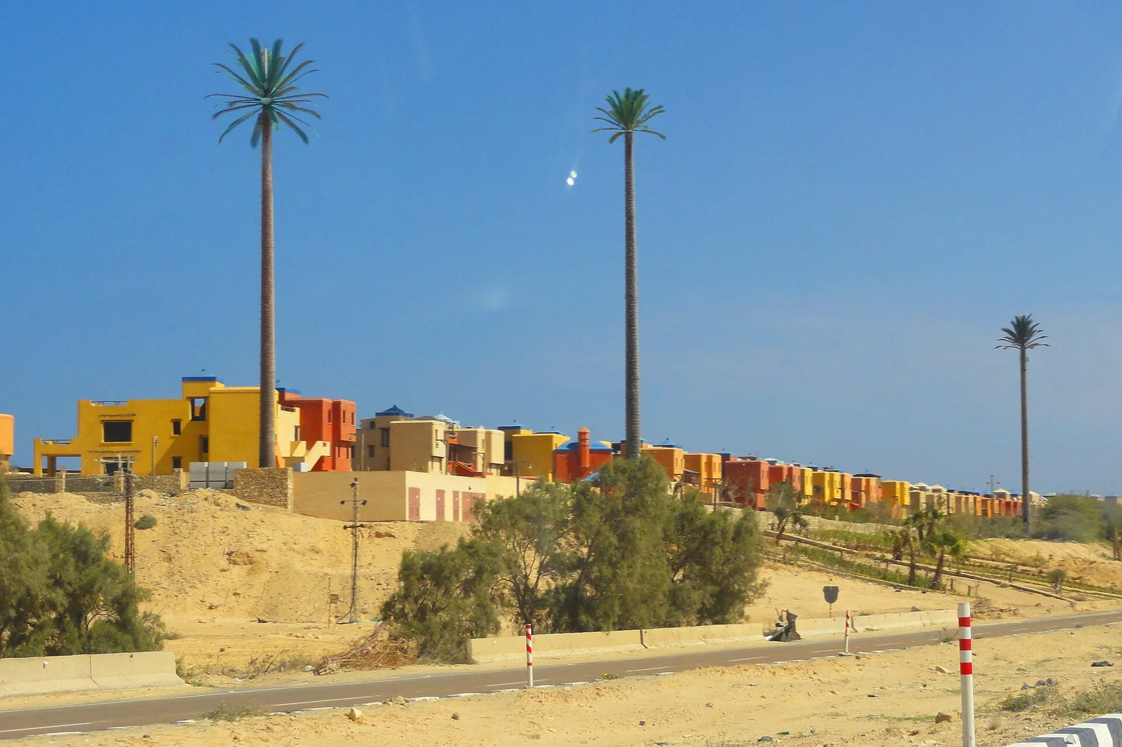
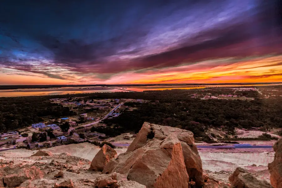
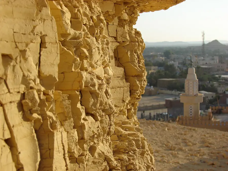
The Qattara Escarpment marks the steep northern rim of the Qattara Depression, the lowest point in Egypt located within the Libyan Desert. This prominent geological feature drops from the surrounding limestone plateaus to as low as 133 meters below sea level. The escarpment is primarily composed of Eocene-era limestone and sandstone, shaped by millions of years of wind and water erosion. Historically, the region gained strategic significance during World War II, as the impassable cliffs and salt marshes of the depression formed a natural barrier that protected the Allied flank at El Alamein. The landscape is extremely hostile and virtually uninhabited, yet it serves as a refuge for rare species such as the cheetah and the slender-horned gazelle, which survive in isolated canyons. Numerous scientific proposals have been made to utilize the depression for hydroelectric power by channeling seawater from the Mediterranean, though none have been realized. The Qattara Escarpment remains a powerful testament to Egypt's extreme topographical contrasts.
Best time to visit & climate
The most pleasant time to visit is Apr, Oct, Nov.
| Jan | Feb | Mar | Apr | May | Jun | Jul | Aug | Sep | Oct | Nov | Dec | |
|---|---|---|---|---|---|---|---|---|---|---|---|---|
| Avg °C | 13 | 14 | 18 | 21 | 26 | 29 | 31 | 31 | 28 | 24 | 19 | 15 |
| Rain mm | 11 | 11 | 3 | 5 | 1 | 0 | 0 | 0 | 0 | 3 | 9 | 8 |
📋 Practical info
Geography
Facts
- Rim of the Qattara Depression, which drops to 133 m below sea level.
- The depression covers an area of approximately 19,605 sq km.
- Geologically composed of limestone formations from the Eocene era.
- Formed a natural defensive flank during the Battle of El Alamein.
- Virtually uninhabited due to extreme aridity and hypersaline lakes.
- Habitat for one of the last remaining cheetah populations in Egypt.
Explore nearby
Notable places around
Route planner — Car & Motorhome
Where do you start? We build the route here, with stops and country notes along the way.
© OpenStreetMap contributors · OpenRouteService
Sights nearby
Frequently asked questions
What is the Qattara Edge?
How far below sea level is the depression?
Can you visit the region?
Are there oases nearby?
What is the climate like there?
Qattara Escarpment: where is it located?
Qattara Escarpment: when is the best time to visit?
Qattara Escarpment: why is it worth visiting?

Nearby cities