Plizio Visual Lab
Illiniza
Weather…
Water temperature…
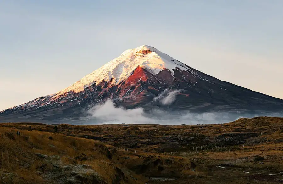
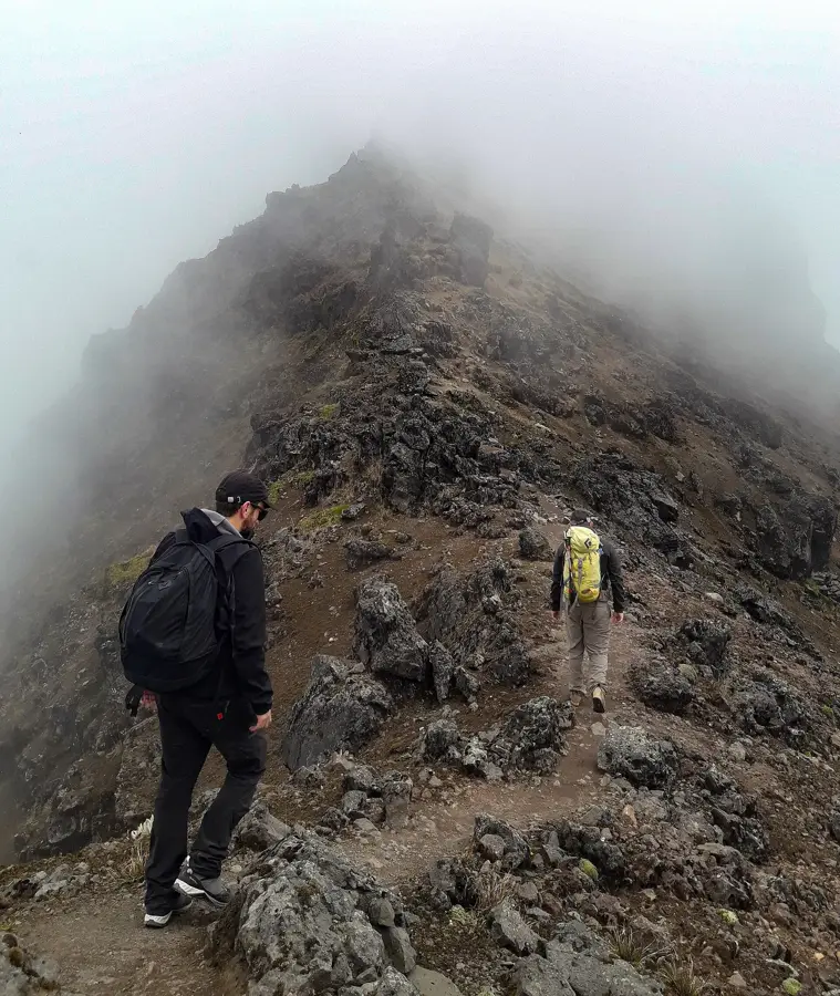
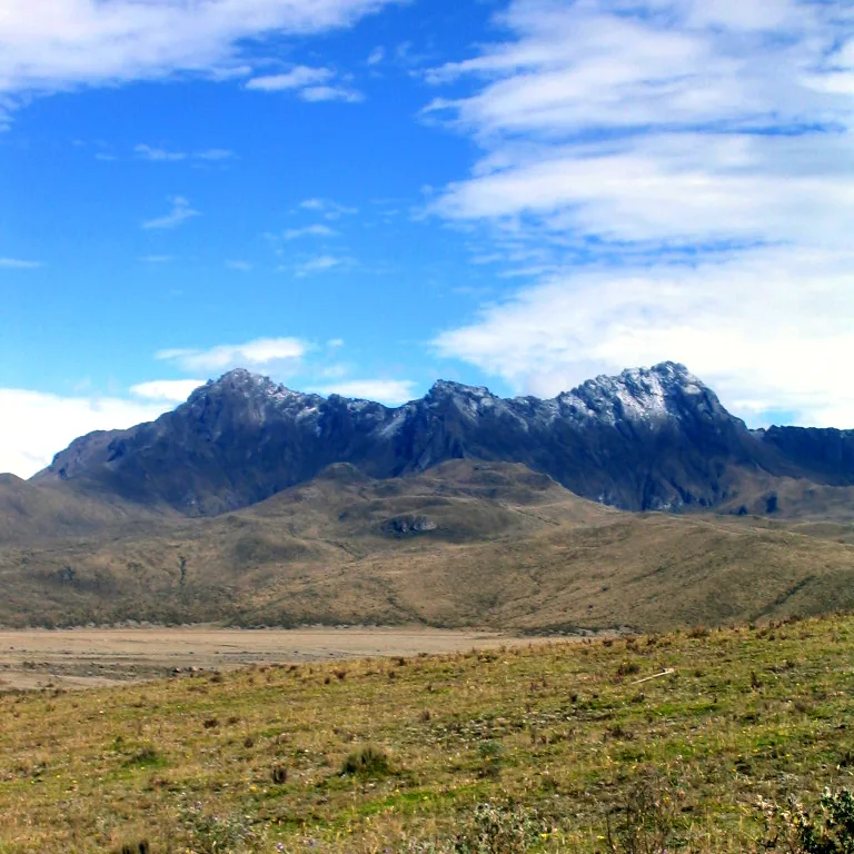
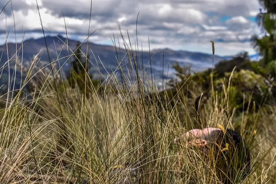
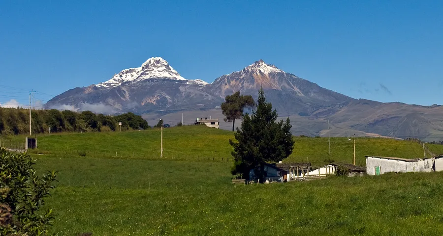
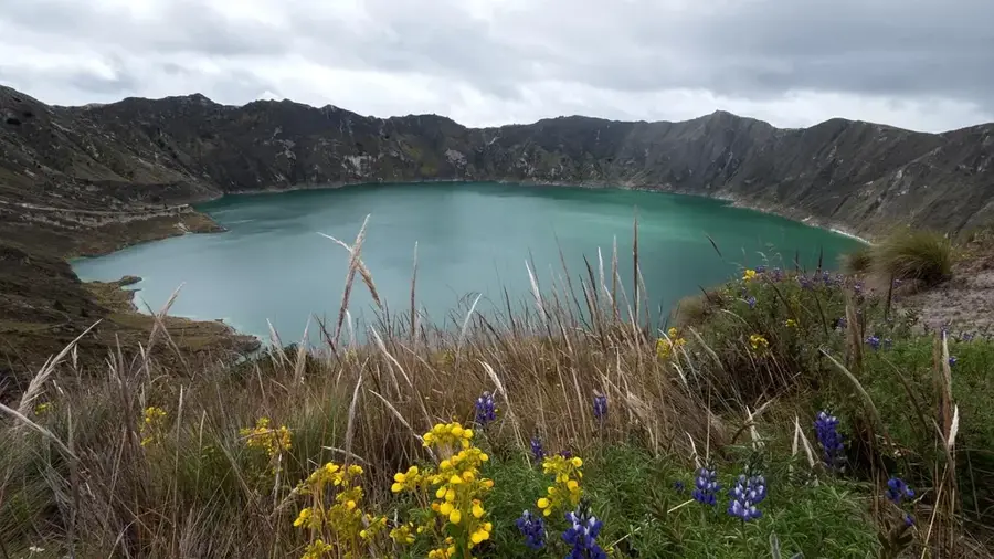
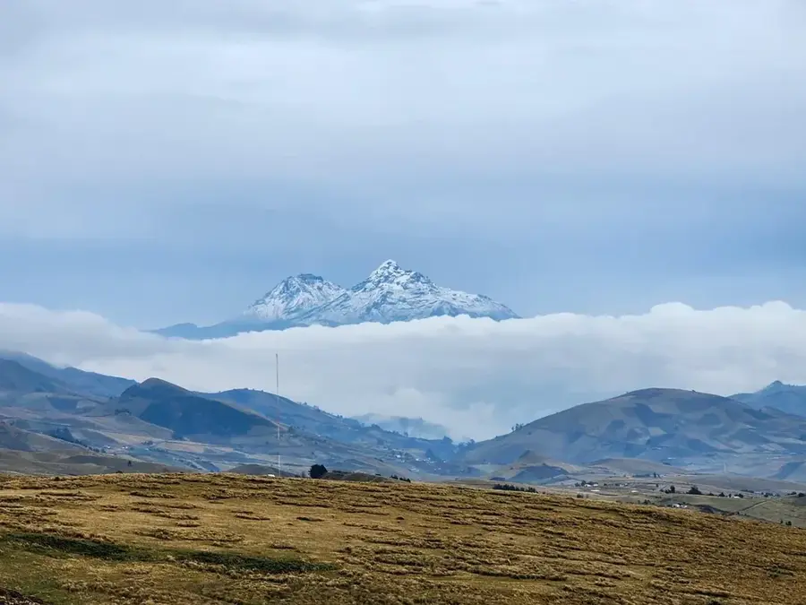
The Illinizas are a striking pair of volcanic twin peaks located south of Quito, consisting of the snow-capped Illiniza Sur (5,248 m) and the rocky Illiniza Norte (5,126 m). Originally part of a single, massive volcano, the peaks were separated over time by intense erosion and tectonic activity. Illiniza Sur is a challenging technical ice climb suitable only for experienced mountaineers due to its steep glaciers, whereas Illiniza Norte is a popular trekking peak and an excellent site for altitude acclimatization before attempting Cotopaxi or Chimborazo. The peaks are located within the Los Illinizas Ecological Reserve, a protected area spanning 149,900 hectares that safeguards diverse habitats from cloud forests to high-altitude paramos. The region is also geologically linked to the remarkable Quilotoa crater lake located nearby. Biodiversity in the reserve is high, featuring species such as the Andean cock-of-the-rock, mountain tapirs, and numerous types of hummingbirds.
Explore on the map
How well do you know Ecuador?
Find cities, landscapes and regions in 10 varied challenges on the interactive map.
Your journey, your memory
A postcard from Illiniza
Turn your own photo into a personal postcard with a local stamp. Free and no sign-up required.
Create a postcard- Location: Ecuador
- Nearby: Saquisilí (20 km)
Best time to visit & climate
The most pleasant time to visit is Jul–Sep.
| Jan | Feb | Mar | Apr | May | Jun | Jul | Aug | Sep | Oct | Nov | Dec | |
|---|---|---|---|---|---|---|---|---|---|---|---|---|
| Avg °C | 14 | 14 | 14 | 15 | 15 | 14 | 14 | 14 | 14 | 14 | 14 | 14 |
| Rain mm | 132 | 142 | 169 | 168 | 117 | 63 | 43 | 33 | 41 | 80 | 92 | 100 |
📋 Practical info
Geography
Facts
- Illiniza Sur is the higher peak at 5,248 meters.
- Illiniza Norte stands at an elevation of 5,126 meters.
- The first ascent of the south peak was in 1880 by the Carrel brothers.
- The Los Illinizas Ecological Reserve was established in 1996.
- The peaks are located approximately 55 kilometers southwest of Quito.
- Illiniza Norte is frequently used for high-altitude acclimatization.
Explore nearby
Notable places around
Route planner — Car & Motorhome
Where do you start? We build the route here, with stops and country notes along the way.
© OpenStreetMap contributors · OpenRouteService
Sights in the town Illiniza (1)
Sights nearby
Frequently asked questions
What is the difference between Illiniza Norte and Sur?
Do you need crampons for Illiniza Norte?
Is there a place to stay overnight?
How long does it take to climb Illiniza Norte?
Are the Illinizas good for acclimatization?
Illiniza: where is it located?
Illiniza: when is the best time to visit?
Illiniza: why is it worth visiting?

Nearby cities
History & landmarks



Nature
More places