Plizio Visual Lab
Llanganates National Park
Weather…
Water temperature…
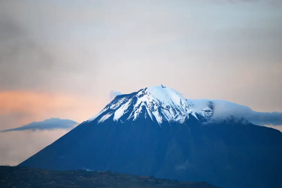
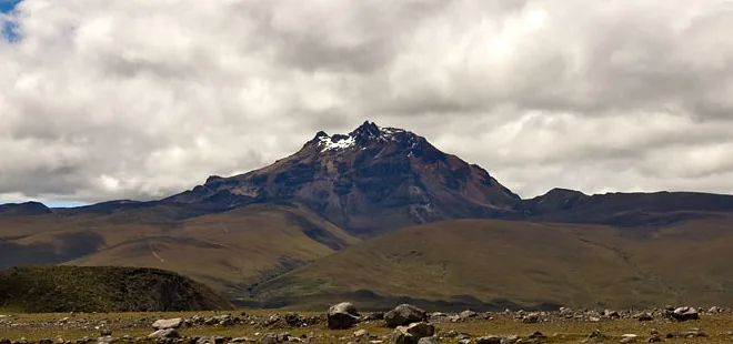
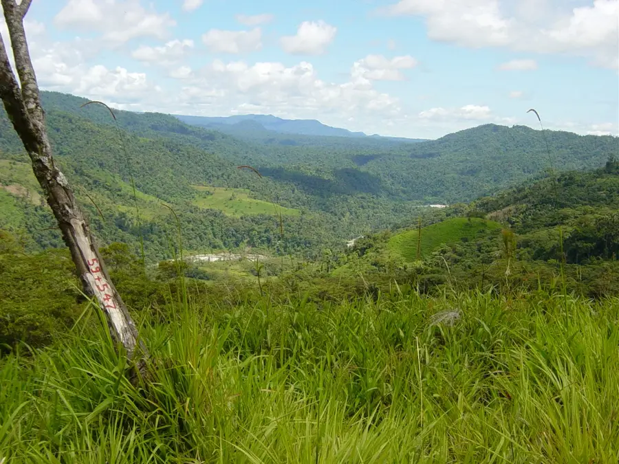
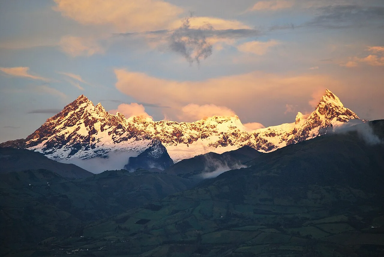
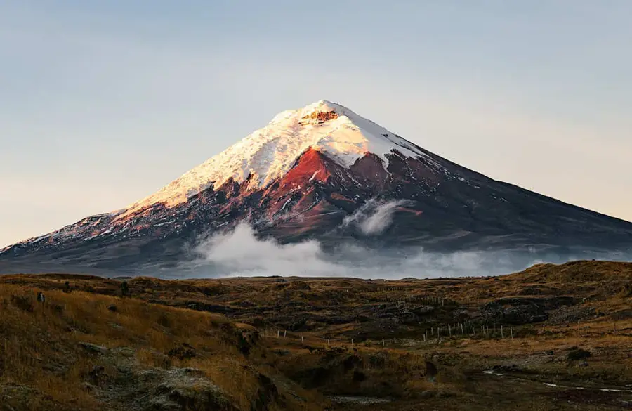
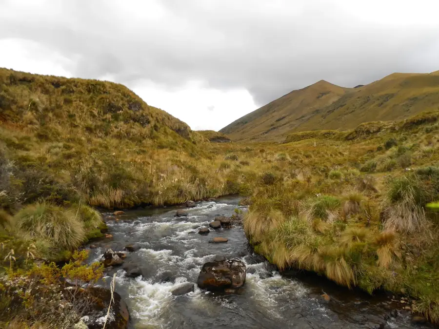
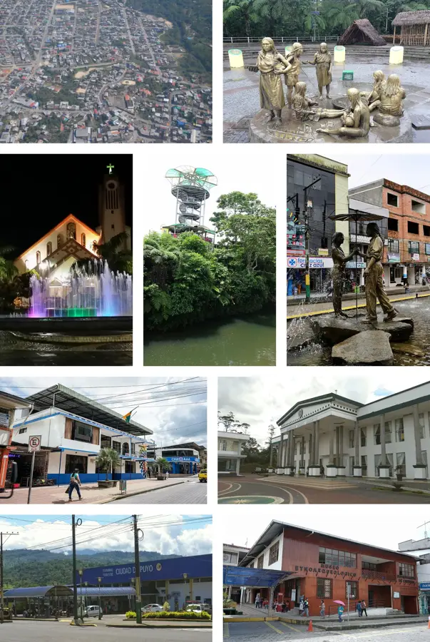
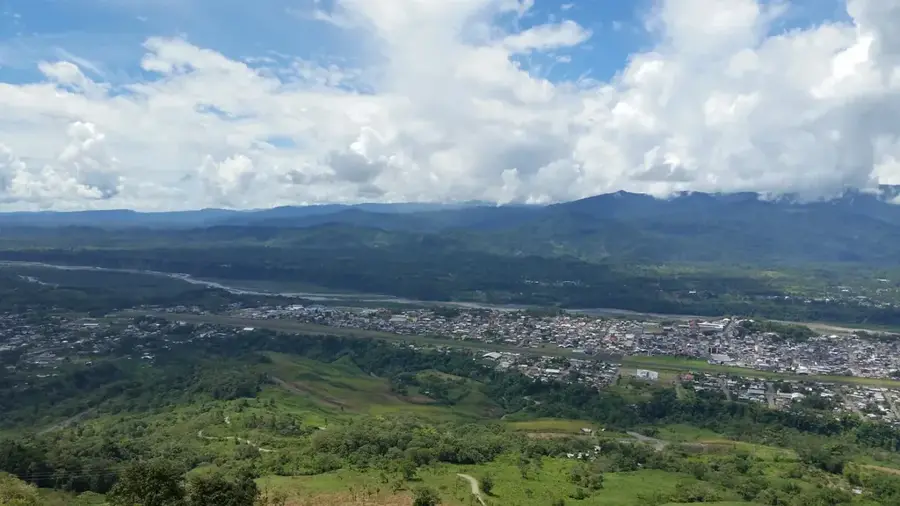
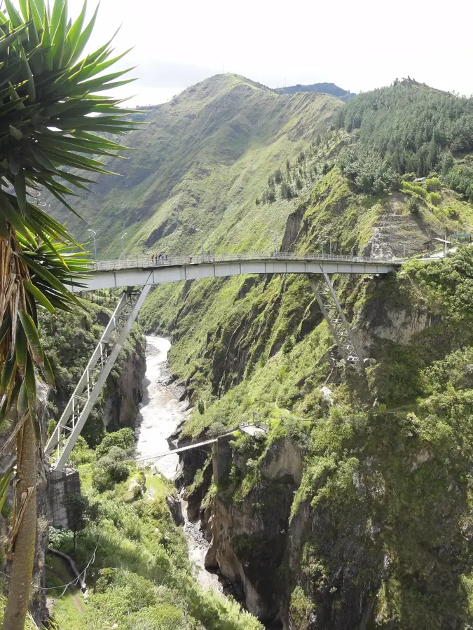
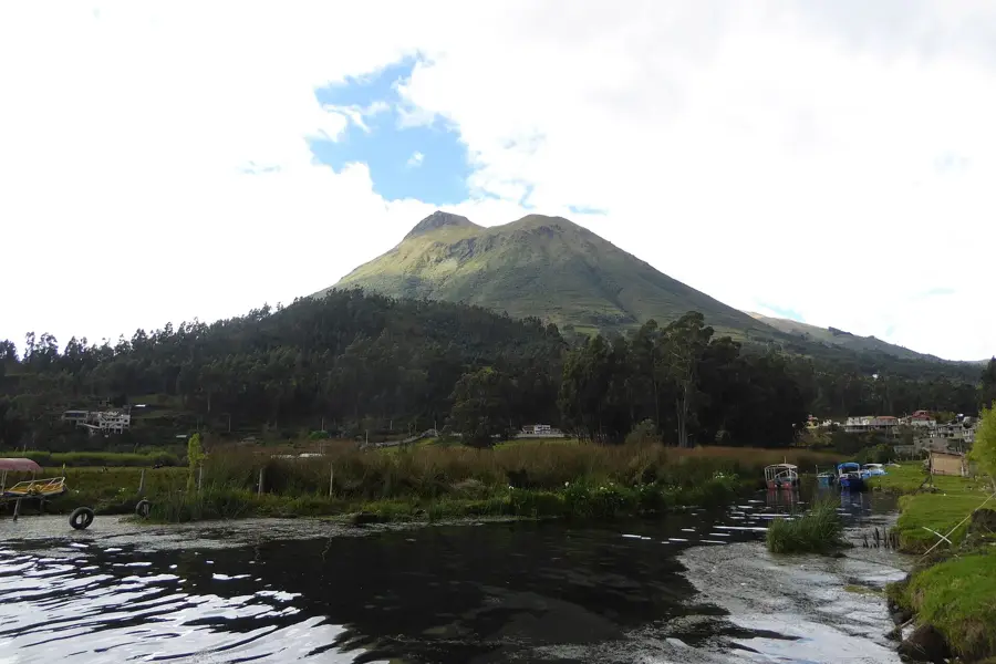
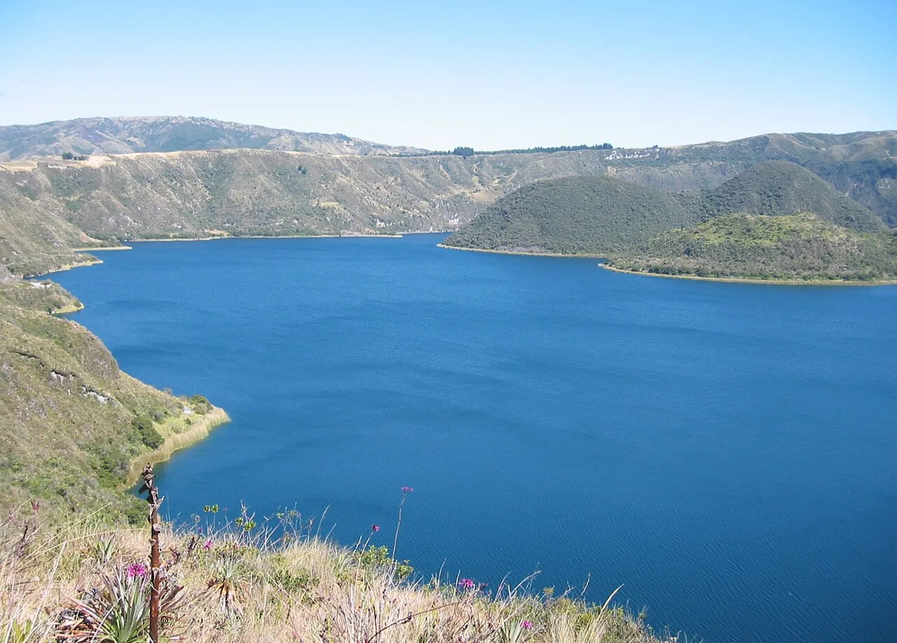
Llanganates National Park spans the provinces of Cotopaxi, Tungurahua, Pastaza, and Napo, and is one of the most inaccessible and mysterious regions in Ecuador. Established in 1996, the park is world-famous for the legend of the 'Treasure of the Llanganates,' where Inca general Rumiñahui supposedly hid vast quantities of gold intended for Atahualpa's ransom. The topography is extremely rugged, characterized by sharp peaks, deep valleys, and countless high-altitude lagoons. The climate is frequently misty and rainy, fostering the development of extensive moorlands (páramo) and montane cloud forests. These wetlands act as giant sponges, serving as critical water reservoirs for agriculture and hydroelectric power in the surrounding Andean valleys. Despite the harsh conditions, the park supports a rich array of wildlife, including the Andean condor, the spectacled bear, and the mountain tapir. Due to the difficult terrain, scientific exploration remains limited, allowing the park to serve as a pristine sanctuary for undisturbed ecological processes.
- Location: Ecuador
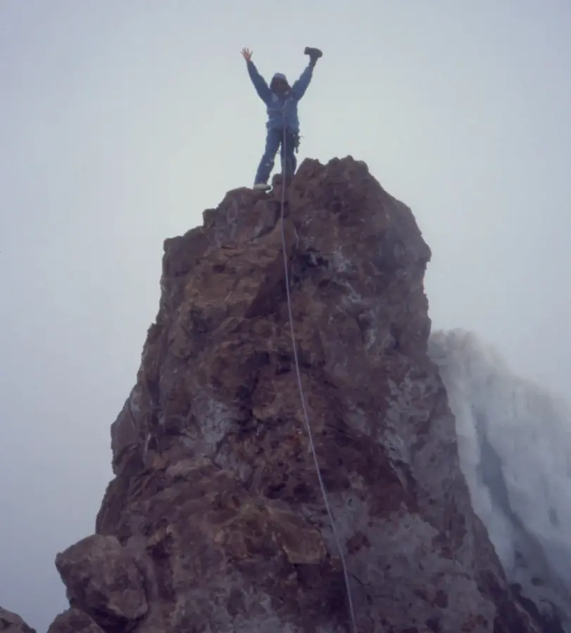
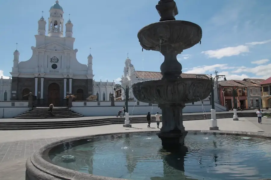
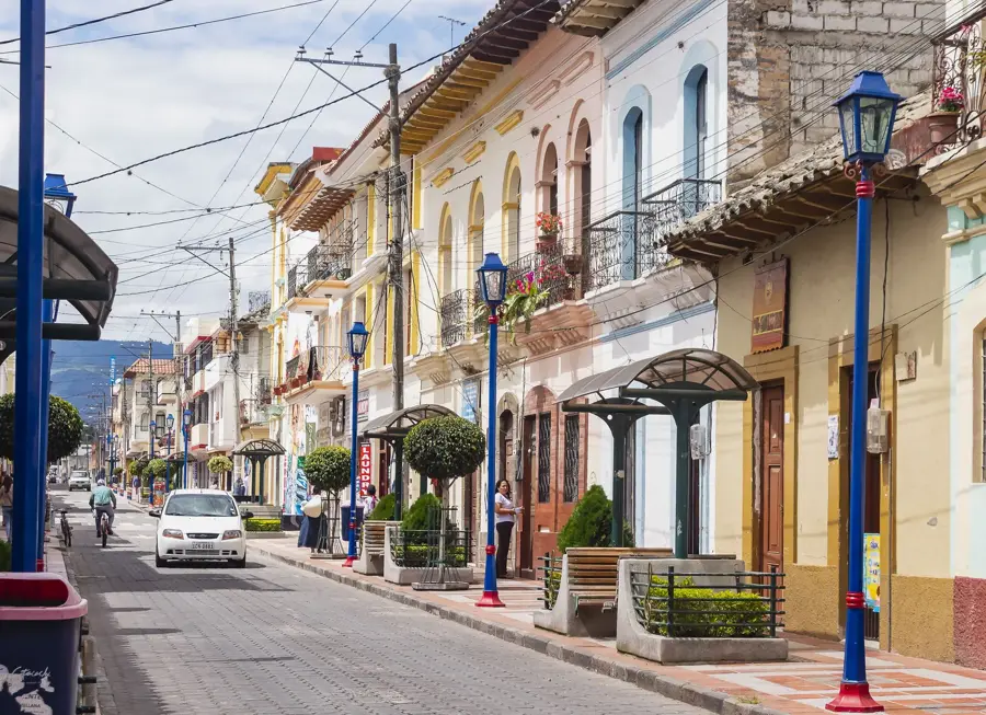
- Top sights: Cerro Hermoso · Mirador · Arista
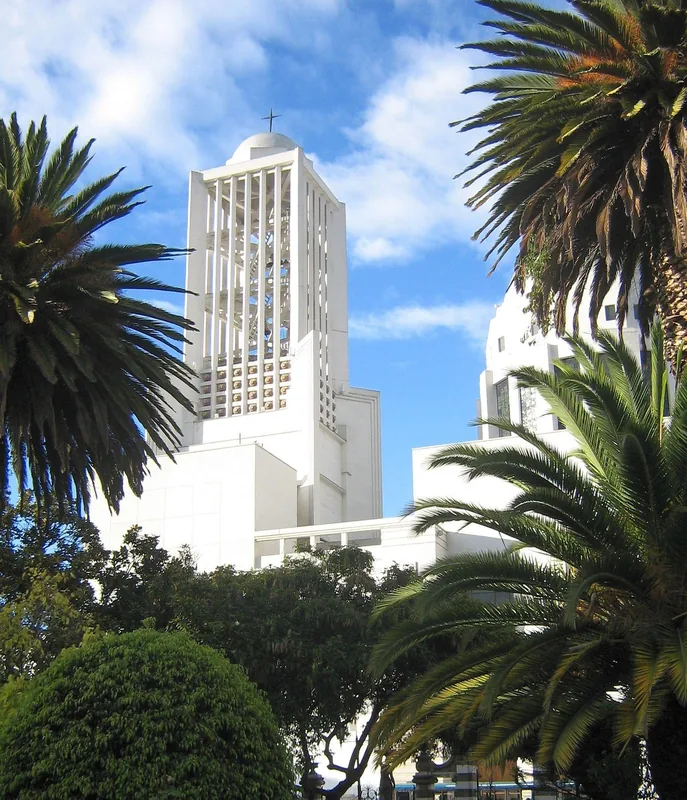
- Nearby: Sangolquí (29 km)
Best time to visit & climate
The most pleasant time to visit is Jan, Aug, Sep.
| Jan | Feb | Mar | Apr | May | Jun | Jul | Aug | Sep | Oct | Nov | Dec | |
|---|---|---|---|---|---|---|---|---|---|---|---|---|
| Avg °C | 14 | 14 | 14 | 13 | 13 | 12 | 11 | 12 | 12 | 13 | 14 | 14 |
| Rain mm | 153 | 158 | 184 | 201 | 179 | 155 | 123 | 100 | 97 | 153 | 159 | 155 |
📋 Practical info
Geography
Facts
- The park was officially established on January 18, 1996.
- It covers a total area of approximately 2,197 square kilometers.
- The highest peak within the park is Cerro Hermoso, standing at 4,571 meters.
- The area is divided into a western Puna zone and an eastern forested zone.
- Over 80 lagoons have been identified in the high-altitude reaches of the park.
- The park takes its name from the Llanganates mountain range.
Explore nearby
Notable places around
Route planner — Car & Motorhome
Where do you start? We build the route here, with stops and country notes along the way.
© OpenStreetMap contributors · OpenRouteService
Sights in the town Llanganates National Park (3)
Sights nearby
Frequently asked questions
Why is Llanganates famous?
What is the terrain like?
Can you hike there alone?
What flora can be found there?
How is the access to the park?
Llanganates National Park: where is it located?
Llanganates National Park: what is there to see?
Llanganates National Park: when is the best time to visit?
Llanganates National Park: why is it worth visiting?

Nearby cities

History & landmarks


Nature
More places