Plizio Visual Lab
Pedieos River
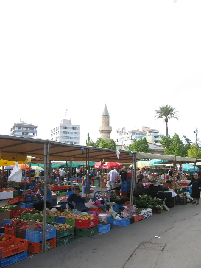
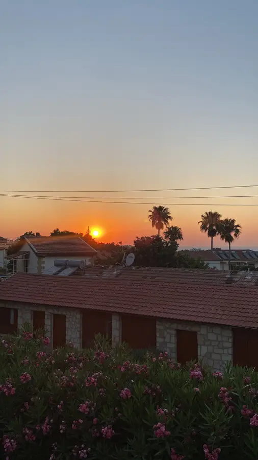
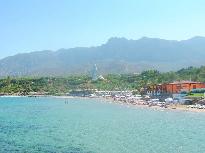
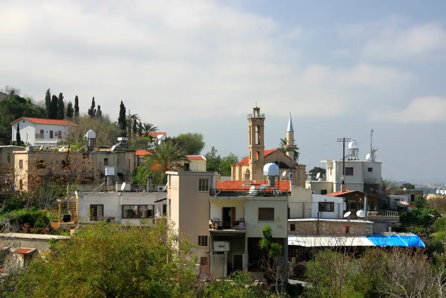
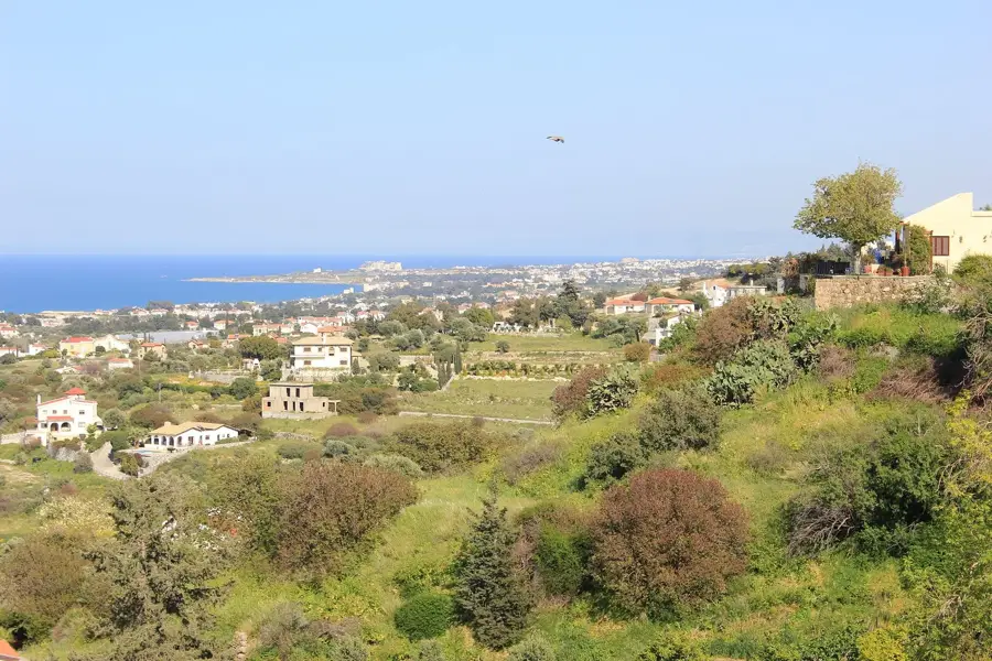
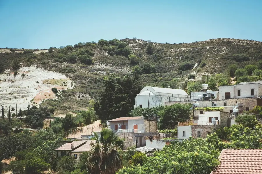
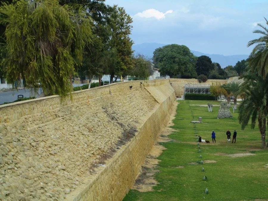
Pedieos River shapes the landscape, farming patterns and settlement layout in Cyprus along much of its course. The longest river in Cyprus, flowing from the Troodos Mountains through Nicosia. From its headwaters through the middle reaches to the mouth, the river connects upland zones with coastal plains, weaving a network of gorges, floodplains and gallery woodland that acts as a corridor for many species. Walkers and cyclists find scenic stretches lined with bridges, old mills and irrigation works that make the importance of water on the island tangible. In dry months the bed reveals the classic Mediterranean rhythm, while winter and spring often bring noticeably stronger flow. The watercourse remains a quiet but vital lifeline for the region and a rewarding focus for nature-based itineraries.
- Location: Cyprus
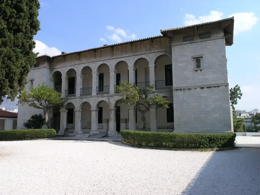
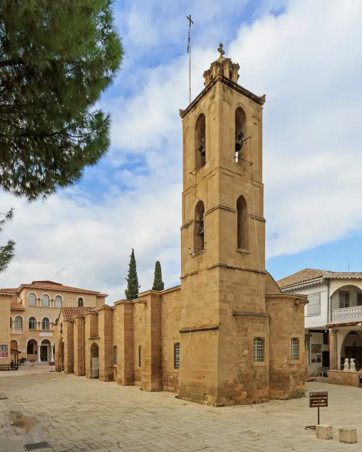
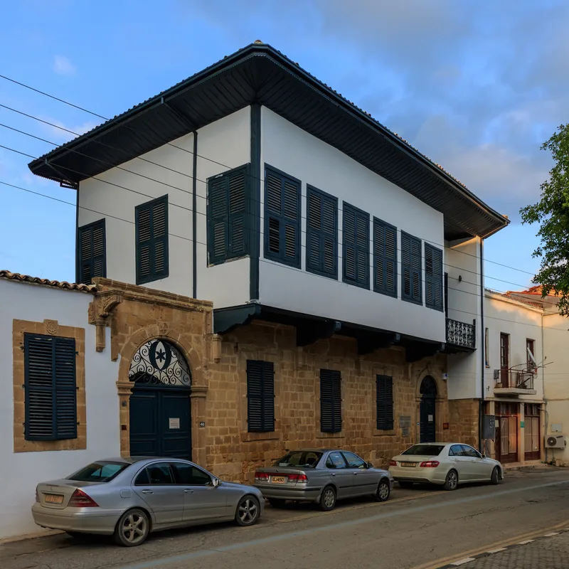
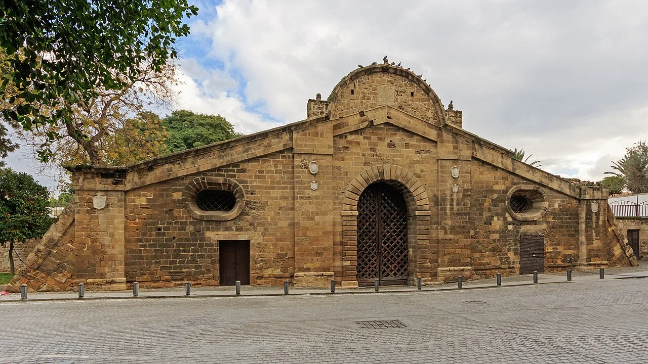
- Top sights: Çağlayan Parkı · Yenicami · Lusignan house
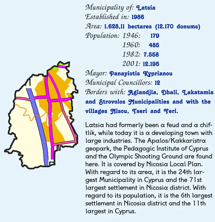
- Nearby: Latsia (7 km)
Best time to visit & climate
The most pleasant time to visit is Apr, May, Nov.
| Jan | Feb | Mar | Apr | May | Jun | Jul | Aug | Sep | Oct | Nov | Dec | |
|---|---|---|---|---|---|---|---|---|---|---|---|---|
| Avg °C | 14 | 14 | 16 | 19 | 23 | 27 | 30 | 30 | 28 | 24 | 20 | 16 |
| Rain mm | 72 | 42 | 23 | 13 | 9 | 2 | 1 | 1 | 6 | 15 | 30 | 71 |
📋 Practical info
Geography
Facts
- Pedieos River connects upland zones with the coastal plain in Cyprus.
- Headwaters, middle reaches and mouth create varied habitats.
- Gorges, floodplains and gallery woodland act as ecological corridors.
- Bridges, old mills and irrigation works line its course.
- Summer flow drops in line with typical Mediterranean rivers.
- Walkers and cyclists find scenic stretches along the banks.
- The river remains a central lifeline for the region.
Explore nearby
Notable places around
Route planner — Car & Motorhome
Where do you start? We build the route here, with stops and country notes along the way.
© OpenStreetMap contributors · OpenRouteService
Sights in the town Pedieos River (9)
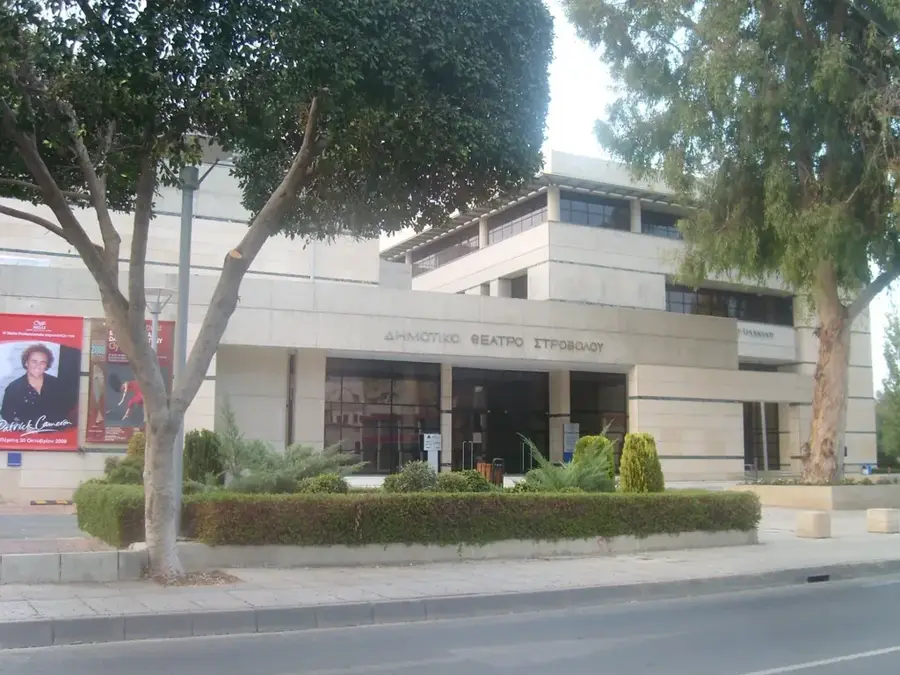
Nicosia Art Center
Art center in Nicosia, hosting exhibitions and cultural events.
Church of St.Katerina (14 c.)
14th-century church in Nicosia.
Centre of Visual Arts and Research🏛 museum
Museum in Nicosia, focusing on visual arts and research.
Art Gallery
Art gallery in Nicosia, featuring rotating exhibitions.
Medieval Lapidary Museum🏛 museum
Museum in a 15th-century Venetian building, displaying medieval stonework, coats of arms, and columns.
Sights nearby
Frequently asked questions
How long is the Pedieos River?
Can you walk along the river?
Does the river have water in summer?
What animals can be spotted there?
Is the river park illuminated?
Pedieos River: where is it located?
Pedieos River: what is there to see?
Pedieos River: when is the best time to visit?
Pedieos River: why is it worth visiting?

Nearby cities
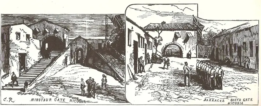
History & landmarks
More places