Plizio Visual Lab
Gamboma

ℹ️Practical info — Gamboma
▾
🌤 Weather — 5 days
📍 Nearby
Sights nearby
💡 Tips
- An excellent stopover town on National Road 2, linking the north and south.
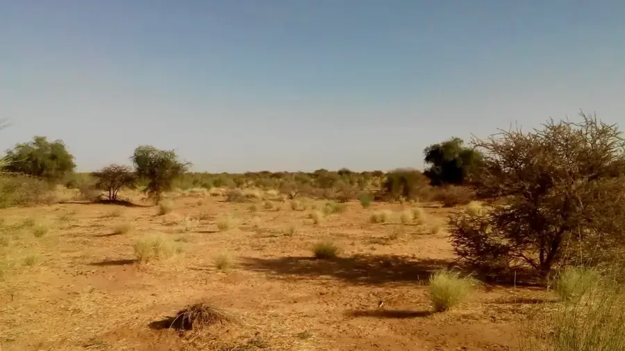
- The climate on the plateau is slightly different; evenings can be cooler.
- If traveling by bus, be prepared for quick stops where vendors swarm the vehicle.
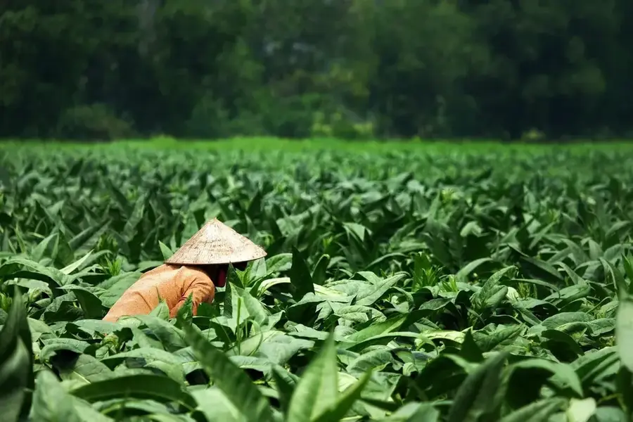
- The town is famous for its yams; they are a must-try when visiting.
🍽 Food
The local pride, often served boiled or fried as a side dish.
Grilled meat skewers sold by evening street vendors.
Enjoy a cold Ngok beer at a roadside bar.
🛍 Shopping · 🧘 Quiet spots
The best place to buy yams directly from the farmers.
Regional trade goods, fresh vegetables, and basic textiles.
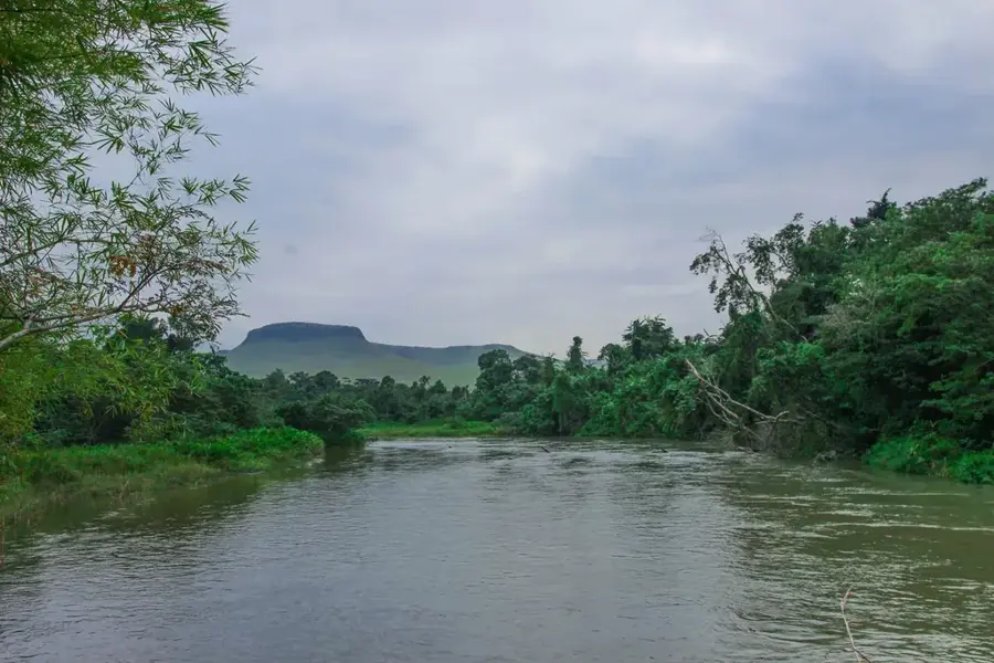
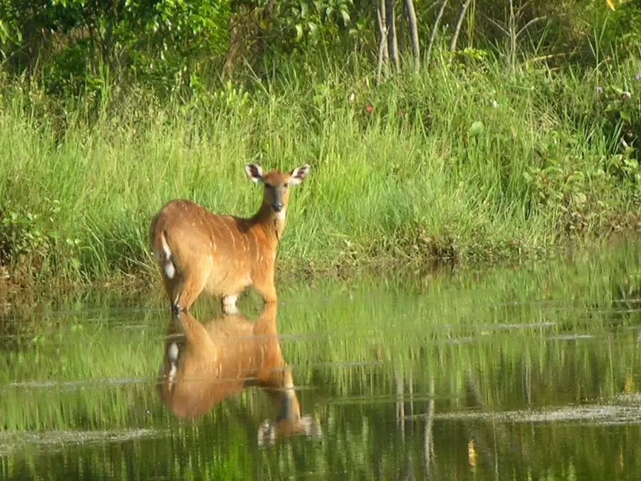
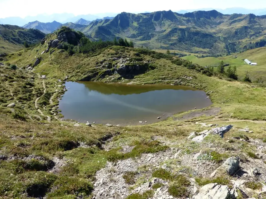
Open landscapes offering wide views of the surroundings.
Quiet residential areas away from the busy N2 road.
Water temperature…
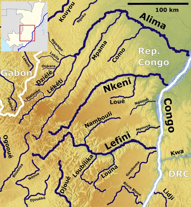
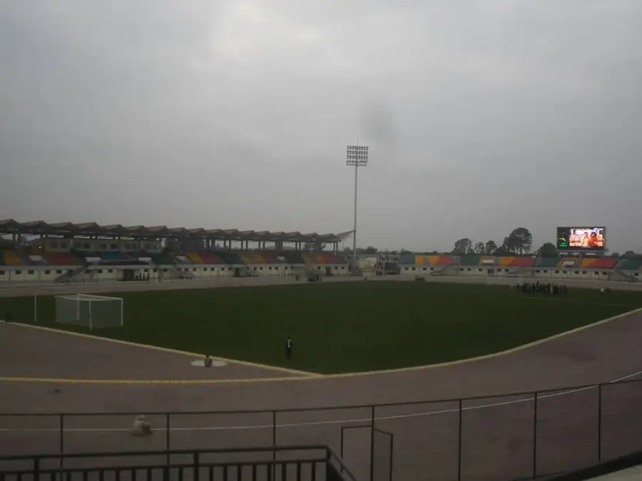
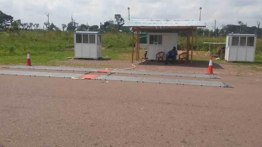
Gamboma is a strategically important town in the Plateaux Department of the Republic of the Congo, located roughly halfway between Brazzaville and Owando. The town is nationally renowned for its agricultural productivity, particularly the large-scale cultivation of yams, which are a dietary staple exported to the capital. Due to its position at a major road intersection, Gamboma has evolved into a dynamic commercial hub where goods from the northern and southern parts of the country are exchanged. The local economy is further bolstered by fishing in nearby waterways and small-scale retail trade. The population predominantly belongs to the Téké ethnic group, whose cultural heritage shapes the town's social structure. Gamboma possesses essential social facilities such as schools and medical centers that also serve the surrounding rural villages. In recent years, improvements to the N2 national highway have significantly enhanced the town's connectivity and spurred economic growth in the Plateaux region.
- Location: Congo - Brazzaville
- Nearby: Allembé (36 km)
- Population: ~26.718 (2025)
Best time to visit & climate
The most pleasant time to visit is Jun–Aug.
| Jan | Feb | Mar | Apr | May | Jun | Jul | Aug | Sep | Oct | Nov | Dec | |
|---|---|---|---|---|---|---|---|---|---|---|---|---|
| Avg °C | 26 | 27 | 26 | 26 | 26 | 26 | 27 | 27 | 26 | 26 | 26 | 26 |
| Rain mm | 129 | 144 | 176 | 167 | 145 | 57 | 22 | 60 | 148 | 217 | 221 | 187 |
Geography
Facts
- A primary center for yam cultivation and export within the Congo.
- Positioned along the strategic N2 national highway route.
- The population consists predominantly of members of the Téké ethnic group.
- Situated at an average elevation of approximately 380 meters.
- An important regional market for freshwater fish from nearby rivers.
- Located roughly 315 kilometers north of the capital city, Brazzaville.
Explore nearby
Notable places around
Route planner — Car & Motorhome
Where do you start? We build the route here, with stops and country notes along the way.
© OpenStreetMap contributors · OpenRouteService
Frequently asked questions
What is Gamboma known for?
How is the city situated?
Is there tourist infrastructure?
How far is it to Brazzaville?
What festivals are celebrated?
Gamboma: where is it located?
Gamboma: when is the best time to visit?
Gamboma: why is it worth visiting?

Nearby cities

Nature
More places