Plizio Visual Lab
Jimilimé Highlands

Weather…
Water temperature…
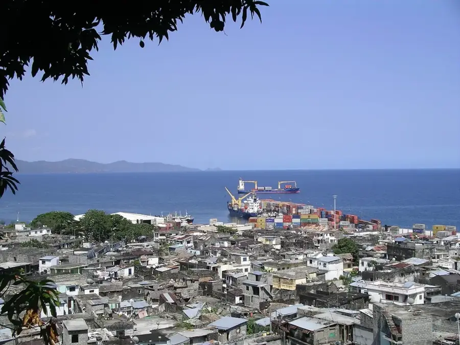
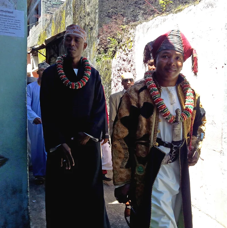
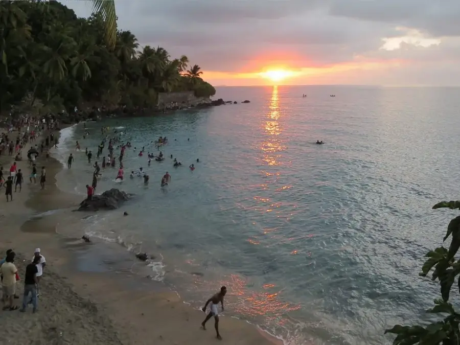
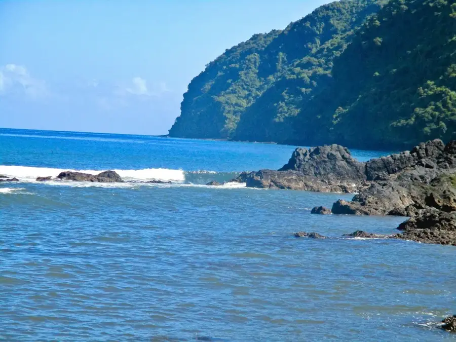
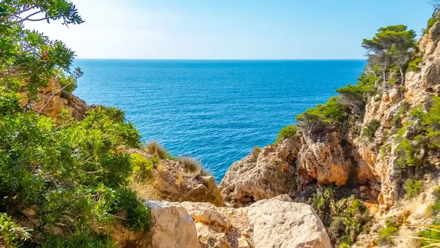
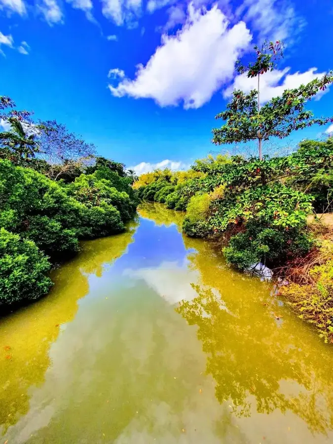
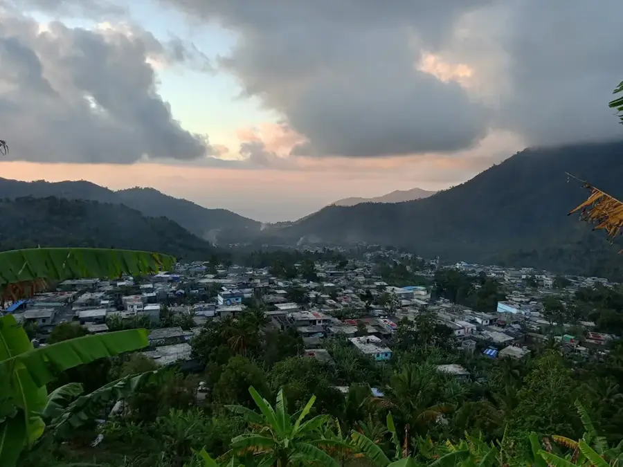
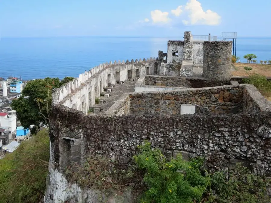
The Jimilimé Highlands is a remote plateau in the central mountain massif of Anjouan island, captivating with its steep slopes and fertile valleys. This region is the agricultural heart of the island, where cloves, ylang-ylang, and vanilla are grown in a microclimate zone unique within the Comoros. Geologically, it is a highly eroded volcanic landscape whose deep basaltic soils support dense vegetation. Jimilimé is known for its traditional way of life, which has been preserved for centuries due to its difficult accessibility. The highlands are also a sanctuary for rare animal species such as Livingstone's fruit bat, which nests in the remaining forest fragments. The landscape is characterized by numerous waterfalls and mountain streams that ensure the water supply for the lower-lying towns. Hikers value the region for its cooler temperatures and spectacular cloud forests, often shrouded in mist. The preservation of the Jimilimé Highlands is critical for the protection of Anjouan's water catchment areas. Sustainable agriculture efforts aim to minimize soil erosion in this steep relief zone.
Best time to visit & climate
The most pleasant time to visit is Feb, Mar, Dec.
| Jan | Feb | Mar | Apr | May | Jun | Jul | Aug | Sep | Oct | Nov | Dec | |
|---|---|---|---|---|---|---|---|---|---|---|---|---|
| Avg °C | 9 | 9 | 9 | 9 | 8 | 7 | 7 | 6 | 6 | 7 | 7 | 8 |
| Rain mm | 92 | 77 | 95 | 100 | 122 | 114 | 104 | 98 | 82 | 73 | 69 | 76 |
📋 Practical info
Geography
Facts
- The Jimilimé Highlands are situated at an average elevation of 800 to 1,000 meters.
- The region is a major cultivation area for global ylang-ylang production.
- It hosts one of the largest colonies of the rare Livingstone's fruit bat.
- Annual precipitation is among the highest on the island of Anjouan.
- Traditional houses here are often built from local basalt stone and clay.
- Numerous mountain ridges offer views of both sides of the island's coastline.
Explore nearby
Notable places around
Route planner — Car & Motorhome
Where do you start? We build the route here, with stops and country notes along the way.
© OpenStreetMap contributors · OpenRouteService
Sights nearby
Frequently asked questions
What characterizes the Jimilimé Highlands?
How is the climate there?
Can you visit the plantations?
Are there accommodation options?
How do you get to the highlands?
Jimilimé Highlands: where is it located?
Jimilimé Highlands: when is the best time to visit?
Jimilimé Highlands: why is it worth visiting?

Nearby cities

History & landmarks

Nature
More places