Plizio Visual Lab
Malpelo Island
Weather…
Water temperature…
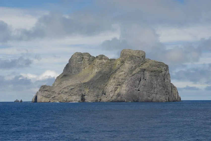
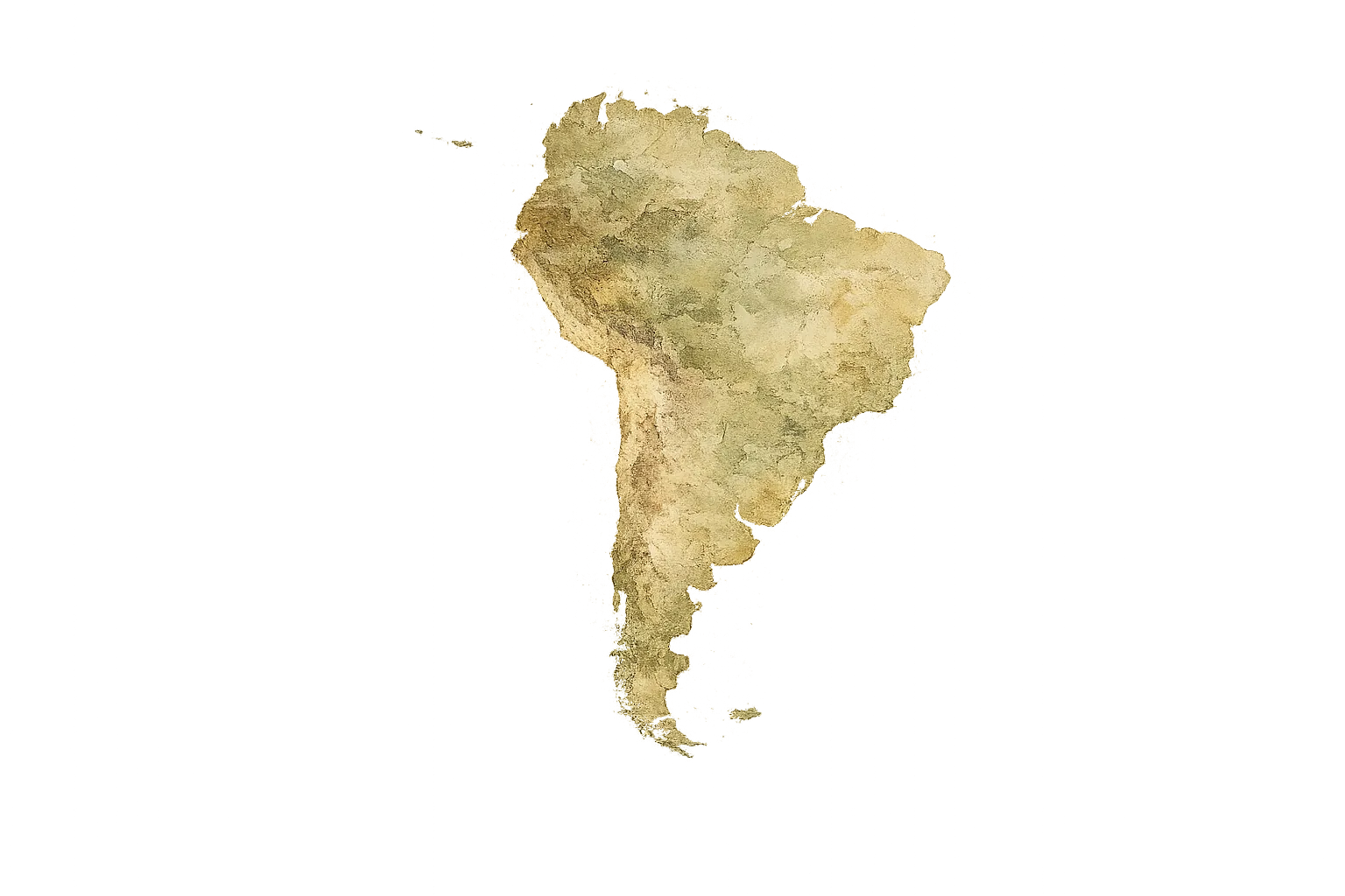
Malpelo Island is a remote volcanic rock situated in the Eastern Pacific Ocean, approximately 500 kilometers west of the Colombian mainland. While the terrestrial area of the island covers only 0.35 square kilometers, the surrounding marine sanctuary encompasses over 27,000 square kilometers of protected waters. Malpelo is the highest peak of a vast underwater ridge, reaching an elevation of 376 meters at Cerro de la Mona. In 1995, it was designated as a Flora and Fauna Sanctuary by the Colombian government, and in 2006, it was inscribed as a UNESCO World Heritage Site. The waters surrounding the island are world-renowned for their exceptional marine biodiversity, particularly as a sanctuary for massive schools of hammerhead and silky sharks, sometimes numbering in the hundreds. Due to its extreme isolation, the island hosts unique endemic terrestrial species, such as the Malpelo lizard and land crabs. There is no permanent civilian population on the island, with only a small military detachment present since 1986 to ensure environmental protection and national sovereignty.
Explore on the map
How well do you know Colombia?
Find cities, landscapes and regions in 10 varied challenges on the interactive map.
Your journey, your memory
A postcard from Malpelo Island
Turn your own photo into a personal postcard with a local stamp. Free and no sign-up required.
Create a postcard- Location: Colombia
- Highlights: La Mona · Faro de Malpelo
Best time to visit & climate
The most pleasant time to visit is Feb–Apr.
| Jan | Feb | Mar | Apr | May | Jun | Jul | Aug | Sep | Oct | Nov | Dec | |
|---|---|---|---|---|---|---|---|---|---|---|---|---|
| Avg °C | 26 | 26 | 25 | 27 | 27 | 27 | 26 | 26 | 26 | 26 | 26 | 26 |
| Rain mm | 105 | 40 | 28 | 97 | 192 | 191 | 192 | 160 | 137 | 139 | 139 | 149 |
📋 Practical info
Geography
Facts
- Terrestrial area of 0.35 sq km with a huge marine zone.
- Declared a UNESCO World Heritage Site in 2006.
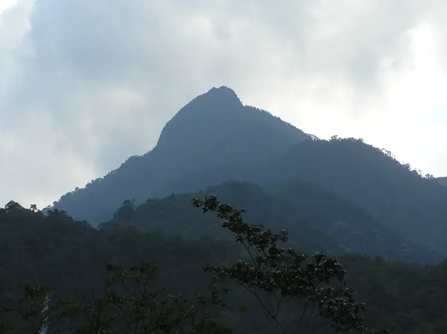
- Highest elevation is 376 meters at Cerro de la Mona.
- Located 500 km off the Pacific coast of Colombia.
- Famous for hammerhead shark schools of up to 300 individuals.
- Hosts a Colombian Navy outpost established in 1986.
Route planner — Car & Motorhome
Where do you start? We build the route here, with stops and country notes along the way.
© OpenStreetMap contributors · OpenRouteService
Sights in the town Malpelo Island (2)
Sights nearby
Frequently asked questions
Is Malpelo inhabited?
Why do divers visit the island?
How do you get there?
Is it a World Heritage site?
Can anyone go on the island?
Malpelo Island: where is it located?
Malpelo Island: what is there to see?
Malpelo Island: when is the best time to visit?
Malpelo Island: why is it worth visiting?
Nearby cities

History & landmarks


Nature
More places