Plizio Visual Lab
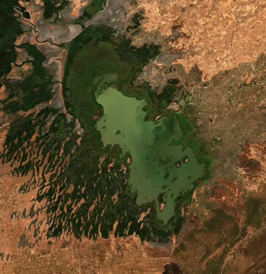
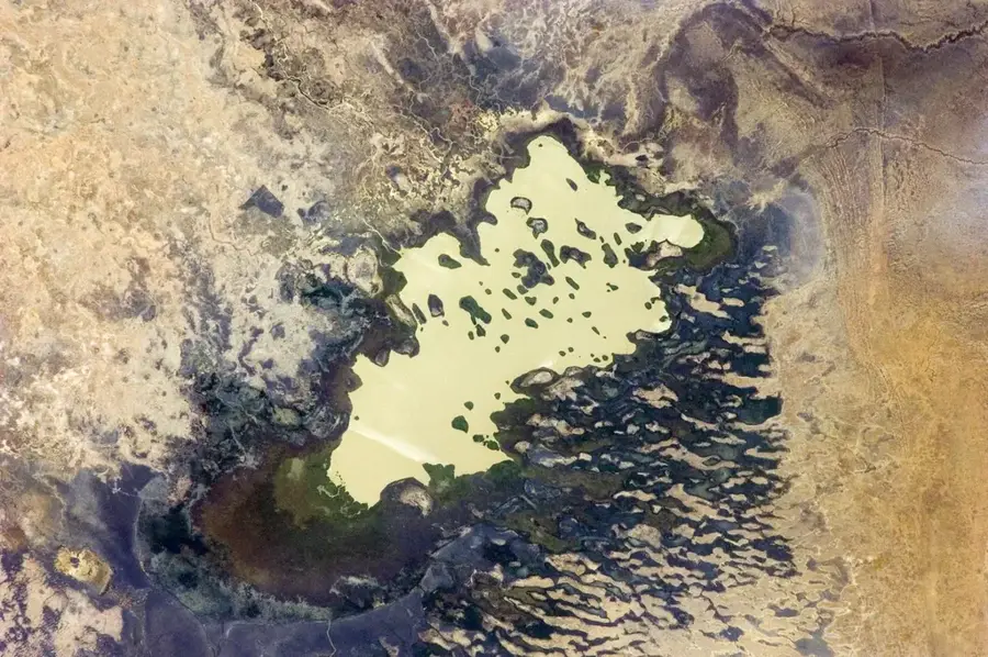
Lake Fitri
Weather…
Water temperature…
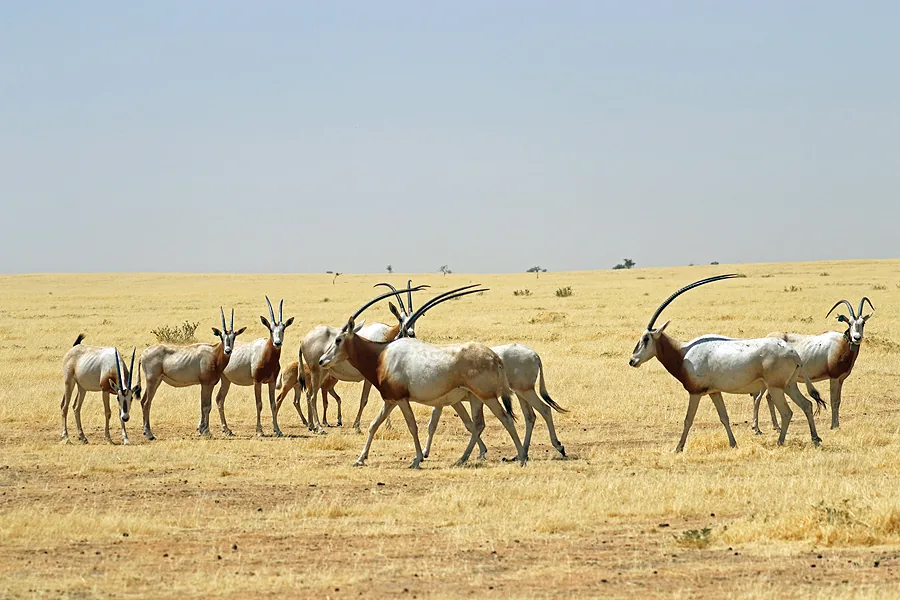
Lake Fitri is a significant endorheic lake situated in the center of Chad, approximately 300 kilometers east of N'Djamena. It is a shallow body of freshwater with a surface area that fluctuates significantly depending on seasonal rainfall, typically covering around 420 square kilometers during the wet season. The lake is a remnant of the much larger ancient Lake Mega-Chad and is designated as a Wetland of International Importance under the RAMSAR Convention since 1990. Its ecosystem is vital for the survival of numerous migratory bird species that use the lake as a stopover during their journeys across the African continent. The surrounding plains provide essential grazing lands for the livestock of local semi-nomadic populations, such as the Bilala people. Unlike Lake Chad, Lake Fitri has maintained a relatively stable water level over recent decades, even during periods of severe drought in the Sahel. The lake is also a primary source of fish for the regional markets, contributing significantly to the local economy and food security.
Best time to visit & climate
The most pleasant time to visit is Feb, Mar, Nov.
| Jan | Feb | Mar | Apr | May | Jun | Jul | Aug | Sep | Oct | Nov | Dec | |
|---|---|---|---|---|---|---|---|---|---|---|---|---|
| Avg °C | 16 | 20 | 24 | 29 | 32 | 34 | 33 | 32 | 32 | 28 | 22 | 17 |
| Rain mm | 0 | 0 | 0 | 0 | 54 | 1 | 7 | 21 | 3 | 0 | 0 | 0 |
📋 Practical info
Geography
Facts
- Located approximately 300 kilometers east of the capital N'Djamena.
- The average surface area during the wet season is 420 square kilometers.
- Officially listed as a RAMSAR site since the year 1990.
- The Bilala people traditionally utilize the lake for fishing.
- Considered one of the last stable remnants of the prehistoric Mega-Chad.
- Important wintering ground for Palearctic migratory birds.
Explore nearby
Notable places around
Route planner — Car & Motorhome
Where do you start? We build the route here, with stops and country notes along the way.
© OpenStreetMap contributors · OpenRouteService
Sights nearby
Frequently asked questions
Is Lake Fitri a national park?
When is the best time for bird watching?
Can you swim in Lake Fitri?
Do you need a boat to see the lake?
Is the area malaria-free?
Lake Fitri: where is it located?
Lake Fitri: when is the best time to visit?
Lake Fitri: why is it worth visiting?

Nearby cities

More places