Plizio Visual Lab
Mbomou River
Weather…
Water temperature…
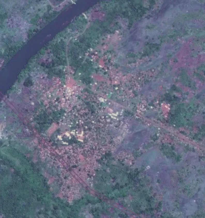
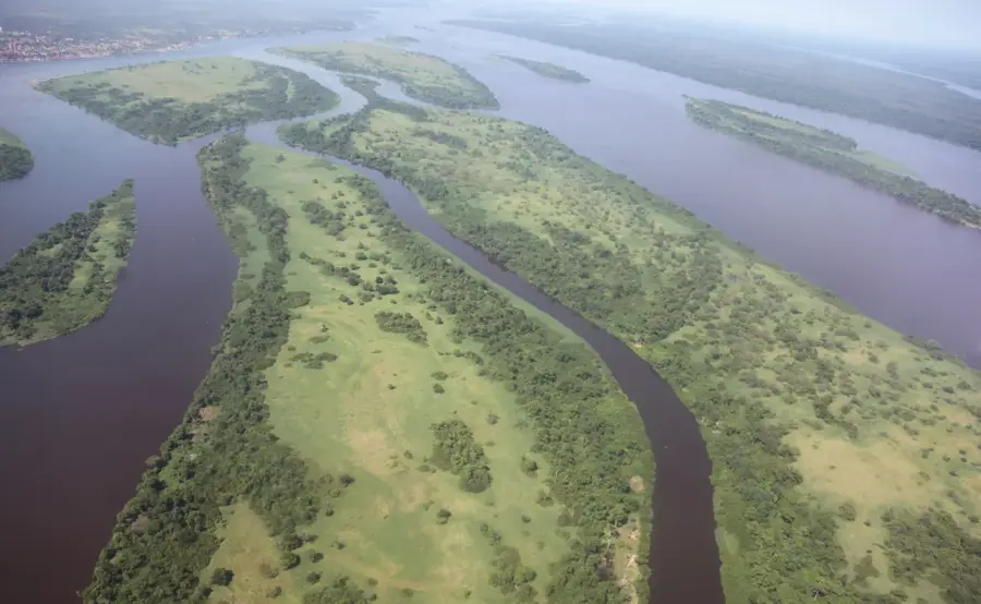
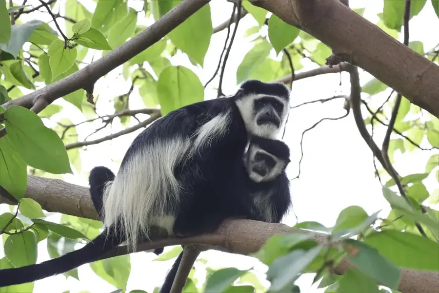
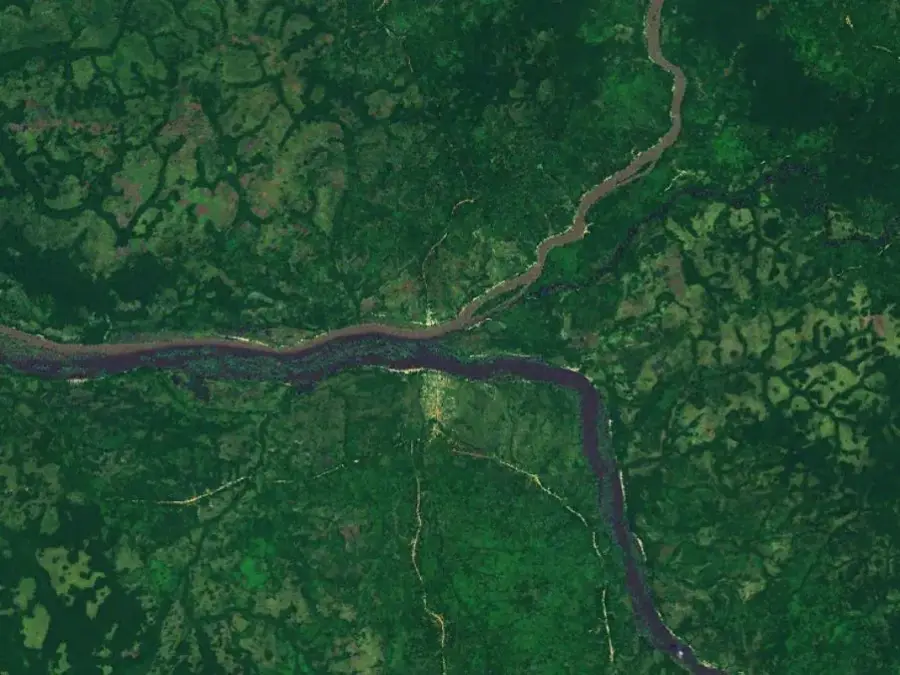
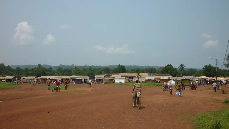
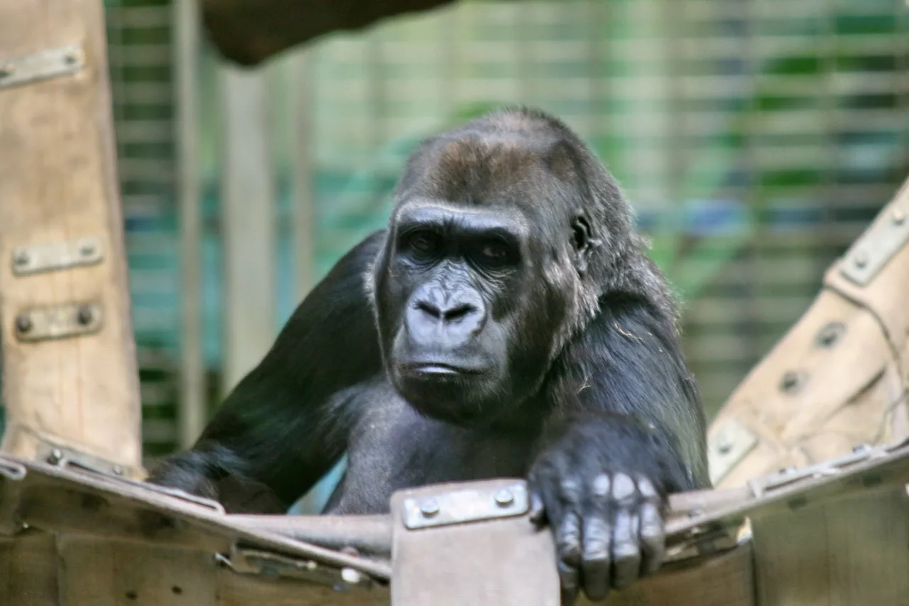
The Mbomou River serves as a long natural border between the Democratic Republic of the Congo and the Central African Republic. Stretching approximately 800 kilometers, it originates in the highlands near the Congo-Nile watershed and flows westward until it converges with the Uele River to form the Ubangi River. Geographically, the river's course is punctuated by numerous rapids and small islands, which restrict continuous navigation but have preserved a wild and pristine riverine landscape. Historically, the Mbomou was a significant corridor for cultural exchange among regional tribes and later became a focal point for colonial border demarcations. The riverbanks are clothed in a mix of dense rainforests and savannas, providing essential corridors for wildlife such as elephants and hippos. The river remains central to the lives of local populations, who depend on it for fishing and as their primary reliable source of water. In modern times, the region's remoteness has granted it high ecological value, though it faces ongoing challenges from cross-border conflicts and the illegal exploitation of natural resources.
- Location: Central African Republic
- Nearby: Rafaï (49 km)
Best time to visit & climate
The most pleasant time to visit is Jan, Nov, Dec.
| Jan | Feb | Mar | Apr | May | Jun | Jul | Aug | Sep | Oct | Nov | Dec | |
|---|---|---|---|---|---|---|---|---|---|---|---|---|
| Avg °C | 26 | 28 | 27 | 26 | 26 | 25 | 25 | 24 | 25 | 25 | 25 | 25 |
| Rain mm | 14 | 39 | 111 | 148 | 171 | 152 | 160 | 191 | 174 | 226 | 69 | 11 |
📋 Practical info
Geography
Facts
- The Mbomou River is approximately 800 kilometers long.
- It joins the Uele River at Yakoma to create the Ubangi River.
- The river's drainage basin spans about 157,000 square kilometers.
- It marks the northern boundary of the DRC's Bas-Uele province.
- The Zande people are the primary ethnic group in the river basin.
- The river is inaccessible to large vessels due to frequent rapids.
Explore nearby
Notable places around
Route planner — Car & Motorhome
Where do you start? We build the route here, with stops and country notes along the way.
© OpenStreetMap contributors · OpenRouteService
Sights nearby
Frequently asked questions
What is the Mbomou River?
Are there waterfalls there?
Is the area developed for tourism?
What wildlife is found on the Mbomou?
How do you cross the river?
Mbomou River: where is it located?
Mbomou River: when is the best time to visit?
Mbomou River: why is it worth visiting?

Nearby cities

History & landmarks

More places