Plizio Visual Lab
Zemongo Forest
Weather…
Water temperature…
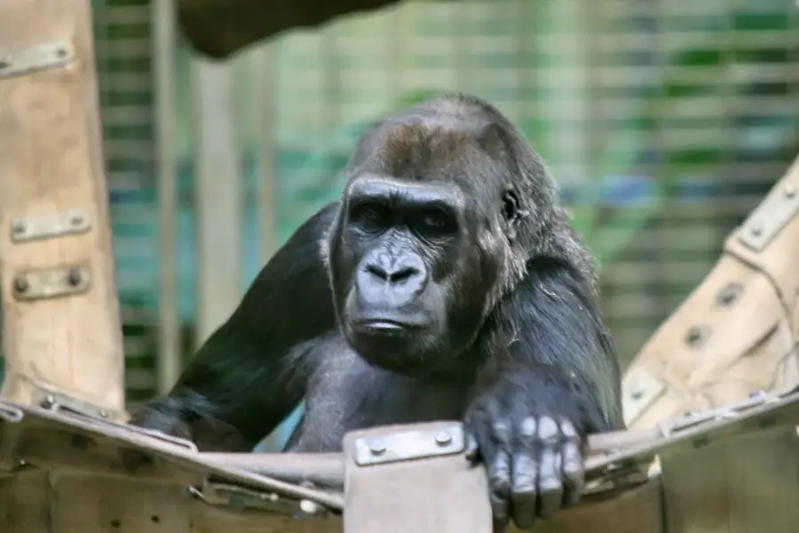
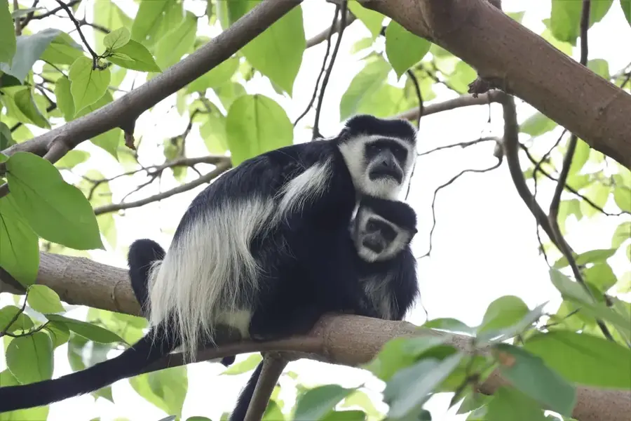
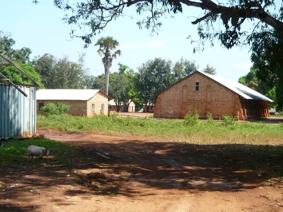
The Zemongo Reserve, often referred to as the Zemongo Forest, is located in the northeastern Central African Republic within the Haut-Mbomou Prefecture. Established as early as 1925 as a faunal reserve, it is one of the oldest protected areas in the country. Geographically, the region is characterized by a gently undulating plateau intersected by numerous watercourses that feed into the Vovodo and Mbomou rivers. The vegetation consists of a mix of dense gallery forests along the rivers and extensive Sudano-Guinean savannas. Zemongo is particularly noted for its populations of chimpanzees and elephants, which find sanctuary in the remote forest islands. Geologically, Precambrian formations dominate, creating nutrient-poor but stable soils. Historically, the region served as a critical refuge for wildlife during severe droughts in the Sahel zone. Despite its long history, the reserve currently suffers from a lack of infrastructure and the impacts of regional instability. However, international conservation groups are working to revitalize protection measures to preserve this valuable reservoir of African megafauna.
Best time to visit & climate
The most pleasant time to visit is Jan, Nov, Dec.
| Jan | Feb | Mar | Apr | May | Jun | Jul | Aug | Sep | Oct | Nov | Dec | |
|---|---|---|---|---|---|---|---|---|---|---|---|---|
| Avg °C | 26 | 29 | 29 | 27 | 26 | 25 | 24 | 24 | 24 | 25 | 25 | 24 |
| Rain mm | 3 | 12 | 42 | 131 | 182 | 165 | 165 | 213 | 199 | 170 | 36 | 6 |
📋 Practical info
Geography
Facts
- The reserve was officially established in 1925.
- It covers an area of approximately 10,100 square kilometers.
- The region sits at an average elevation of 600 meters above sea level.
- Zemongo is home to a significant population of Central African chimpanzees.
- The Vovodo River forms one of the natural boundaries of the area.
- The annual rainfall in the region ranges from 1,300 to 1,400 mm.
Route planner — Car & Motorhome
Where do you start? We build the route here, with stops and country notes along the way.
© OpenStreetMap contributors · OpenRouteService
Sights nearby
Frequently asked questions
Are there chimpanzees?
Is the forest passable?
Is there malaria?
When does it rain most?
What is the vegetation like?
Zemongo Forest: where is it located?
Zemongo Forest: when is the best time to visit?
Zemongo Forest: why is it worth visiting?

Nearby cities
More places