Plizio Visual Lab
Ouadda

ℹ️Practical info — Ouadda
▾
🌤 Weather — 5 days
📍 Nearby
Sights nearby
💡 Tips
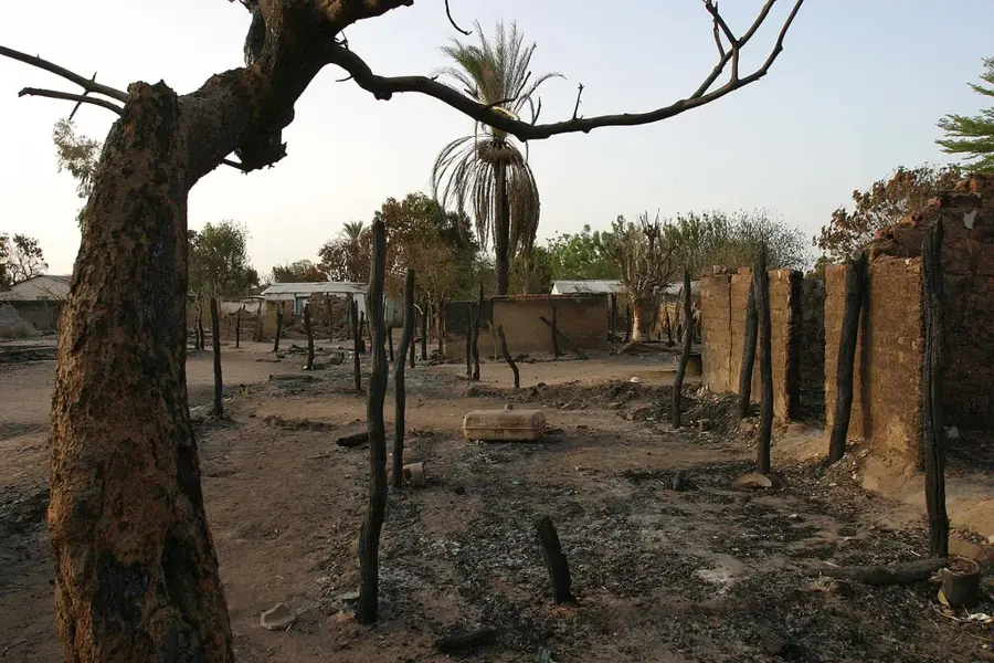
- Extremely remote in the northeast; overland access is grueling and heavily dependent on the dry season.
- Known as a mining area, be aware that prices for basic household goods and food might be heavily inflated.
- Malaria is highly prevalent; rigorous mosquito protection and prophylaxis are non-negotiable.
- Mobile network coverage is spotty at best; satellite phones are standard for reliable communication.
🍽 Food
The dense and highly filling paste is the absolute staple food, accompanying almost every meal.
Common in this forested area; it's often served in local spots, though consume it with caution.
Occasionally sold by locals who forage for it in the surrounding deep forests.
🛍 Shopping · 🧘 Quiet spots
Small stalls offering basic necessities and canned goods, though often at a premium price.
Primarily for basic survival goods; occasionally you can find rough local crafts.
The dense nature around Ouadda is peaceful, but only explore it with an experienced local guide.
Find a quiet spot along the local streams, but be very vigilant about insects.
Water temperature…
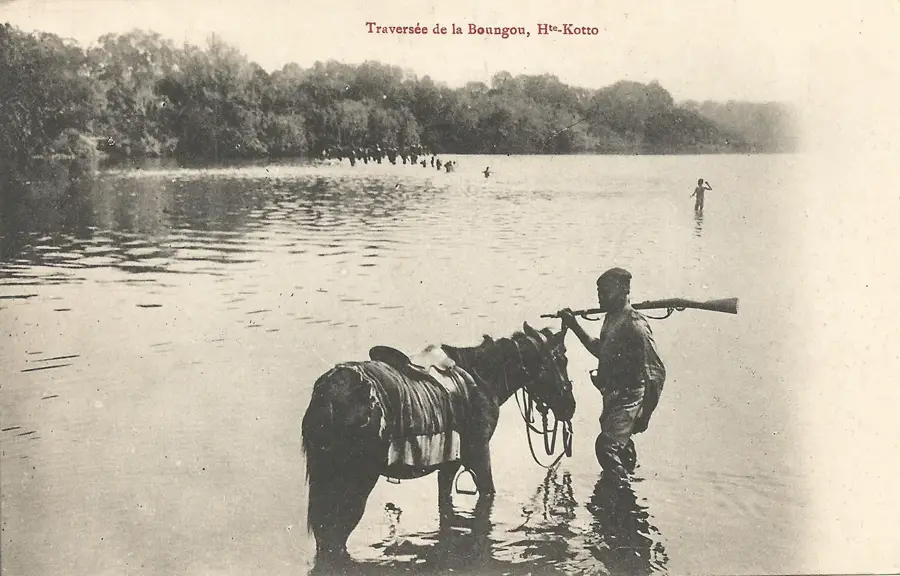
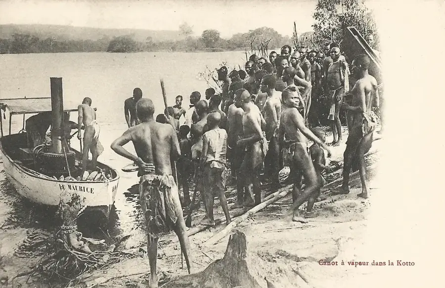
Ouadda is a significant administrative center located in the northern part of the Haute-Kotto prefecture, situated on the central plateau of the Central African Republic. The town occupies a strategic position near the watershed between the Chad and Congo basins, highlighting its regional geographic importance. Historically, Ouadda is closely linked to the discovery and mining of alluvial diamonds, which have formed the economic backbone of the region since the 1930s. Its elevation of approximately 750 meters provides a relatively milder climate with cooler nights compared to the humid lowland regions of the country. The local population consists predominantly of the Runga and Banda ethnic groups, who engage in artisanal mining alongside subsistence farming and hunting. Despite its relative remoteness, the town serves as a crucial logistical outpost for government institutions in this sparsely populated territory. The surrounding landscape is characterized by a blend of savanna and dense gallery forests along riverbeds, which act as vital corridors for regional wildlife and seasonal migrations.
- Location: Central African Republic
- Population: ~5.434 (2016)
Best time to visit & climate
The most pleasant time to visit is Jan, Nov, Dec.
| Jan | Feb | Mar | Apr | May | Jun | Jul | Aug | Sep | Oct | Nov | Dec | |
|---|---|---|---|---|---|---|---|---|---|---|---|---|
| Avg °C | 26 | 29 | 29 | 29 | 27 | 24 | 23 | 23 | 24 | 24 | 24 | 24 |
| Rain mm | 1 | 10 | 34 | 71 | 173 | 209 | 226 | 226 | 236 | 191 | 23 | 2 |
Geography
Facts
- Ouadda is situated at an average elevation of about 750 meters.
- The first diamond deposits were discovered in the area in 1931.
- The town serves as the administrative seat of a sub-prefecture.
- Ouadda is linked by unpaved roads to the regional capital, Bria.
- The region defines the watershed between the Chad and Congo basins.
- Local agriculture focuses mainly on cassava and millet production.
Explore nearby
Notable places around
Route planner — Car & Motorhome
Where do you start? We build the route here, with stops and country notes along the way.
© OpenStreetMap contributors · OpenRouteService
Frequently asked questions
What characterizes Ouadda?
Are there diamonds there?
How is the accessibility?
What is the most important resource?
Is there electricity?
Ouadda: where is it located?
Ouadda: when is the best time to visit?
Ouadda: why is it worth visiting?

Nearby cities
Nature


More places