Plizio Visual Lab
Ubangi River

Weather…
Water temperature…
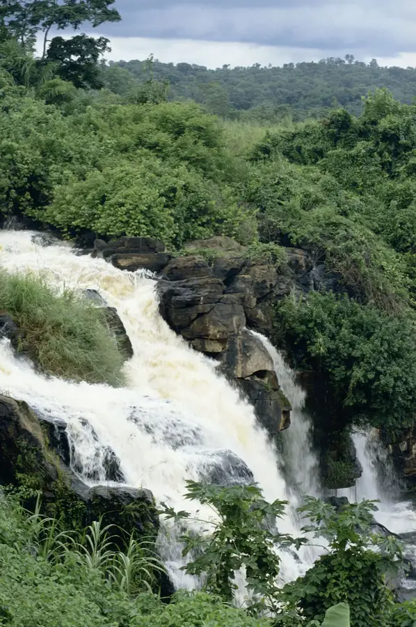
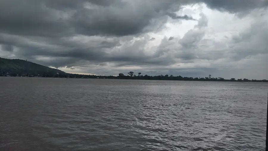
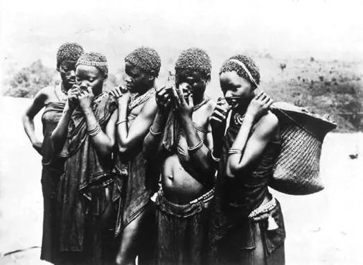
The Ubangi River is the largest right-bank tributary of the Congo River in Central Africa, forming a significant portion of the border between the DRC and the Central African Republic. It is formed by the confluence of the Mbomou and Uele rivers and stretches for a total length of approximately 2,270 kilometers. The river serves as a vital transportation artery, remaining navigable as far as the capital city of Bangui, which is crucial for regional commerce. Its hydrological cycles dictate the rhythm of agriculture and fishing for millions of people inhabiting its vast basin. Historically, the Ubangi was a primary corridor for European colonial expansion and the transport of raw materials like rubber and ivory in the late 19th century. Today, the river is at the heart of a major proposal to transfer water to Lake Chad to prevent its total desiccation. The dense rainforests lining its banks host a rich variety of flora and fauna, though they face threats from deforestation and illegal mining. The Ubangi remains an indispensable economic lifeline for the Central African region.
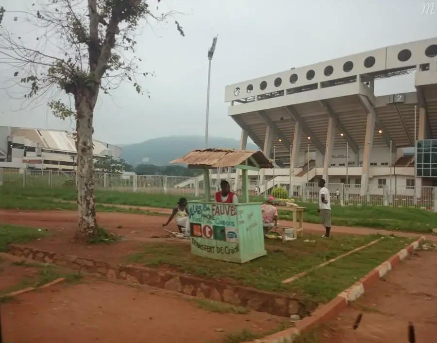
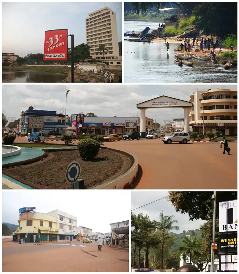
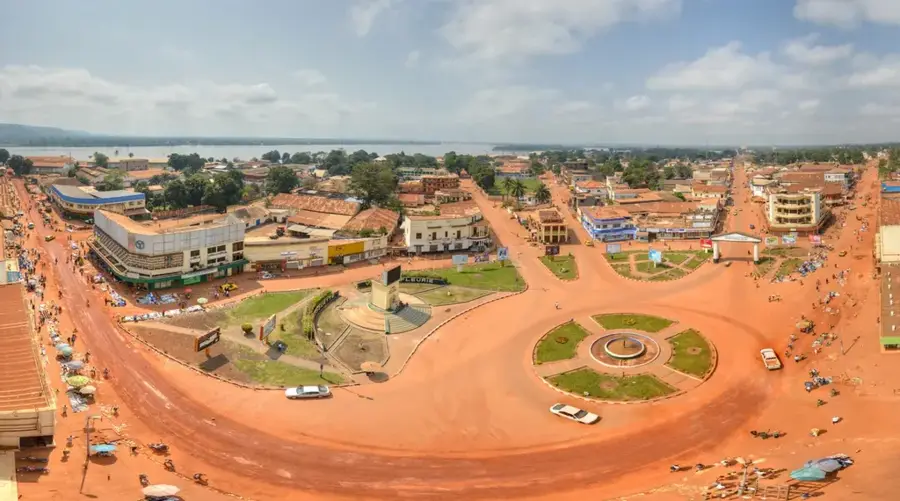
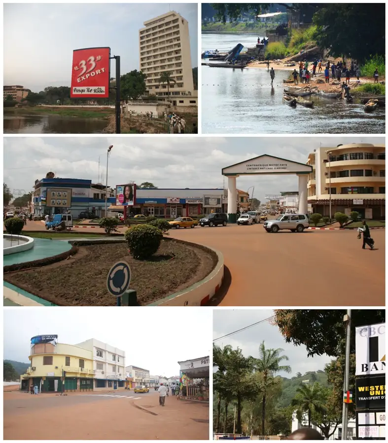
- Location: Central African Republic
- Top sights: Place des Nations Unies · Barthélémy Boganda · Salle omnisports
- Nearby: Bimbo (7 km)
Best time to visit & climate
The most pleasant time to visit is Jan, Nov, Dec.
| Jan | Feb | Mar | Apr | May | Jun | Jul | Aug | Sep | Oct | Nov | Dec | |
|---|---|---|---|---|---|---|---|---|---|---|---|---|
| Avg °C | 27 | 29 | 28 | 27 | 27 | 26 | 25 | 25 | 25 | 25 | 26 | 26 |
| Rain mm | 8 | 50 | 96 | 107 | 125 | 144 | 187 | 209 | 158 | 193 | 77 | 12 |
📋 Practical info
Geography
Facts
- Total length of approximately 2,270 kilometers
- Formed by the confluence of the Mbomou and Uele rivers
- Largest right-bank tributary of the Congo River
- Navigable for large vessels up to the city of Bangui
- Forms the border between the DRC and the CAR
- Key component of the proposed Lake Chad water transfer
Explore nearby
Notable places around
Route planner — Car & Motorhome
Where do you start? We build the route here, with stops and country notes along the way.
© OpenStreetMap contributors · OpenRouteService
Sights in the town Ubangi River (4)
Sights nearby
Frequently asked questions
How important is the Ubangi River?
Can you take boat tours on the Ubangi?
Are there crocodiles in the river?
When is the water level highest?
Can the river be crossed?
Ubangi River: where is it located?
Ubangi River: what is there to see?
Ubangi River: when is the best time to visit?
Ubangi River: why is it worth visiting?

Nearby cities

History & landmarks


Nature

More places