Plizio Visual Lab
South Nahanni River
Weather…
Water temperature…
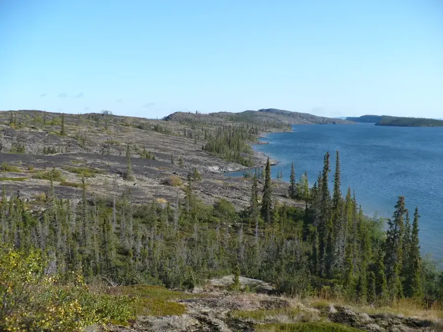
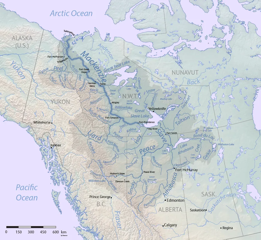
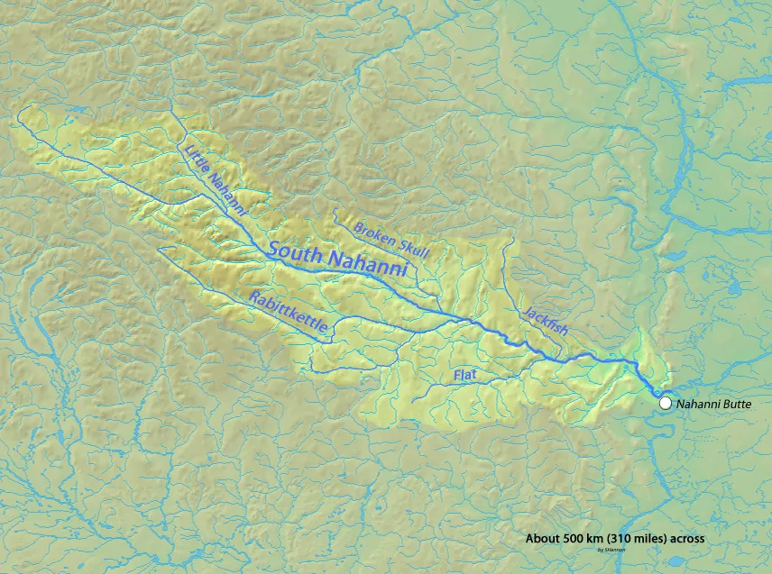
The South Nahanni River is the centerpiece of Nahanni National Park Reserve in the Northwest Territories and one of North America's most spectacular river systems. Stretching over 540 kilometers, the river is renowned for its deep canyons, massive waterfalls, and natural hot springs. A major highlight is Virginia Falls, which drops 96 meters, nearly twice the height of Niagara Falls. In 1978, it became one of the first sites globally to be designated as a UNESCO World Heritage site. Flowing through the Mackenzie Mountains, the river showcases unique geological features, including extensive limestone caves and karst landscapes. Historically, the region was the site of several gold rushes and is steeped in the legends of the indigenous Dene people. Today, the South Nahanni is a bucket-list destination for expert canoeists and wilderness adventurers seeking the isolation of the Arctic north.
Best time to visit & climate
The most pleasant time to visit is Jun–Aug.
| Jan | Feb | Mar | Apr | May | Jun | Jul | Aug | Sep | Oct | Nov | Dec | |
|---|---|---|---|---|---|---|---|---|---|---|---|---|
| Avg °C | -20 | -18 | -16 | -6 | 3 | 9 | 12 | 9 | 3 | -6 | -17 | -20 |
| Rain mm | 32 | 21 | 28 | 38 | 73 | 128 | 120 | 94 | 60 | 43 | 32 | 27 |
📋 Practical info
Geography
Facts
- The river flows for a total length of approximately 540 kilometers.
- Virginia Falls is the river's highest waterfall, plunging 96 meters.
- The river's canyons reach depths of up to 1,200 meters in some sections.
- The South Nahanni was designated a UNESCO World Heritage site in 1978.
- The Rabbitkettle Hot Springs have created massive tufa limestone mounds.
- The name Nahanni is derived from the Dene language, meaning 'river of the people'.
Route planner — Car & Motorhome
Where do you start? We build the route here, with stops and country notes along the way.
© OpenStreetMap contributors · OpenRouteService
Sights nearby
Frequently asked questions
What is the highlight of the river?
How can you travel down the river?
Is the river suitable for beginners?
Are there wild animals there?
How do you get to the park?
South Nahanni River: where is it located?
South Nahanni River: when is the best time to visit?
South Nahanni River: why is it worth visiting?