Plizio Visual Lab
Tcholliré
ℹ️Practical info — Tcholliré
▾
🌤 Weather — 5 days
📍 Nearby
Sights nearby
💡 Tips
- Bring enough cash with you, as card payments are uncommon in this rural trading town.
- Visit the local farmers' market in the early morning to avoid the oppressive midday heat.
- Use motorcycle taxis for short trips, but be sure to negotiate the fare before getting on.
- Always ask for permission before photographing vendors or local agricultural scenes.
🍽 Food
You will find the best freshly grilled skewers in the evening at busy intersections.
A refreshing, sweet and sour cold drink sold almost everywhere on hot afternoons.
A savory pudding made from black-eyed peas and palm oil, often available at small food stalls near the market.
🛍 Shopping · 🧘 Quiet spots
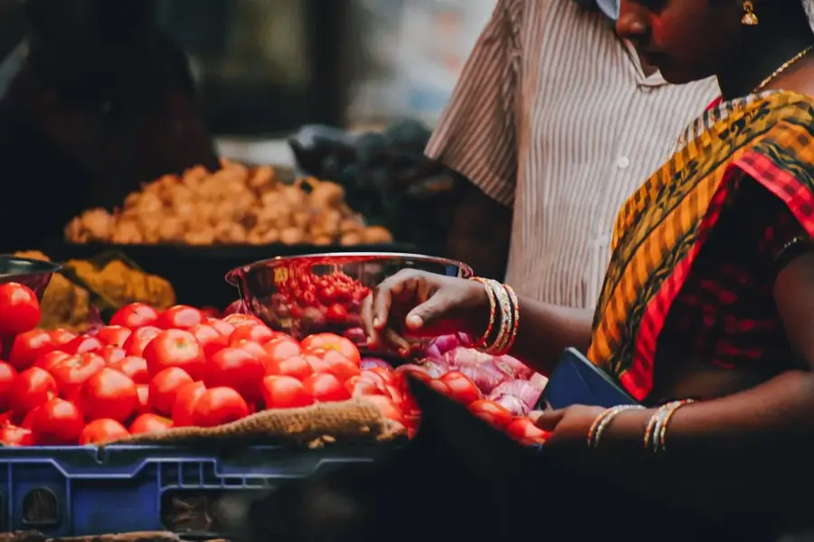
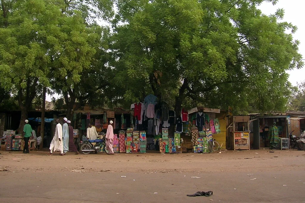
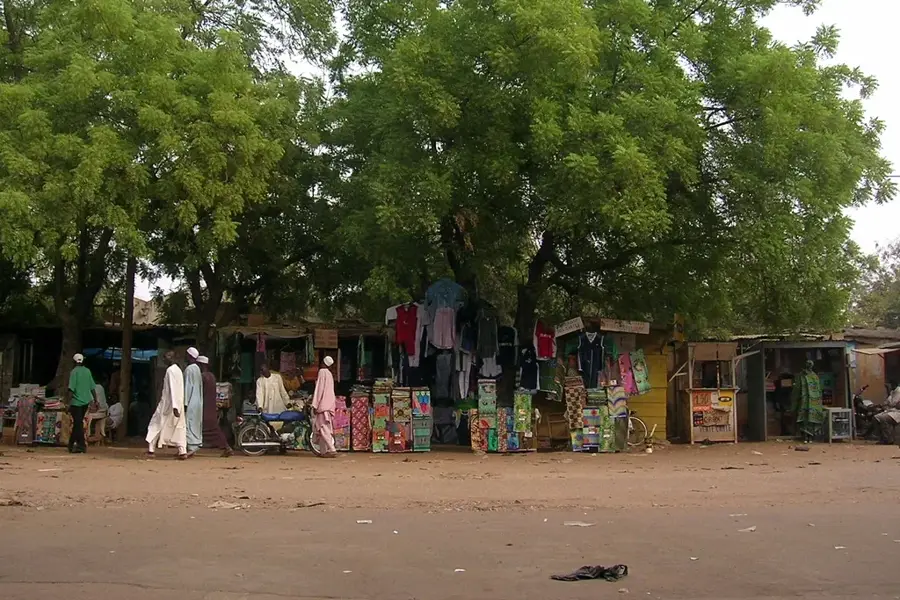
The central market is the best place to buy fresh peanuts, millet, and seasonal vegetables straight from the farmers.
You can find animated West African fabrics in the small textile shops surrounding the market.
Head to the edge of town in the late afternoon, where the bustling streets give way to the quiet savannah landscape.
The unpaved paths between the agricultural fields offer a peaceful atmosphere in the evening.
Water temperature…
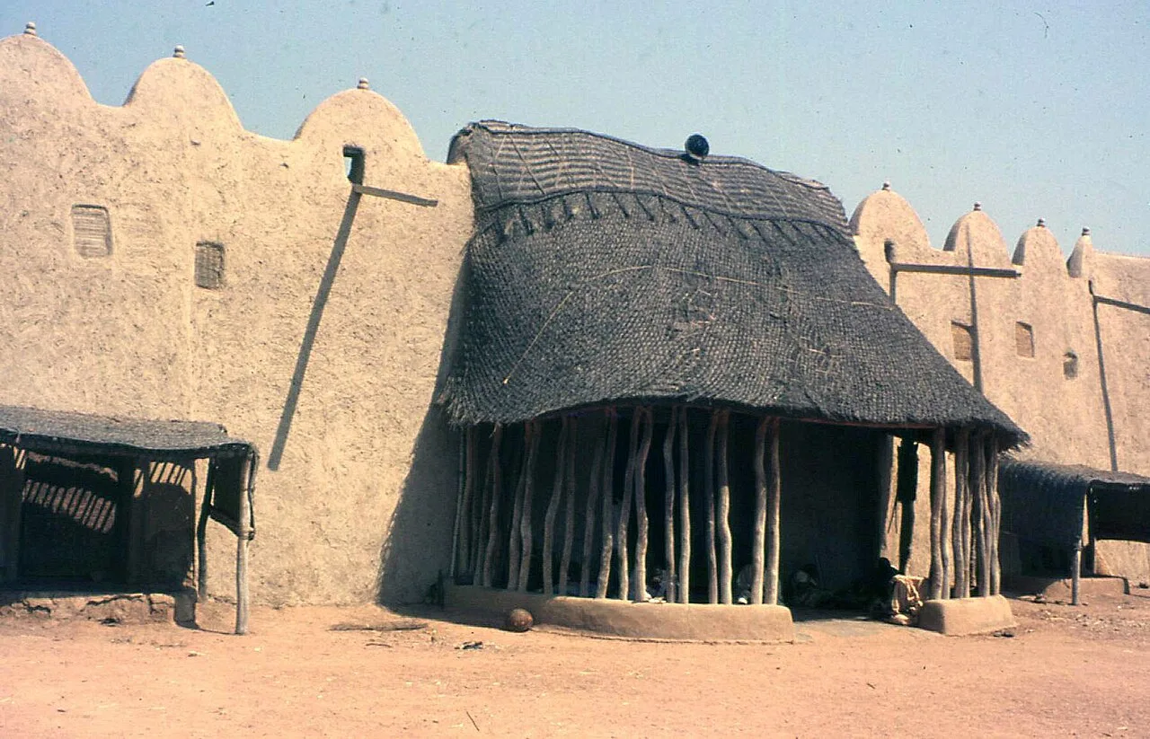
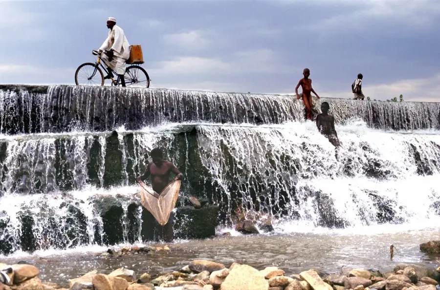
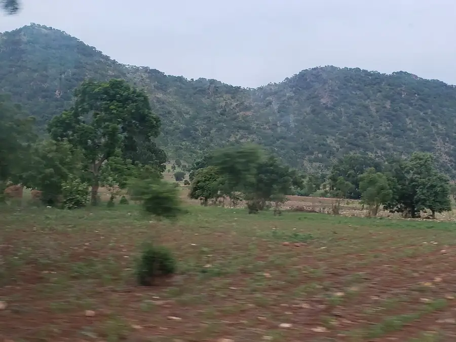
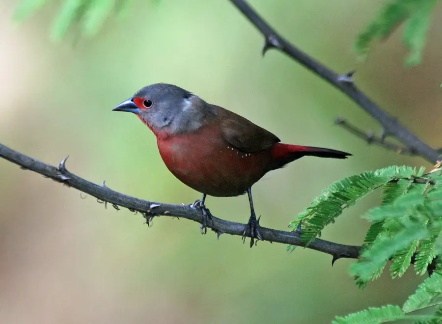
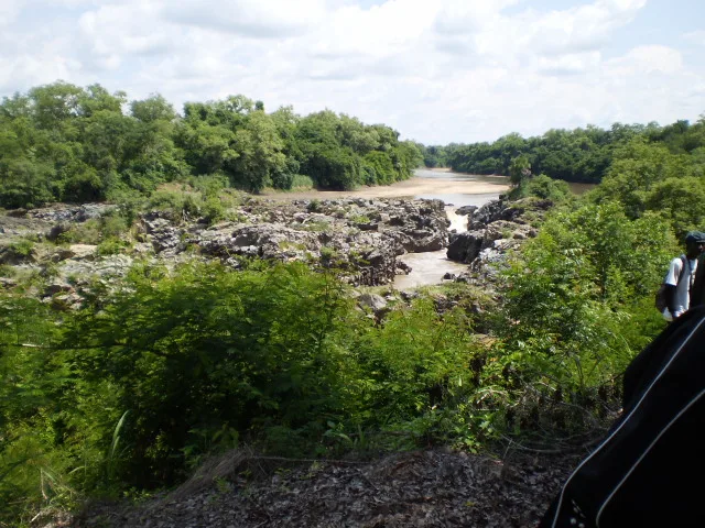
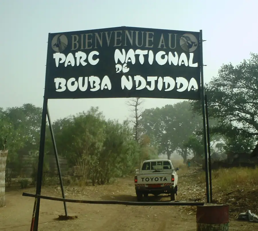
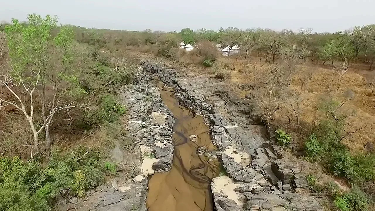
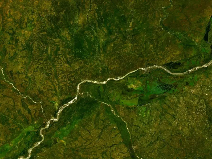
Tcholliré lies in Mayo-Rey Department of the North Region at about 350 metres elevation across a vast Sudanian savanna landscape, around 270 kilometres east of Garoua. The roughly 30 000 inhabitants are mostly Mboum, Laka and Fulbe and live in one of the most sparsely populated regions of Cameroon. The town is famed as the gateway to Bouba-Ndjida National Park, one of Central Africa's most important protected areas, home to elephants, lions, hartebeests, African wild dogs and one of the last remnant populations of the critically endangered black rhinoceros. The economy rests on sorghum, maize and groundnut farming, regulated hunting and a growing timber industry. Highlights include the Bouba-Ndjida camp, the Mayo-Rey waterfalls and the rock formations of Mayo-Lidi. The tropical Sudanian climate with a long dry season from October to April supports open acacia savanna and makes the area a hidden safari gem.
- Location: Cameroon
- Population: ~23.187 (2020)
Best time to visit & climate
The most pleasant time to visit is Jan, Nov, Dec.
| Jan | Feb | Mar | Apr | May | Jun | Jul | Aug | Sep | Oct | Nov | Dec | |
|---|---|---|---|---|---|---|---|---|---|---|---|---|
| Avg °C | 26 | 29 | 32 | 32 | 30 | 28 | 26 | 25 | 26 | 27 | 27 | 26 |
| Rain mm | 0 | 0 | 3 | 49 | 108 | 151 | 208 | 248 | 186 | 75 | 4 | 0 |
Geography
Facts
- Capital of the Mayo-Rey department
- Region: North
- Located near Bénoué National Park
- Traditional center of the Fulbe people
- Seat of an influential Lamidat
- Important livestock trade hub
Explore nearby
Notable places around
Route planner — Car & Motorhome
Where do you start? We build the route here, with stops and country notes along the way.
© OpenStreetMap contributors · OpenRouteService
Sights in the town Tcholliré (1)
Frequently asked questions
What is Tcholliré?
When to travel?
What does the region offer?
Are there hotels?
Is it safe?
Tcholliré: where is it located?
Tcholliré: when is the best time to visit?
Tcholliré: why is it worth visiting?

Nearby cities

History & landmarks
Nature
More places