Plizio Visual Lab
Adamawa Plateau
Weather…
Water temperature…
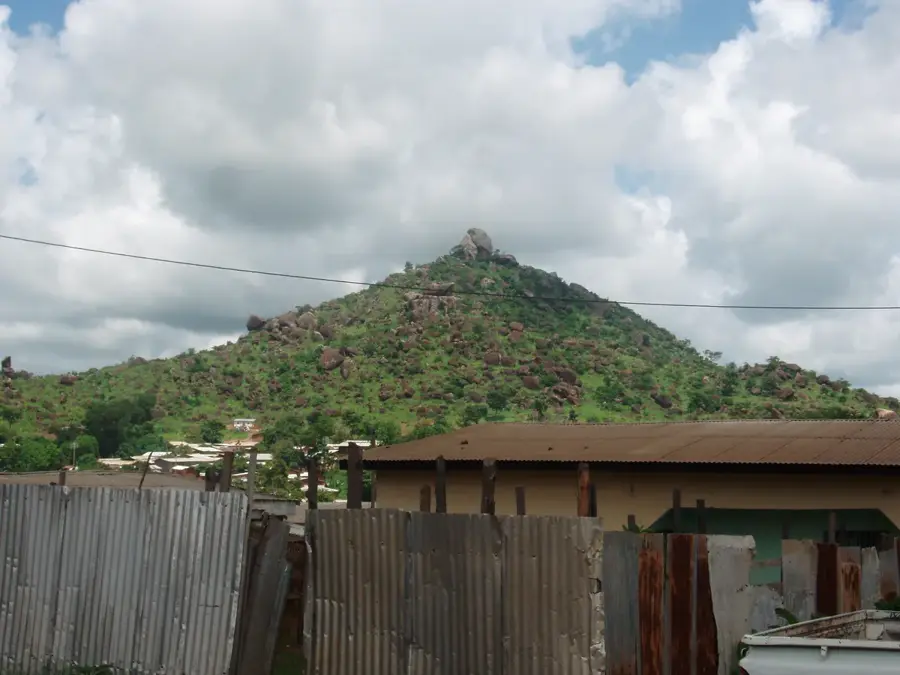
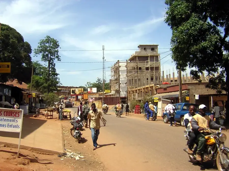
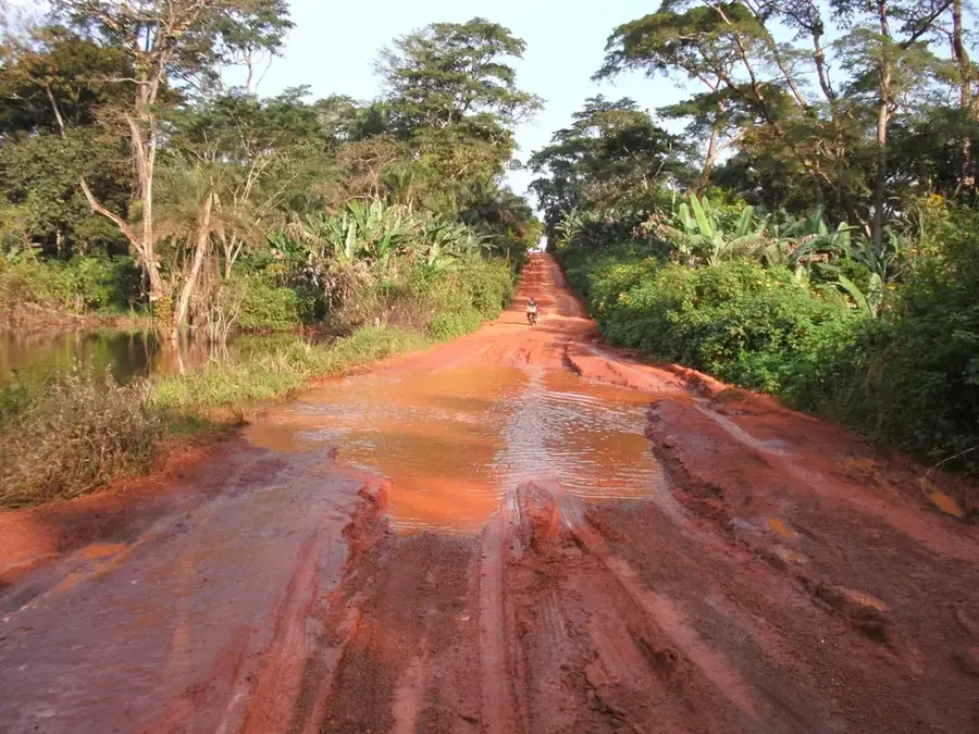
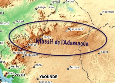
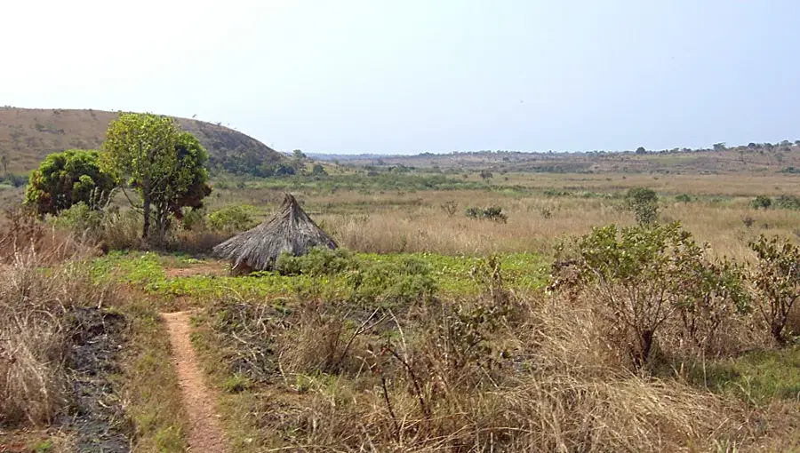
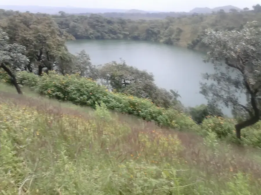
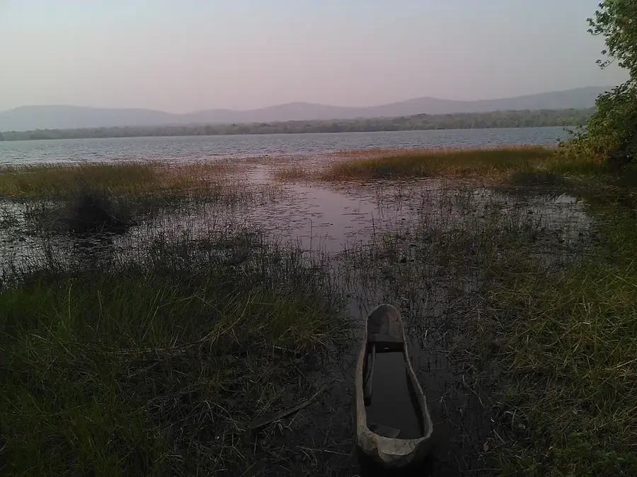
The Adamawa Plateau is a vast highland region in central Cameroon, frequently referred to as the "water tower of Cameroon" because it serves as the source for several major rivers. With an average elevation of 1,100 meters, it spans across Cameroon into neighboring Nigeria and the Central African Republic. Geologically, the plateau is composed of ancient granite foundations interspersed with younger volcanic basalt formations created by tectonic uplifting. The landscape is characterized by rolling savannas, deeply incised valleys, and distinctive volcanic cones that rise abruptly from the plain. The plateau forms a natural boundary between the humid tropical forests of the south and the drier savanna zones of the north. Due to its moderate climate and abundant grazing lands, the region is the primary center for cattle ranching in Cameroon, largely managed by Fulani pastoralists. Historically, it was a vital migration corridor and currently serves as a strategic transit route for Central African trade.
- Location: Cameroon
- Nearby: Tibati (71 km)
Best time to visit & climate
The most pleasant time to visit is Jan, Nov, Dec.
| Jan | Feb | Mar | Apr | May | Jun | Jul | Aug | Sep | Oct | Nov | Dec | |
|---|---|---|---|---|---|---|---|---|---|---|---|---|
| Avg °C | 21 | 24 | 25 | 24 | 23 | 22 | 21 | 21 | 21 | 22 | 22 | 21 |
| Rain mm | 1 | 5 | 28 | 112 | 184 | 202 | 268 | 310 | 275 | 166 | 18 | 2 |
📋 Practical info
Geography
Facts
- The plateau covers an area of approximately 67,000 square kilometers.
- The Sanaga River, Cameroon's longest, originates on this highland.
- The average elevation of the terrain ranges from 900 to 1,500 meters.
- Basaltic rocks from ancient volcanic activity cover much of the central area.
- Ngaoundéré serves as the administrative and cultural hub of the plateau.
- It supports one of the largest cattle populations in Central Africa.
Explore nearby
Notable places around
Route planner — Car & Motorhome
Where do you start? We build the route here, with stops and country notes along the way.
© OpenStreetMap contributors · OpenRouteService
Sights nearby
Frequently asked questions
What is the main feature of the Adamawa Plateau?
What is the climate like on the plateau?
Are there waterfalls on the Adamawa Plateau?
Which city is the best starting point?
Can you visit crater lakes?
Adamawa Plateau: where is it located?
Adamawa Plateau: when is the best time to visit?
Adamawa Plateau: why is it worth visiting?

Nearby cities

More places