Plizio Visual Lab
Ratanakiri Plateau
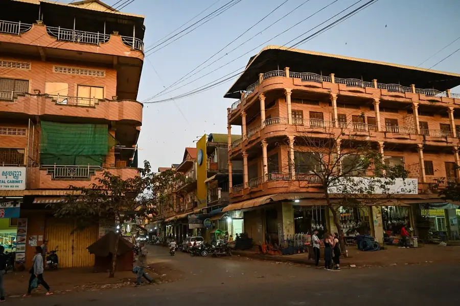
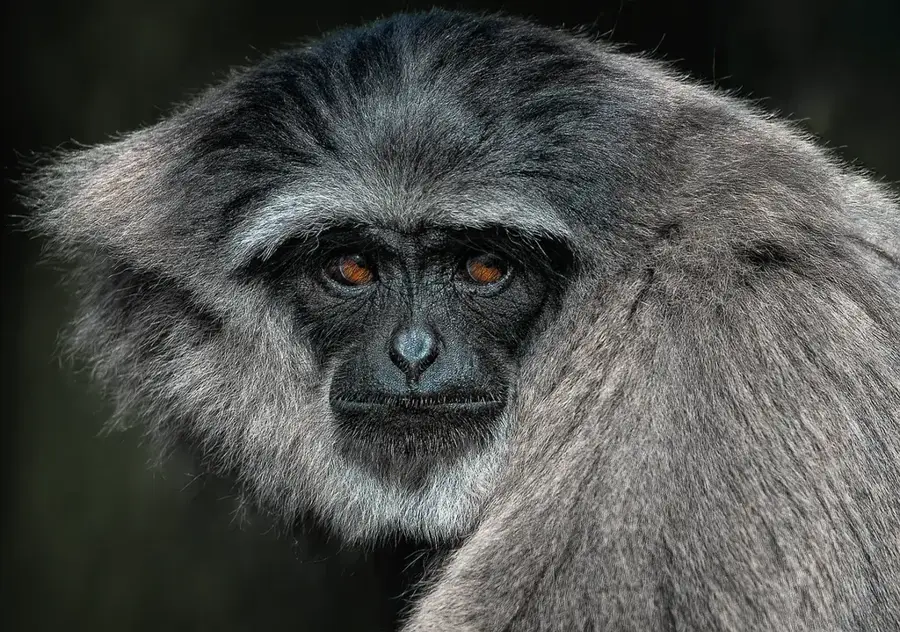
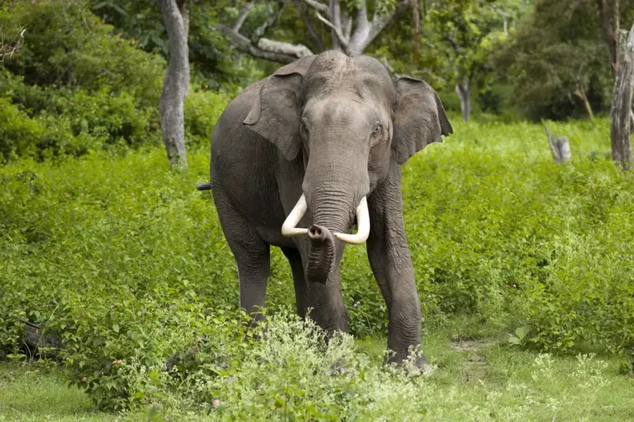
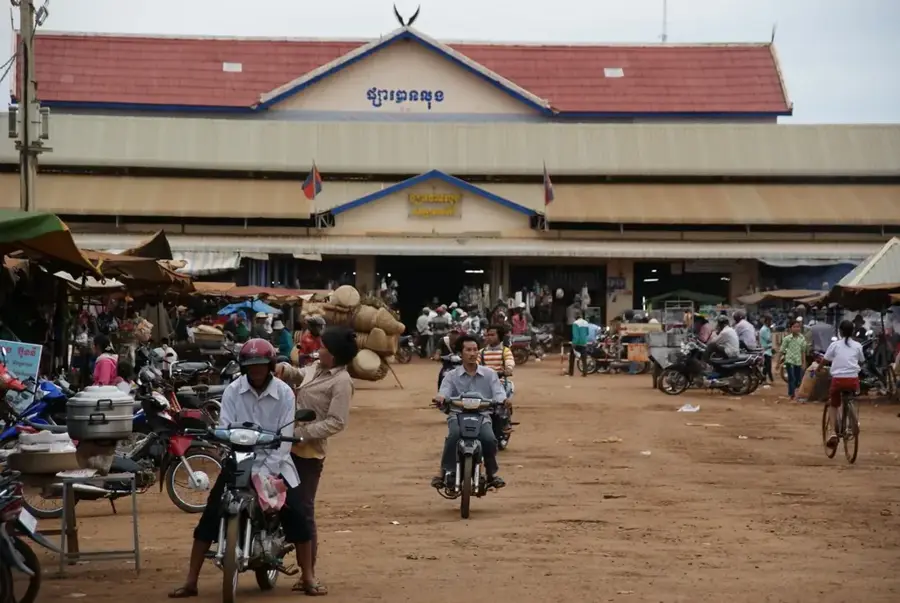
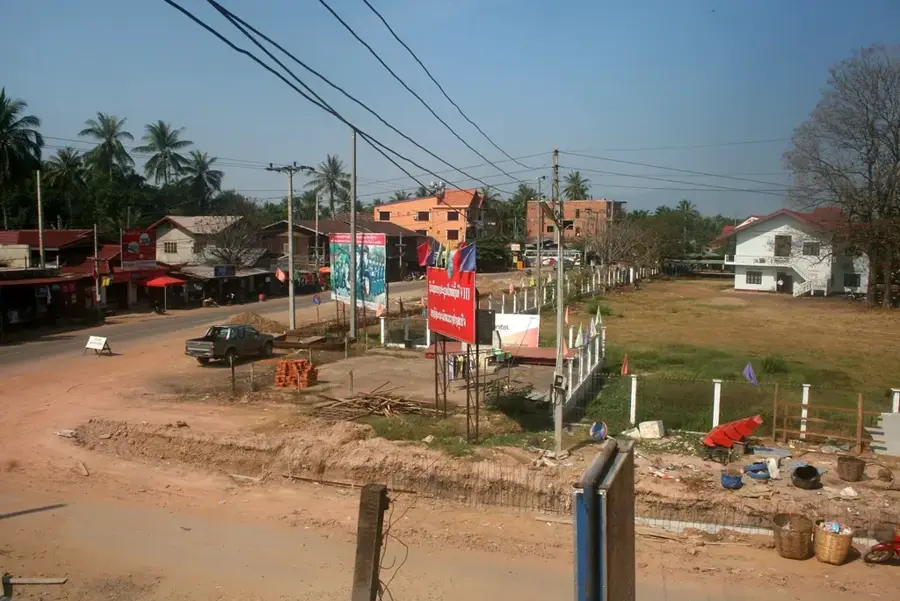
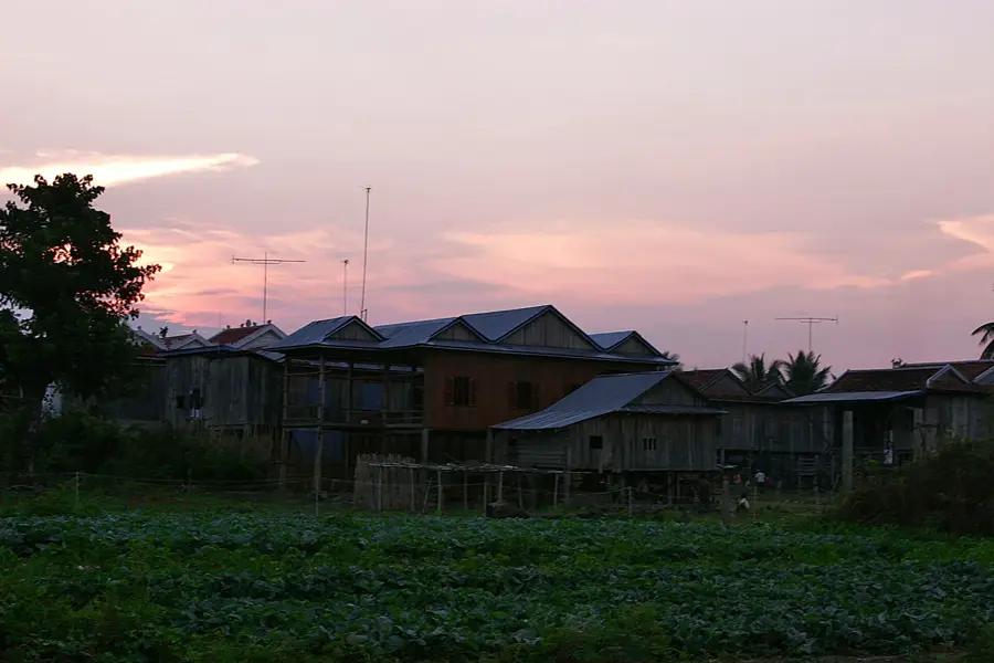
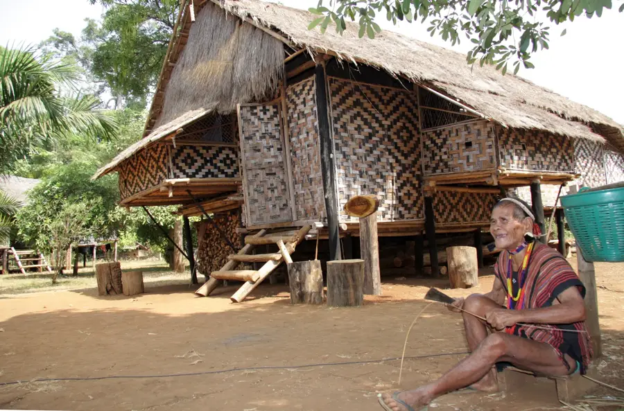
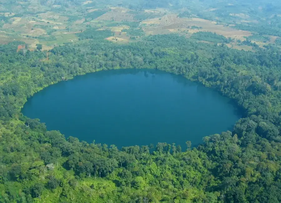
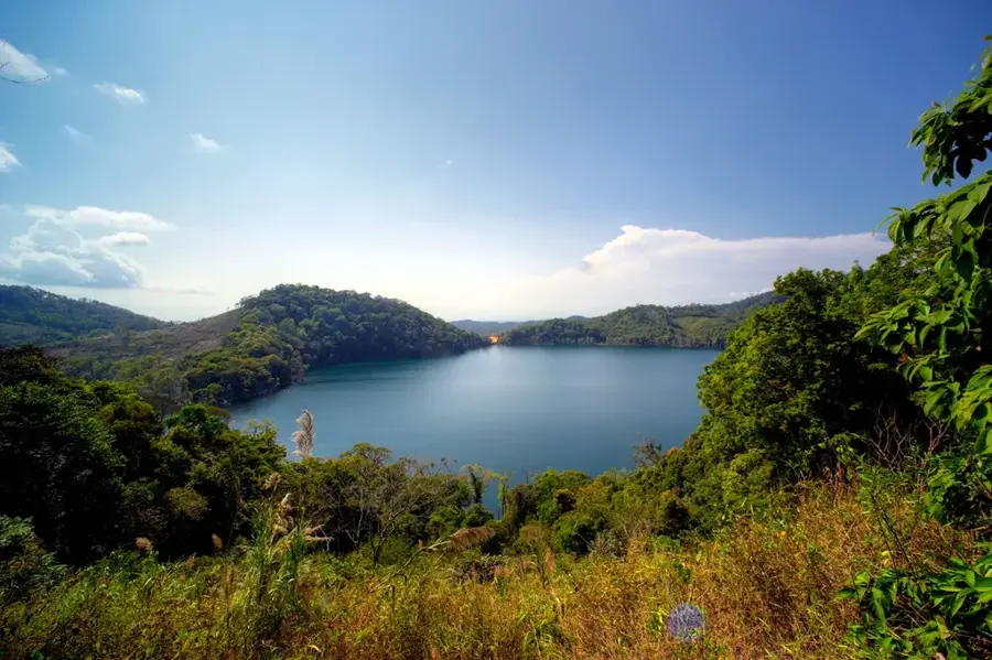
The Ratanakiri Plateau is located in the far northeastern corner of Cambodia and is a geologically unique region defined by its volcanic history. The landscape is characterized by nutrient-rich red soil, dense tropical jungles, and several volcanic crater lakes, the most famous being Yeak Laom. Sitting at an average elevation of 300 to 500 meters, the plateau features a varied topography of hills and deep river valleys. Ratanakiri is home to several ethnic minority groups, such as the Tumpoun and Jarai, whose cultures are deeply intertwined with the forest environment. In recent decades, the region has undergone significant changes due to the expansion of large-scale rubber and cashew plantations, which have impacted the native forest cover. Despite this, the province still hosts the massive Virachey National Park, which forms a vital ecological corridor shared with Laos and Vietnam. The local wildlife includes rare species such as the yellow-cheeked crested gibbon. The provincial capital, Banlung, has emerged as a hub for adventure tourism and nature exploration in this remote frontier.
- Location: Cambodia
- Top sights: Buddha's place · Cha Ong Waterfall · Kachanh Waterfall
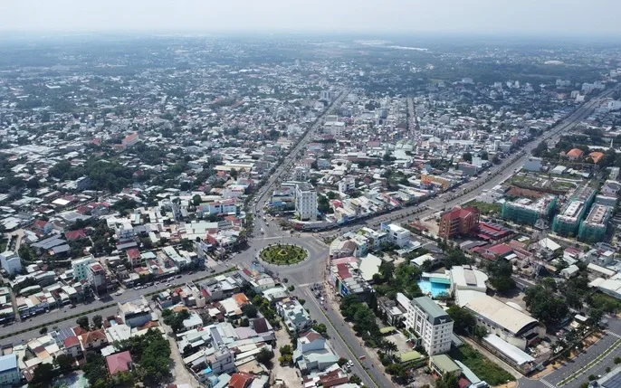
- Nearby: Lumphat (8 km)
Best time to visit & climate
The most pleasant time to visit is Jan, Feb, Dec.
| Jan | Feb | Mar | Apr | May | Jun | Jul | Aug | Sep | Oct | Nov | Dec | |
|---|---|---|---|---|---|---|---|---|---|---|---|---|
| Avg °C | 26 | 27 | 29 | 31 | 30 | 29 | 28 | 28 | 28 | 28 | 27 | 26 |
| Rain mm | 4 | 2 | 12 | 25 | 77 | 109 | 127 | 162 | 142 | 98 | 47 | 15 |
📋 Practical info
Geography
Facts
- Yeak Laom Lake was formed in a volcanic crater 700,000 years ago.
- The Ratanakiri province spans an area of approximately 10,782 km².
- Virachey National Park is one of the largest protected areas in Cambodia.
- The red volcanic soil is highly suitable for cashew nut cultivation.
- Ethnic minorities make up more than 50% of the local population.
- The region receives an average annual rainfall of 2500 mm.
Explore nearby
Notable places around
Route planner — Car & Motorhome
Where do you start? We build the route here, with stops and country notes along the way.
© OpenStreetMap contributors · OpenRouteService
Sights in the town Ratanakiri Plateau (5)
Sights nearby
Frequently asked questions
What is Yeak Laom Lake?
Can you find gemstones there?
What is the red soil?
What ethnic minorities live there?
Is Ratanakiri hard to reach?
Ratanakiri Plateau: where is it located?
Ratanakiri Plateau: what is there to see?
Ratanakiri Plateau: when is the best time to visit?
Ratanakiri Plateau: why is it worth visiting?

Nearby cities
Nature
More places