Plizio Visual Lab
Phnom Aural

Weather…
Water temperature…
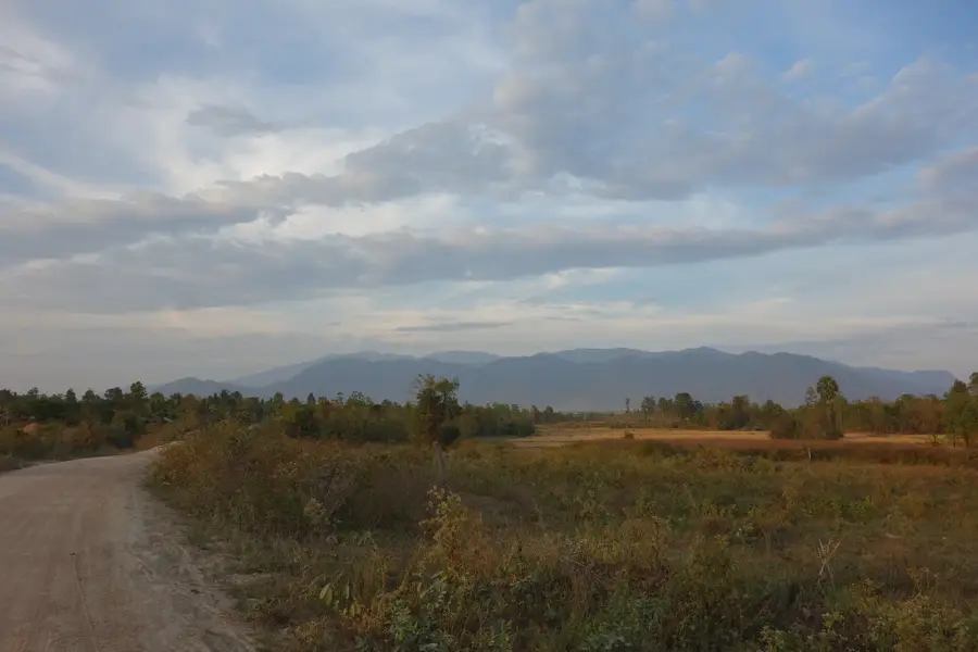
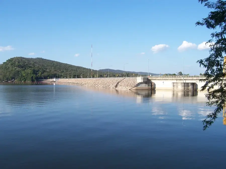
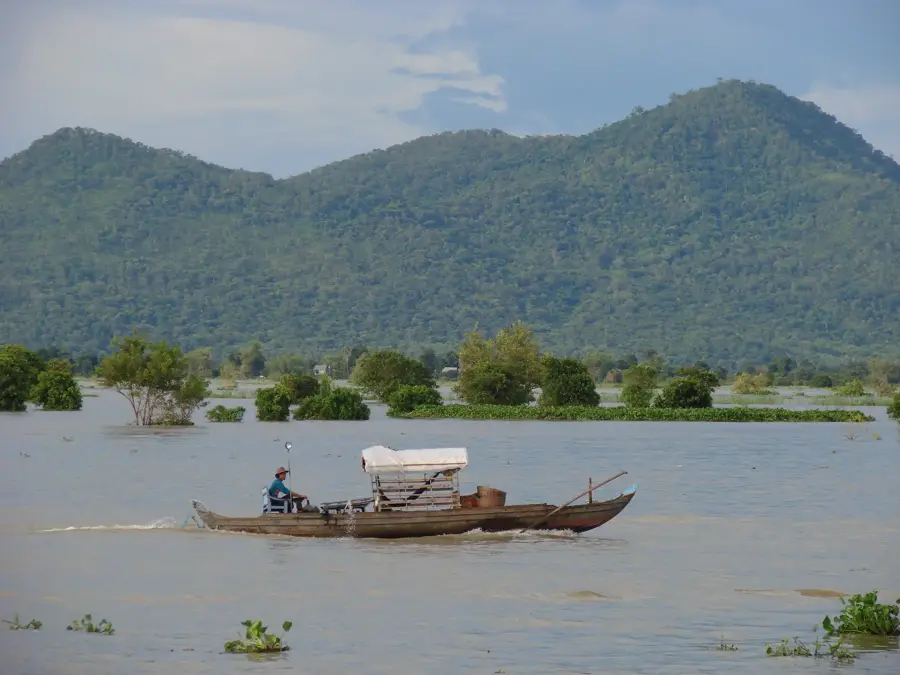
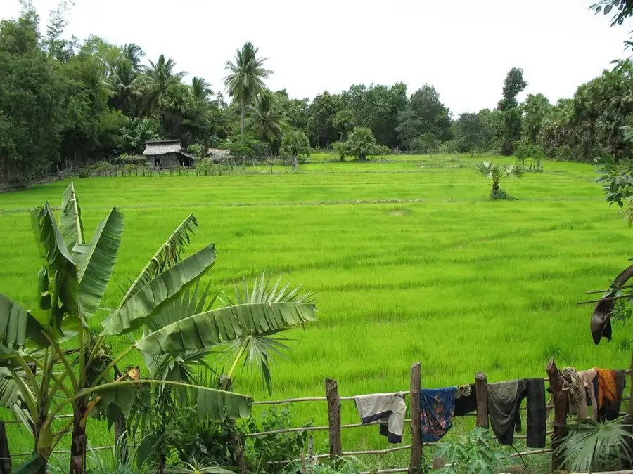
Phnom Aural is the highest peak in Cambodia, standing at an elevation of 1,813 meters, and is located in the eastern part of the Cardamom Mountains. Situated in Kampong Speu Province, it lies within the Aural Wildlife Sanctuary, established to protect the region's pristine mountain rainforests. Climbing to the summit is regarded as one of the most challenging trekking experiences in the country, passing through dense vegetation that serves as a refuge for many rare wildlife species. Geographically, the mountain acts as a vital watershed, feeding several rivers that are essential for agriculture in the surrounding lowland plains. The summit area is frequently shrouded in mist, creating a cool microclimate where mosses and ferns flourish in abundance. Historically, the mountain's remoteness kept it inaccessible for a long time, which helped preserve its original natural state. Today, Phnom Aural is a significant destination for adventure travelers and conservationists dedicated to protecting Cambodia's remaining montane cloud forests.
- Location: Cambodia
- Nearby: Kampong Speu (30 km)
Best time to visit & climate
The most pleasant time to visit is Jan, Nov, Dec.
| Jan | Feb | Mar | Apr | May | Jun | Jul | Aug | Sep | Oct | Nov | Dec | |
|---|---|---|---|---|---|---|---|---|---|---|---|---|
| Avg °C | 27 | 29 | 30 | 30 | 29 | 27 | 27 | 27 | 26 | 26 | 26 | 26 |
| Rain mm | 21 | 25 | 54 | 87 | 172 | 267 | 290 | 267 | 267 | 172 | 68 | 22 |
📋 Practical info
Geography
Facts
- At 1,813 meters, Phnom Aural is the highest point in Cambodia.
- The mountain is located in Kampong Speu Province in the southwest.
- It lies within the protected Phnom Aural Wildlife Sanctuary area.
- The peak is part of the eastern reaches of the Cardamom Mountain range.
- An ascent to the summit typically takes two to three days of trekking.
- The region hosts rare mountain cloud forests with high biodiversity.
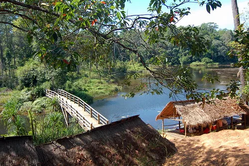
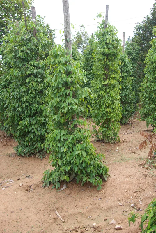
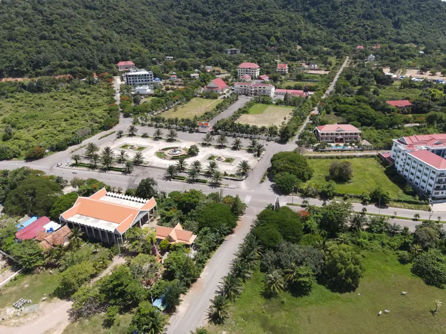
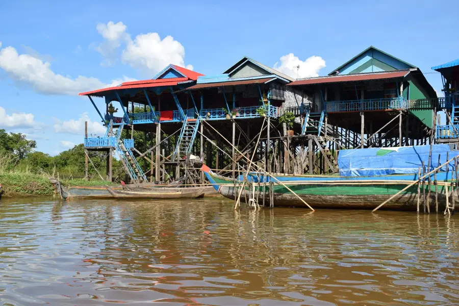
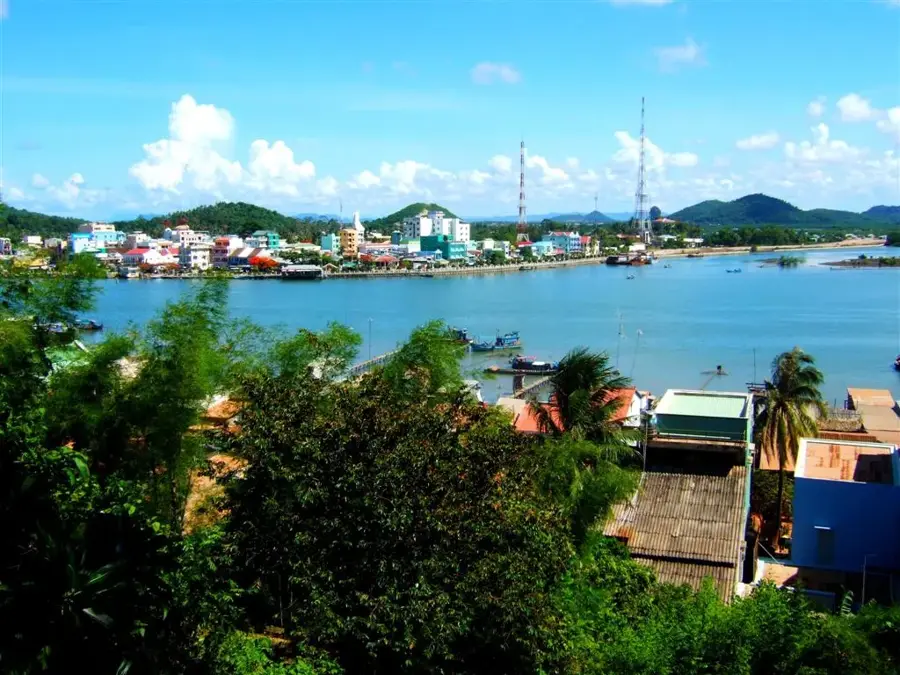
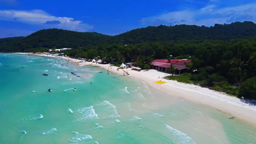
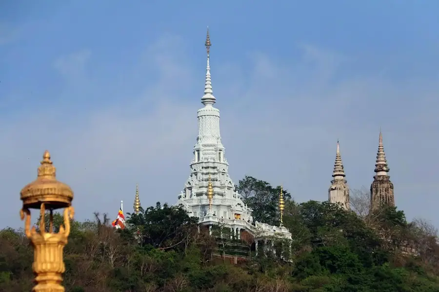
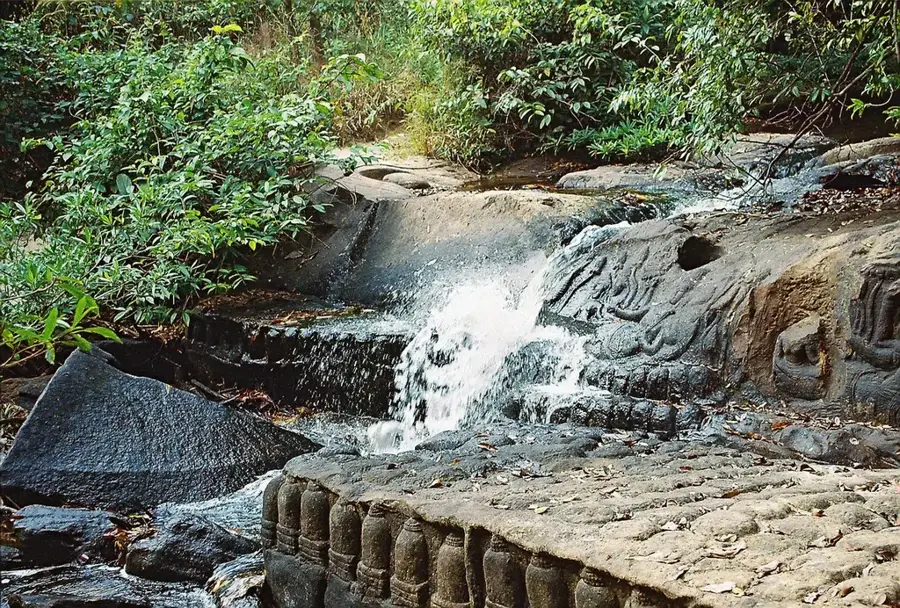
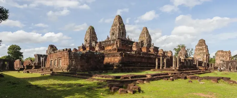
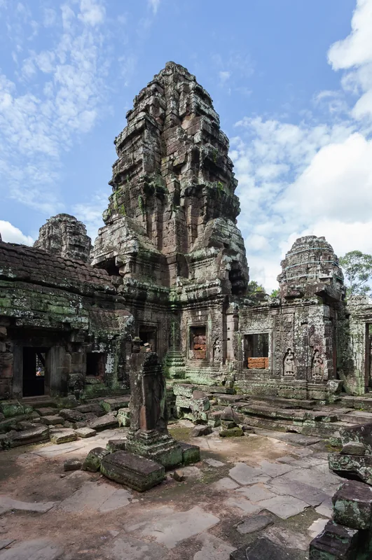
Explore nearby
Notable places around
Route planner — Car & Motorhome
Where do you start? We build the route here, with stops and country notes along the way.
© OpenStreetMap contributors · OpenRouteService
Sights nearby
Frequently asked questions
How high is Phnom Aural?
How long does the climb take?
Is the trail marked?
What should you bring?
Is there accommodation at the summit?
Phnom Aural: where is it located?
Phnom Aural: when is the best time to visit?
Phnom Aural: why is it worth visiting?

Nearby cities
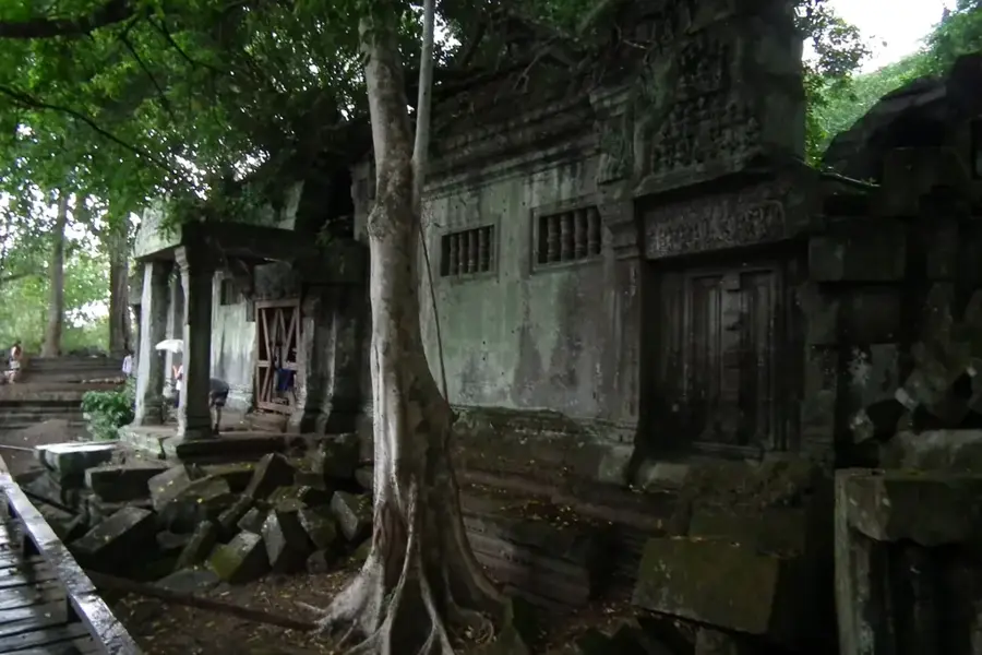
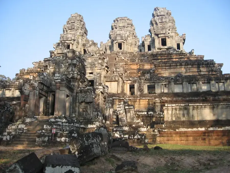
History & landmarks
Nature
More places