Plizio Visual Lab
Houndé
ℹ️Practical info — Houndé
▾
🌤 Weather — 5 days
📍 Nearby
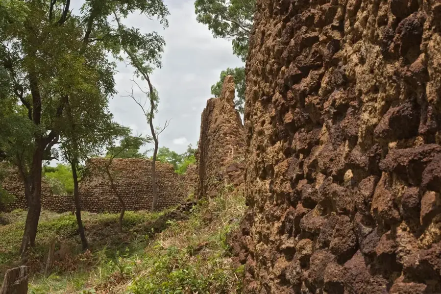
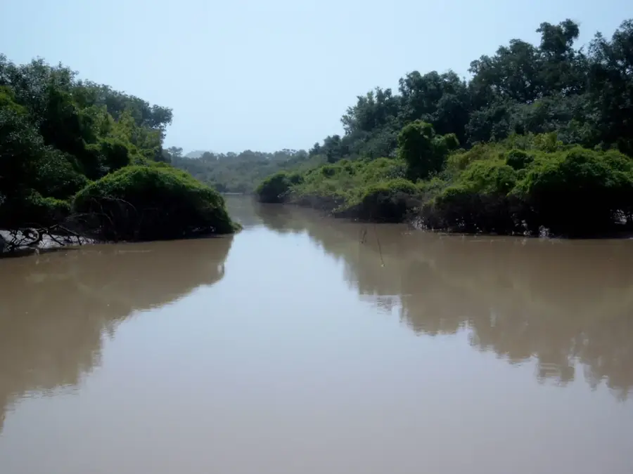
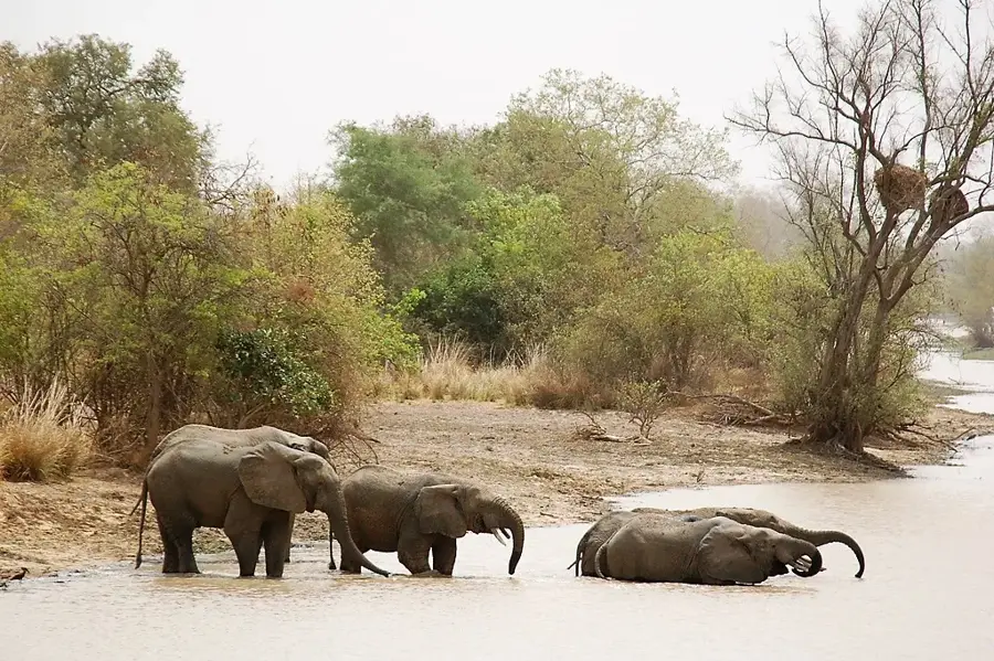
Sights nearby
💡 Tips
- Carry CFA francs in small denominations, as large bills are hard to change.
- Be prepared for intense heat and carry a refillable water bottle everywhere.
- Bring a light scarf to protect your face from dust on unpaved roads.
- Local bus stops are great for quick, cheap meals but can be quite chaotic.
🍽 Food
Taste this grilled free-range chicken at the bustling transit bus stops.
A hearty rice dish available at traditional open-air maquis (eateries).
Sweet yogurt and millet, often sold by street vendors in the evening.
🛍 Shopping · 🧘 Quiet spots
Get inspired by the patterns at the main local market.
Buy these from small roadside stands during the harvest season.
Convenient for a quiet walk towards the cotton fields, away from the traffic.
First-rate for reading or escaping the hot midday sun.
Water temperature…
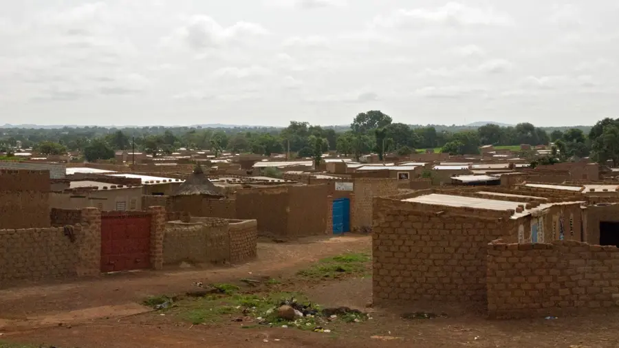
Houndé is the capital of Tuy Province in western Burkina Faso, situated strategically along the N1 national highway that connects the country's two largest cities, Ouagadougou and Bobo-Dioulasso. Over recent decades, the town has emerged as a significant economic powerhouse, driven primarily by large-scale cotton production and the discovery of substantial gold deposits in its vicinity. The mining industry has catalyzed rapid population growth and urban expansion, though it also presents complex environmental and social management issues. Historically, Houndé is a cultural center for the Bwaba people, whose elaborate mask dances and traditional ceremonies continue to be a vital part of the local heritage. The surrounding region is highly productive agriculturally, contributing significant quantities of grains and legumes to the national market alongside 'white gold' (cotton). The town serves as a key administrative and service hub, hosting government offices, secondary schools, and a regional hospital. Infrastructure development is ongoing to support the heavy traffic and the logistical needs of the burgeoning mining sector. Despite modernization, the connection to ancestral land and rural traditions remains a defining characteristic of life in Houndé.
- Location: Burkina Faso
- Nearby: Boni (12 km)
- Population: ~87.151 (2026)
Best time to visit & climate
The most pleasant time to visit is Jan, Nov, Dec.
| Jan | Feb | Mar | Apr | May | Jun | Jul | Aug | Sep | Oct | Nov | Dec | |
|---|---|---|---|---|---|---|---|---|---|---|---|---|
| Avg °C | 24 | 28 | 31 | 32 | 31 | 29 | 27 | 26 | 26 | 27 | 26 | 24 |
| Rain mm | 1 | 3 | 10 | 43 | 82 | 122 | 198 | 254 | 174 | 60 | 4 | 0 |
Geography
Facts
- Capital of Tuy Province in the Hauts-Bassins Region.
- Located approximately halfway between Ouagadougou and Bobo-Dioulasso.
- Home to one of the largest industrial gold mines in Burkina Faso.
- Renowned for the traditional Bwaba ethnic group mask festivals.
- A major processing hub for the SOFITEX cotton company.
- The population has more than doubled since the late 20th century due to mining.
Explore nearby
Notable places around
Route planner — Car & Motorhome
Where do you start? We build the route here, with stops and country notes along the way.
© OpenStreetMap contributors · OpenRouteService
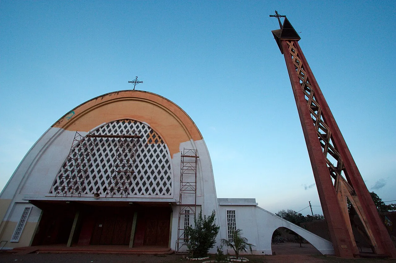
Sights in the town Houndé (1)
Frequently asked questions
Why is Houndé important?
Are there attractions?
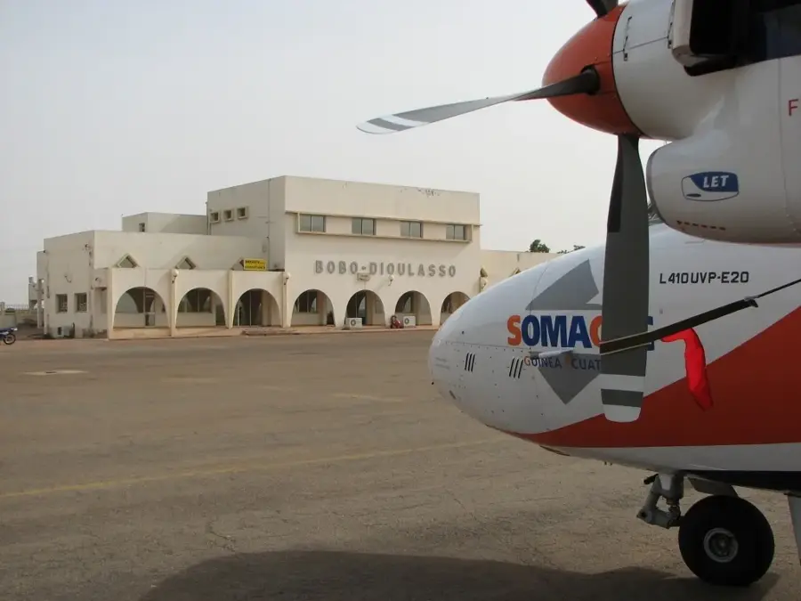
How to travel to Houndé?
What is the best time to visit?
Are there restaurants?
Houndé: where is it located?
Houndé: when is the best time to visit?
Houndé: why is it worth visiting?

Nearby cities


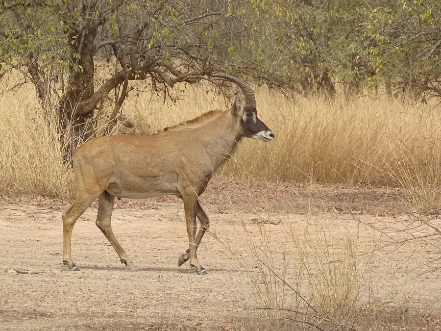
Nature

More places