Plizio Visual Lab
Niger River
Weather…
Water temperature…
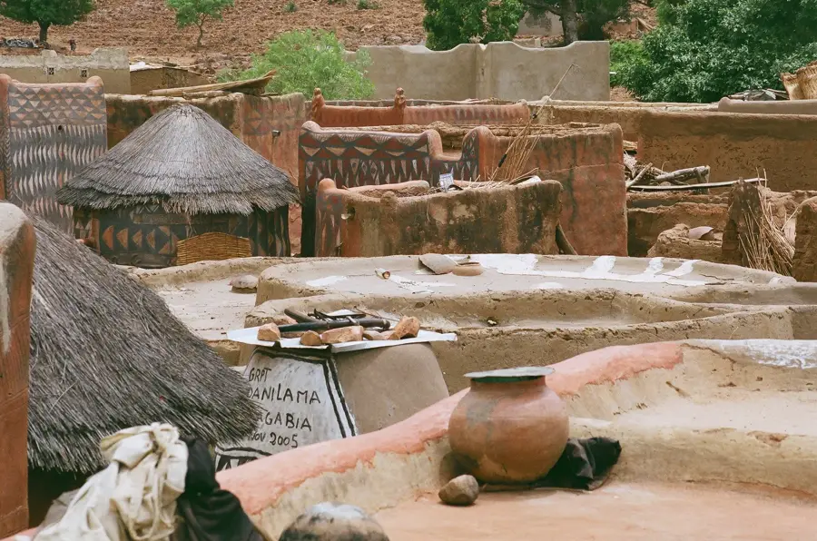
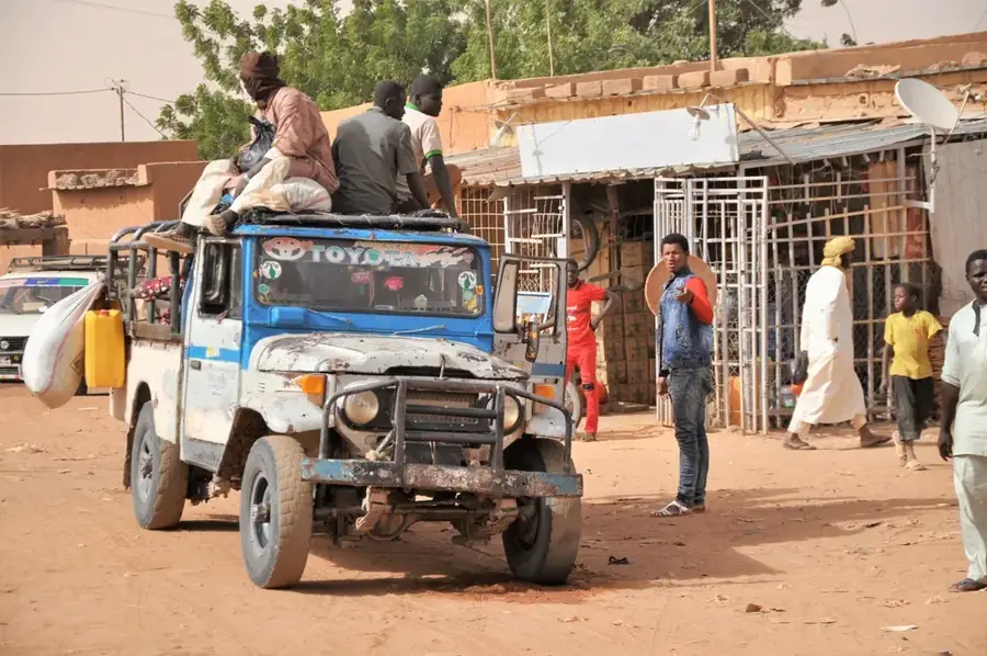
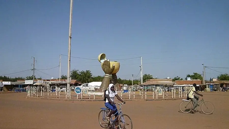
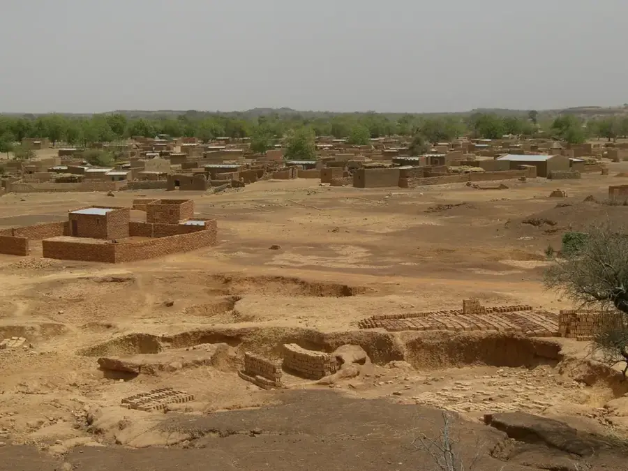
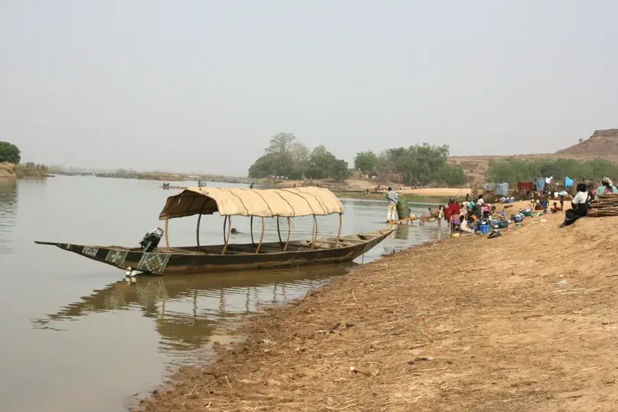
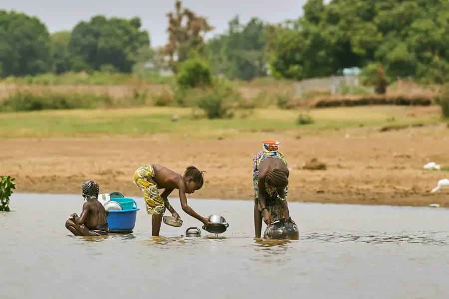
The Niger River, with a length of approximately 4,180 kilometers, is the third-longest river in Africa and forms a small but strategically significant portion of the border between Burkina Faso and the Republic of Niger. Although the river does not flow directly through Burkinabe territory, it is of great importance to the hydrology of the eastern part of the country, as many tributaries drain into its basin. The Niger Basin supports vital ecosystems that serve as habitats for numerous wildlife species, including hippos and crocodiles. For the regional economy, the river is an indispensable artery for transportation, fishing, and energy production through major dam projects in neighboring countries. Historically, the Niger was the setting for great African empires and remains a symbol of the cultural and economic interconnectedness of West African nations today. However, climatic changes and increasing desertification pose significant challenges to the river's water levels and fish stocks. In Burkina Faso, protecting the tributaries that feed the Niger is a key priority of national environmental policy.
Best time to visit & climate
The most pleasant time to visit is Jan, Feb, Dec.
| Jan | Feb | Mar | Apr | May | Jun | Jul | Aug | Sep | Oct | Nov | Dec | |
|---|---|---|---|---|---|---|---|---|---|---|---|---|
| Avg °C | 22 | 26 | 30 | 34 | 35 | 33 | 31 | 28 | 29 | 30 | 27 | 23 |
| Rain mm | 0 | 1 | 0 | 4 | 11 | 57 | 115 | 155 | 65 | 13 | 0 | 0 |
📋 Practical info
Geography
Facts
- The third-longest river in Africa at 4,180 km.
- Forms a portion of the border between Burkina Faso and Niger.
- Its drainage basin covers a vast part of West Africa.
- Historically vital to the Mali and Songhai Empires.
- Essential for regional transport, fishing, and hydropower.
- Recognized as a key transboundary water resource.
Explore nearby
Notable places around
Route planner — Car & Motorhome
Where do you start? We build the route here, with stops and country notes along the way.
© OpenStreetMap contributors · OpenRouteService
Sights nearby
Frequently asked questions
How long is the Niger River?
Can you sail on the Niger?
Are there crocodiles in the Niger?
Which peoples live on the banks?
Is the Niger an important transport route?
Niger River: where is it located?
Niger River: when is the best time to visit?
Niger River: why is it worth visiting?

Nearby cities

Nature
More places