Plizio Visual Lab
Pirin Mountain Ridge
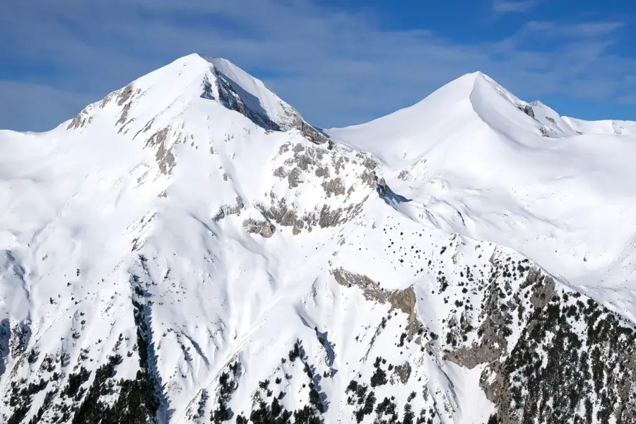
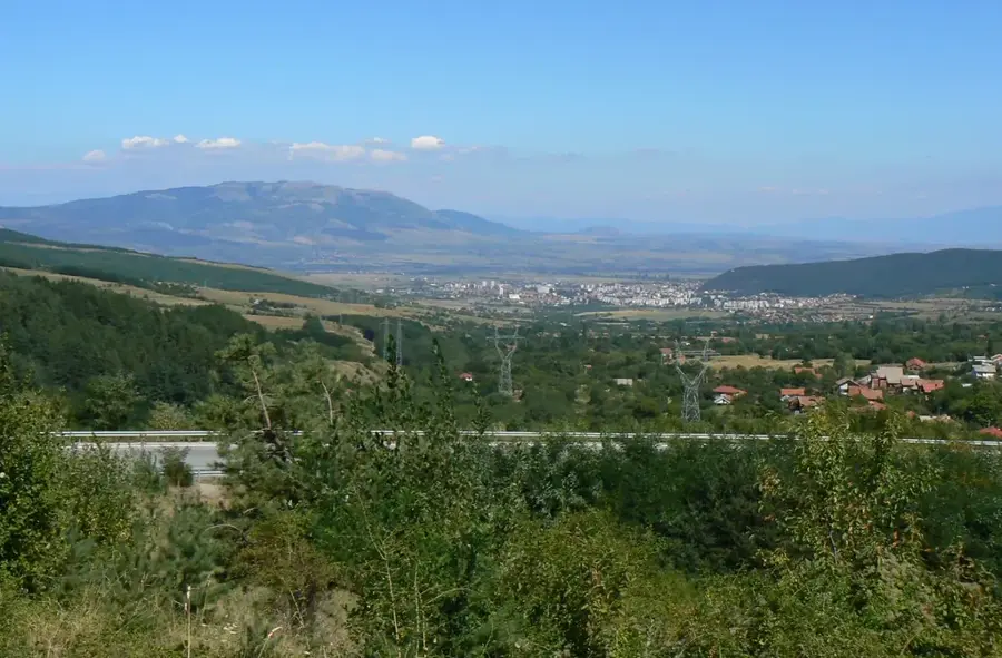
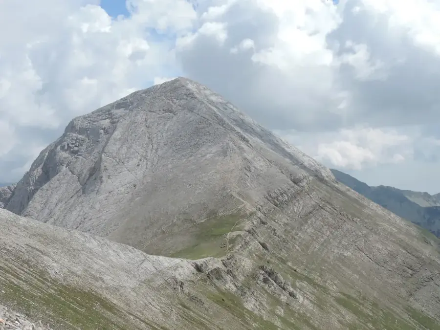
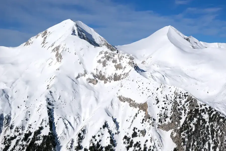
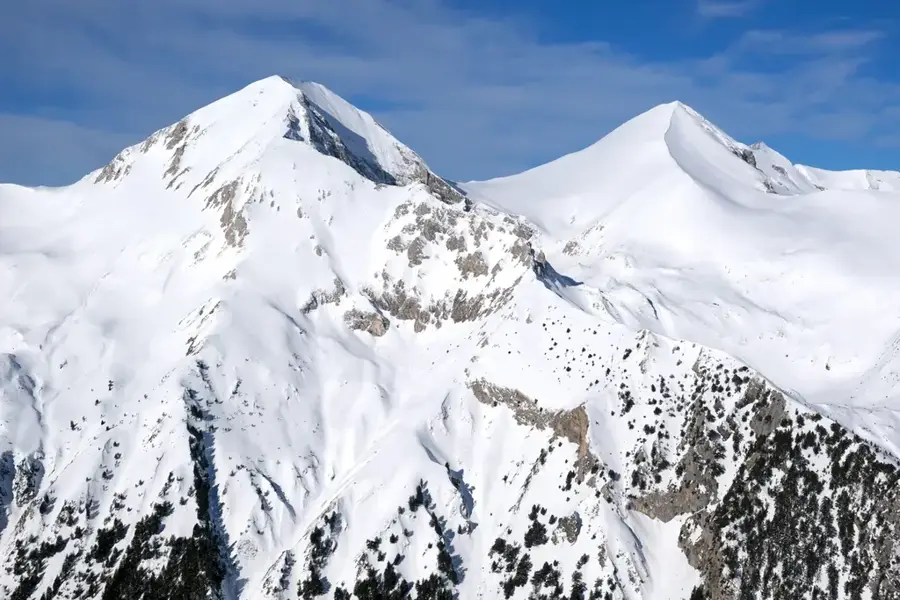
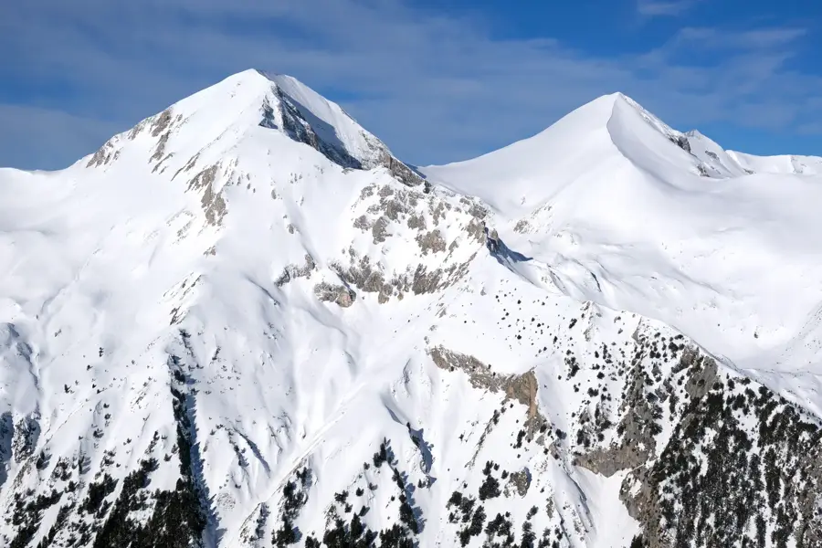
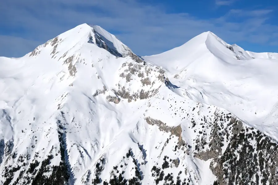
The Pirin Mountain range in southwestern Bulgaria is famous for its dramatic alpine relief, characterized by jagged ridges and extensive glacial landforms. Spanning approximately 80 kilometers, the range features a unique geological split: the northern part is composed of white marble, while the central and southern sections consist of solid granite. This lithological diversity gives Pirin its striking appearance, with bright, sharp peaks contrasting against darker, rounded granite massifs. During the last Ice Age, glaciers carved out deep cirques, U-shaped valleys, and over 180 high-altitude glacial lakes that now dot the landscape. The main ridge is among the highest in the Balkans, with dozens of peaks exceeding 2,500 meters in elevation. Erosion has created iconic features like the razor-sharp Koncheto ridge, which provides a thrilling challenge for mountaineers. The rugged terrain provides excellent conditions for winter sports, particularly around Bansko, and serves as a world-class destination for rock climbing and high-altitude hiking.
Explore on the map
How well do you know Bulgaria?
Find cities, landscapes and regions in 10 varied challenges on the interactive map.
Your journey, your memory
A postcard from Pirin Mountain Ridge
Turn your own photo into a personal postcard with a local stamp. Free and no sign-up required.
Create a postcard- Location: Bulgaria
- Nearby: Razlog (15 km)
Best time to visit & climate
The most pleasant time to visit is Jun–Aug.
| Jan | Feb | Mar | Apr | May | Jun | Jul | Aug | Sep | Oct | Nov | Dec | |
|---|---|---|---|---|---|---|---|---|---|---|---|---|
| Avg °C | -4 | -2 | 1 | 6 | 11 | 15 | 17 | 17 | 13 | 8 | 3 | -2 |
| Rain mm | 57 | 48 | 61 | 60 | 72 | 80 | 59 | 49 | 51 | 53 | 44 | 60 |
📋 Practical info
Geography
Facts
- The mountain range covers an area of 2,585 square kilometers.
- Vihren Peak is the highest point of the range at 2,914 meters.
- There are 186 permanent glacial lakes within the Pirin relief.
- The main mountain ridge extends for approximately 80 kilometers.
- The range was listed as a UNESCO World Heritage site in 1983.
- Granite and marble are the two primary geological components of the ridge.
Explore nearby
Notable places around



Route planner — Car & Motorhome
Where do you start? We build the route here, with stops and country notes along the way.
© OpenStreetMap contributors · OpenRouteService
Sights nearby
Frequently asked questions
What is the most prominent peak in the Pirin main ridge?
Is the ridge trail (Koncheto) dangerous?
What flora is typical for the Pirin ridge?
Is Pirin part of the UNESCO World Heritage?
Are there glacial lakes near the ridge?
Pirin Mountain Ridge: where is it located?
Pirin Mountain Ridge: when is the best time to visit?
Pirin Mountain Ridge: why is it worth visiting?

Nearby cities