Plizio Visual Lab
Octávio Frias de Oliveira Bridge
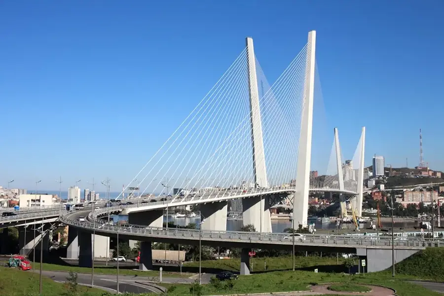
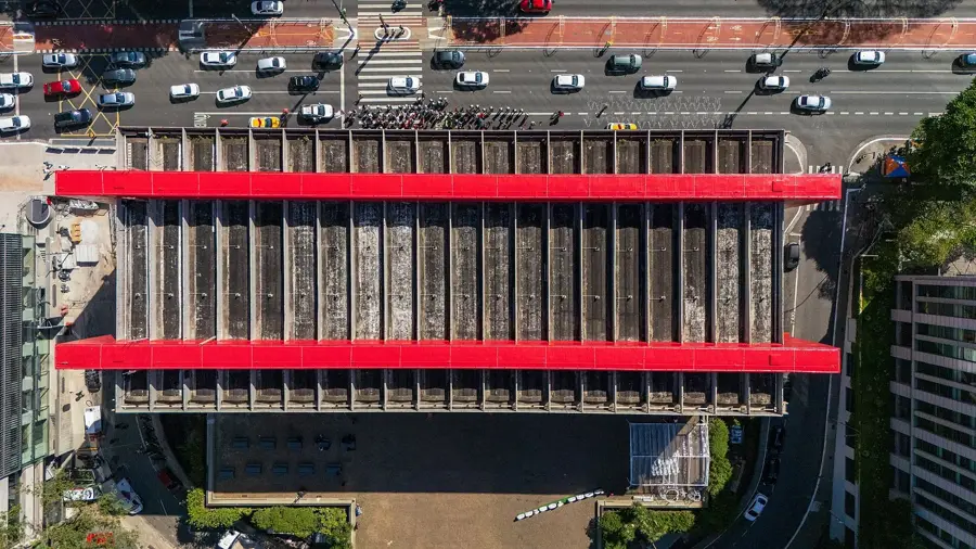
The Octávio Frias de Oliveira Bridge, commonly known as Ponte Estaiada, is a landmark cable-stayed bridge located in São Paulo, Brazil. Opened in May 2008, it spans the Pinheiros River and connects the Marginal Pinheiros expressway to Jornalista Roberto Marinho Avenue. Its most striking feature is the X-shaped support tower, which rises 138 meters above the river and supports two levels of curved road tracks. This architectural design is unique globally, being the only bridge where two curved decks are supported by a single X-shaped pylon. The structure is anchored by 144 yellow steel cables that are illuminated at night by a sophisticated LED system capable of various color displays. Named after an influential Brazilian media mogul, the bridge has become a symbol of the city's modernization and urban growth, frequently appearing in media and postcards of São Paulo.
- Location: Brazil
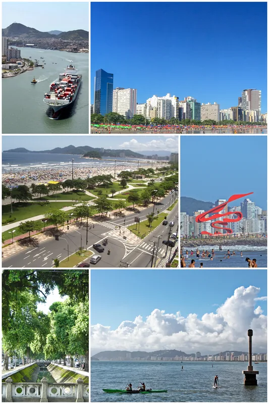
- Top sights: Museu de Arqueologia e Etnologia · Museu de Oceanografia · Museu de Geociências
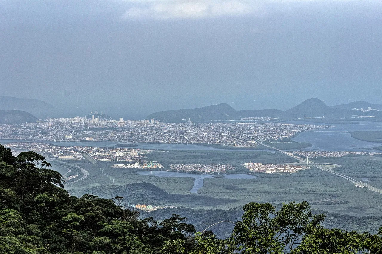
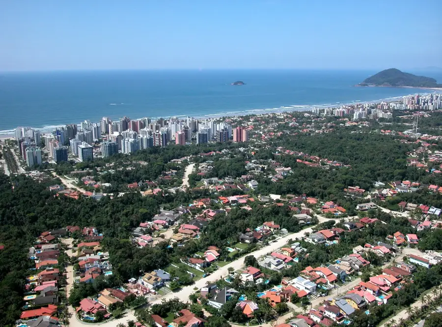
- Nearby: Diadema (10 km)
Best time to visit & climate
The most pleasant time to visit is Apr, Aug, Sep.
| Jan | Feb | Mar | Apr | May | Jun | Jul | Aug | Sep | Oct | Nov | Dec | |
|---|---|---|---|---|---|---|---|---|---|---|---|---|
| Avg °C | 23 | 23 | 22 | 21 | 18 | 17 | 17 | 18 | 20 | 21 | 21 | 22 |
| Rain mm | 228 | 178 | 153 | 91 | 68 | 55 | 62 | 37 | 68 | 106 | 151 | 184 |
📋 Practical info
Geography
Facts
- The bridge was officially inaugurated on May 10, 2008.
- The X-shaped tower stands at a height of 138 meters.
- It features 144 stay cables that support the weight of the decks.
- The main span of the bridge is approximately 290 meters long.
- It is the only bridge in the world with two curved tracks at one tower.
- The structure used roughly 58,000 cubic meters of concrete.
Explore nearby
Notable places around
Route planner — Car & Motorhome
Where do you start? We build the route here, with stops and country notes along the way.
© OpenStreetMap contributors · OpenRouteService
Sights in the town Octávio Frias de Oliveira Bridge (18)
Parque do Povo🌳 park
This park features specialized tracks for cycling and skateboarding along with public chess tables.
Sights nearby
Frequently asked questions
Where is the Ponte Estaiada located?
Can you walk across the bridge?
When is the bridge illuminated?
Where is the best view of the bridge?
Why is this bridge so special?
Octávio Frias de Oliveira Bridge: where is it located?
Octávio Frias de Oliveira Bridge: what is there to see?
Octávio Frias de Oliveira Bridge: when is the best time to visit?
Octávio Frias de Oliveira Bridge: why is it worth visiting?

Nearby cities


History & landmarks


More places