Plizio Visual Lab
Ilhabela
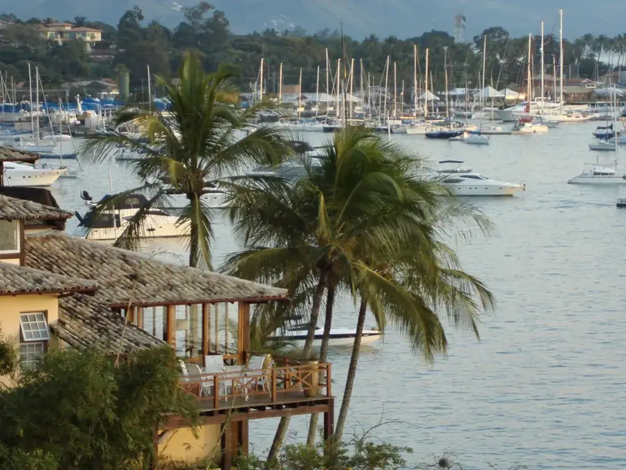
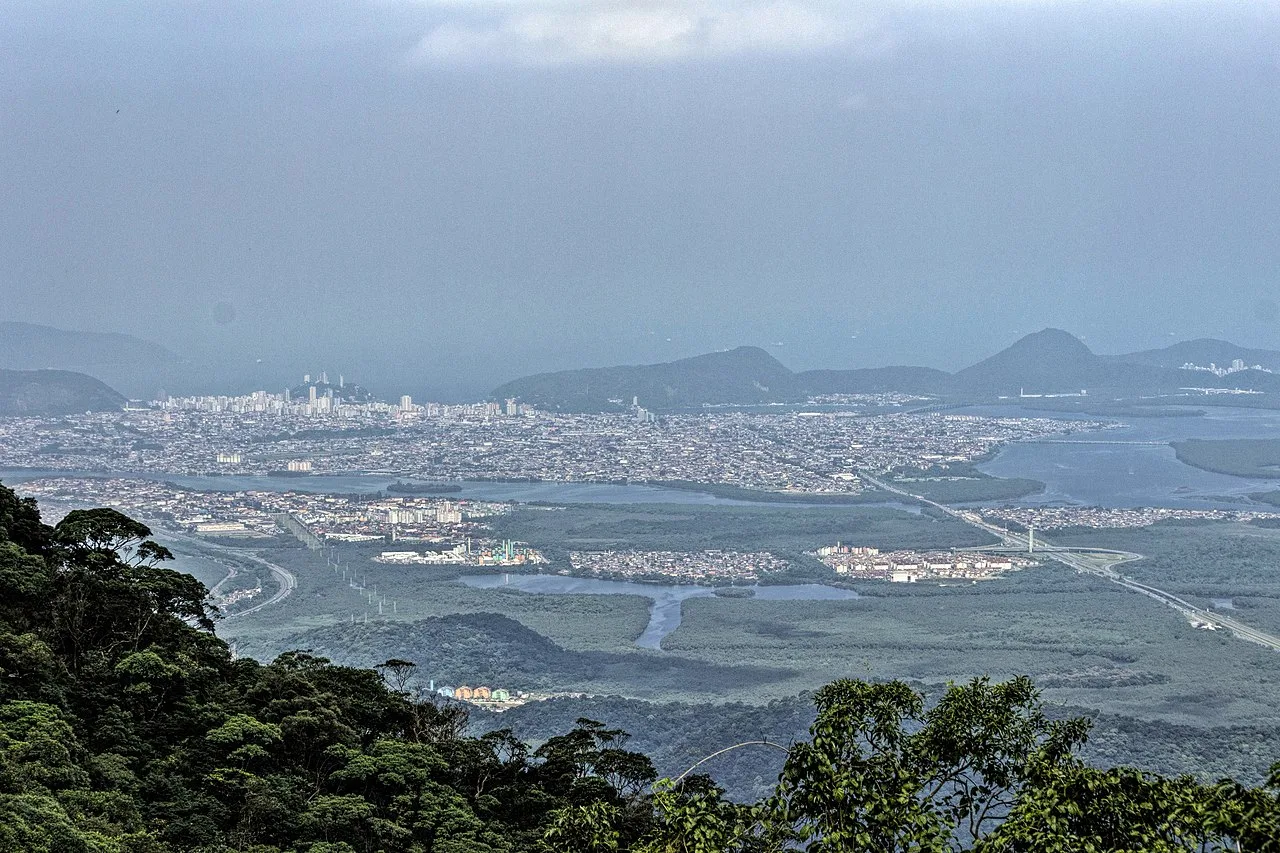
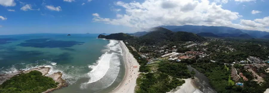
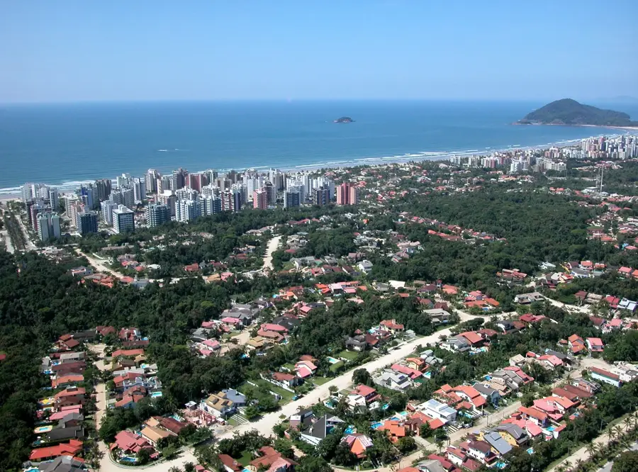
Ilhabela is an archipelago and municipality in the state of São Paulo, located about 200 kilometers east of the state capital. The main island, São Sebastião, covers 347 square kilometers and is characterized by an extremely mountainous relief, dominated by Pico do Japi at 1,307 meters. Approximately 85% of the island's area is protected by the Ilhabela State Park, which encompasses one of the best-preserved remnants of the Atlantic Forest (Mata Atlântica) in Brazil. The island is famous for its high density of waterfalls, with over 300 documented, and its diverse coastline featuring sheltered western beaches and rugged eastern shores. Historically, the region was an important hub for coffee and sugarcane production during the 19th century, with ruins of old plantations (fazendas) still present today. Nowadays, Ilhabela is known as the 'Sailing Capital of Brazil' and hosts prestigious international regattas annually. The local fauna includes rare species like the ocelot and numerous endemic birds that find refuge in the dense forests of the state park.
- Location: Brazil
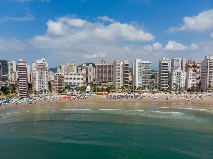
- Top sights: Pico de São Sebastião · Praia de Barequeçaba · Praia de Guaecá
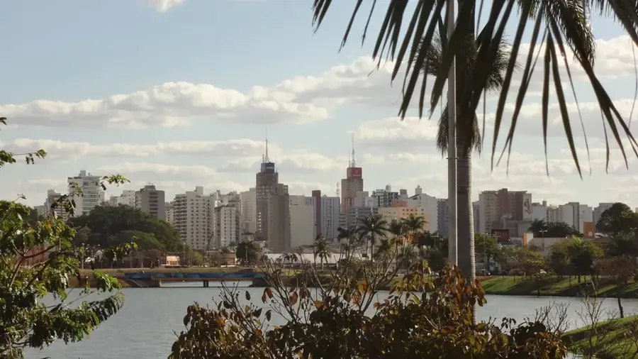
- Nearby: Ilhabela (4 km)
Best time to visit & climate
The most pleasant time to visit is Jun, Aug, Sep.
| Jan | Feb | Mar | Apr | May | Jun | Jul | Aug | Sep | Oct | Nov | Dec | |
|---|---|---|---|---|---|---|---|---|---|---|---|---|
| Avg °C | 26 | 26 | 25 | 24 | 22 | 21 | 20 | 20 | 21 | 22 | 23 | 24 |
| Rain mm | 202 | 170 | 145 | 97 | 66 | 53 | 62 | 42 | 66 | 99 | 133 | 166 |
📋 Practical info
Geography
Facts
- The main island, São Sebastião, covers 347 square kilometers.
- Pico do Japi is the highest peak at 1,307 meters.
- About 85% of the island's territory is legally protected.
- There are over 300 documented waterfalls on the archipelago.
- Ilhabela is officially known as the Sailing Capital of Brazil.
- The island is located on average 4 kilometers from the mainland.
Explore nearby
Notable places around
Route planner — Car & Motorhome
Where do you start? We build the route here, with stops and country notes along the way.
© OpenStreetMap contributors · OpenRouteService
Sights in the town Ilhabela (12)
Sights nearby
Frequently asked questions
Why is it called Ilhabela?
How do you get to the island?
Are there many mosquitoes?
What is the best activity?
Which beaches are the best?
Ilhabela: where is it located?
Ilhabela: what is there to see?
Ilhabela: when is the best time to visit?
Ilhabela: why is it worth visiting?

Nearby cities


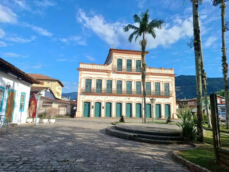
History & landmarks
More places