Plizio Visual Lab
Pico da Bandeira
Weather…
Water temperature…
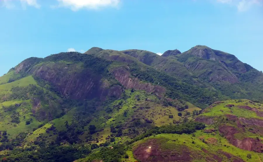
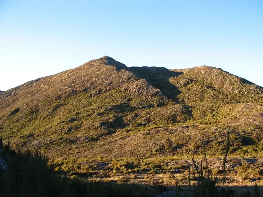
Pico da Bandeira is Brazil's third highest mountain, standing at 2,891 meters on the border between the states of Espírito Santo and Minas Gerais. It is located within the Caparaó National Park, established in 1961 to preserve the high-altitude Atlantic Forest ecosystems of the region. The peak received its name in the mid-19th century from Emperor Dom Pedro II, who ordered the national flag to be raised at what was then believed to be the highest point in Brazil. It held the title of the nation's tallest summit until the 1960s, when modern surveys identified higher peaks along the northern border with Venezuela. The mountain is a popular hiking destination with well-defined trails that offer expansive views of the Serra do Caparaó range. Due to its significant elevation, the summit area experiences a microclimate with freezing temperatures and frost common during the winter months.
- Location: Brazil
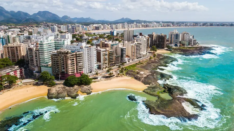
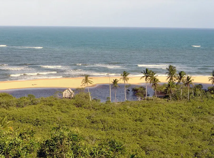
- Top sights: Vale Encantado · Pico do Cristal · Vale Verde
Best time to visit & climate
The most pleasant time to visit is Jun, Aug, Sep.
| Jan | Feb | Mar | Apr | May | Jun | Jul | Aug | Sep | Oct | Nov | Dec | |
|---|---|---|---|---|---|---|---|---|---|---|---|---|
| Avg °C | 22 | 22 | 22 | 20 | 18 | 17 | 17 | 18 | 20 | 21 | 21 | 22 |
| Rain mm | 179 | 122 | 145 | 76 | 47 | 23 | 20 | 19 | 47 | 91 | 193 | 246 |
📋 Practical info
Geography
Facts
- The official height of the peak is 2,891 meters
- It marks the border between Espírito Santo and Minas Gerais
- The Caparaó National Park was established in 1961
- Named following a decree by Emperor Dom Pedro II
- Held the record for Brazil's highest point until the 1960s
- Winter temperatures at the summit can drop below 0°C
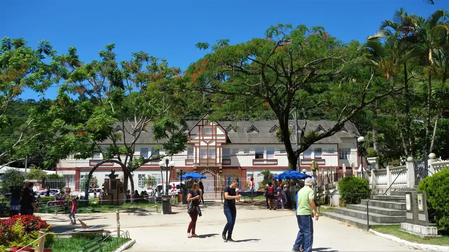
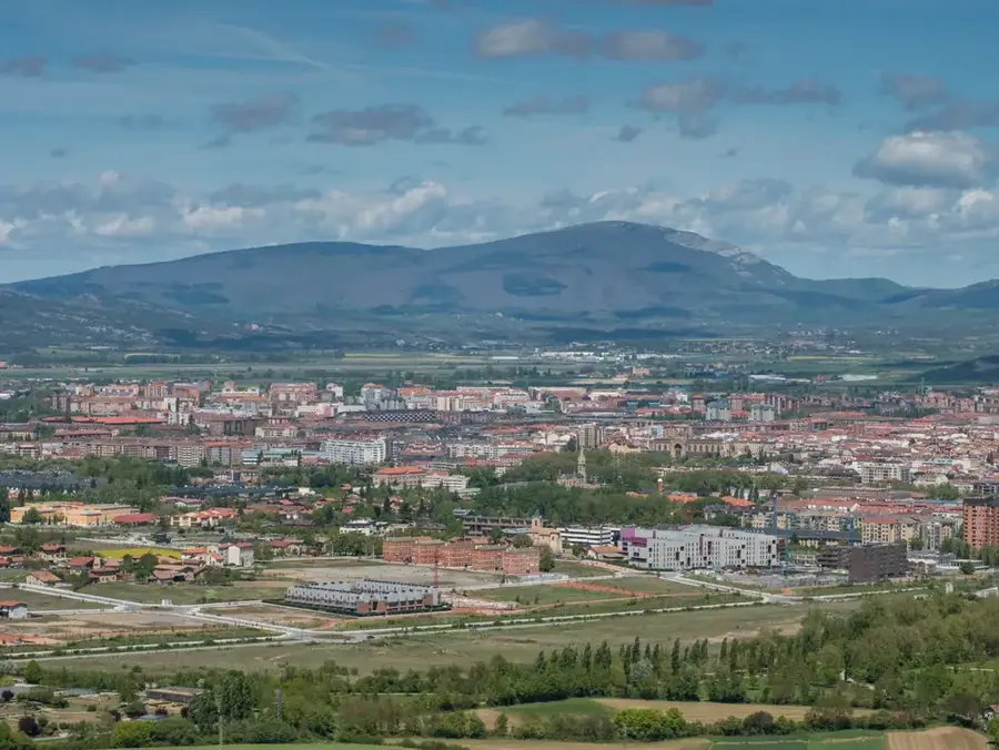
Explore nearby
Notable places around
Route planner — Car & Motorhome
Where do you start? We build the route here, with stops and country notes along the way.
© OpenStreetMap contributors · OpenRouteService
Sights in the town Pico da Bandeira (6)
Sights nearby
Frequently asked questions
Where is Pico da Bandeira located?
How high is it?
Is the climb possible for beginners?
When should you climb the mountain?
Are there camping facilities there?
Pico da Bandeira: where is it located?
Pico da Bandeira: what is there to see?
Pico da Bandeira: when is the best time to visit?
Pico da Bandeira: why is it worth visiting?

Nearby cities