Plizio Visual Lab
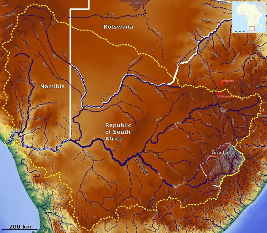
Gaborone Dam

Weather…
Water temperature…
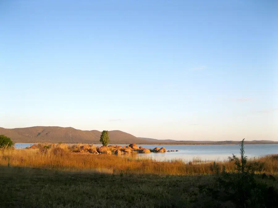
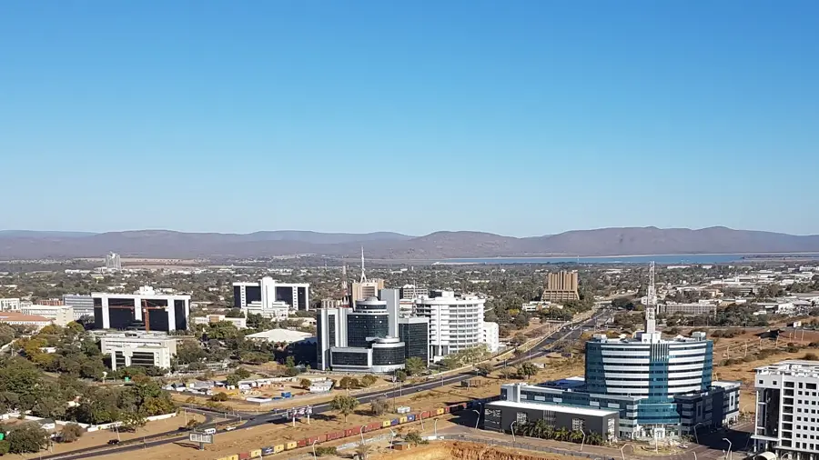
The Gaborone Dam was completed in 1964 and serves as the primary water source for the capital city, Gaborone, and the town of Lobatse. This earth-fill embankment dam stands 25 meters high with a crest length of approximately 3.7 kilometers. With a storage capacity of about 141 million cubic meters, the dam is essential for the region's economic stability and ongoing urban development. During severe drought periods, the water level often drops to critical lows, highlighting Botswana's reliance on seasonal rainfall and the challenges of water management. The reservoir and its surroundings are managed by the Water Utilities Corporation and offer various recreational activities, including fishing, sailing, and birdwatching. The dam marks a significant infrastructure milestone from the independence era and remains a symbol of the nation's efforts to secure water resources in a semi-arid environment. Its proximity to the city makes it a popular weekend getaway for residents seeking natural surroundings.
Best time to visit & climate
The most pleasant time to visit is Apr, May, Sep.
| Jan | Feb | Mar | Apr | May | Jun | Jul | Aug | Sep | Oct | Nov | Dec | |
|---|---|---|---|---|---|---|---|---|---|---|---|---|
| Avg °C | 27 | 27 | 25 | 21 | 18 | 14 | 14 | 17 | 22 | 25 | 26 | 27 |
| Rain mm | 90 | 77 | 69 | 40 | 8 | 7 | 1 | 1 | 11 | 34 | 68 | 96 |
📋 Practical info
Geography
Facts
- Construction completed in the year 1964
- Total storage capacity: 141.4 million m³
- Crest length of the dam: 3.7 kilometers
- Maximum structural height: 25 meters
- Primary water supply for Gaborone and Lobatse
- Managed by the Water Utilities Corporation
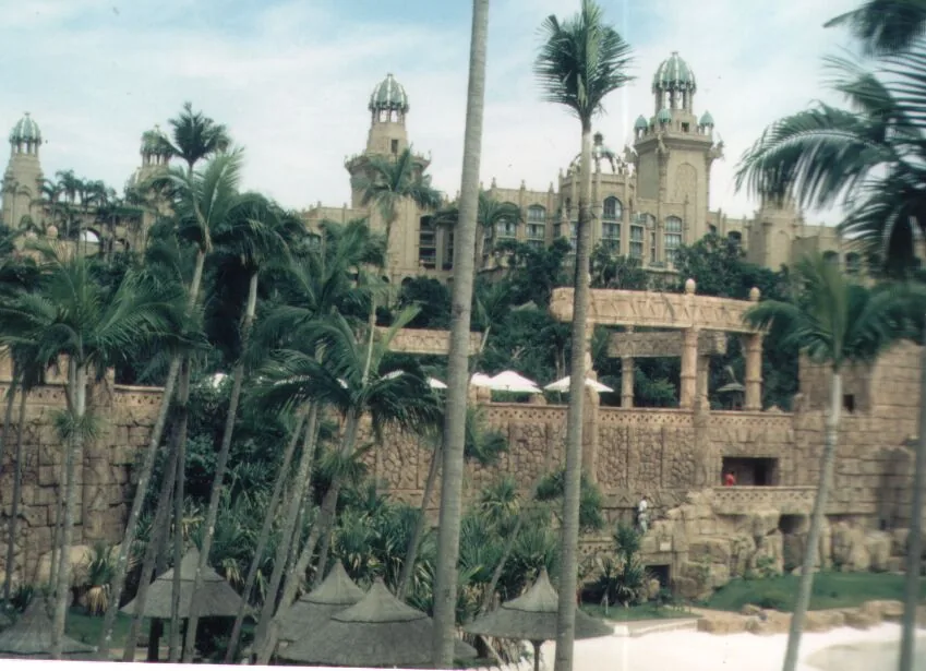
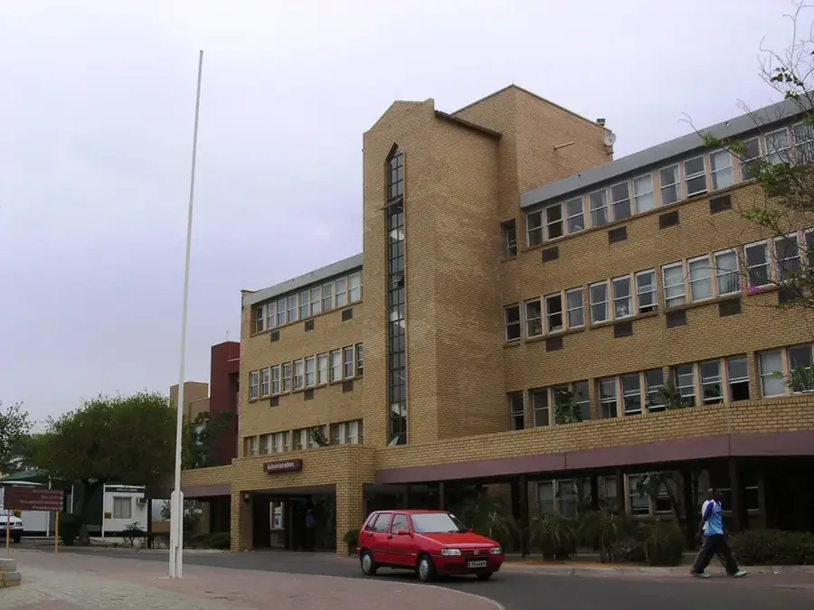
Explore nearby
Notable places around
Route planner — Car & Motorhome
Where do you start? We build the route here, with stops and country notes along the way.
© OpenStreetMap contributors · OpenRouteService
Sights nearby
Frequently asked questions
What can you do at the Gaborone Dam?
Is swimming allowed in the reservoir?
Are there barbecue areas?
How do you access the dam?
Can you do bird watching there?
Gaborone Dam: where is it located?
Gaborone Dam: when is the best time to visit?
Gaborone Dam: why is it worth visiting?

History & landmarks


More places