Plizio Visual Lab
Kwebe Hills

Weather…
Water temperature…
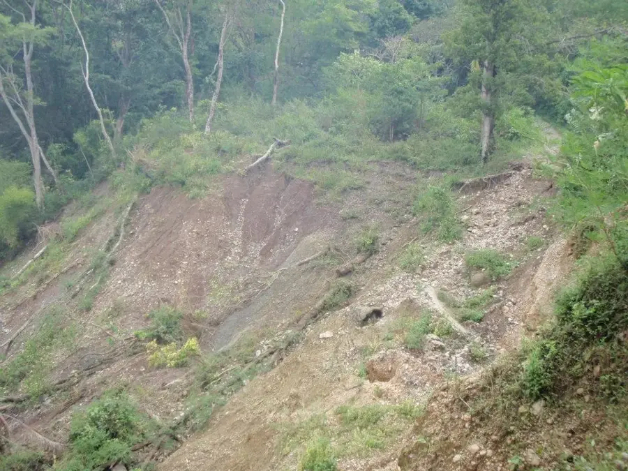
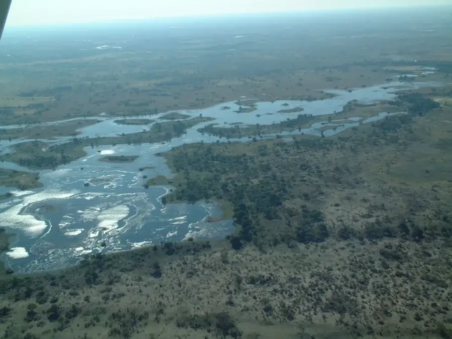
The Kwebe Hills are a historically and culturally significant range in northwestern Botswana, situated about 50 kilometers south of Lake Ngami. Composed of volcanic rock, these hills rise prominently from the surrounding Kalahari plains and served as strategic refuges in the past. The Kwebe Hills gained prominence primarily through the London Missionary Society (LMS), which established a mission station here in the late 19th century under the direction of David Livingstone's associates. The ruins of this station and the graves of early settlers remain today as witnesses to colonial history and the efforts to proselytize the local Batawana population. Archaeological sites around the hills indicate habitation since the Iron Age, as the elevated terrain often provided better access to water resources. The vegetation is characteristic of dry savanna, with many myrrh trees and Commiphora species dominating the rocky landscape. Today, the Kwebe Hills are a destination for history buffs and hikers seeking the tranquility of the Botswana wilderness away from the major tourist routes. The geological formation of the hills is part of an ancient volcanic chain that extends into Namibia.
Best time to visit & climate
The most pleasant time to visit is May, Aug, Sep.
| Jan | Feb | Mar | Apr | May | Jun | Jul | Aug | Sep | Oct | Nov | Dec | |
|---|---|---|---|---|---|---|---|---|---|---|---|---|
| Avg °C | 28 | 27 | 26 | 24 | 20 | 17 | 16 | 20 | 24 | 28 | 29 | 28 |
| Rain mm | 113 | 104 | 76 | 31 | 3 | 4 | 0 | 1 | 3 | 18 | 46 | 97 |
📋 Practical info
Geography
Facts
- The Kwebe Hills served as a mission location for the London Missionary Society in the 1890s.
- Associates of David Livingstone, including James Reid, were stationed at this mission.
- The hills reach an elevation of approximately 1,100 to 1,200 meters above sea level.
- Geologically, they consist of porphyry, a volcanic rock dating back to the Precambrian era.
- Archaeologists discovered evidence of Iron Age trade links extending to the coast.
- The nearby Toteng Dam is a major local water infrastructure project.
Explore nearby
Notable places around
Route planner — Car & Motorhome
Where do you start? We build the route here, with stops and country notes along the way.
© OpenStreetMap contributors · OpenRouteService
Sights nearby
Frequently asked questions
Where are the Kwebe Hills located?
Are the hills suitable for mountain climbing?
Are there archaeological finds there?
What vegetation prevails there?
Can you camp there?
Kwebe Hills: where is it located?
Kwebe Hills: when is the best time to visit?
Kwebe Hills: why is it worth visiting?

History & landmarks
More places