Plizio Visual Lab
Blidinje Nature Park
Weather…
Water temperature…
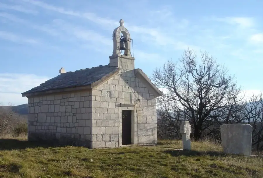
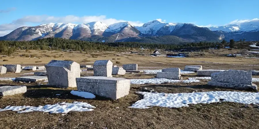
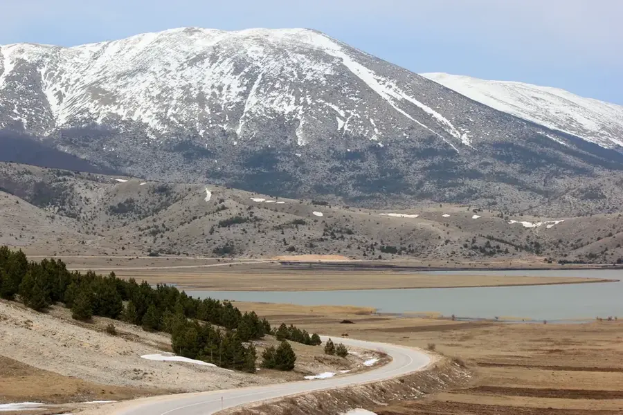
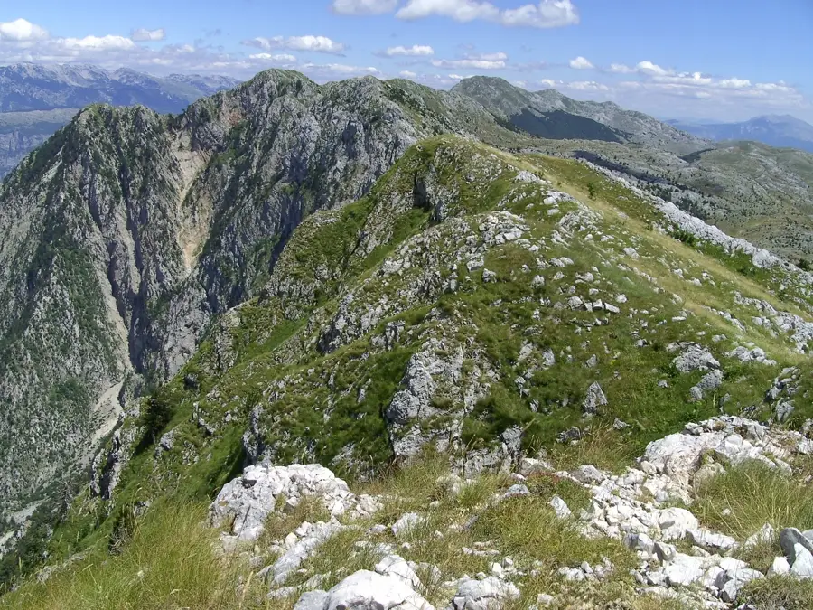
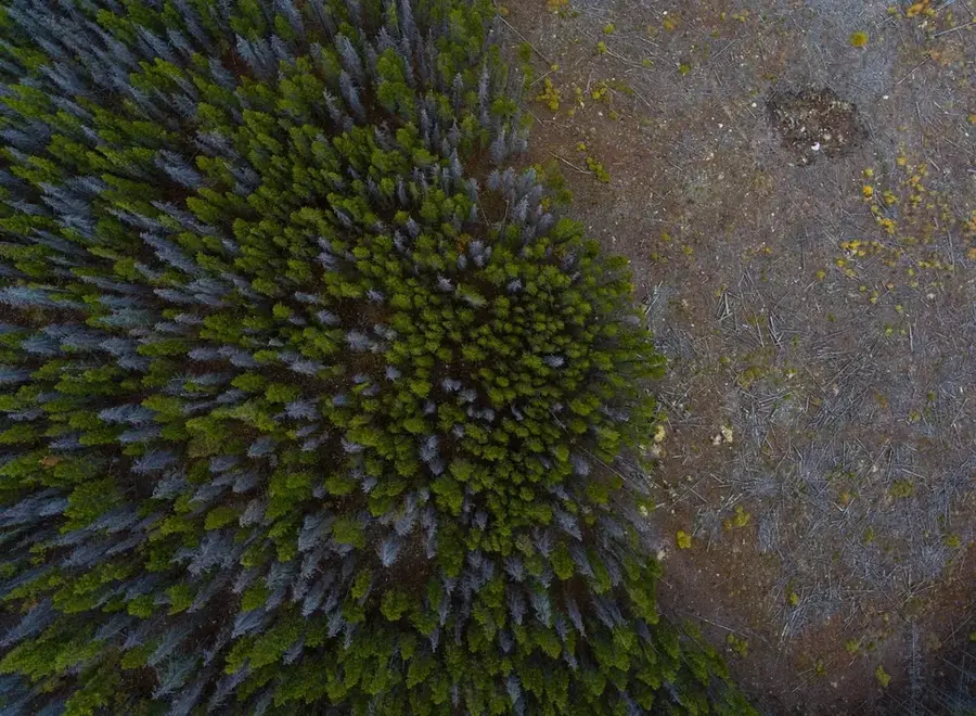
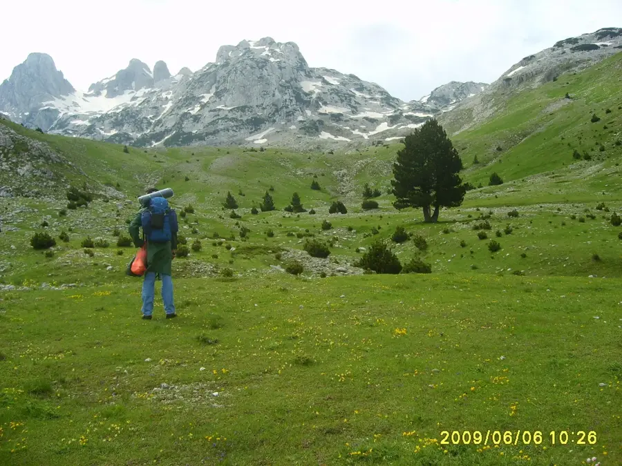
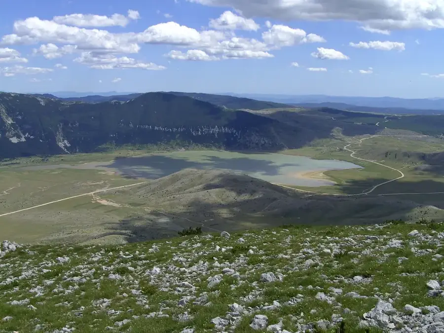
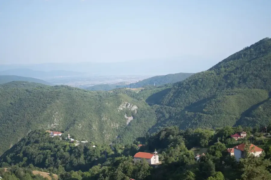
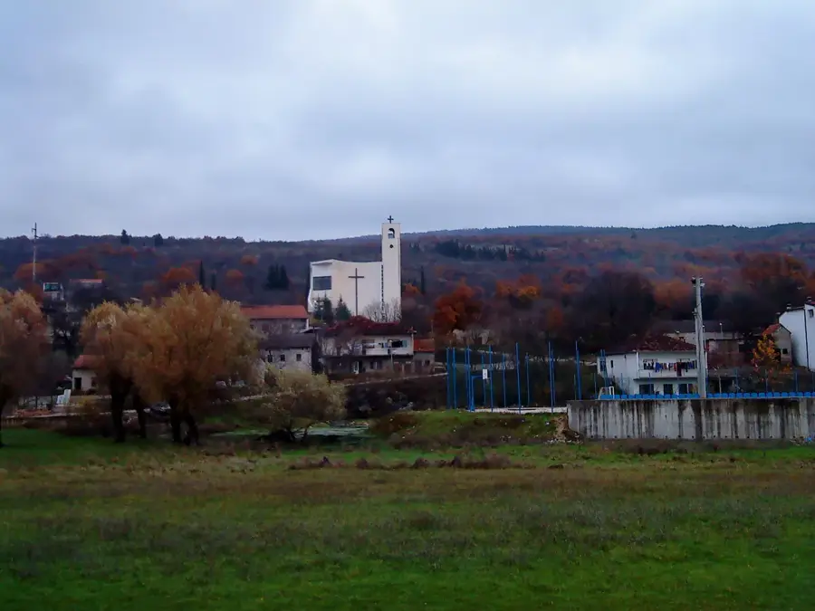
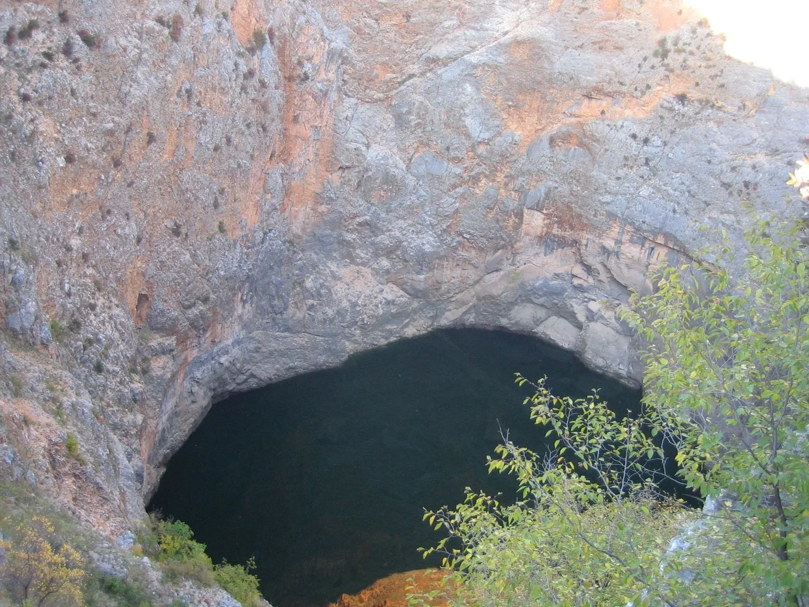
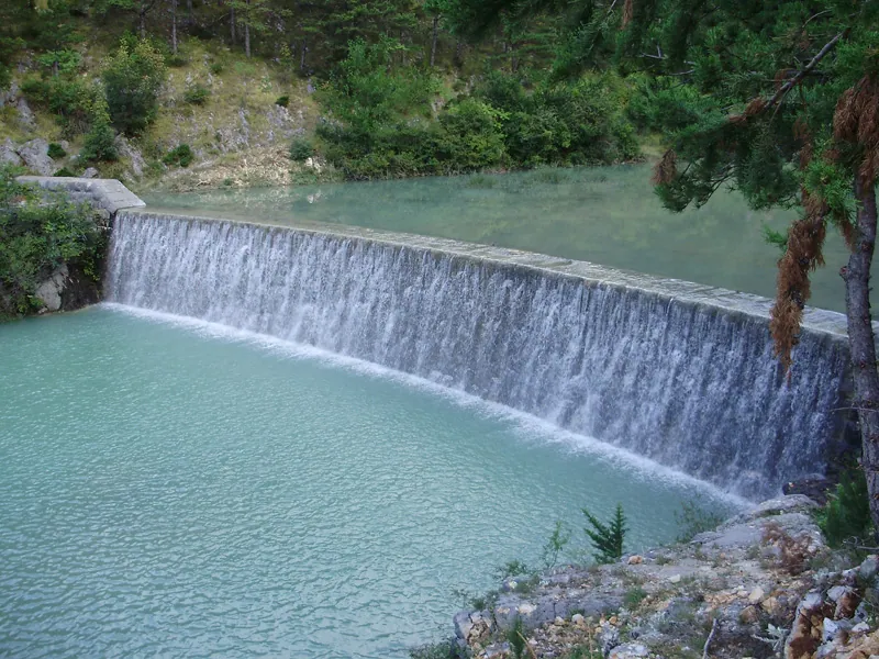
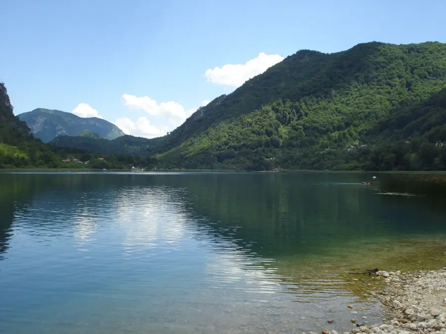
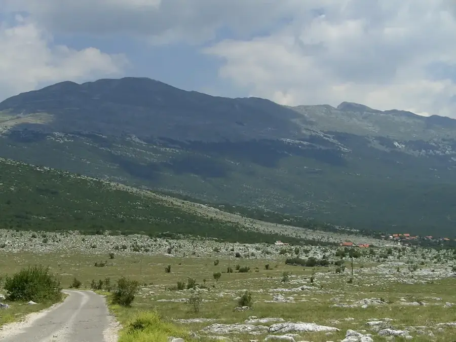
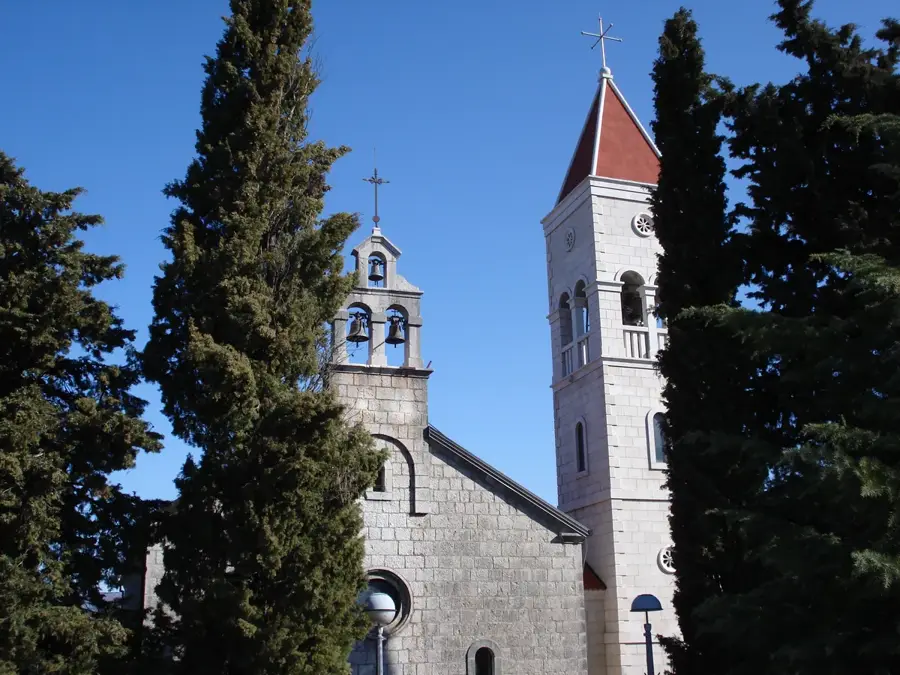
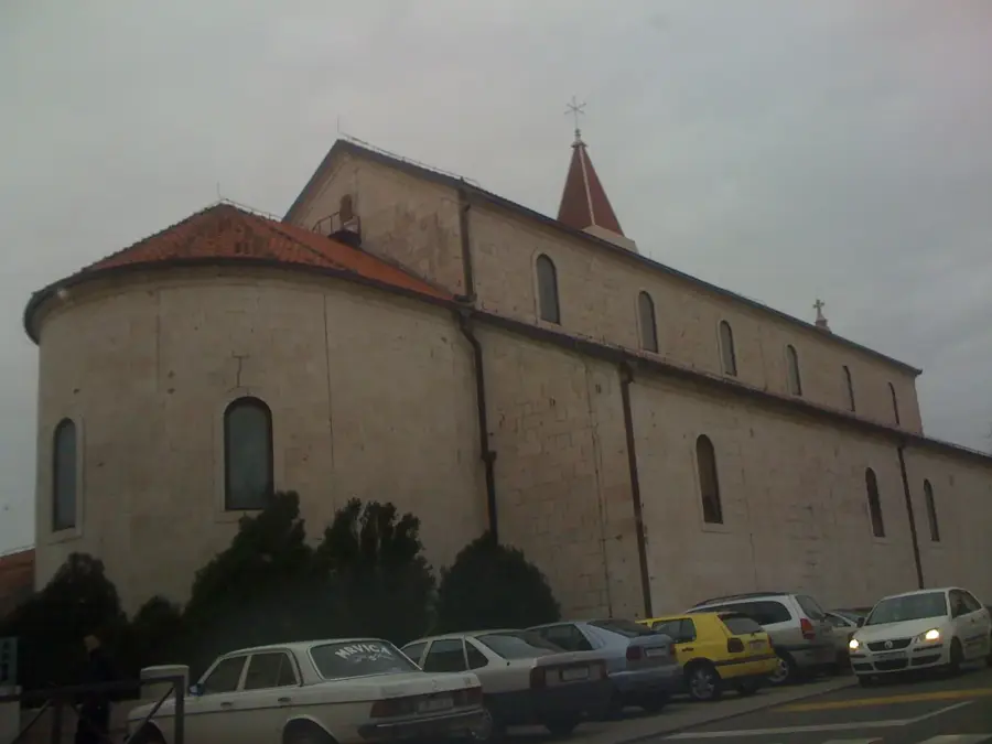
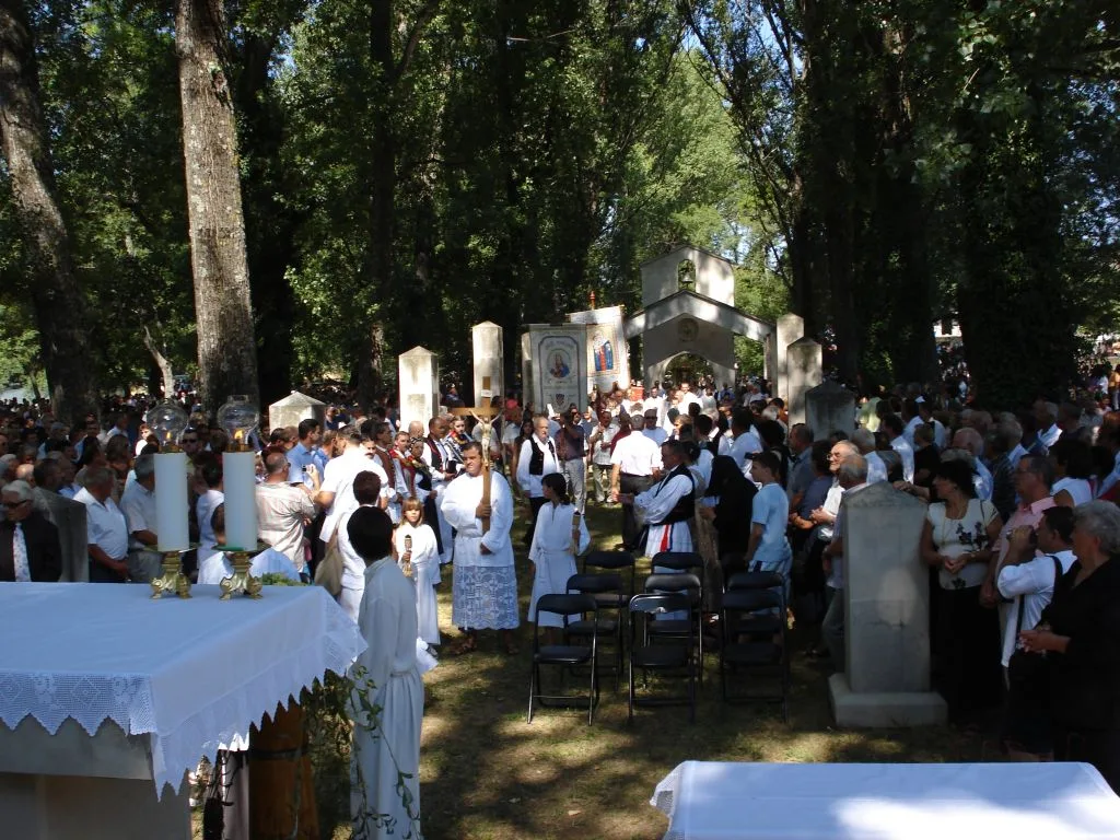
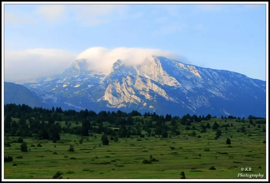
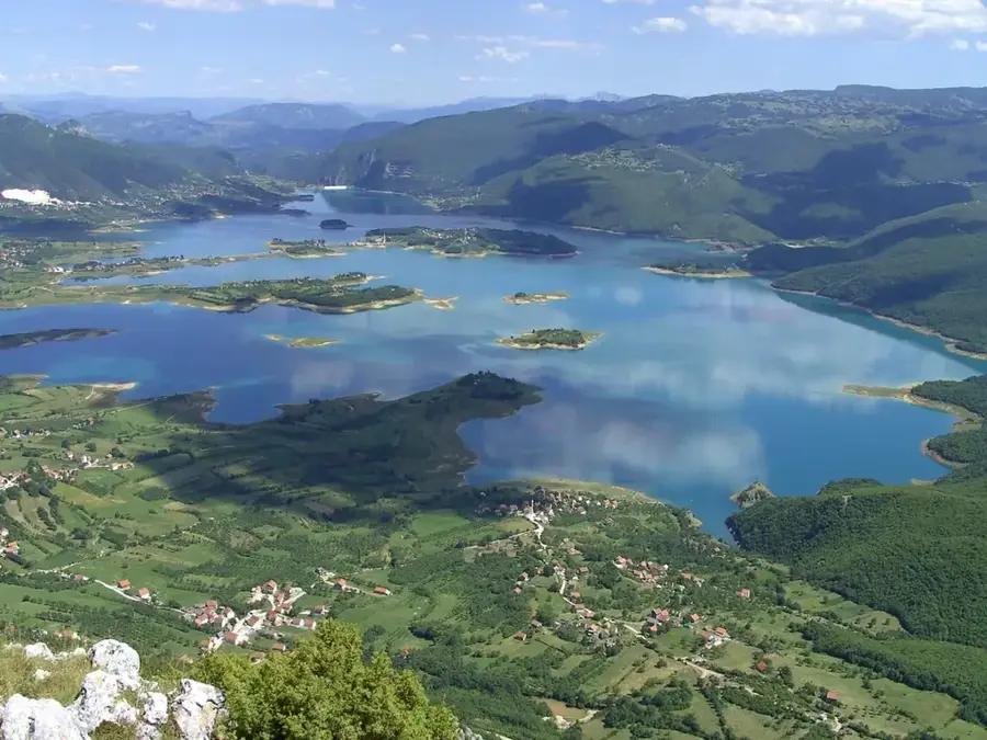
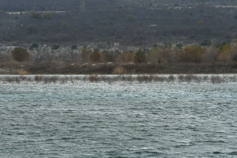
Blidinje Nature Park was established in 1995 and covers an area of approximately 358 square kilometers in central Herzegovina. It is situated on a high plateau between the prominent mountain massifs of Čvrsnica, Vran, and Čabulja. The heart of the park is Blidinje Lake, the largest mountain lake in Bosnia and Herzegovina, positioned at an altitude of 1,184 meters above sea level. A significant cultural highlight is the Dugo Polje necropolis, a UNESCO World Heritage site containing over 150 medieval tombstones known as stećci. The park's terrain is characterized by dramatic karst features, including caves and the iconic Hajdučka Vrata (Outlaw's Gate) natural stone arch on Mount Čvrsnica. The flora is exceptionally diverse, notably featuring the rare Bosnian pine (Pinus heldreichii) in the Masna Luka protected area. This area also houses a Franciscan monastery with an important art gallery and library. The park features skiing opportunities at the Risovac center during winter and good conditions for hiking and botanical exploration in summer. Blidinje provides a unique combination of pristine alpine nature and rich medieval cultural heritage.
- Location: Bosnia and Herzegovina
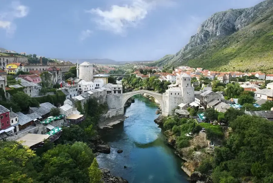
- Nearby: Blidinje Nature Park (6 km)
Best time to visit & climate
The most pleasant time to visit is Jun–Aug.
| Jan | Feb | Mar | Apr | May | Jun | Jul | Aug | Sep | Oct | Nov | Dec | |
|---|---|---|---|---|---|---|---|---|---|---|---|---|
| Avg °C | 0 | 1 | 4 | 9 | 13 | 18 | 21 | 22 | 16 | 11 | 6 | 1 |
| Rain mm | 105 | 99 | 88 | 73 | 64 | 52 | 32 | 40 | 84 | 95 | 128 | 123 |
📋 Practical info
Geography
Facts
- Nature Park status granted on April 30, 1995
- Blidinje Lake is located at 1,184 meters altitude
- Dugo Polje necropolis is a UNESCO World Heritage site
- Total park area covers approximately 358 sq km
- Highest peak Pločno rises to 2,228 meters
- Home to the rare and endemic Bosnian Pine species
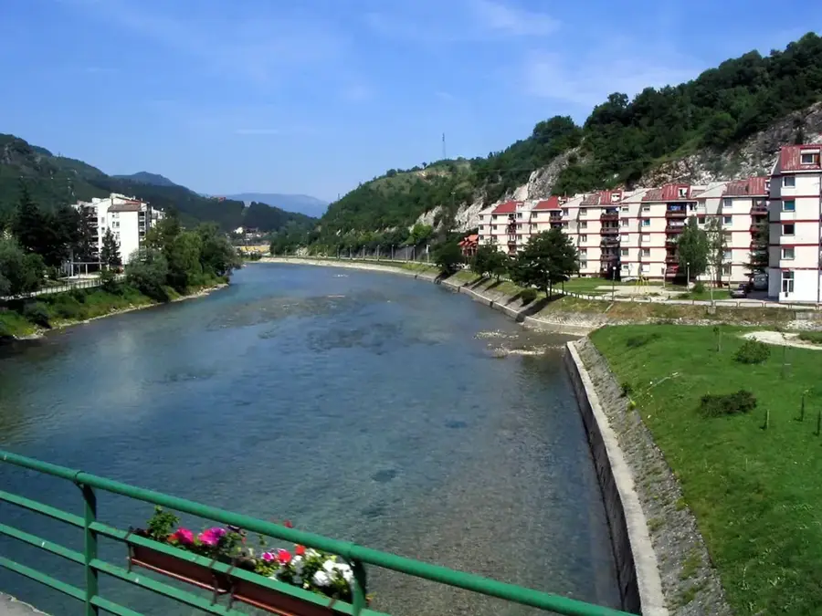
Explore nearby
Notable places around
Route planner — Car & Motorhome
Where do you start? We build the route here, with stops and country notes along the way.
© OpenStreetMap contributors · OpenRouteService
Sights in the town Blidinje Nature Park (1)
Sights nearby
Frequently asked questions
When is the best time to visit?
Are there accommodation options in the park?
What is the condition of the roads?
What are 'Stećci'?
Is the park suitable for families?
Blidinje Nature Park: where is it located?
Blidinje Nature Park: when is the best time to visit?
Blidinje Nature Park: why is it worth visiting?
Nearby cities

History & landmarks
Nature

More places