Plizio Visual Lab
Desaguadero River
Weather…
Water temperature…
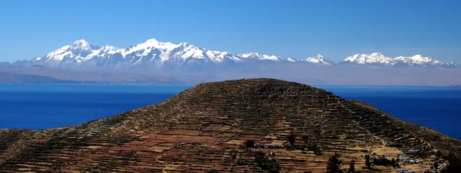
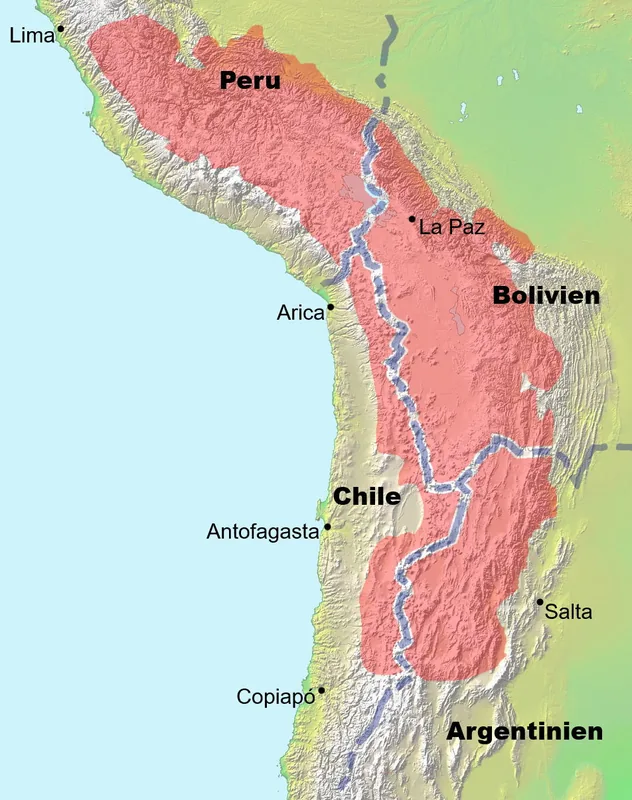
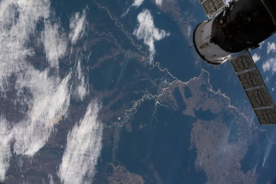
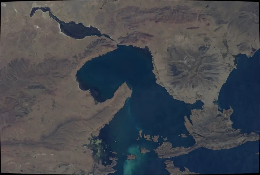
The Desaguadero River is the primary drainage system of the Bolivian Altiplano, serving as the only surface link between Lake Titicaca and the now largely desiccated Lake Poopó. Originating at the southern tip of Lake Titicaca at an elevation of approximately 3,812 meters, the river flows for about 436 kilometers in a southeasterly direction. Its hydrological importance is paramount for the water balance of the endorheic basin, although only about 5% of the outflow from Titicaca typically reaches the Poopó terminus. Throughout its course, the water salinity increases significantly due to high evaporation rates and the geological nature of the salty terrain. Historically, the river was a vital landmark for pre-Columbian civilizations, providing resources in an otherwise arid high-altitude environment. Today, the river faces severe environmental challenges, including heavy metal contamination from mining and the ecological impact of the vanishing Lake Poopó.
Best time to visit & climate
The most pleasant time to visit is Apr, Oct, Nov.
| Jan | Feb | Mar | Apr | May | Jun | Jul | Aug | Sep | Oct | Nov | Dec | |
|---|---|---|---|---|---|---|---|---|---|---|---|---|
| Avg °C | 11 | 11 | 11 | 9 | 6 | 5 | 5 | 6 | 8 | 10 | 12 | 12 |
| Rain mm | 101 | 86 | 53 | 21 | 7 | 26 | 7 | 12 | 18 | 25 | 29 | 78 |
📋 Practical info
Geography
Facts
- The total length of the Desaguadero River is approximately 436 kilometers.
- It connects Lake Titicaca at 3,812m to Lake Poopó at 3,686m altitude.
- A segment of the river forms the international border between Bolivia and Peru.
- The average flow velocity is very low, measured at about 0.3 meters per second.
- During extreme dry seasons, the outflow from Lake Titicaca can drop to zero.
- Salinity levels increase from 1 g/L at the source to over 10 g/L near the delta.
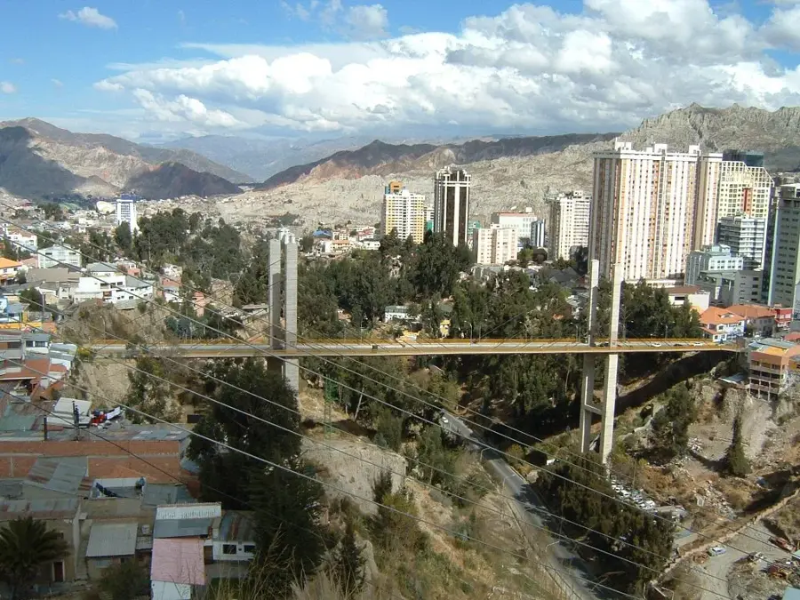
Explore nearby
Notable places around
Route planner — Car & Motorhome
Where do you start? We build the route here, with stops and country notes along the way.
© OpenStreetMap contributors · OpenRouteService
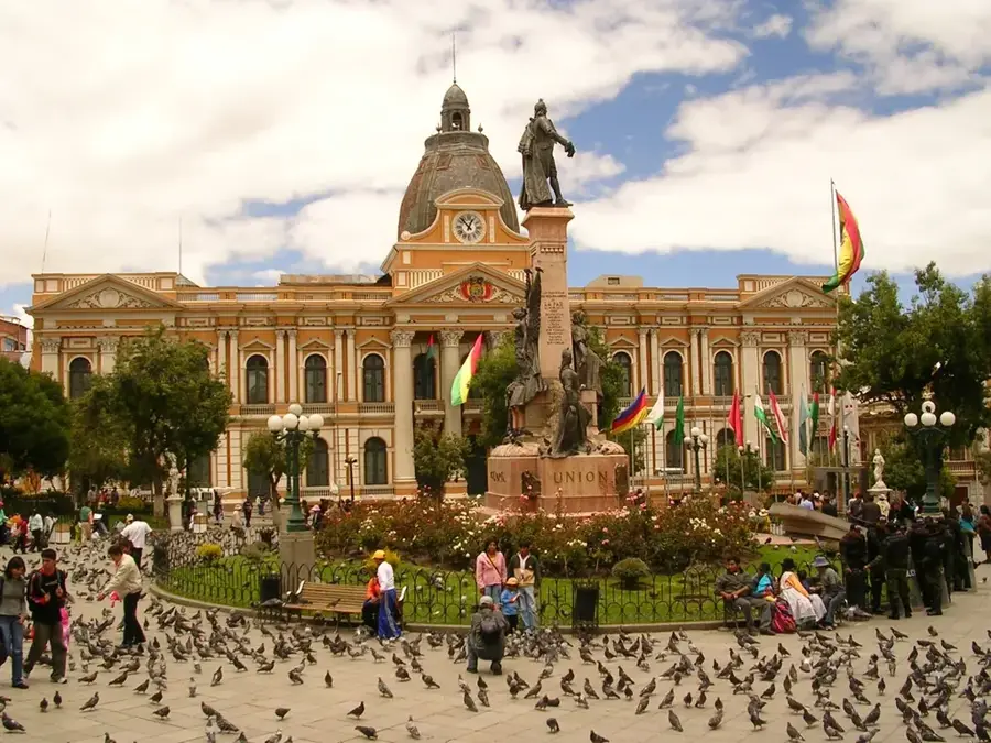
Sights nearby
Frequently asked questions
Which two lakes does the Desaguadero connect?
In which direction does the river flow?
What is the salinity of the water?
Is the river used for irrigation?
Are there archaeological sites by the river?
Desaguadero River: where is it located?
Desaguadero River: when is the best time to visit?
Desaguadero River: why is it worth visiting?

History & landmarks
More places