Plizio Visual Lab
Tsimasham

ℹ️Practical info — Tsimasham
▾
🌤 Weather — 5 days
📍 Nearby
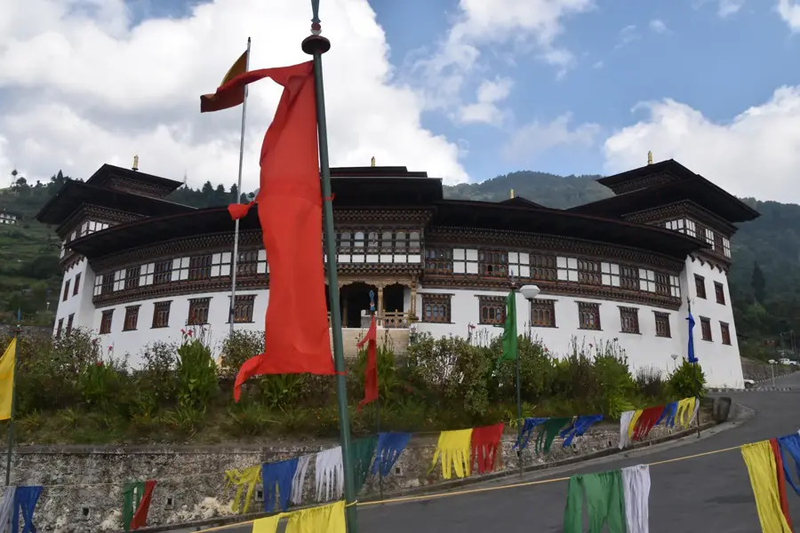
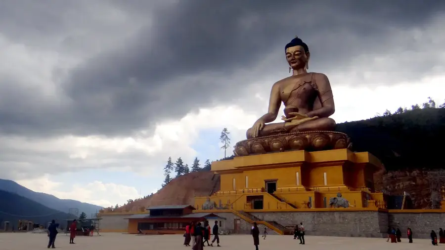
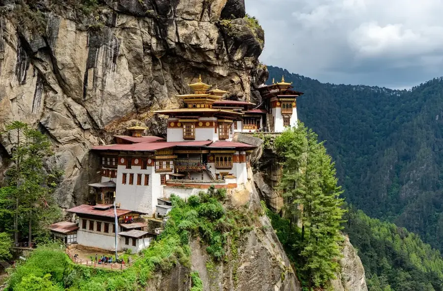
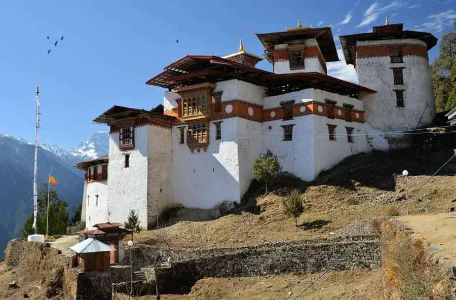
Sights nearby
💡 Tips
- The town is often shrouded in mist and fog, driving can be treacherous; proceed with caution.
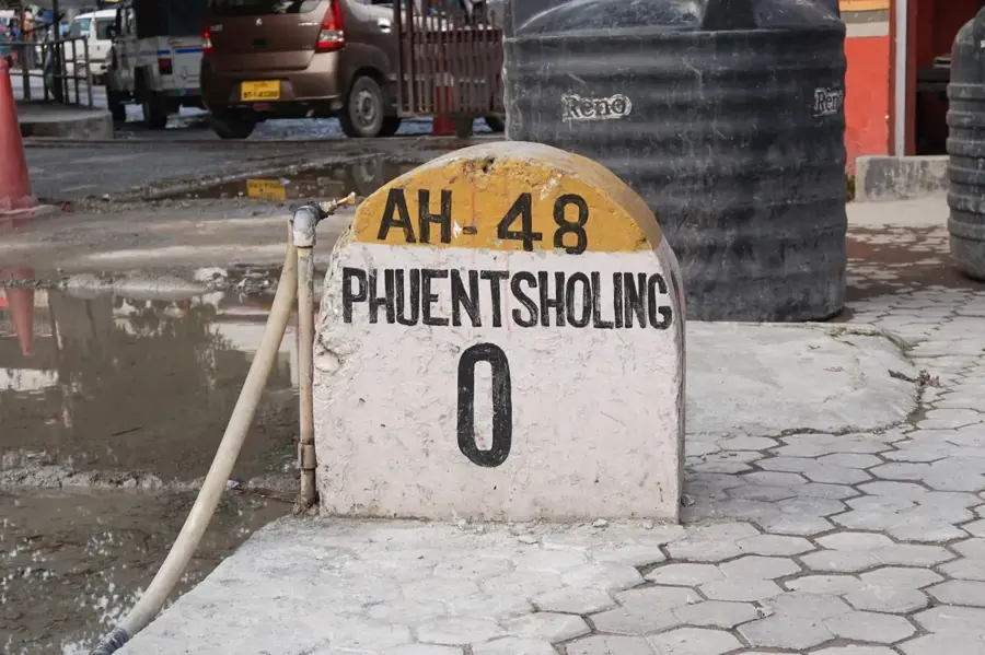
- It is a major rest stop on the Thimphu-Phuentsholing highway; expect busy roadside eateries.
- The altitude is quite high compared to the plains below, so temperatures can drop suddenly.
- Take a moment to view the Chukha Hydropower Dam from designated viewpoints.
🍽 Food
Hot tea and instant noodles, the quintessential quick highway meal.
Pork with radish, a hearty and warming dish for the cold weather.
Freshly baked bread and pastries for travelers.
🛍 Shopping · 🧘 Quiet spots
Selling local apples and various seasonal fruits.
Small souvenirs and essential provisions for the long trip ahead.
Sitting above the town, it gives panoramic views of the valley.
Short walks leading away from the busy highway.
Water temperature…
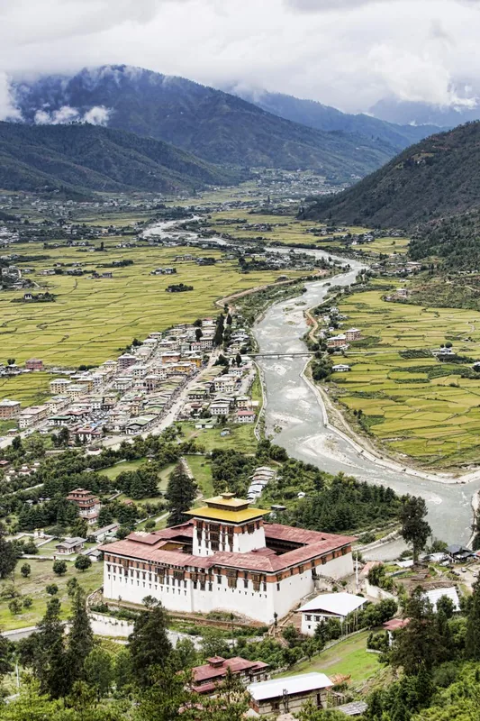
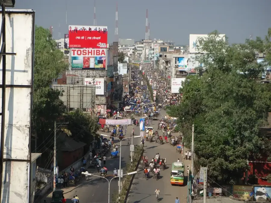
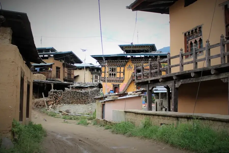
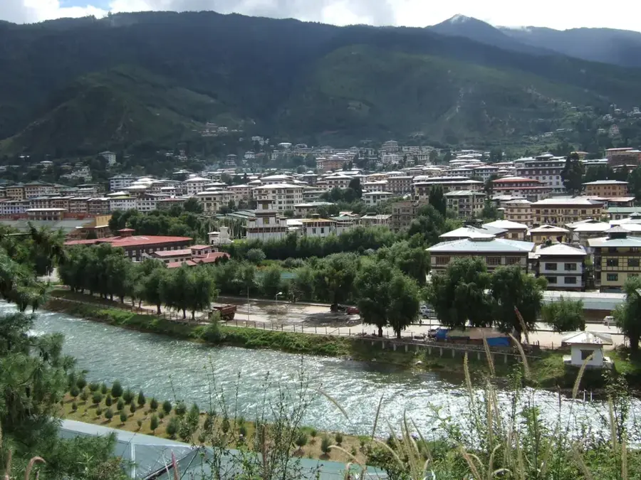
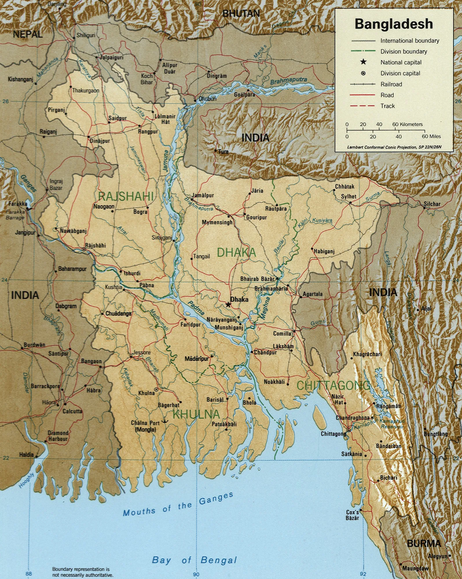
Tsimasham is a significant urban settlement in the Chukha District of Bhutan, located along the main highway connecting Thimphu and Phuentsholing. The town gained prominence due to its proximity to the Chukha Hydropower Plant, which was Bhutan's first major hydroelectric project commissioned in the 1980s. It serves as a crucial transit point for travelers and goods moving between the capital and the southern border. Geographically, it is perched on the slopes above the Wang Chhu River at an elevation of approximately 2,100 meters. The settlement houses administrative offices for the Chukha Dratshang and provides essential services to the surrounding rural communities. Its economy is largely driven by its position as a transport node and the presence of government institutions. The surrounding landscape is dominated by steep valleys and temperate forests characteristic of the central Bhutanese highlands.
- Location: Bhutan
- Nearby: Paro (13 km)
- Population: ~2.855 (2026)
Best time to visit & climate
The most pleasant time to visit is Apr, Oct, Nov.
| Jan | Feb | Mar | Apr | May | Jun | Jul | Aug | Sep | Oct | Nov | Dec | |
|---|---|---|---|---|---|---|---|---|---|---|---|---|
| Avg °C | 8 | 10 | 13 | 16 | 18 | 20 | 20 | 20 | 19 | 16 | 13 | 9 |
| Rain mm | 5 | 13 | 36 | 91 | 173 | 263 | 397 | 304 | 239 | 92 | 5 | 3 |
Geography
Facts
- Tsimasham is situated at an elevation of about 2,100 meters above sea level.
- The town previously served as the administrative headquarters of Chukha District.
- The nearby Chukha Hydropower Plant was officially inaugurated in 1988.
- It is located on the strategically vital Thimphu-Phuentsholing highway.
- The surrounding area features dense temperate coniferous and broadleaf forests.
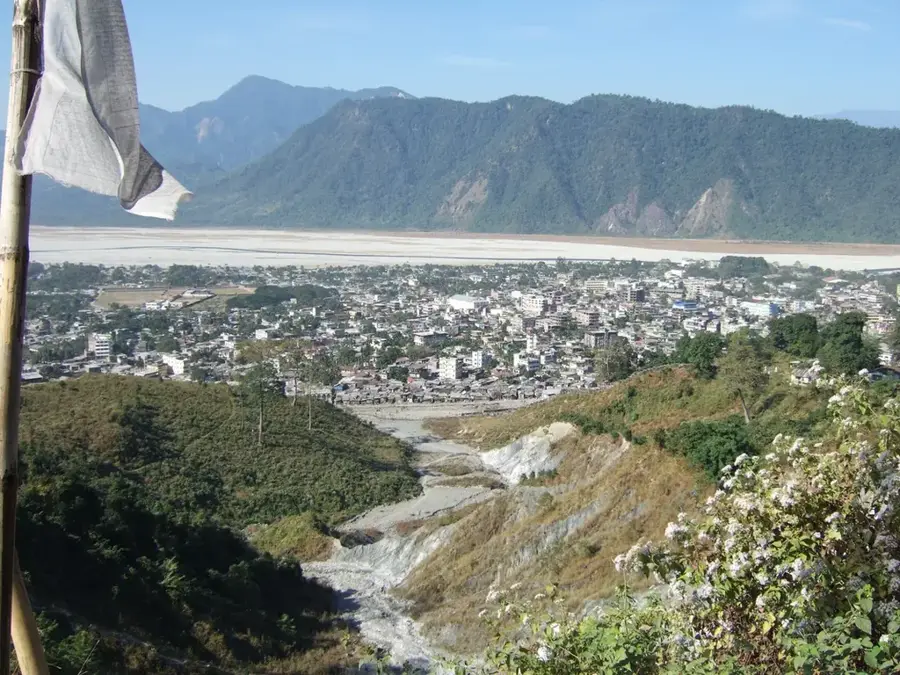
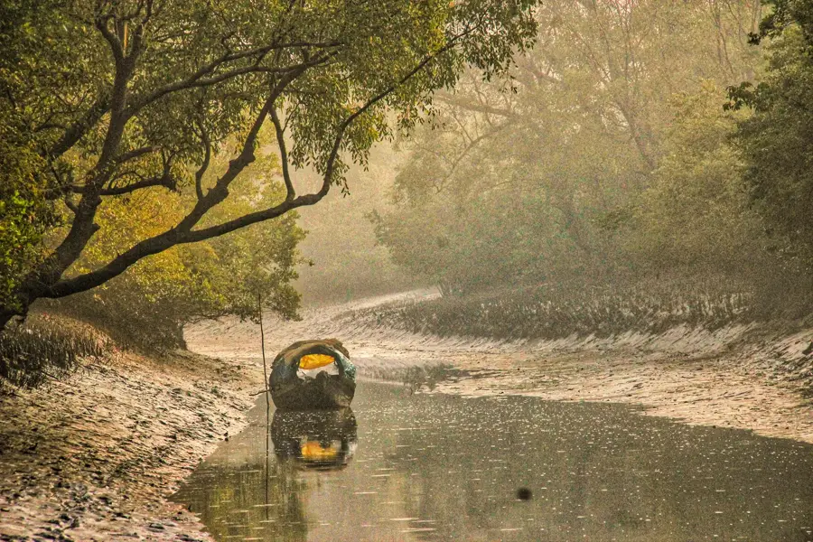
- The Wang Chhu River flows through a deep valley located below the settlement.
Explore nearby
Notable places around
Route planner — Car & Motorhome
Where do you start? We build the route here, with stops and country notes along the way.
© OpenStreetMap contributors · OpenRouteService
Frequently asked questions
Where is Tsimasham located?
Is Tsimasham a good pit stop?
What can you see in Tsimasham?
How is the climate in Tsimasham?
Are there hotels there?
Tsimasham: where is it located?
Tsimasham: when is the best time to visit?
Tsimasham: why is it worth visiting?

Nearby cities


History & landmarks
Nature
More places