Plizio Visual Lab
Abomey Plateau

Weather…
Water temperature…
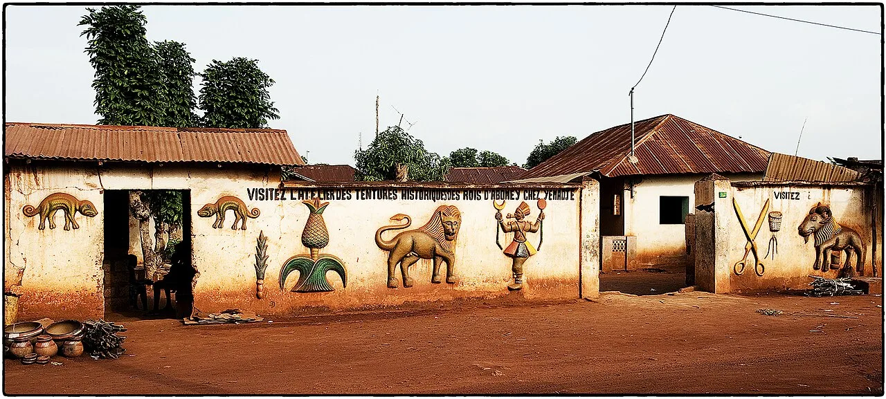
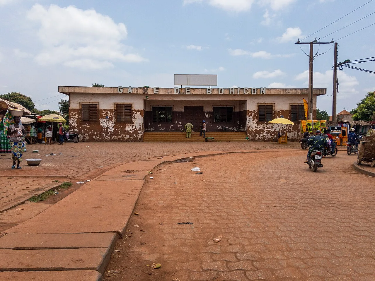
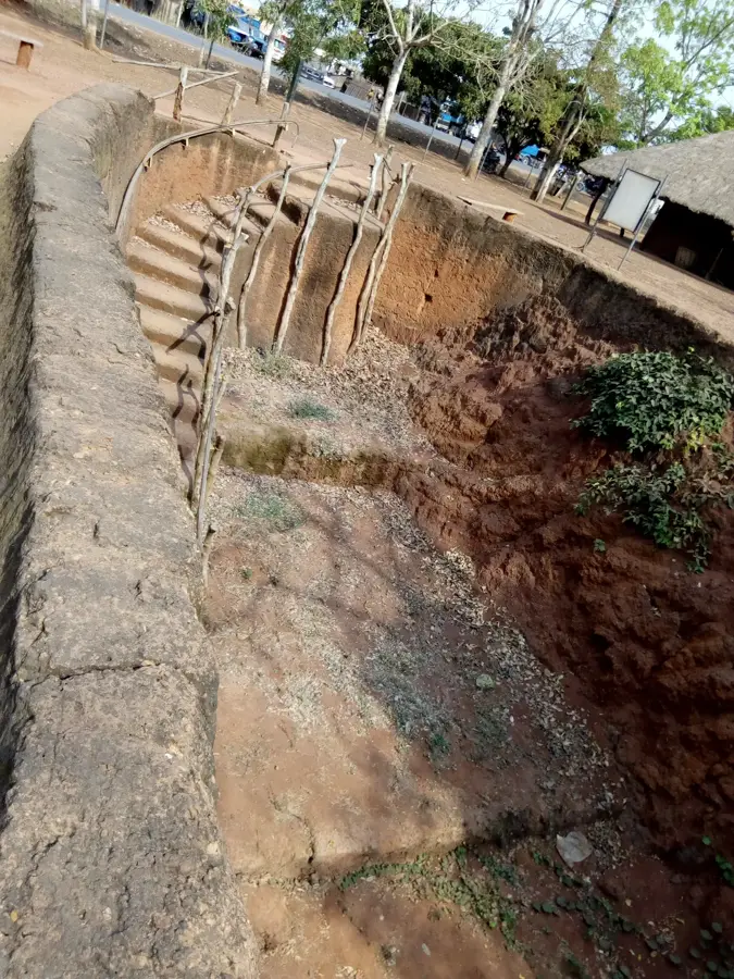
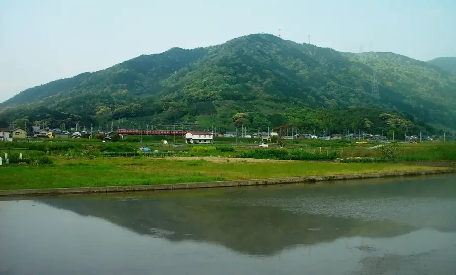
The Abomey Plateau in southern Benin is a prominent geographical feature situated at an average elevation of 200 to 300 meters above sea level. Historically, this region served as the heart of the Kingdom of Dahomey, which flourished from the 17th to the 19th centuries, leaving behind a rich architectural legacy including the Royal Palaces of Abomey. Geologically, the plateau is characterized by its ferruginous laterite soil, which gives the landscape its distinctive reddish hue and supports various agricultural activities such as the cultivation of maize and yams. The plateau transitions from the coastal lagoons in the south to the more rugged hills of central Benin in the north. Its climate is tropical, with two distinct rainy seasons that influence the local hydrology and vegetation patterns. Today, the plateau remains a vital cultural and economic hub, attracting scholars and tourists interested in West African history and the evolution of the Fon people's societal structures.
- Location: Benin
- Top sights: Le palais du Roi Houégbadja · LE REGAL salle de Fête · Ets Joly
Best time to visit & climate
The most pleasant time to visit is Jan, Nov, Dec.
| Jan | Feb | Mar | Apr | May | Jun | Jul | Aug | Sep | Oct | Nov | Dec | |
|---|---|---|---|---|---|---|---|---|---|---|---|---|
| Avg °C | 26 | 28 | 28 | 28 | 27 | 26 | 25 | 25 | 25 | 26 | 26 | 26 |
| Rain mm | 15 | 29 | 73 | 102 | 141 | 174 | 176 | 124 | 194 | 142 | 32 | 14 |
📋 Practical info
Geography
Facts
- Average elevation ranges between 200 and 300 meters
- Historical heartland of the Kingdom of Dahomey
- Soil is predominantly composed of red laterite
- Home to the UNESCO World Heritage Royal Palaces
- Tropical climate with two distinct rainy seasons
- Key agricultural region for maize and yam production
Explore nearby
Notable places around
Route planner — Car & Motorhome
Where do you start? We build the route here, with stops and country notes along the way.
© OpenStreetMap contributors · OpenRouteService
Sights in the town Abomey Plateau (3)
Sights nearby
Frequently asked questions
Where is the Abomey Plateau located?
What is the plateau known for?
What is the soil like on the plateau?
Are there museums there?
What is the main food there?
Abomey Plateau: where is it located?
Abomey Plateau: what is there to see?
Abomey Plateau: when is the best time to visit?
Abomey Plateau: why is it worth visiting?

Nearby cities

Nature
More places