Plizio Visual Lab
Signal de Botrange
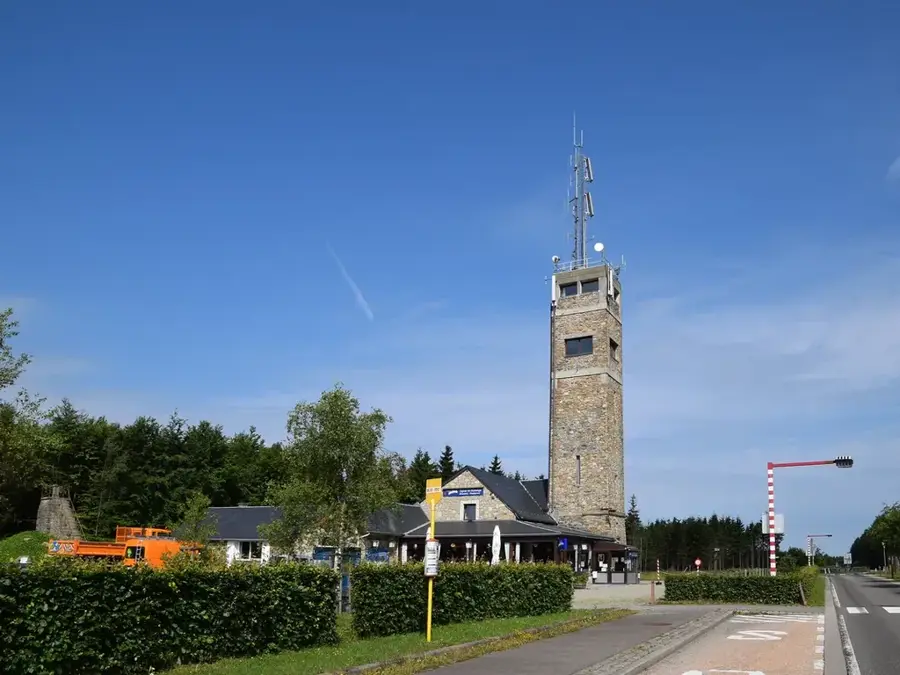
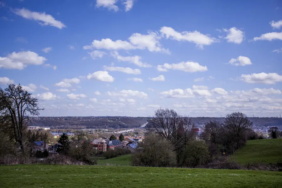
Signal de Botrange is the highest point in Belgium, reaching an elevation of 694 meters, and is situated on the High Fens (Hautes Fagnes) plateau. This extensive nature reserve is characterized by its unique raised bog landscape, which is among the oldest and most ecologically valuable in Northwestern Europe. Geologically, the substrate consists of Cambrian sediments shaped by erosion over millions of years. To reach the symbolic height of 700 meters, the Baltia Tower was constructed in 1923, consisting of an artificial mound with a stone staircase. The climate at Signal de Botrange is significantly harsher than the rest of the country, featuring frequent fog, high precipitation, and prolonged snow periods in winter. Since 1957, the area has been under strict nature protection to preserve delicate flora such as cottongrass and various peat moss species. The region also serves as a major watershed for the area's rivers and provides hikers a wide network of wooden boardwalks that allow for navigation through the marshy terrain. Scientific monitoring of meteorological conditions has been conducted here for decades via a permanent weather station.
- Location: Belgium
- Top sights: Butte Baltia · Cascade du Bayehon
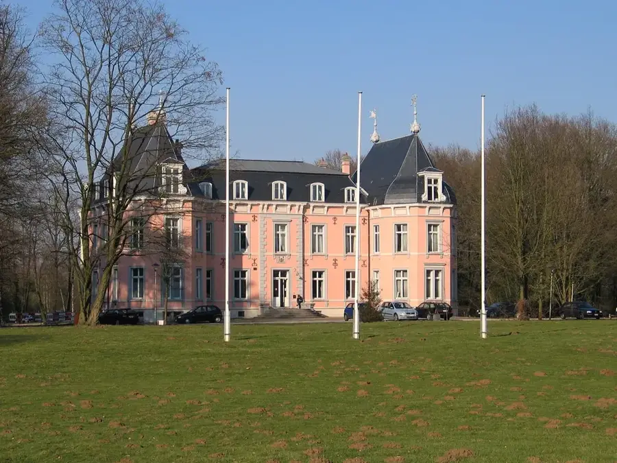
- Nearby: Robertville (6 km)
Best time to visit & climate
The most pleasant time to visit is Jun–Aug.
| Jan | Feb | Mar | Apr | May | Jun | Jul | Aug | Sep | Oct | Nov | Dec | |
|---|---|---|---|---|---|---|---|---|---|---|---|---|
| Avg °C | 0 | 0 | 4 | 8 | 12 | 15 | 17 | 17 | 13 | 9 | 5 | 1 |
| Rain mm | 86 | 76 | 72 | 53 | 77 | 79 | 84 | 91 | 66 | 70 | 78 | 90 |
📋 Practical info
Geography
Facts
- At 694 meters above sea level, it is the highest natural point in Belgium.
- The Baltia Tower was erected in 1923 to surpass the 700-meter mark.
- Located in the High Fens, Wallonia's oldest nature reserve (since 1957).
- The average annual temperature is the lowest in all of Belgium.
- The area is known for its extensive peat layers, up to 7 meters thick.
- An artificial mound of 6 meters height compensates the difference to 700m.
Explore nearby
Notable places around
Route planner — Car & Motorhome
Where do you start? We build the route here, with stops and country notes along the way.
© OpenStreetMap contributors · OpenRouteService
Sights in the town Signal de Botrange (2)
Sights nearby
Frequently asked questions
What is Signal de Botrange?
Is there an observation tower there?
Can you ski there in winter?
What is the High Fens?
Is there a visitor center?
Signal de Botrange: where is it located?
Signal de Botrange: what is there to see?
Signal de Botrange: when is the best time to visit?
Signal de Botrange: why is it worth visiting?

Nearby cities