Plizio Visual Lab
Careenage Waterfront
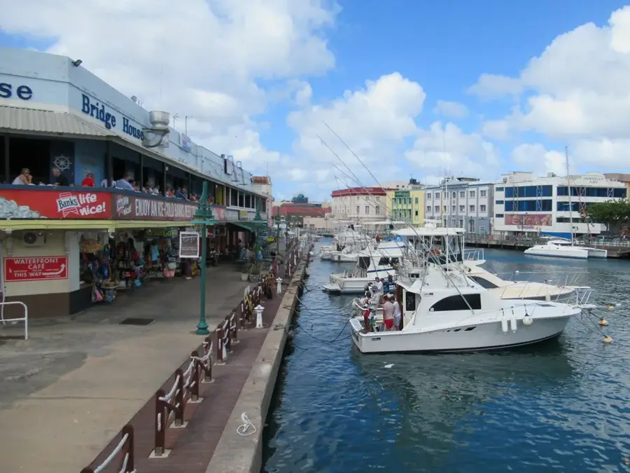
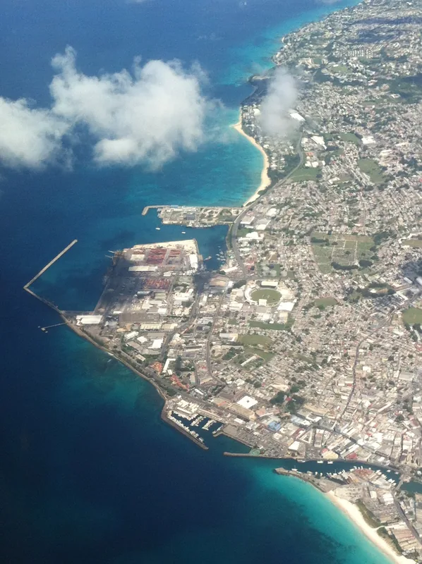
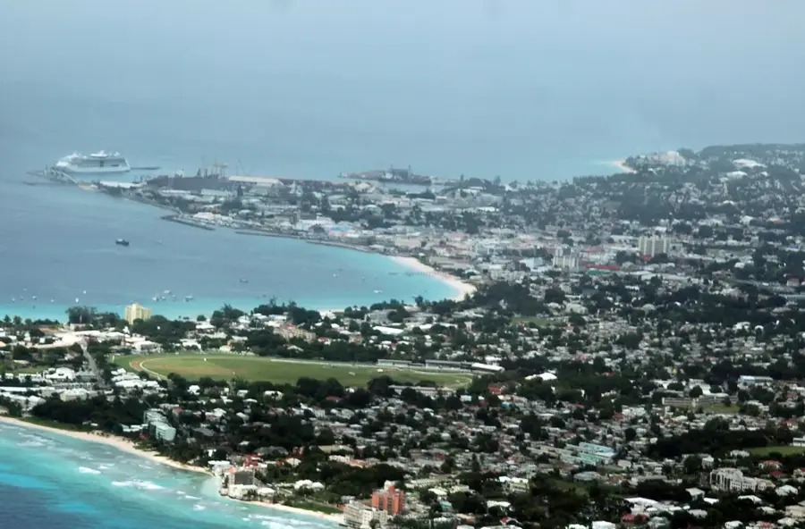
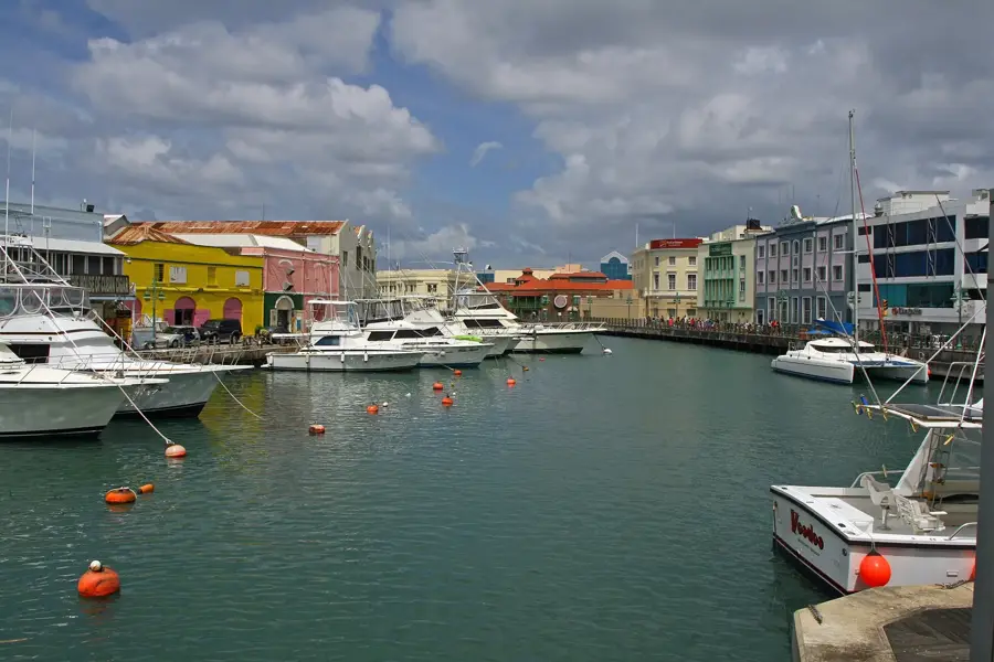
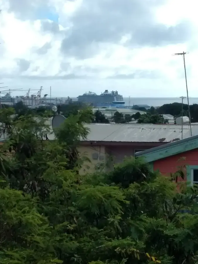
The Careenage Waterfront is the historic centerpiece of Bridgetown and a vital part of its UNESCO World Heritage designation. Its name is derived from the 'careening' technique used by early mariners, who would tip their vessels onto their sides in the shallow waters of the Constitution River to clean and repair their hulls. For centuries, this sheltered inlet was the commercial lifeline of Barbados, bustling with schooners and steamboats exporting sugar and rum to the far reaches of the British Empire. Today, the waterfront has evolved into a scenic marina lined with beautifully restored coral-stone warehouses that now house upscale boutiques and waterfront dining. The iconic Chamberlain Bridge, featuring the Independence Arch, spans the water and serves as a popular viewpoint for observing the sleek yachts and fishing boats moored along the quay. Walking along the Careenage has a blend of maritime history and modern Bajan culture, where the legacy of the island's seafaring past remains visible in the historic bollards and anchorages that still dot the waterfront.
- Location: Barbados
- Top sights: Chamberlain Bridge · National Heroes Square · Constitution River
- Nearby: Graeme Hall (4 km)
Best time to visit & climate
The most pleasant time to visit is Jan–Mar.
| Jan | Feb | Mar | Apr | May | Jun | Jul | Aug | Sep | Oct | Nov | Dec | |
|---|---|---|---|---|---|---|---|---|---|---|---|---|
| Avg °C | 26 | 26 | 26 | 27 | 28 | 28 | 28 | 28 | 28 | 28 | 28 | 27 |
| Rain mm | 34 | 19 | 19 | 28 | 52 | 72 | 74 | 95 | 98 | 132 | 107 | 49 |
📋 Practical info
Geography
Facts
- Promenade length: 1.2 km (0.75 mi)
- Careenage depth: up to 4 meters (13 ft)
- Number of docking berths: 12
- Construction of basin: 1650
- Annual vessel movements: approximately 500
- Average water temperature: 27°C (81°F)
Explore nearby
Notable places around
Route planner — Car & Motorhome
Where do you start? We build the route here, with stops and country notes along the way.
© OpenStreetMap contributors · OpenRouteService
Sights in the town Careenage Waterfront (3)
Sights nearby
Frequently asked questions
What is the historical significance of the Careenage?
Is it possible to walk here?
Which is the most famous bridge?
Are there restaurants nearby?
When is the best time to visit?
Careenage Waterfront: where is it located?
Careenage Waterfront: what is there to see?
Careenage Waterfront: when is the best time to visit?
Careenage Waterfront: why is it worth visiting?

Nearby cities